219 miles of Wild and Scenic river, photographed launch by launch
Map observations, inspect the supporting 360° views, and export selected evidence for GIS.
400 of 400 public captures assessedThe North Fork, Middle Fork, and South Fork of the Flathead make up 219 miles of the federally protected Flathead Wild and Scenic River system. These are the rivers the 1968 Wild & Scenic Rivers Act was written with in mind, draining almost six million acres of some of the most ecologically intact country in North America.
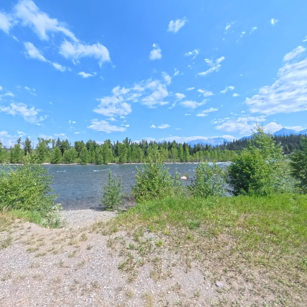
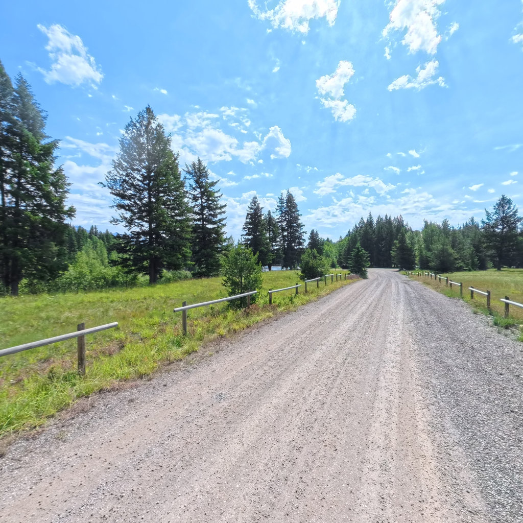
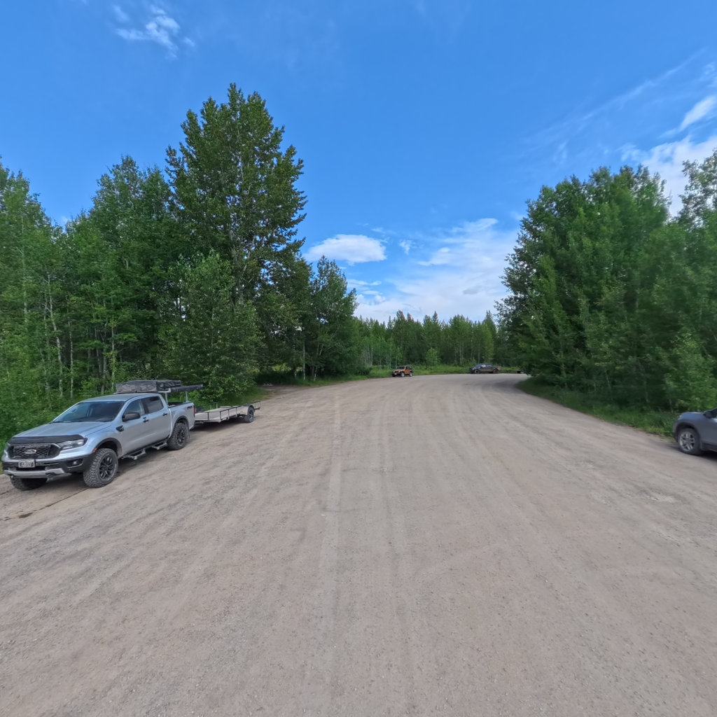
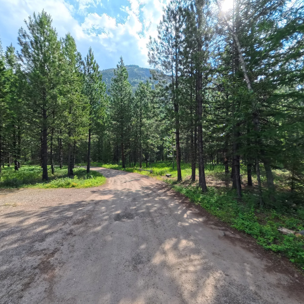
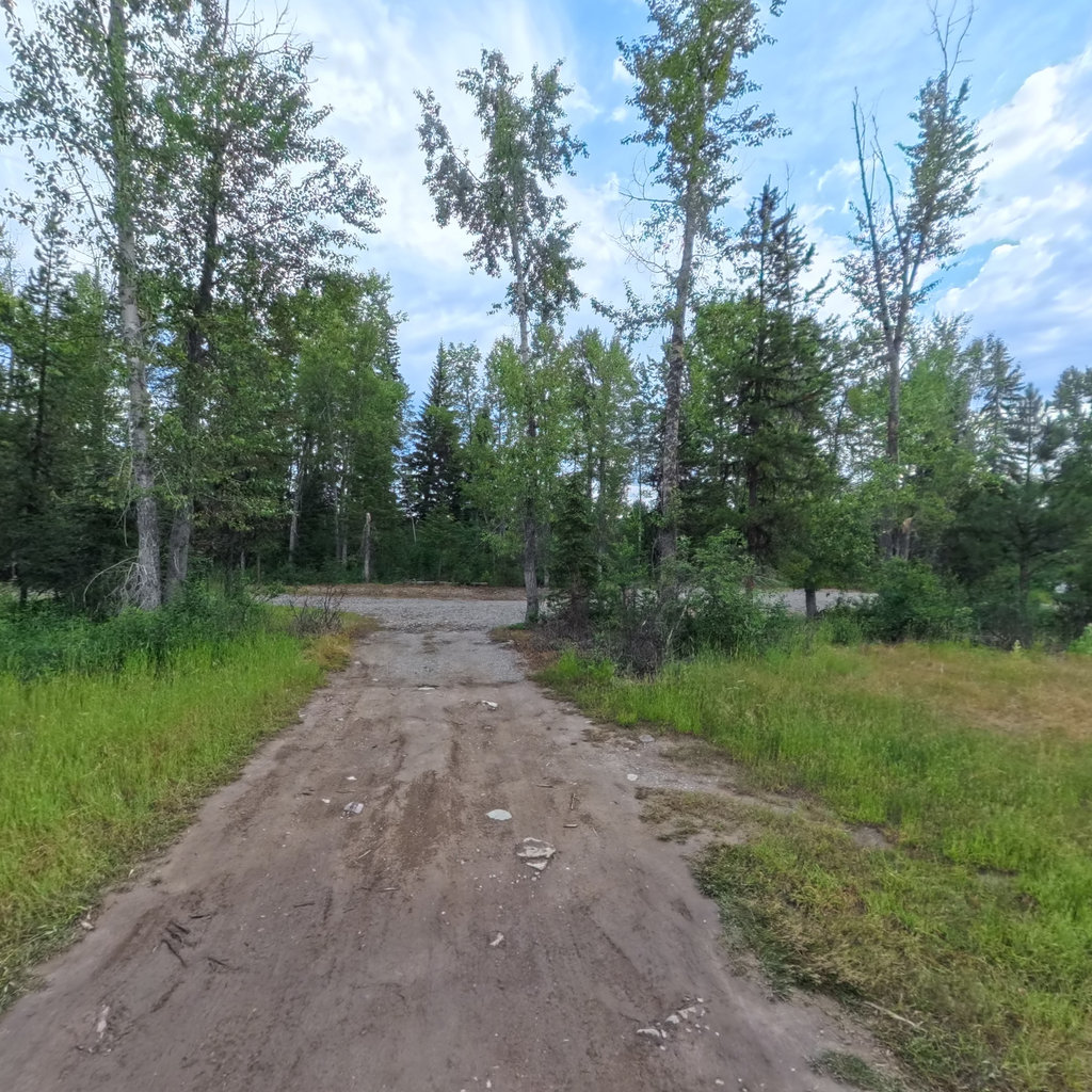
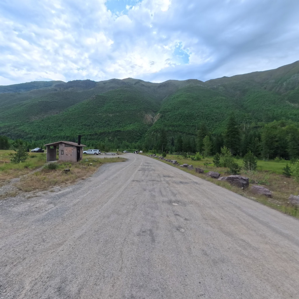
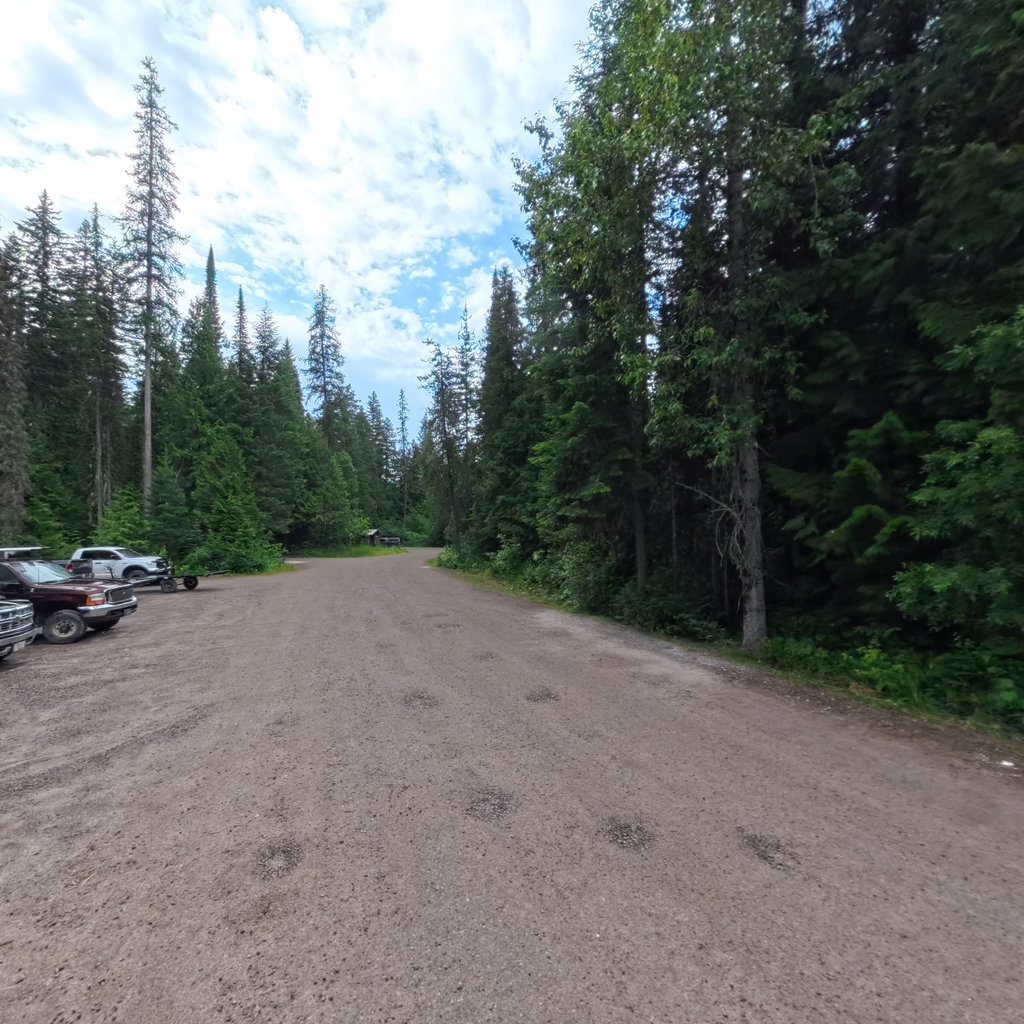
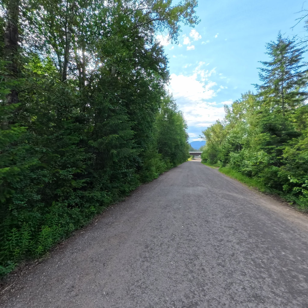
In July 2026 we photographed the river access sites on all three forks in 360 degrees, working from the Flathead Rivers Alliance's own list of official launches: sixteen sites from the Canadian border down to the confluence at Blankenship, plus the two launches below Hungry Horse Dam. Every launch was captured at the water's edge, so you can stand on the ramp before you drive out to it.
The work was commissioned by DREAM Adaptive Recreation and the Flathead Rivers Alliance, who have partnered since 2022 to improve trip-planning information for river users of all abilities. FRA field crews measured every ramp: gap widths, cross slopes, tread widths, surface composition. Pairing those measurements with ground-truth 360 imagery is the point of the project.
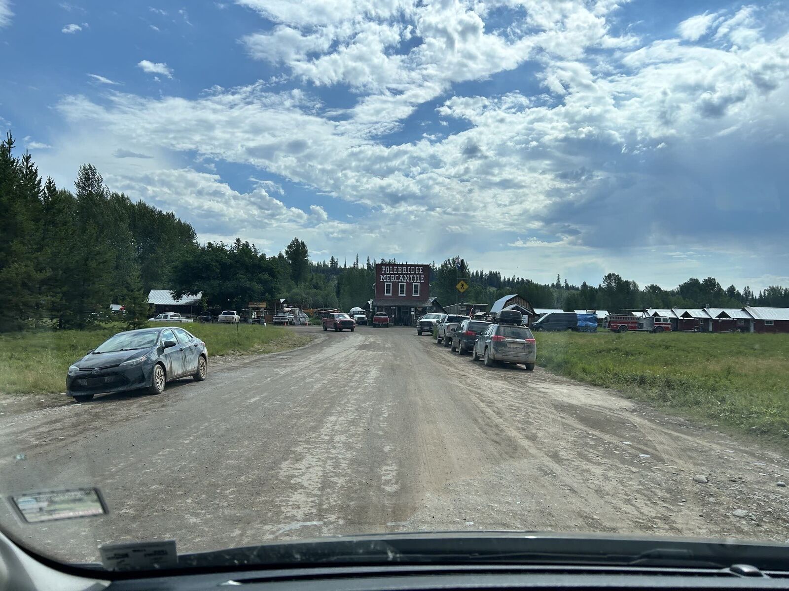
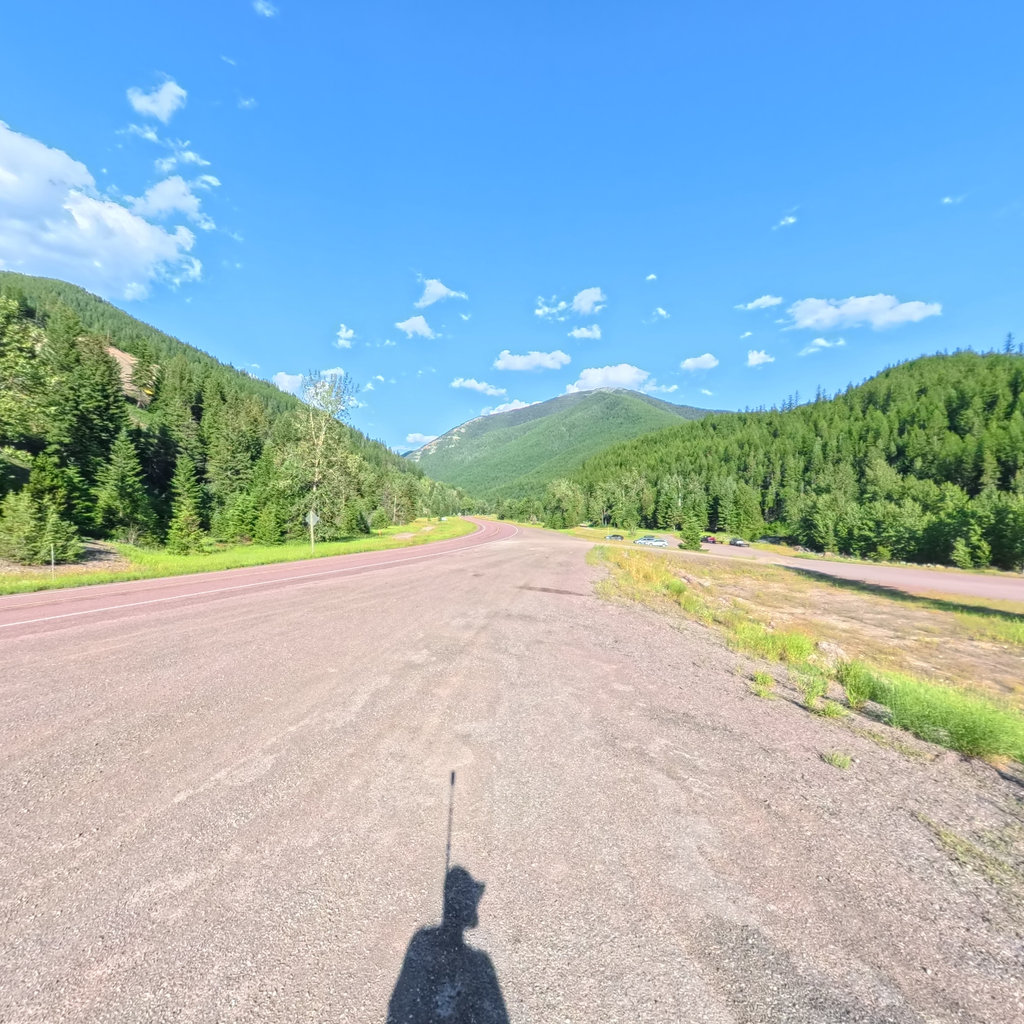
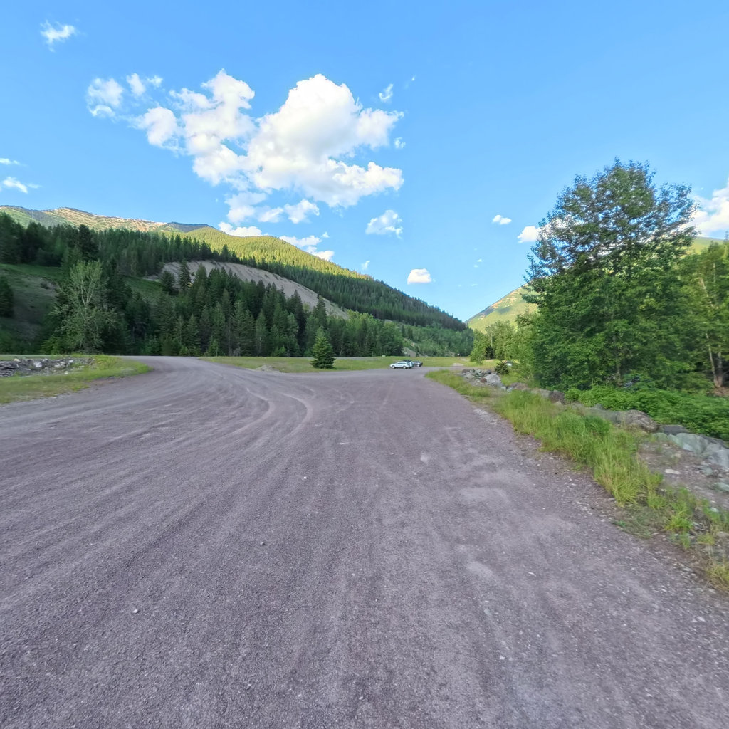
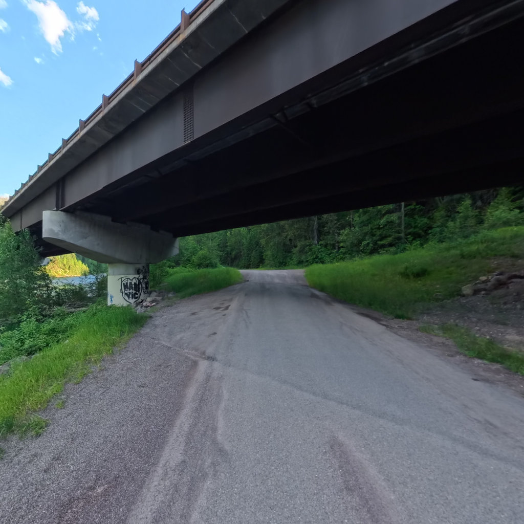
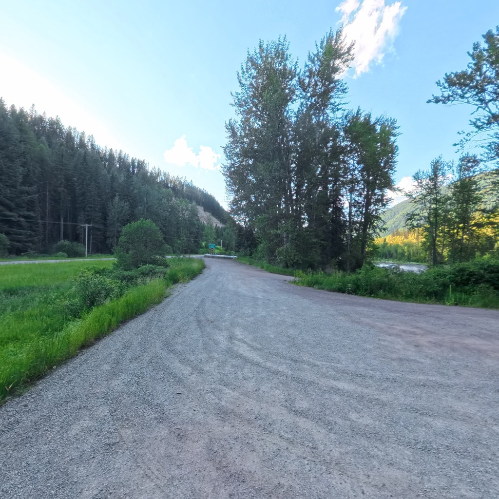
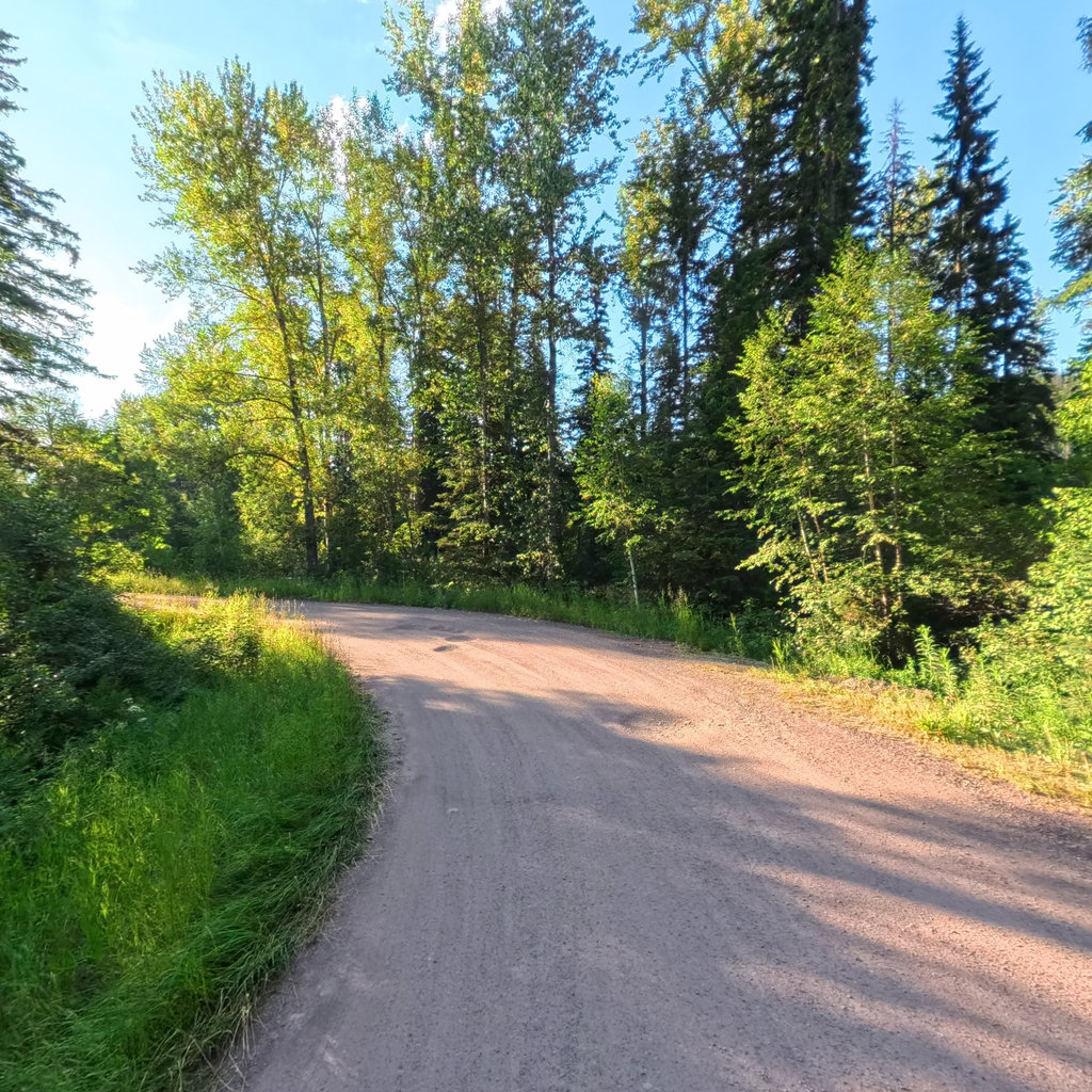
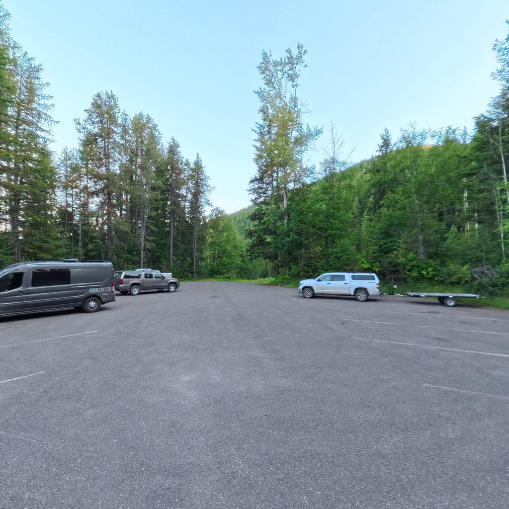
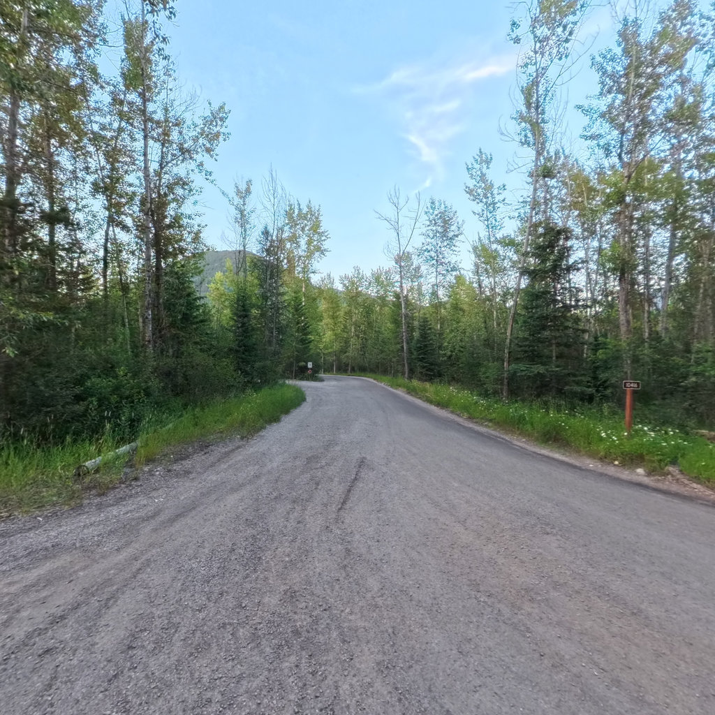
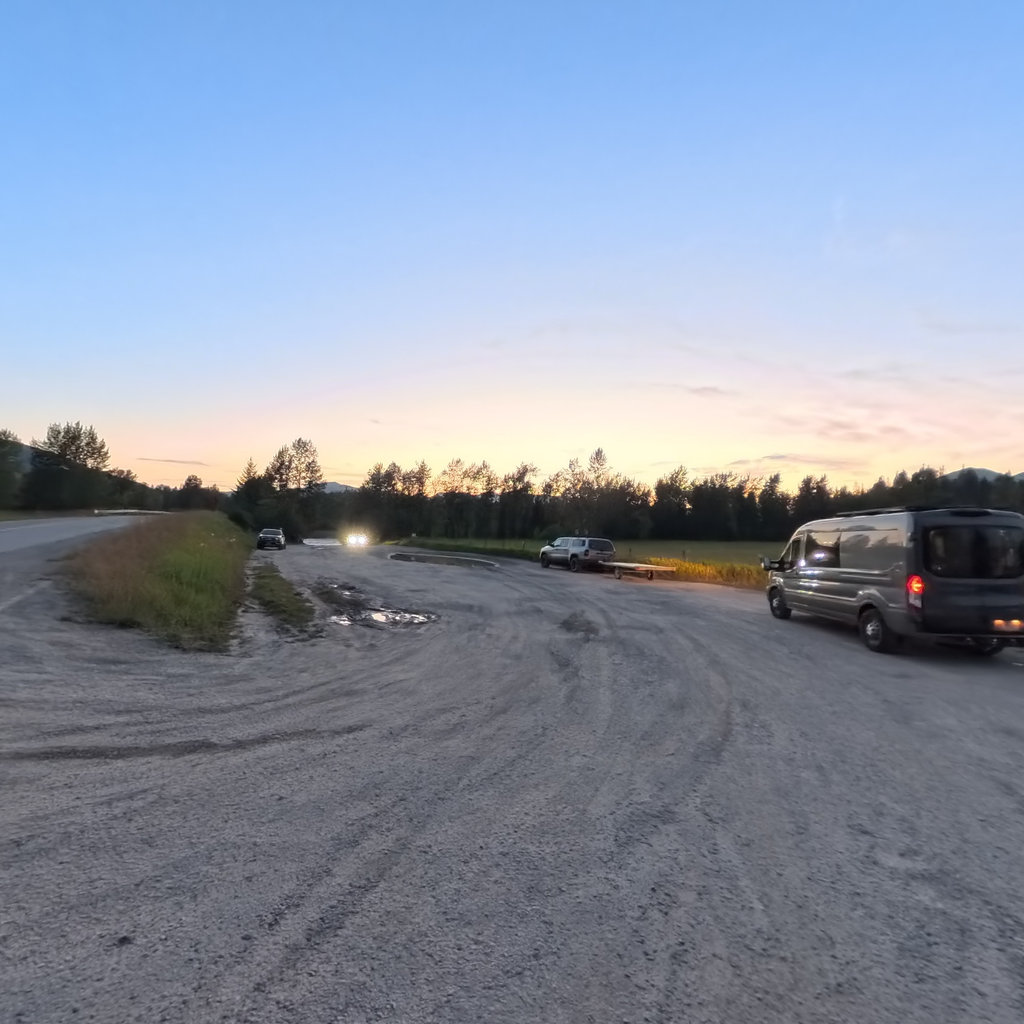
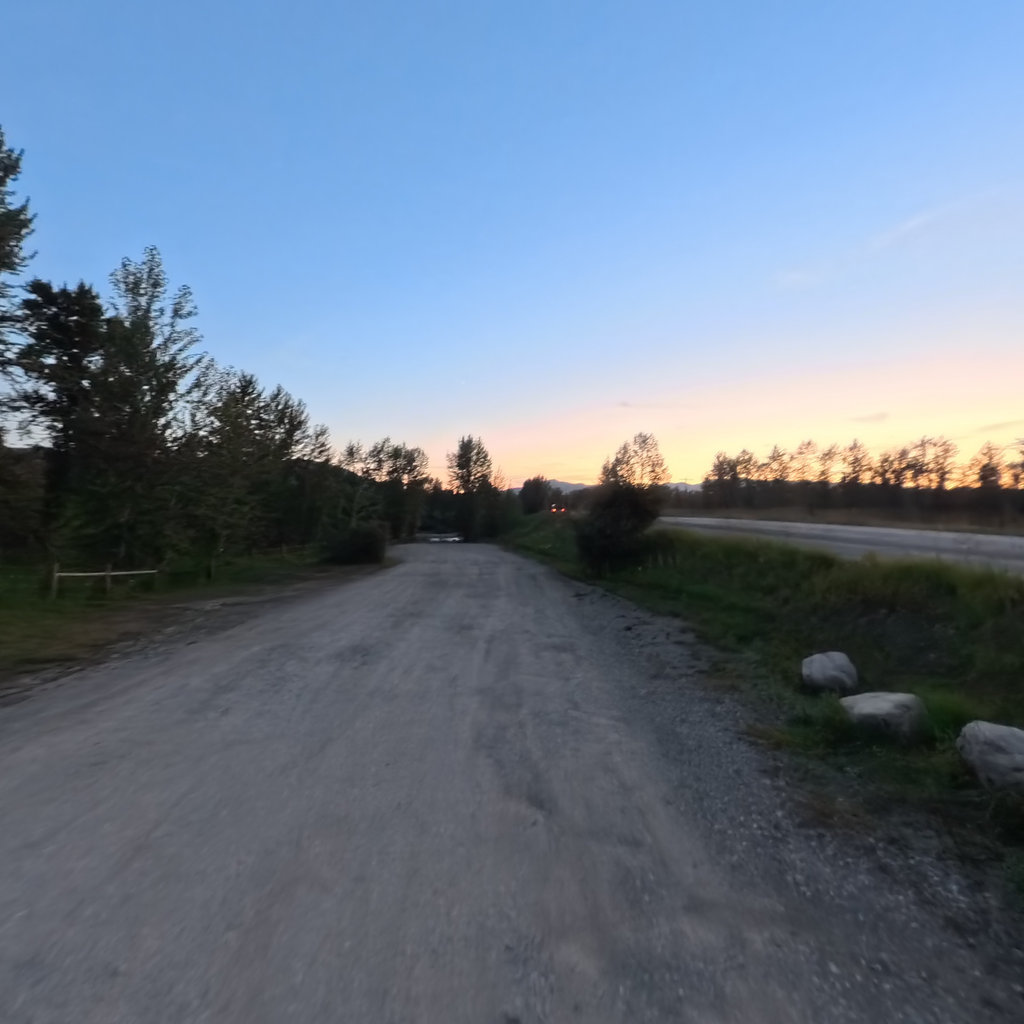
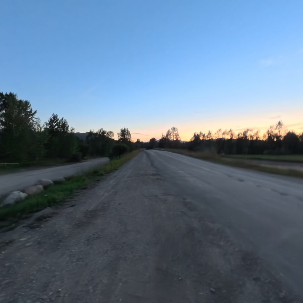
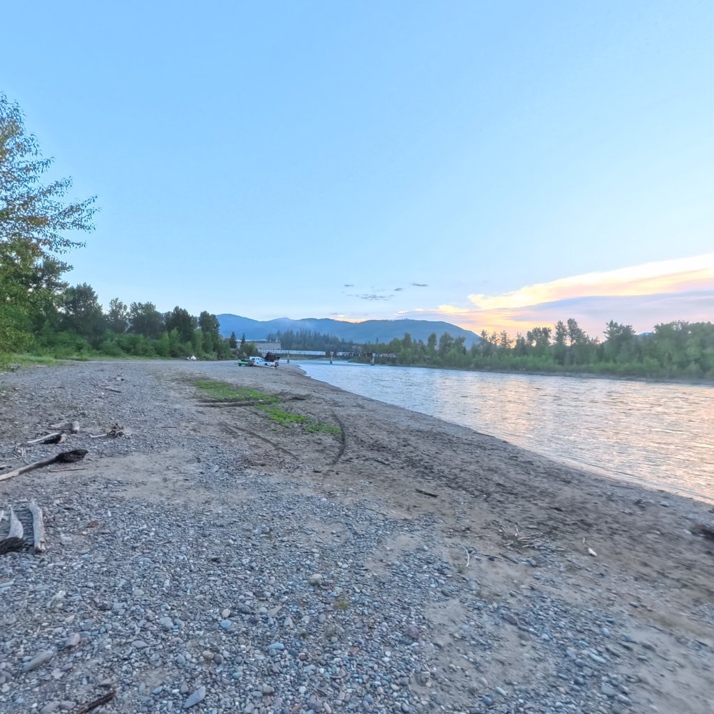
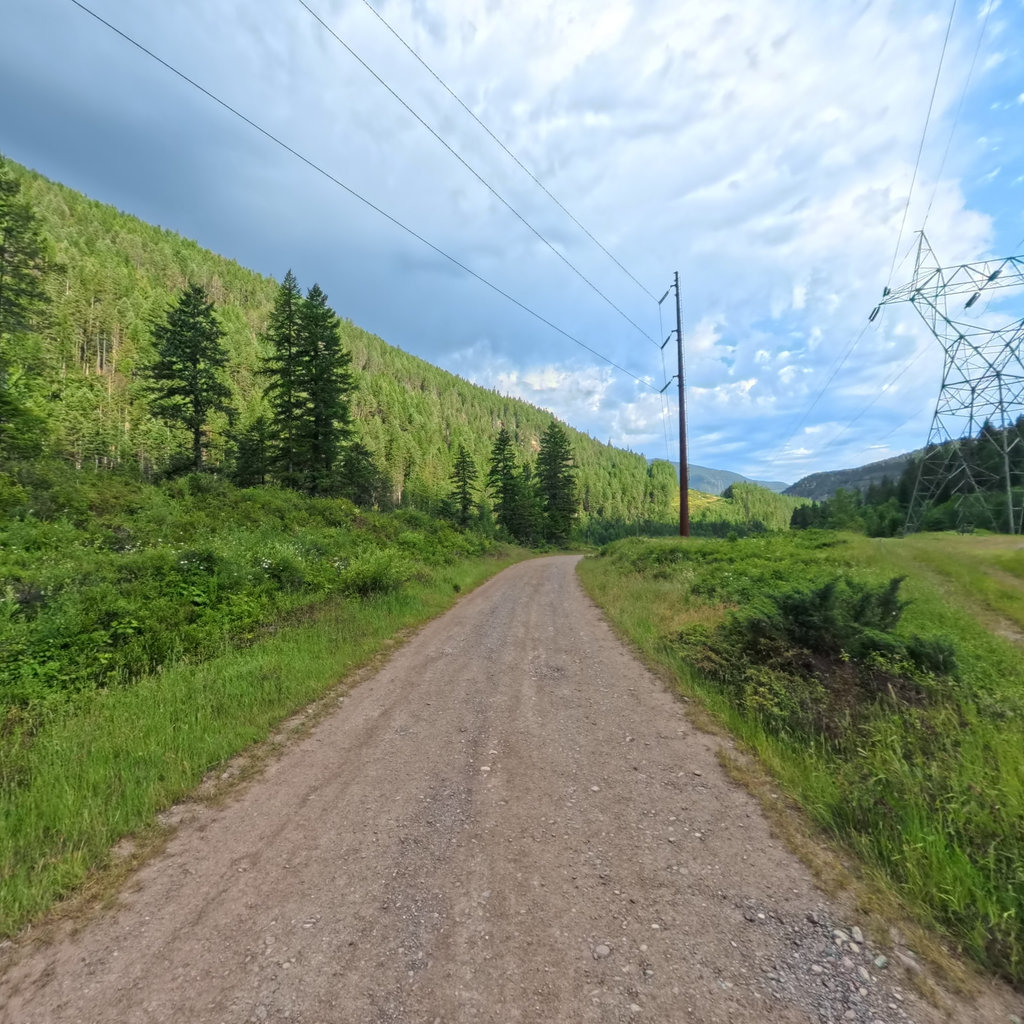
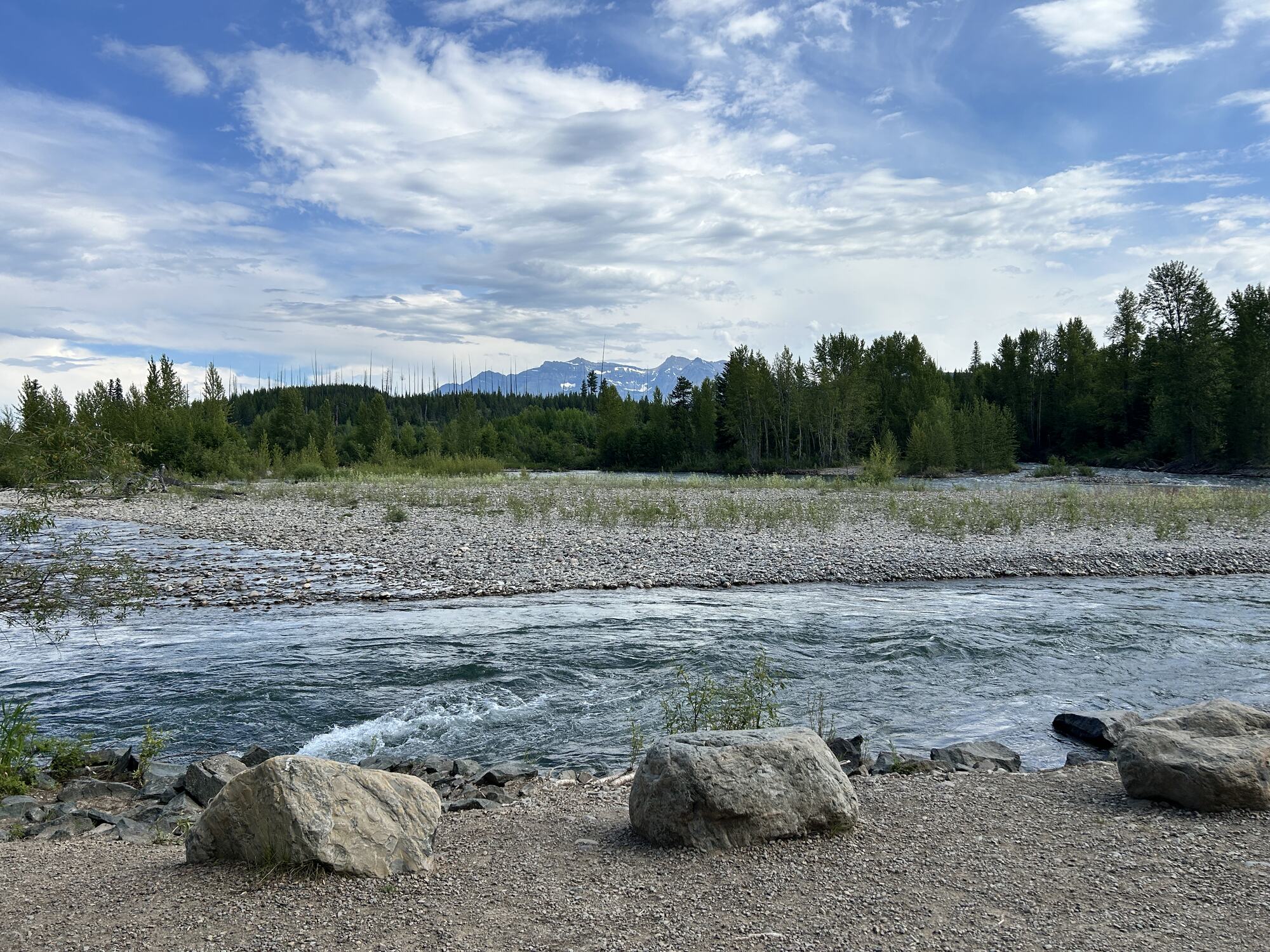
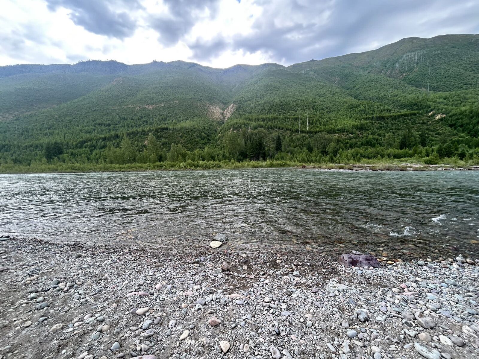
Field photography, July 2026. Clockwise from top left: the Middle Fork near Bear Creek, Great Northern Flats on the North Fork, the Polebridge Mercantile, and the cobble bar at Blankenship.
FRA protects and enhances the Flathead Wild and Scenic River system. Their trip-planning hub carries current alerts, gear notes, and outfitters.
Read →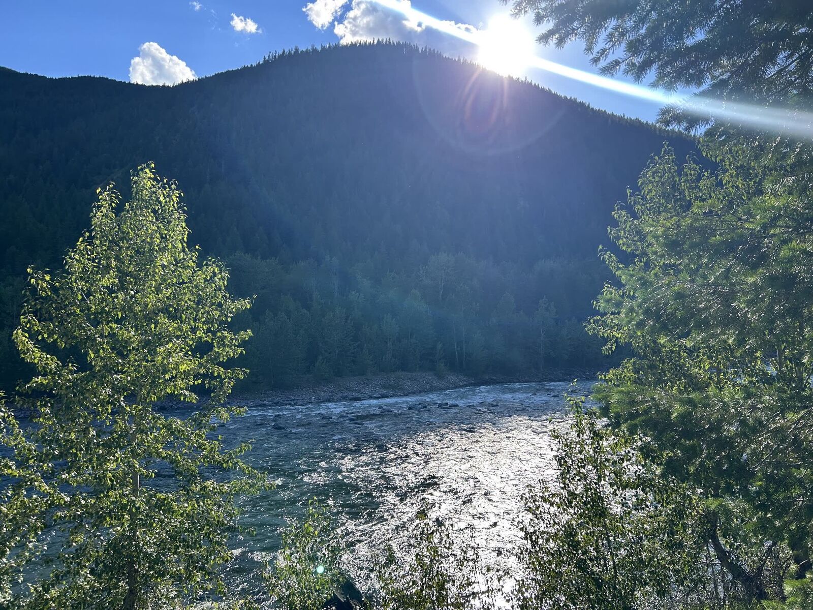
DREAM provides year-round outdoor adaptive recreation for people with disabilities, and commissioned this capture.
Read →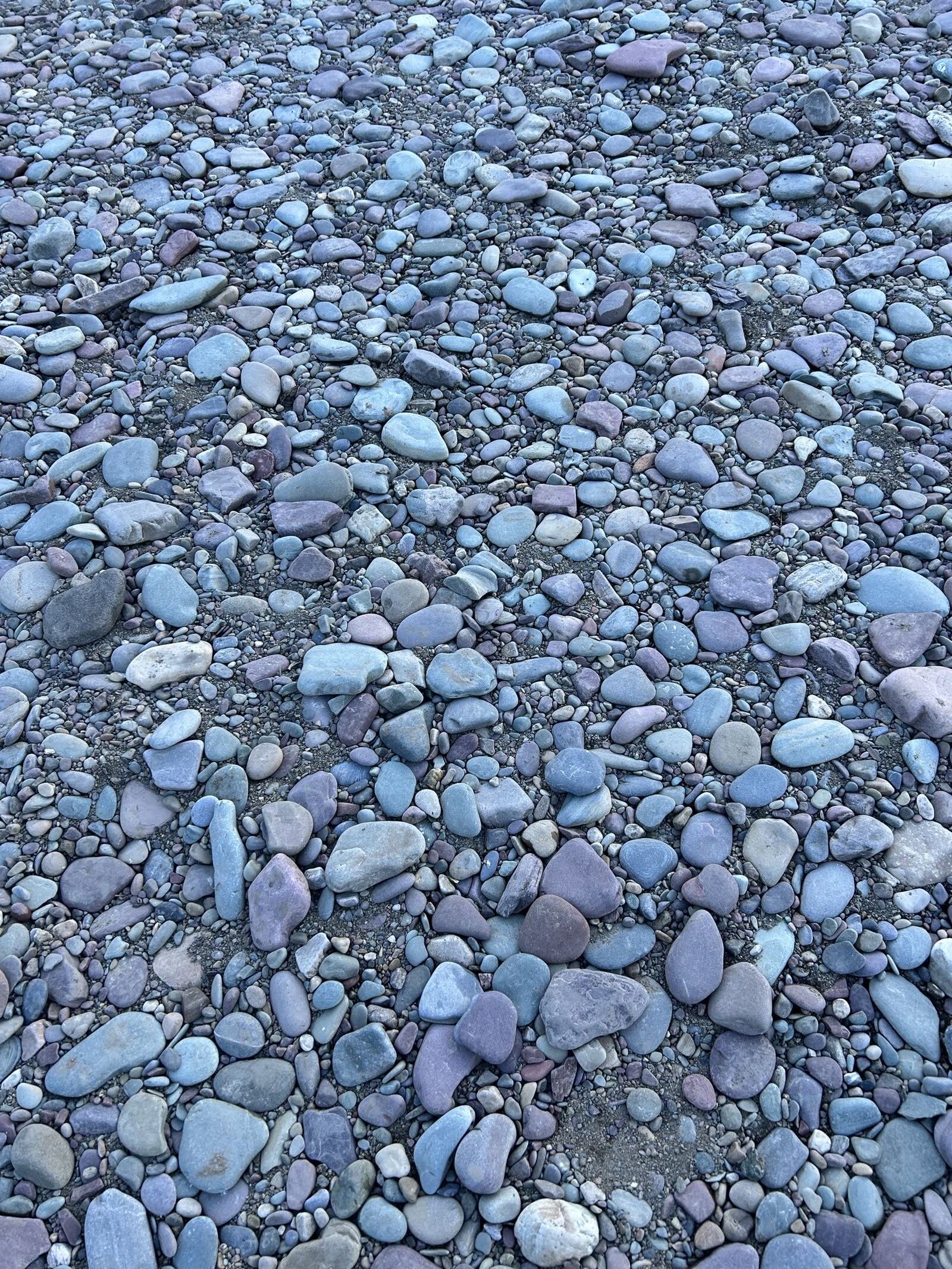
Every access site with its 360 imagery, measured survey data, audio descriptions, and live river flows.
Read →