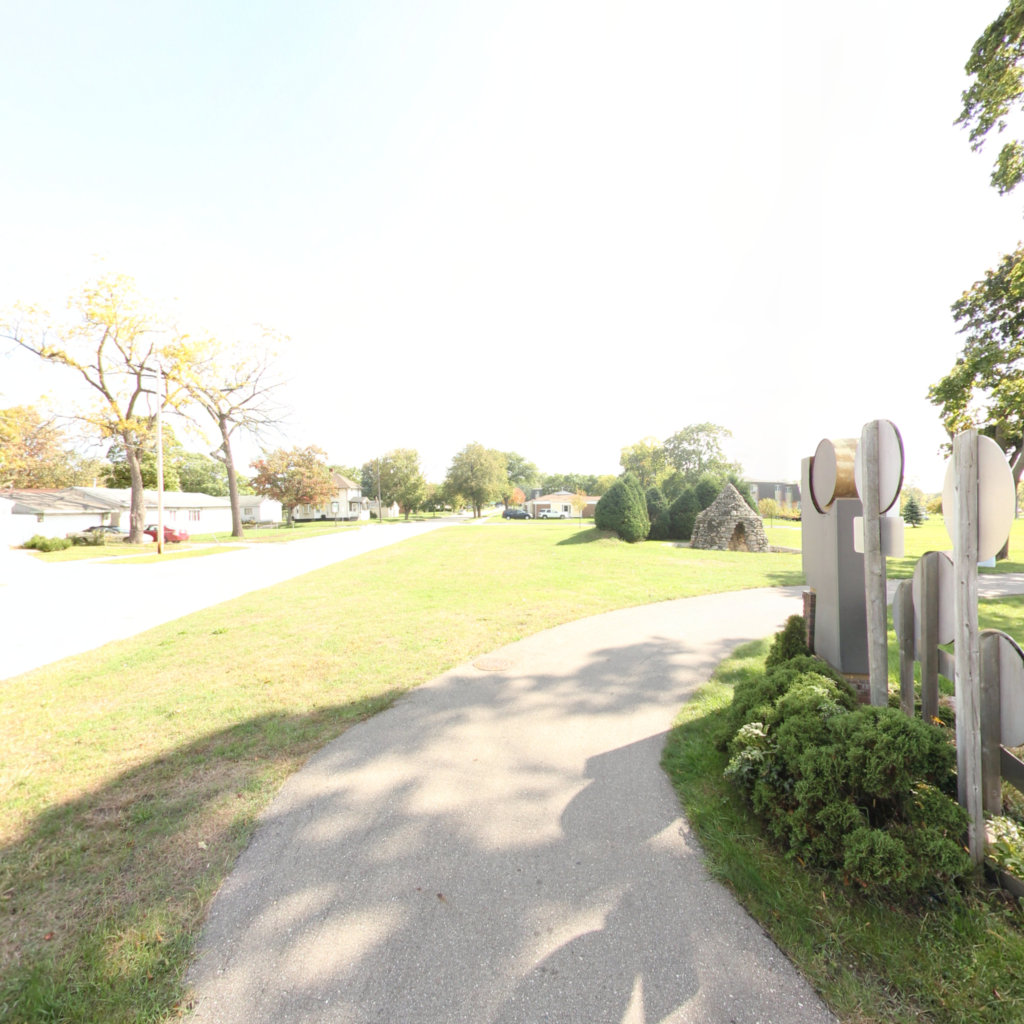
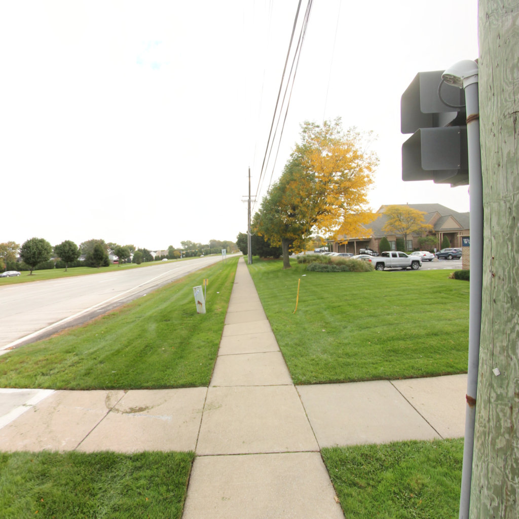
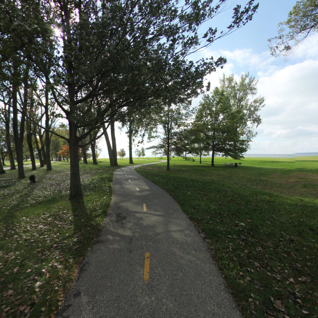
The Metro Parkway Trail—also known as the Freedom Trail—parallels the busy Metropolitan Parkway (16 Mile Road) through urban Macomb County. You'll find many street crossings throughout a mix of business and residential development; most are at-grade and have traffic signals.The trail is comfortably wide, running between Harrison Township's Metro Beach Metropark and Schoenherr Road. You can continue north on a paved trail along Schoenherr to Utica Road and into Sterling Heights, where the trail links to the Clinton River Park Trail.At the east end, the Metro Parkway Trail connects to the Clinton River Spillway Bike Path near Interstate 94. In Metro Beach Metropark, you'll find scenic views of Lake St. Clair and additional trails along the lake.
Explore the map
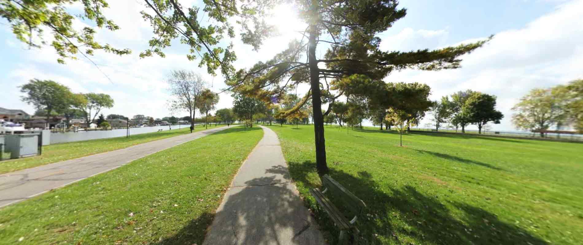
Click anywhere on the line to drop into that spot in 360°.
 Southeast Michigan Trails