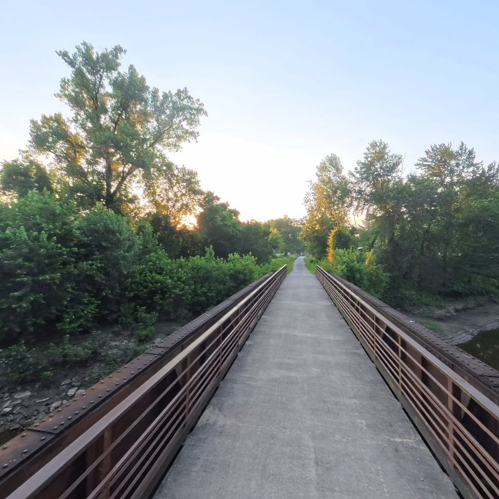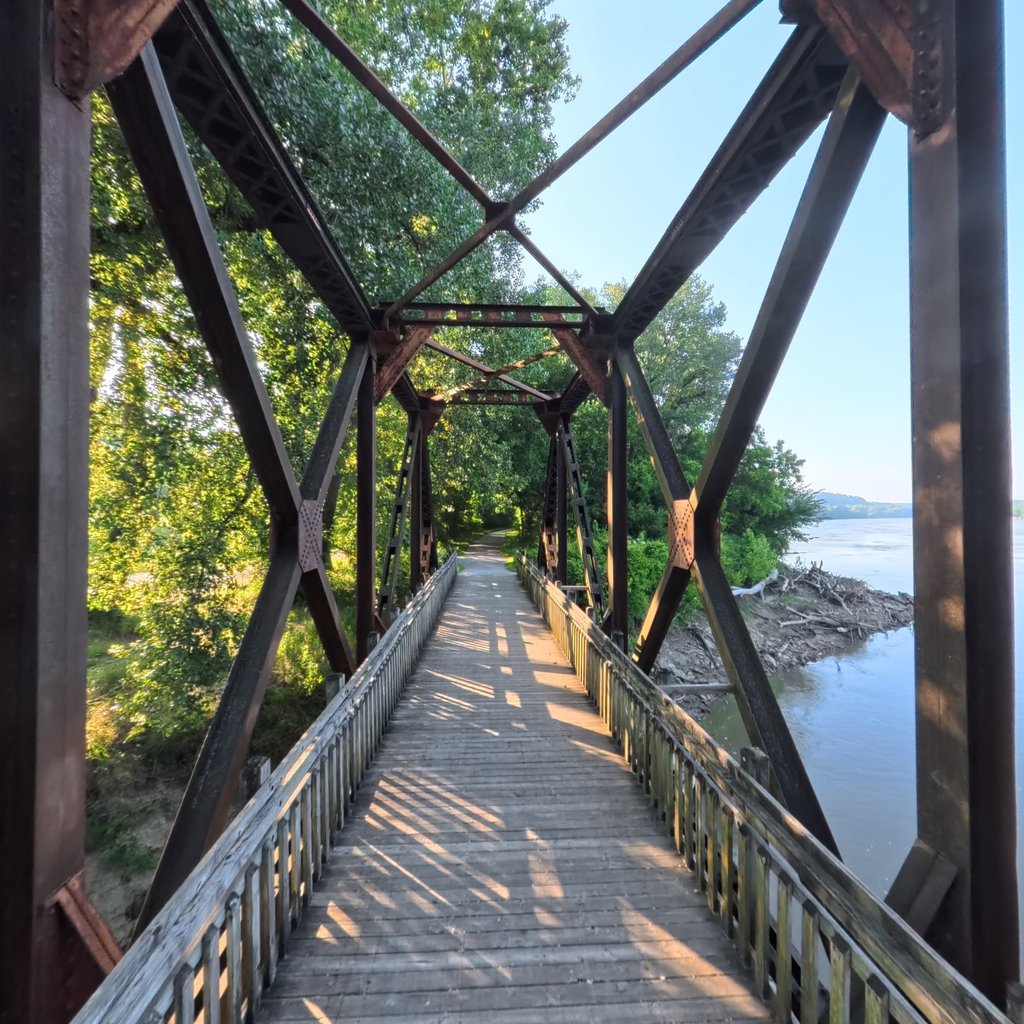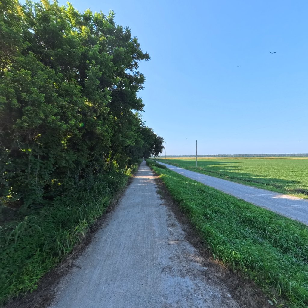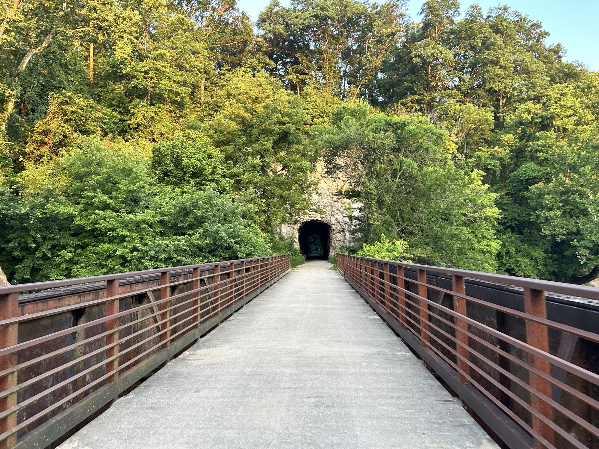
America's longest rail-trail in street-level 360: 36 miles from Rocheport to Jefferson City, with the rest of the 240 to come.
The Katy Trail is America's longest developed rail-trail: 240 miles of crushed limestone running nearly the width of Missouri on the corridor of the old Missouri-Kansas-Texas Railroad, the line everyone just called the Katy. This collection is the first section captured in 360 degrees: 36 miles between Rocheport and Jefferson City, photographed scene by scene from a bicycle in early July 2026.
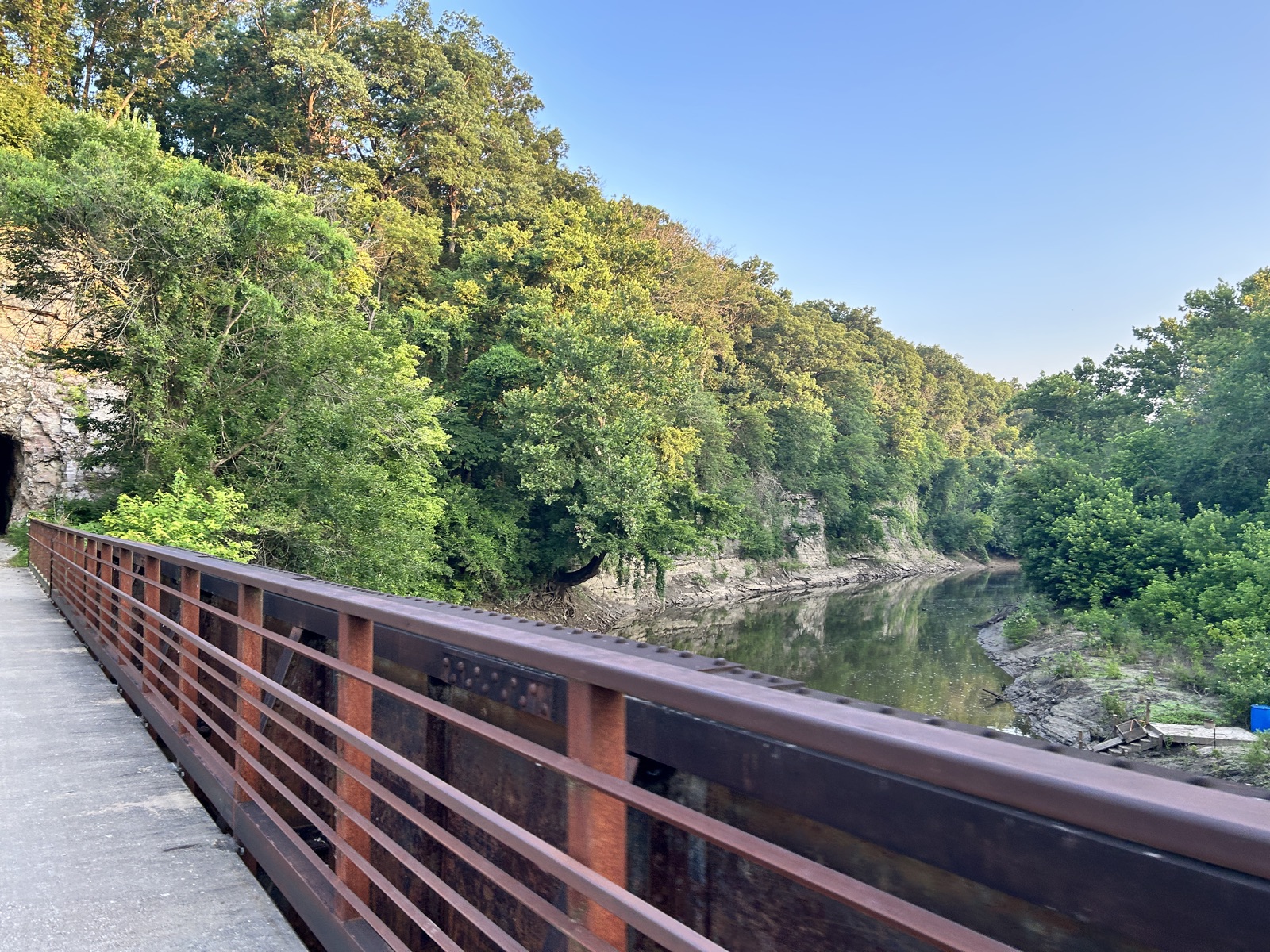
It may be the prettiest stretch of the whole trail. Out of Rocheport the path crosses Moniteau Creek and slips through the 1893 Rocheport tunnel, the only tunnel on the line, then runs beneath towering limestone bluffs with the Missouri River close at your shoulder. Along the way you pass the Perche Creek trestle, river overlooks at Huntsdale and Easley, Cooper's Landing, and the wide soybean bottoms around Hartsburg before the trail reaches North Jefferson, across the river from the state capitol.
This is also Lewis and Clark country. The expedition worked its way up this reach of the Missouri in June 1804, and Clark recorded the pictographs on the bluffs at the mouth of Moniteau Creek. Today the Katy is an official segment of the Lewis and Clark National Historic Trail. Terrain360 has already captured the Missouri River itself, so you can travel this valley both ways: by land on the trail scenes here, and by water on the river collections.
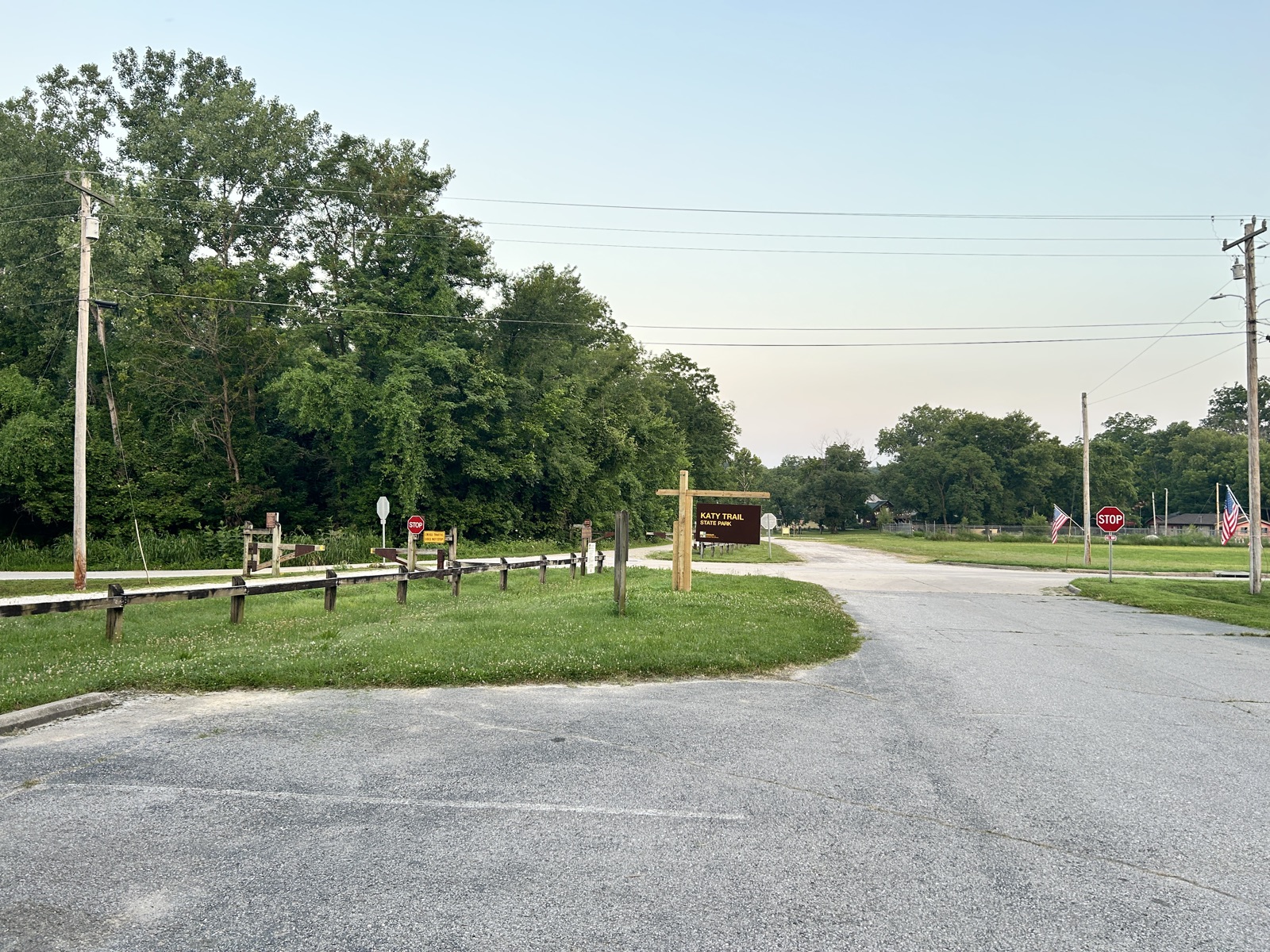
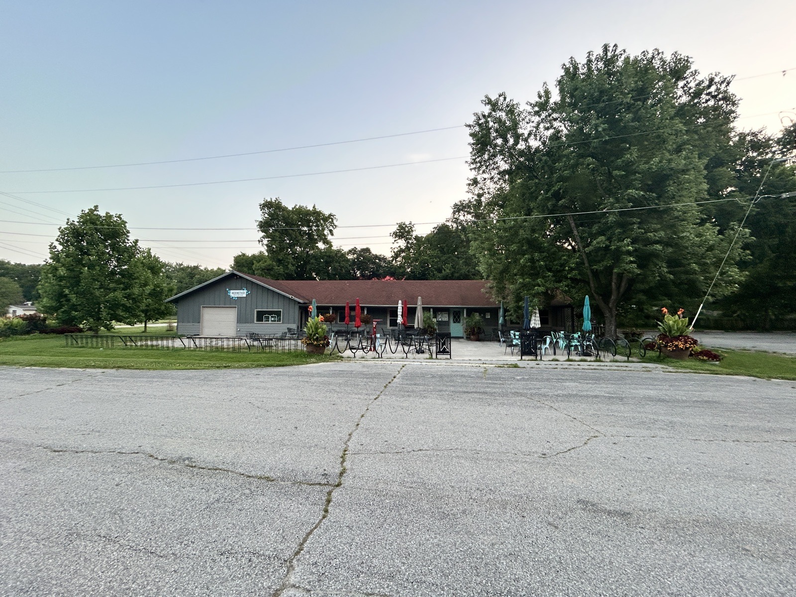
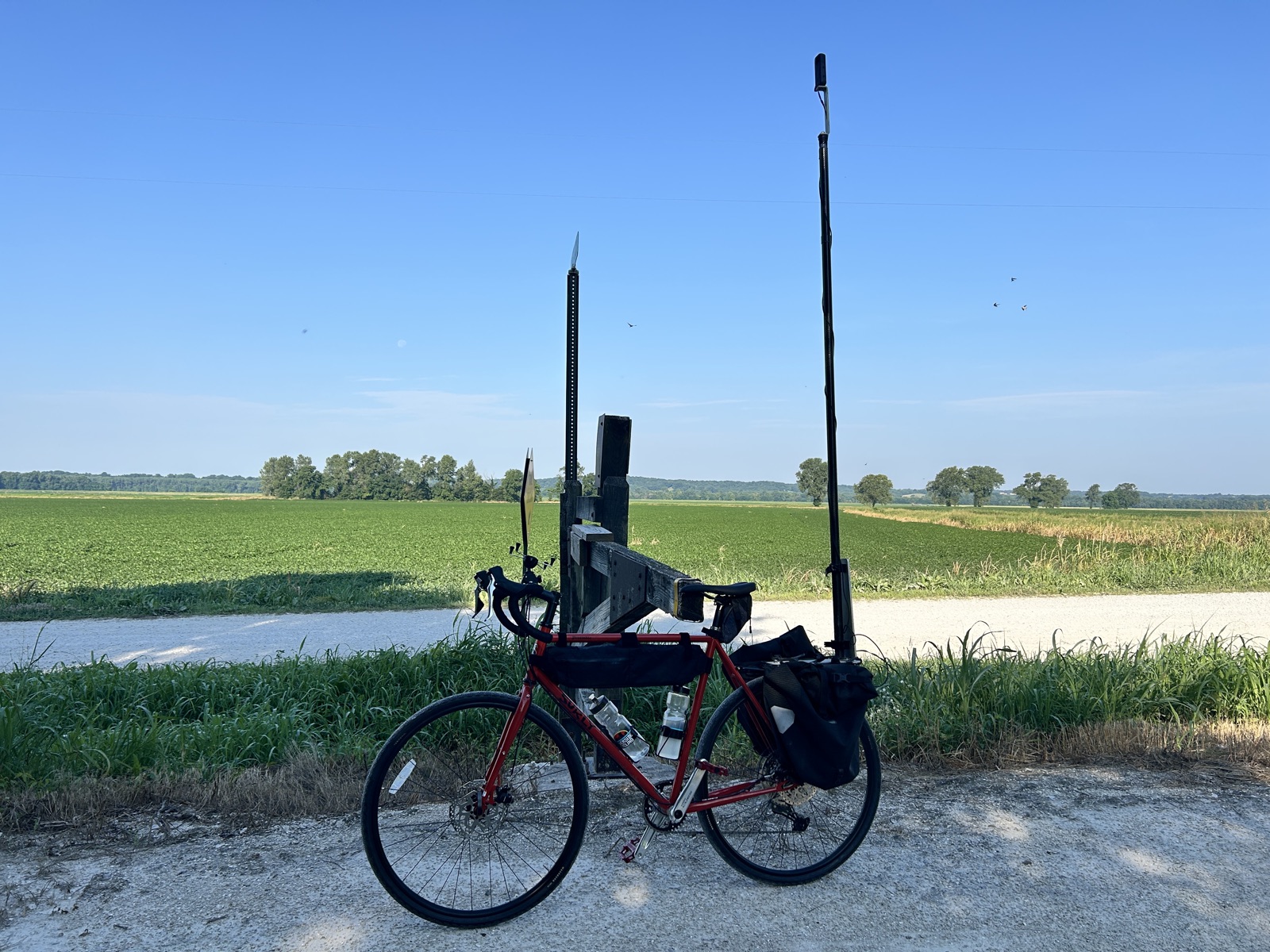

From the capture ride: the Rocheport trailhead, Meriwether Cafe and Bike Shop, the river bottoms near Hartsburg, and the crushed limestone that makes the Katy ride the way it does.
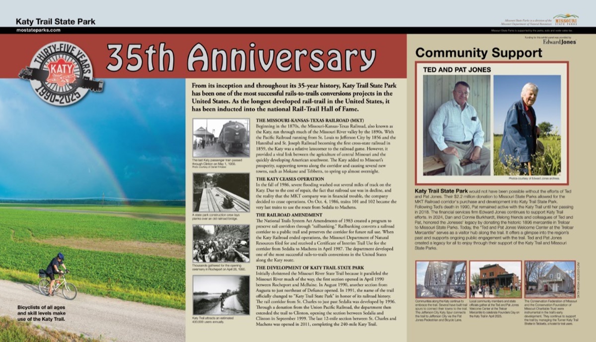
The interpretive panels riders find at the trailheads are now part of the 360 experience. Stand at the Rocheport or North Jefferson trailhead in the viewer and the 35th Anniversary panel is right there to tap: the artwork, the story, and a link to the full panel, transcribed and readable on any phone at Bike the Katy. More panels join as Missouri State Parks provides them.
Why we're capturing the Katy, and how the full 240-mile corridor gets finished. The demonstration project page at the Lewis and Clark Trust.
Read →
The official Katy Trail State Park page from Missouri State Parks: trailheads, mileage chart, services, and current trail conditions.
Read →
A new wayside exhibit from Bike the Katy marking 35 years of Katy Trail State Park, from the last MKT train to the national Rail-Trail Hall of Fame.
Read →