Map collection
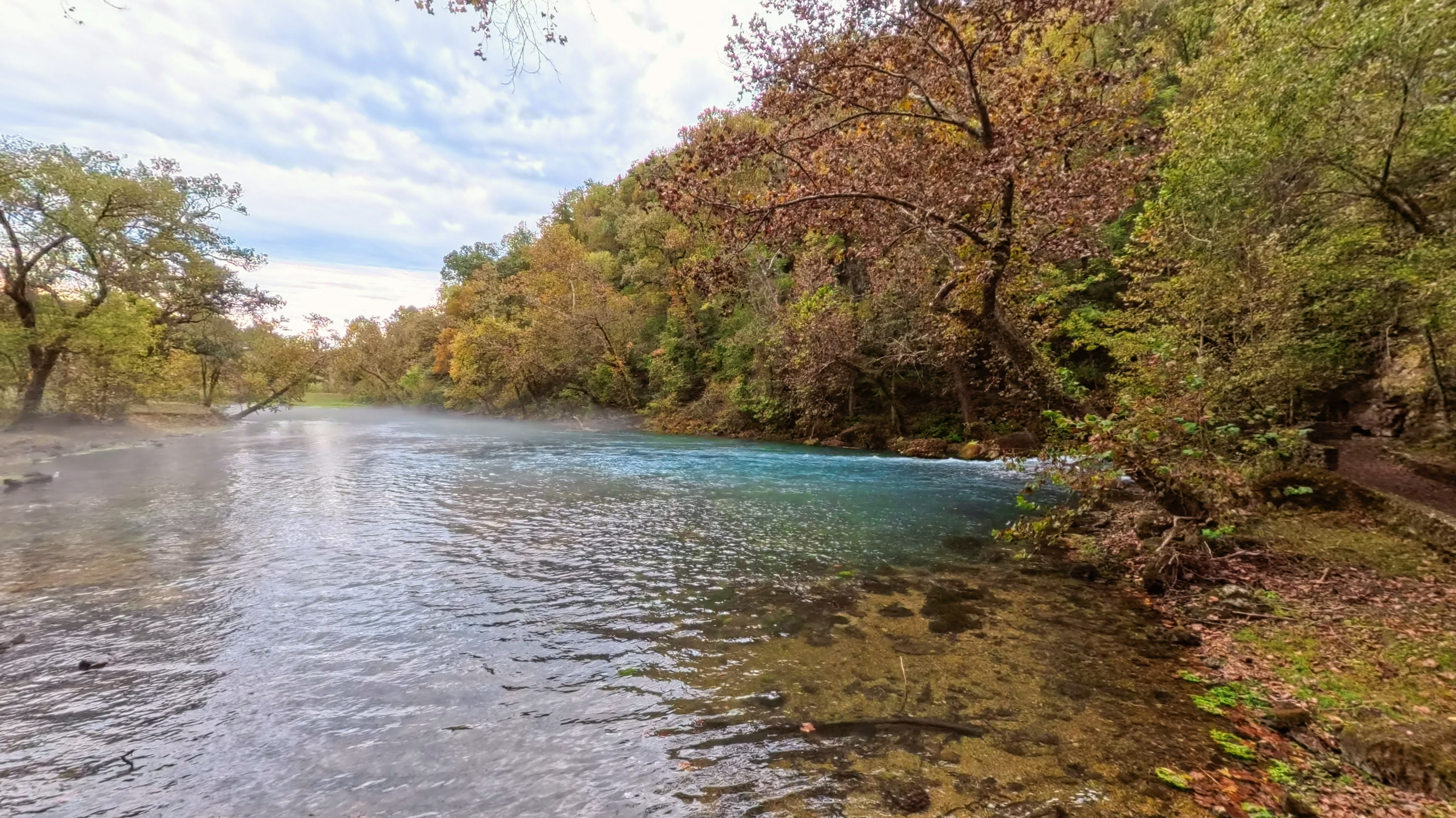
· Big Spring on the Current River, Missouri
Ozark National Scenic Riverways
Big Spring
4
segments
8.2
miles
About this collection
Ozark National Scenic Riverways
Ozark National Scenic Riverways protects the Current and Jacks Fork rivers in southern Missouri. This map starts at Big Spring: the Current River access there, the trail from Big Spring to Chubb Hollow, and the Stone Ridge and Spring Valley trails, all at ground level.
Explore the map
Click anywhere on the line to drop into that spot in 360°.