Map collection
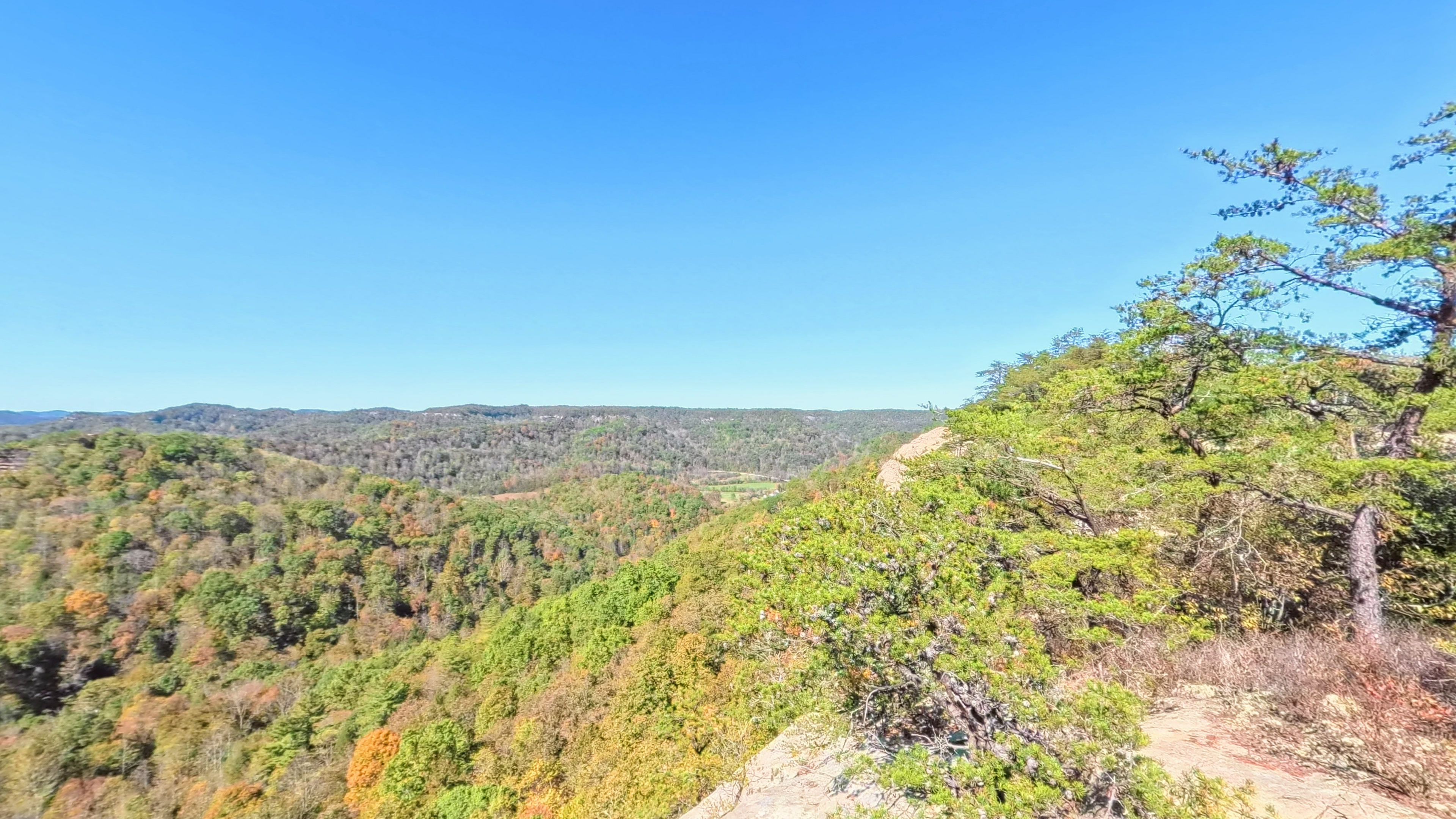
· Auxier Ridge and Double Arch, Daniel Boone National Forest, Kentucky
Red River Gorge
Auxier Ridge to Double Arch
2
segments
5.8
miles
About this collection
Red River Gorge
The Red River Gorge Geological Area lies in the Daniel Boone National Forest in eastern Kentucky. This map walks the Auxier Ridge Trail along the ridgetop to Double Arch, and the Double Arch Trail back toward the Auxier Ridge trailhead, at ground level.
Explore the map
Click anywhere on the line to drop into that spot in 360°.