Contact
Elizabeth River
Map collection

Elizabeth River

Restoration Of A Great Urban River

15
segments
97.7
miles
Project partner
About this collection

Elizabeth River

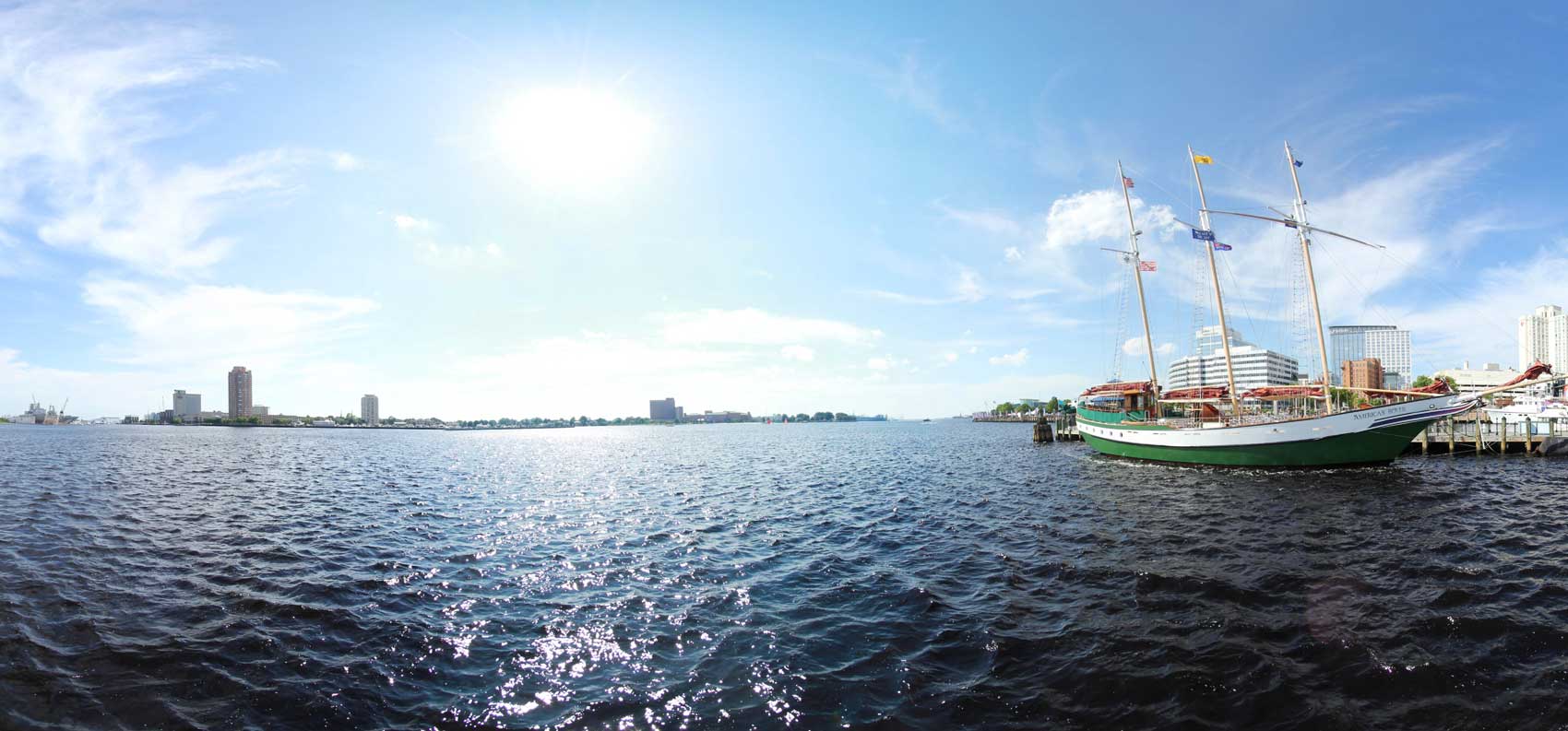
The Elizabeth River is a 250 square mile watershed which includes the Cities of Norfolk, Chesapeake, Portsmouth, and Virginia Beach in Southeastern Virginia.  The only natural freshwater source to the river is from the Great Dismal Swamp which has a significant Black Bear population.  The river is the home of the largest Naval Base and coal export facility in the United States.  This urban river was once thought to be dead but Elizabeth River Project (elizabethriverproject.org) and the community has been working diligently to bring back this great historical river.  The river now has some of the greatest numbers of restored oyster reefs and wetlands in the lower Chesapeake Bay.  These restoration efforts have resulted in drastic improvement in habitat and water quality over the last 20 years and offers great fishing and boating.  We hope you will explore this great river and see all the amazing wildlife and habitats it offers. 

Explore the map

Click anywhere on the line to drop into that spot in 360°.
Interactive · live map

Segment index

15 segments · grouped by area
Browsing a large collection? The interactive map is the fastest way to find a specific spot.
Featured trail

Elizabeth River

In the news

News & updates

Recognition

For more Information

The Elizabeth River Project
Admirals Landing
475 Water Street, Suite C103A
Portsmouth, VA  23704Phone: 757-399-7487
Fax: 757-397-8377