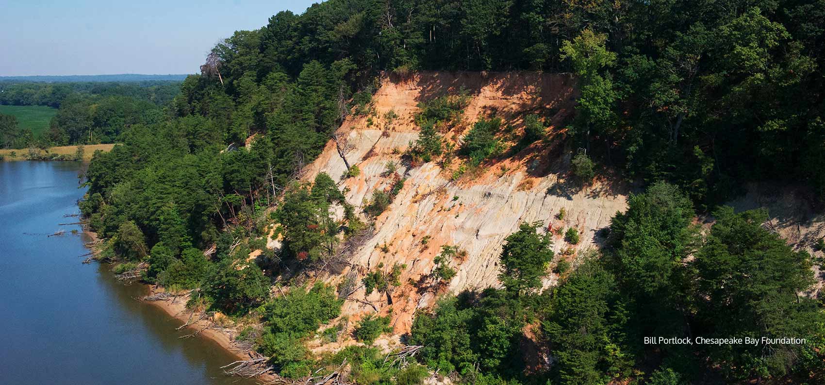
FONES CLIFFS is a four-mile cliff formation along the eastern side of the Rappahannock River, midway between the Route 301 bridge in Port Royal and the Route 360 bridge in Tappahannock. The cliffs contain diatomaceous earth and are visible from miles away due to their white color. This diatomaceous earth was formed millions of years ago, when all of this territory was underneath the sea. Sharks teeth and large sea scallops (the Virginia state fossil) can be found in these cliffs.Fones Cliffs has a prominent spot in the world of natural resources. The cliffs lie within an area designated by the Audubon Society as an Important Bird Area (IBA) with "global significance." While hundreds of native and migrating species contribute to this designation, the most visible is the bald eagle. The Fones Cliffs formation is nationally recognized as having one of the highest concentrations of bald eagles on the entire East Coast, and is highlighted in the National Geographic map "Treasured Landscapes of the Chesapeake Bay."
* Photo by: Bill Portlock
Explore the map
Click anywhere on the line to drop into that spot in 360°.