Map collection
· Michigan's statewide route, Belle Isle to Ironwood
Iron Belle Trail
Michigan end to end, Belle Isle to Ironwood
26
segments
71.6
miles
About this collection
Iron Belle Trail
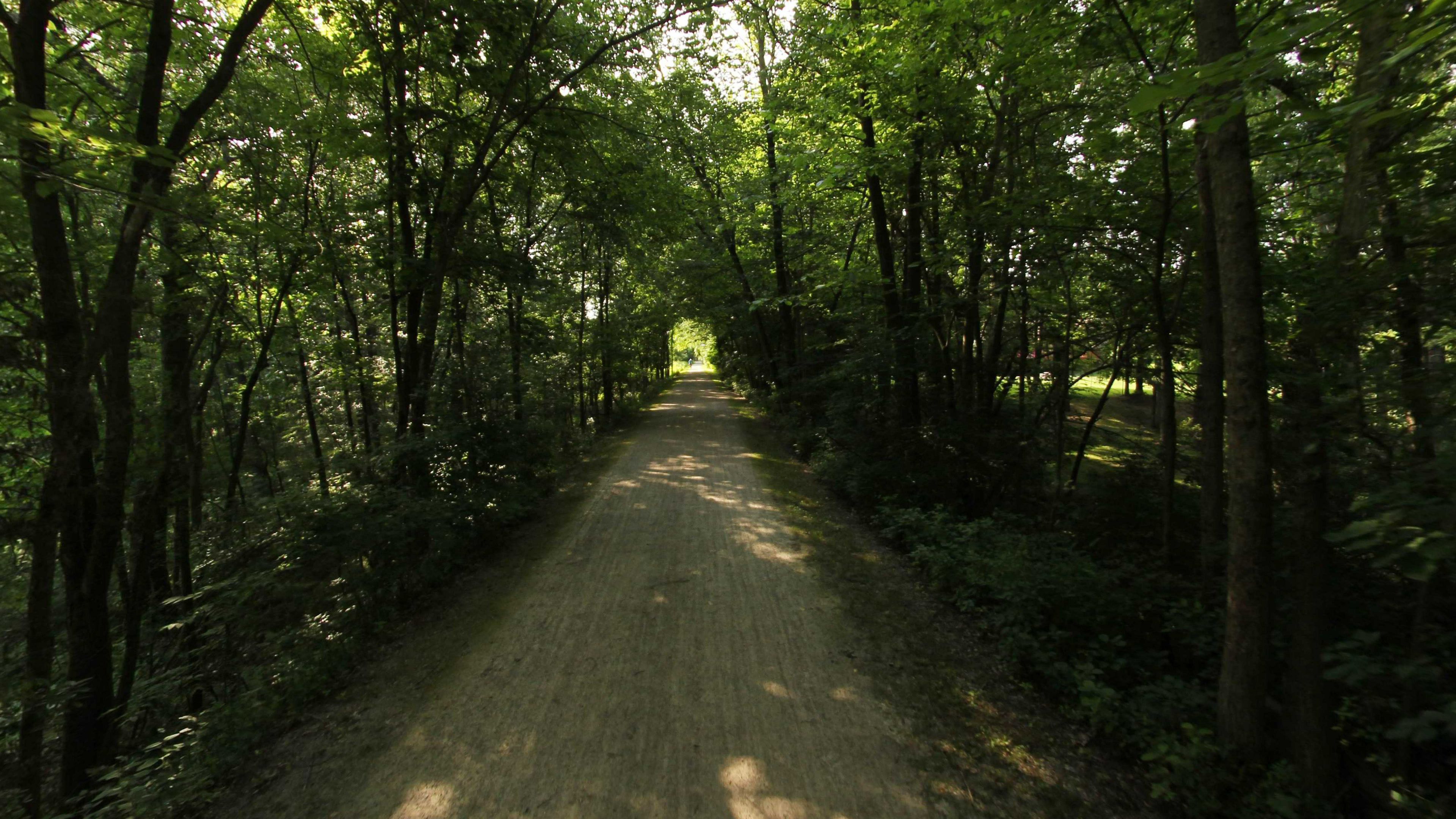
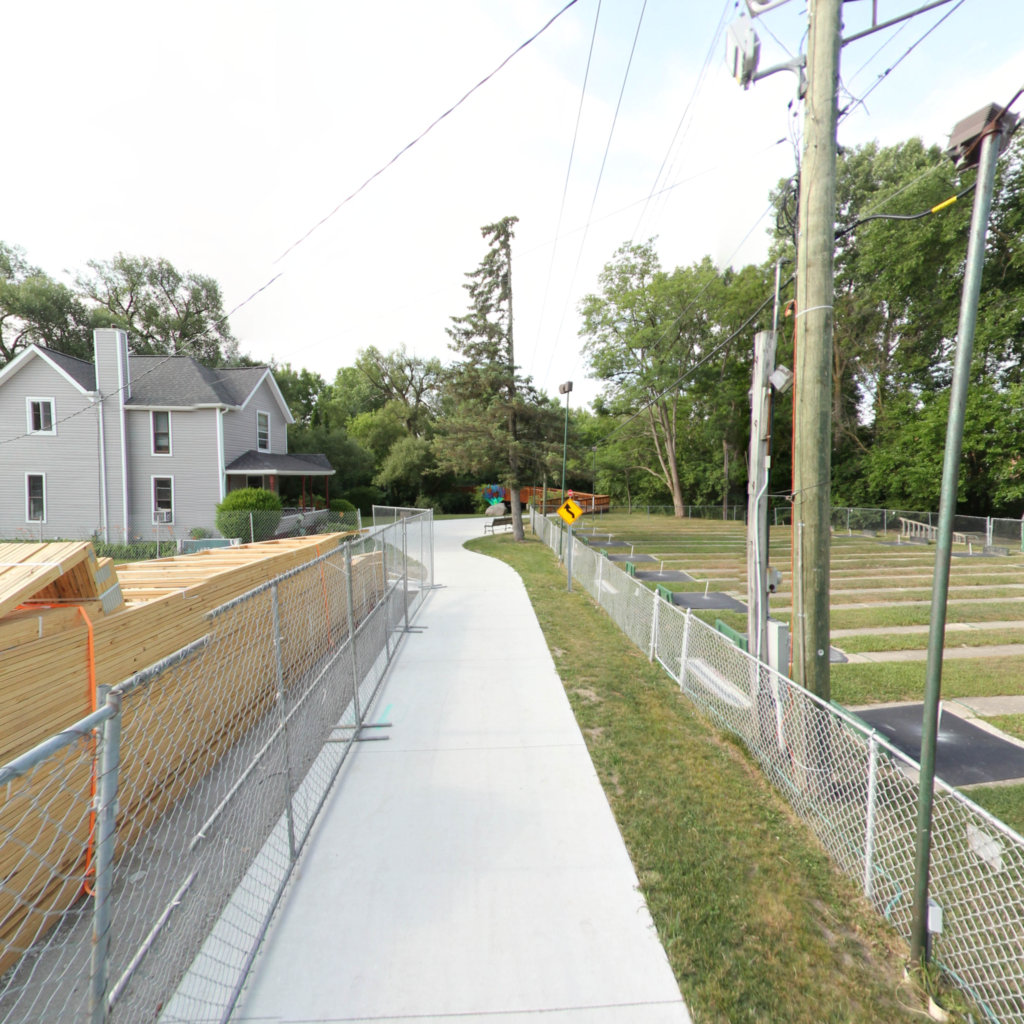
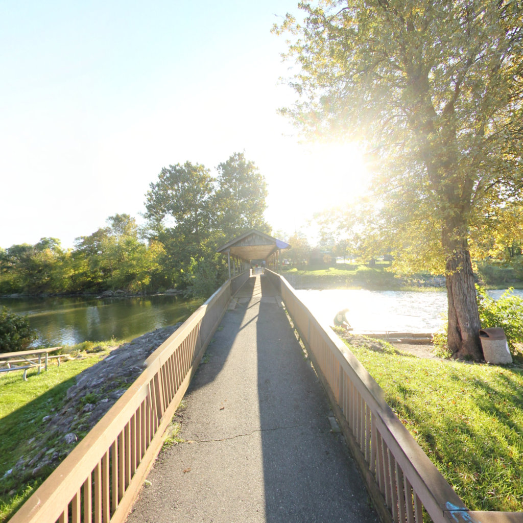
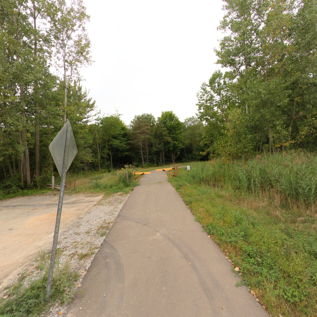
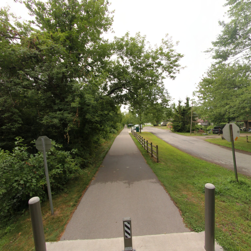
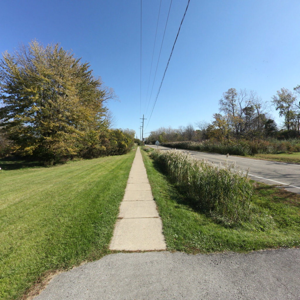
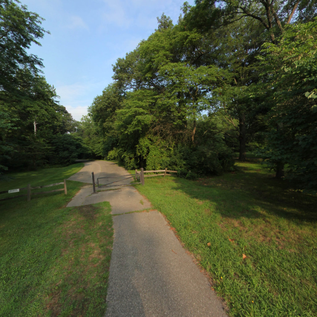
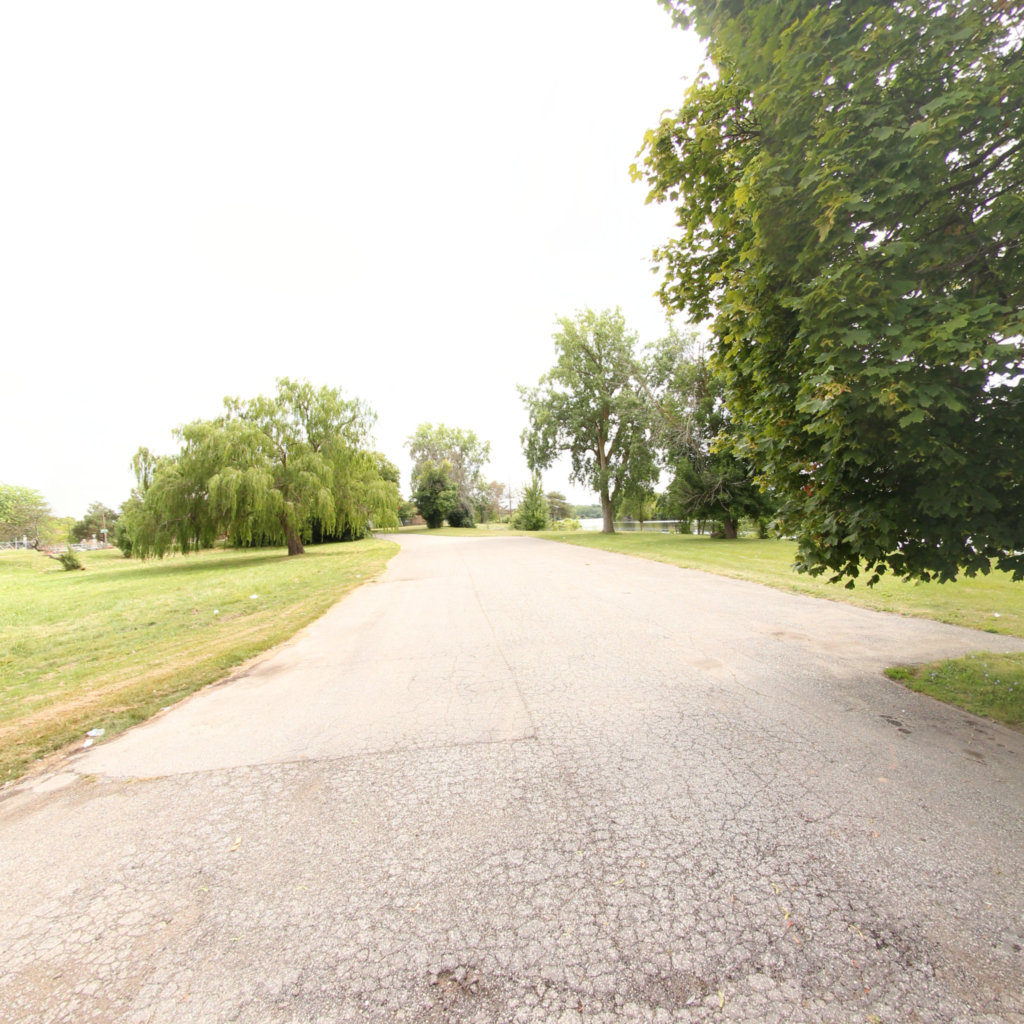
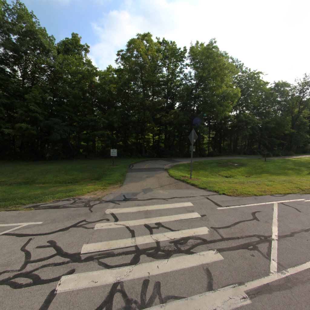
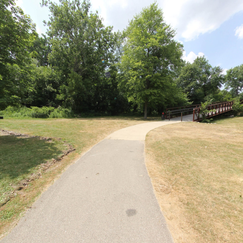
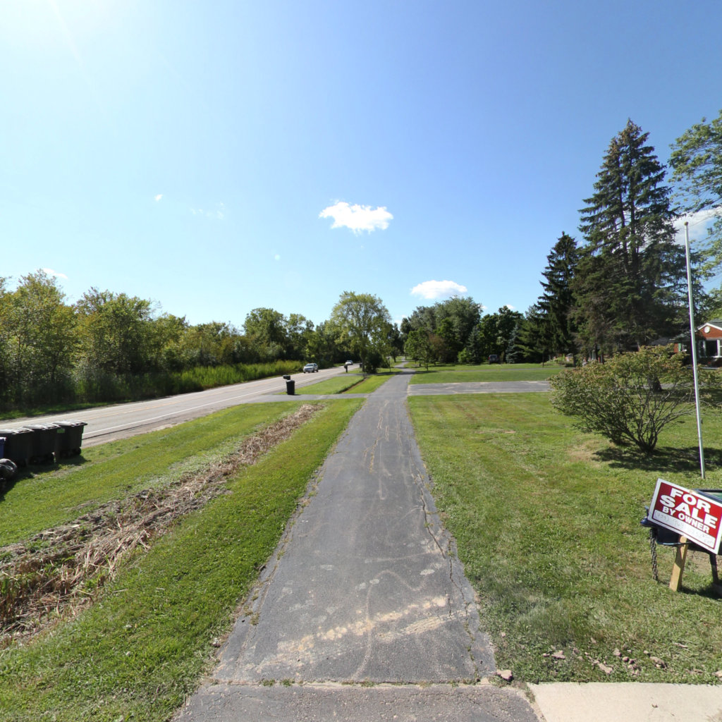
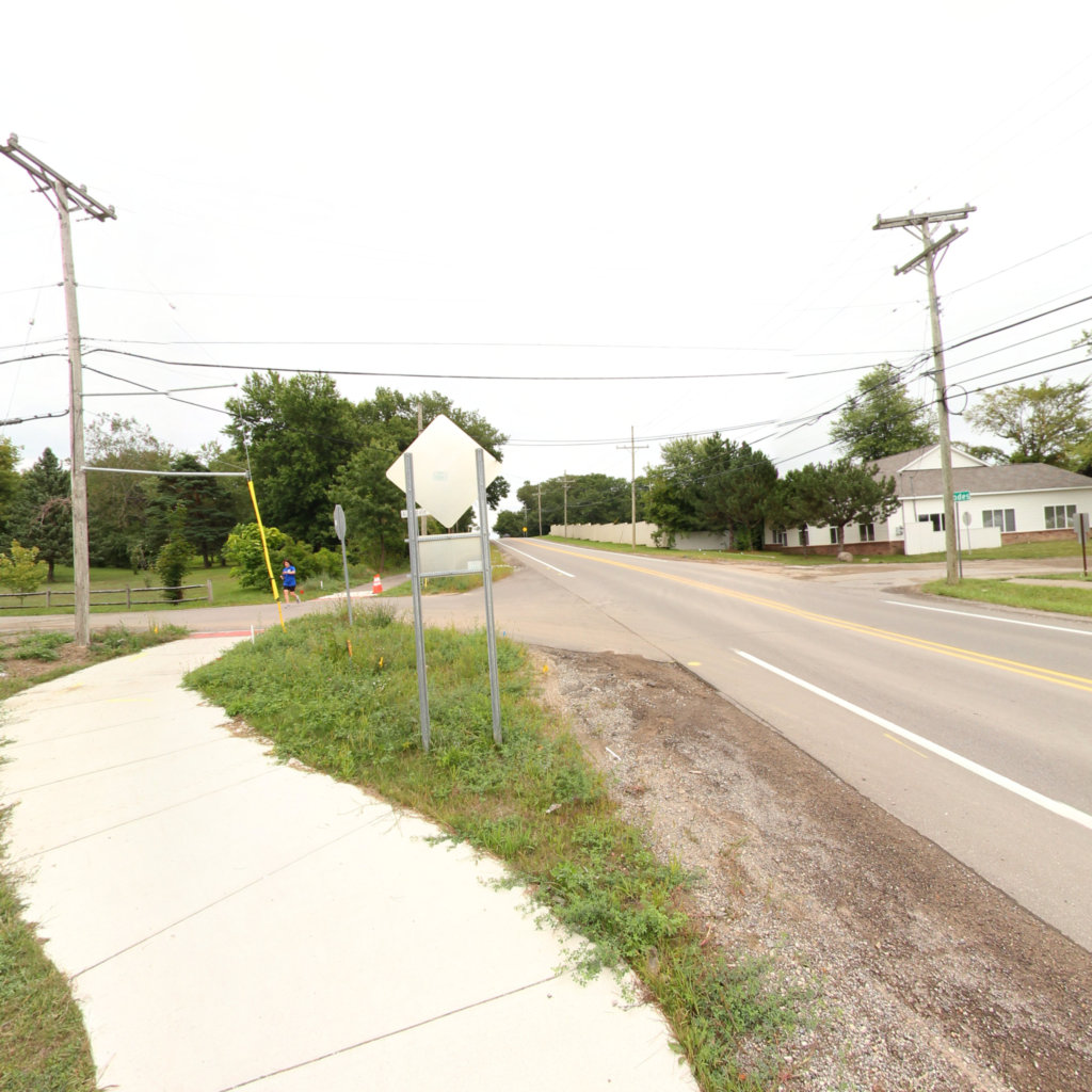
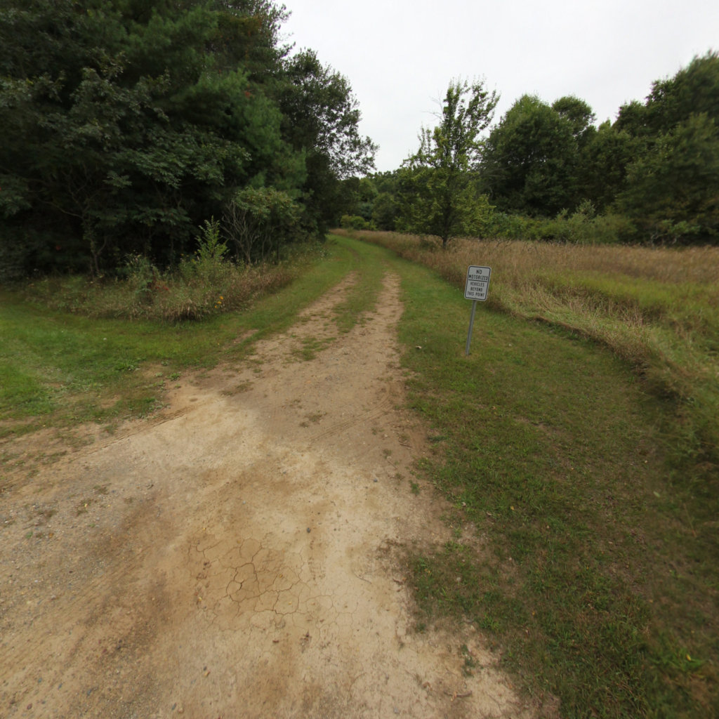
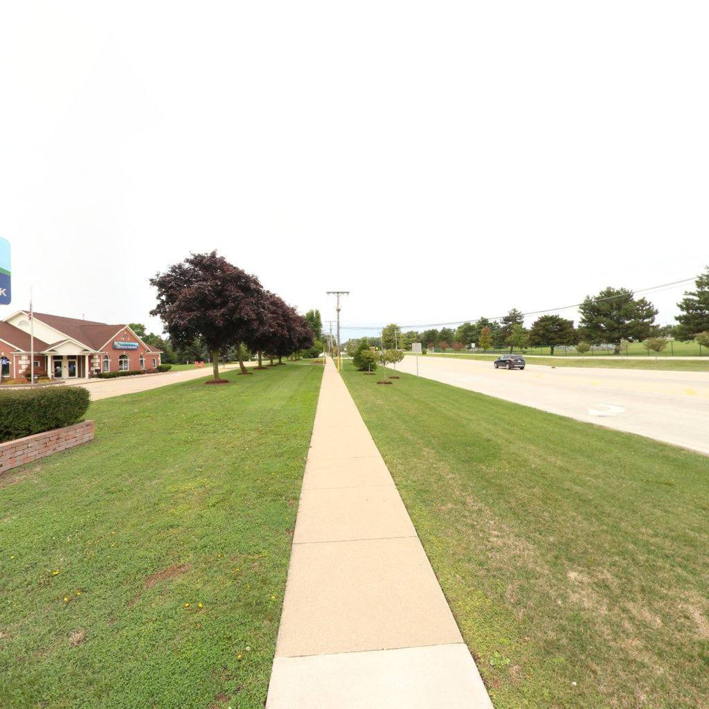
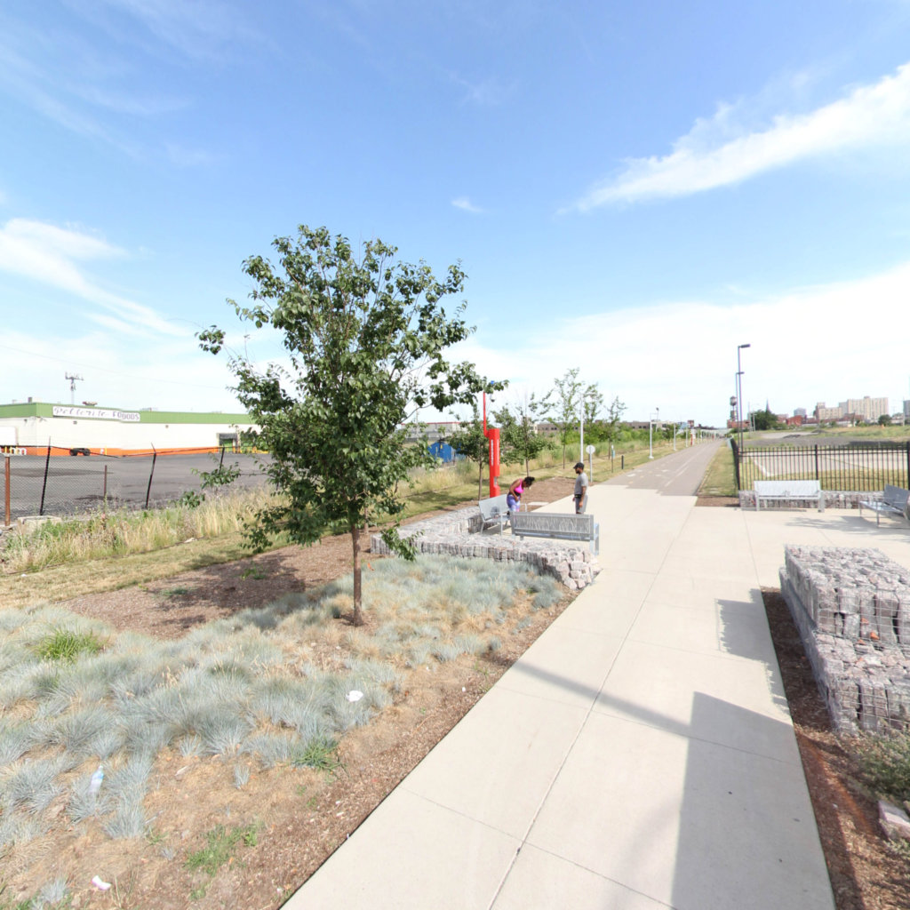
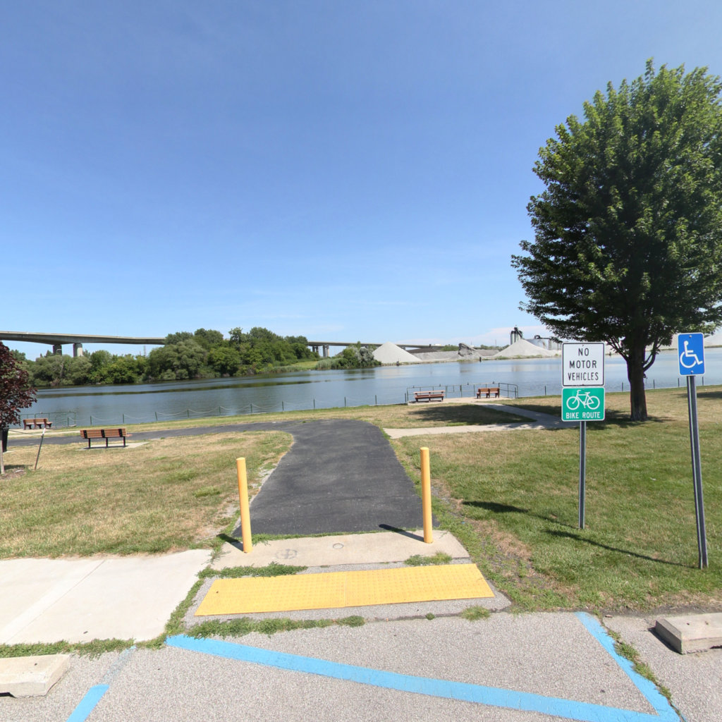
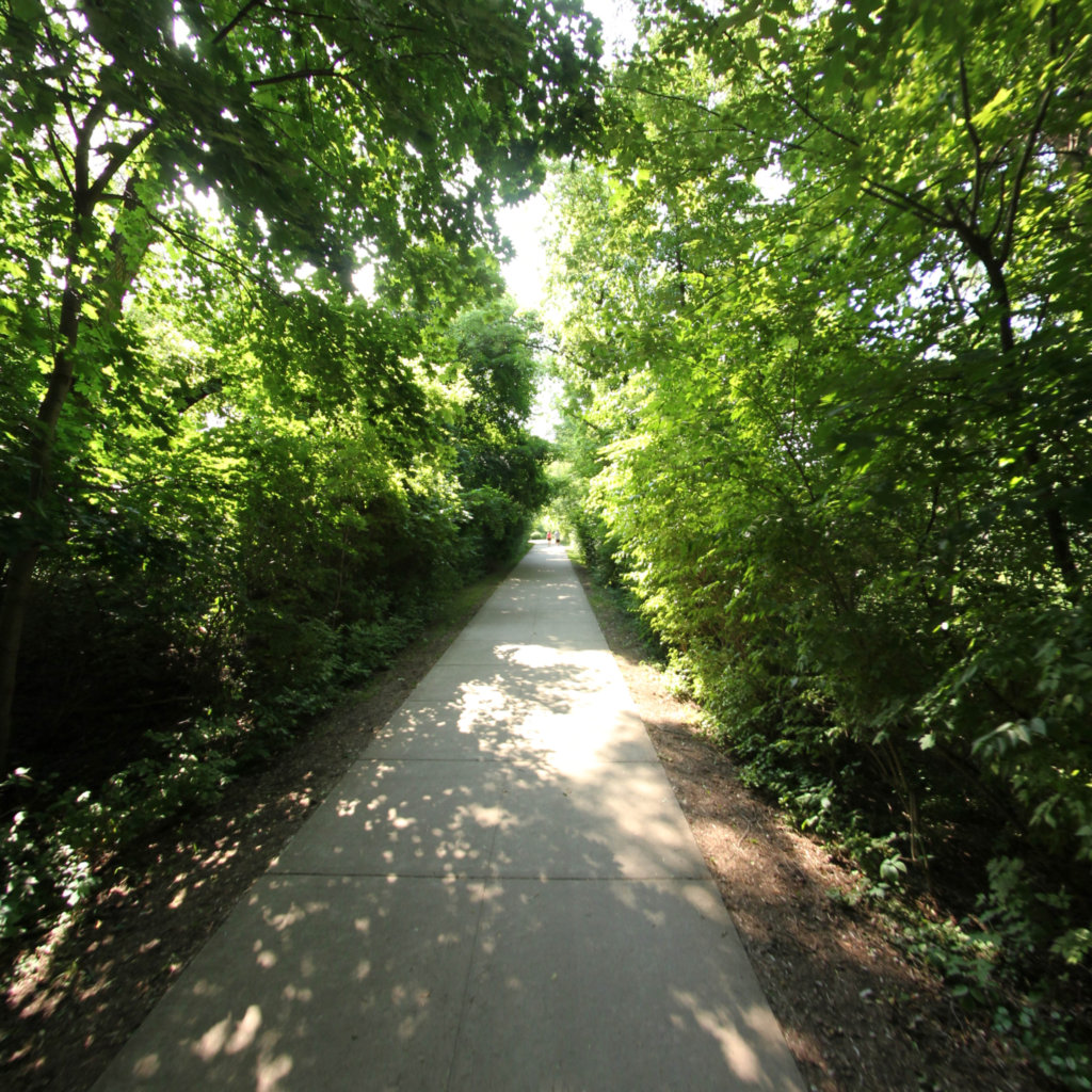
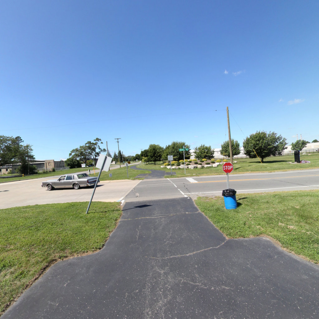
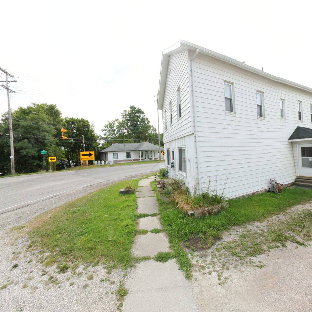
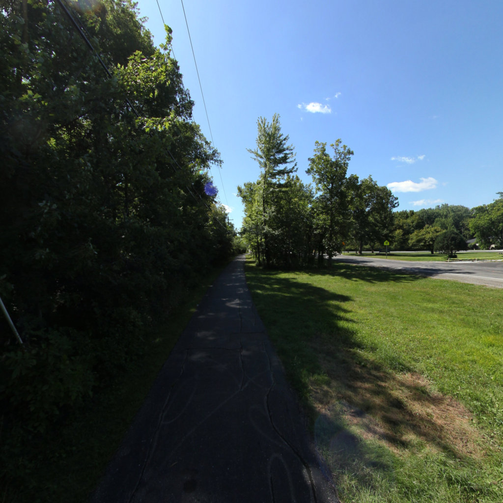
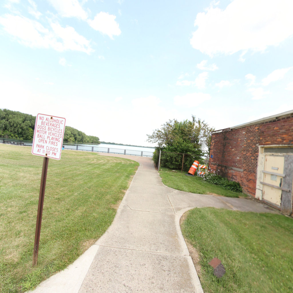
The Iron Belle is Michigan's statewide trail — a hiking route and a cycling route running from Belle Isle in Detroit to Ironwood in the western Upper Peninsula. This map collects the segments Terrain360 has recorded along the cycling route, from the Paint Creek and Clinton River corridors out through Flint and the Huron valley.
Explore the map
Click anywhere on the line to drop into that spot in 360°.