Contact
Port Tobacco River
Map collection · A Maryland Historical Treasure

Port Tobacco River

A Historical Treasure

14
segments
17.2
miles
Project partners
Partner logo Charles County Parks
About this collection

Port Tobacco River

Physical characteristicsRiver mouthPotomac River
0 feet (0 m)
Length4.2 miles (6.8 km)
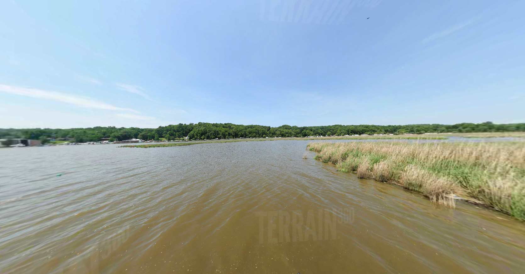
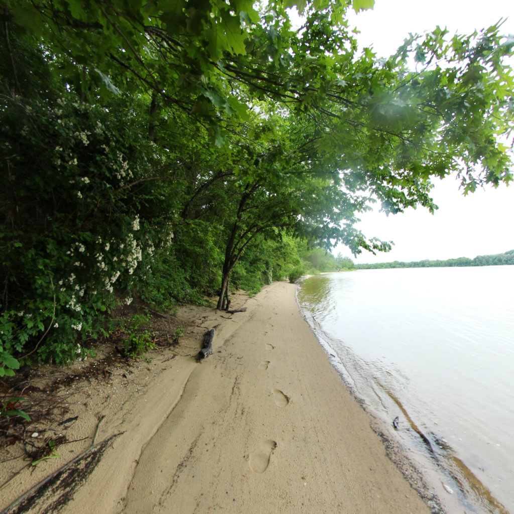
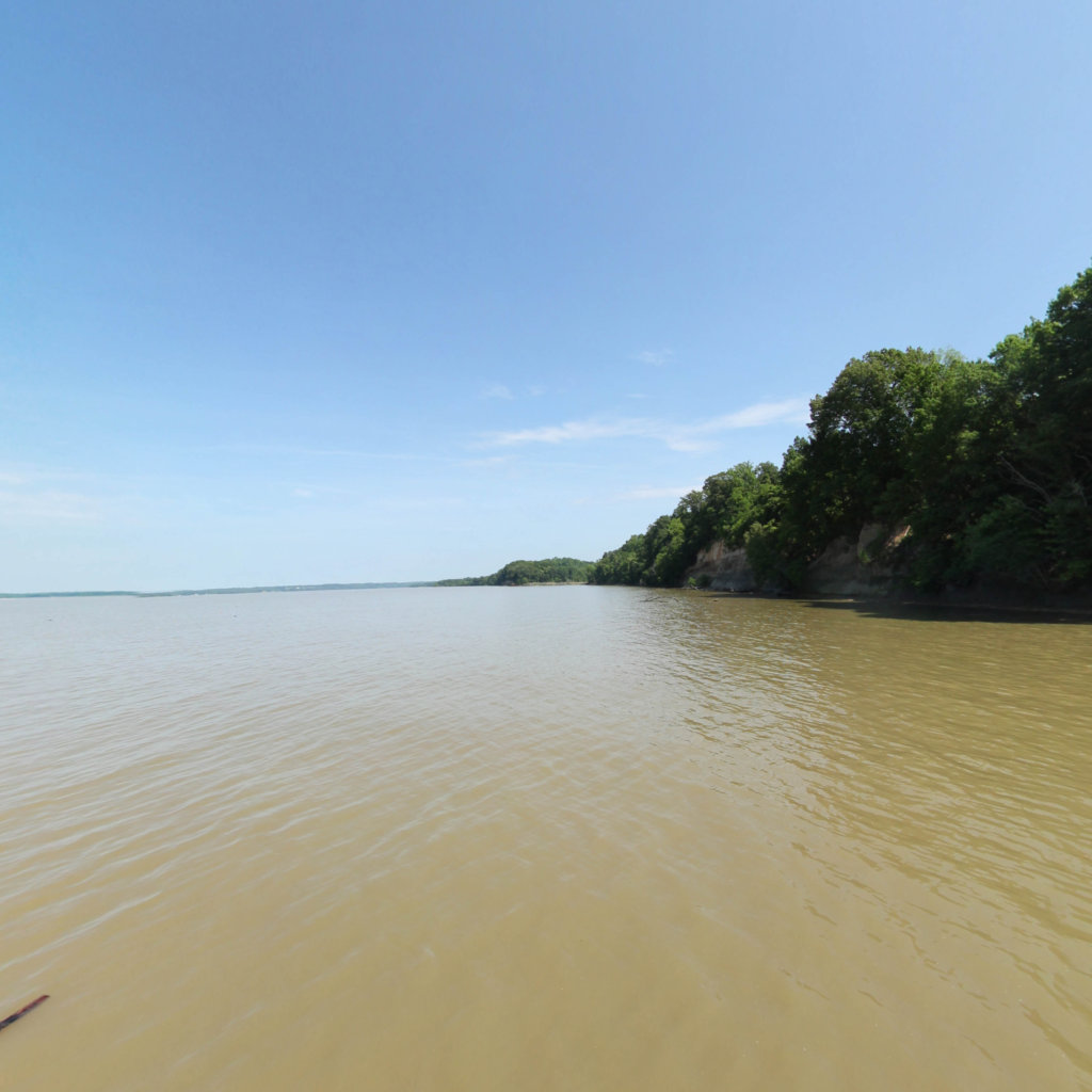
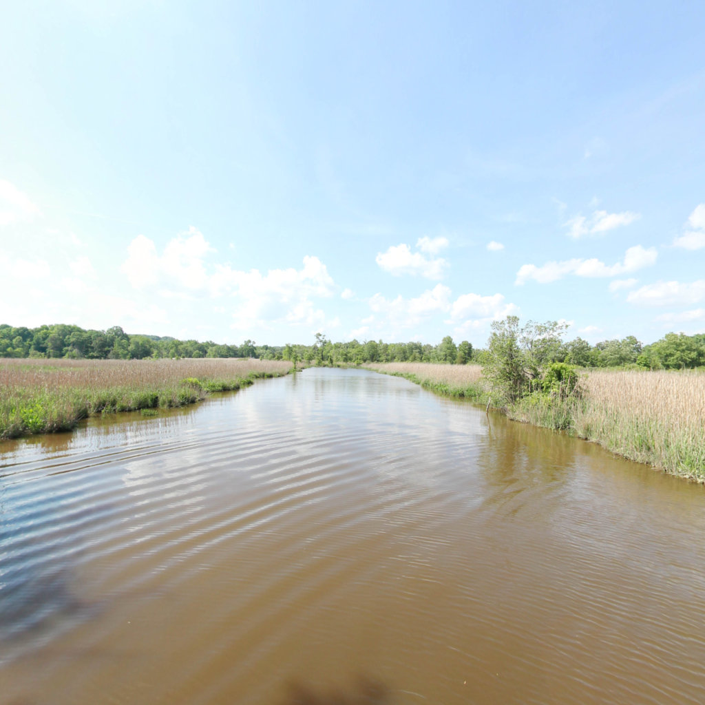
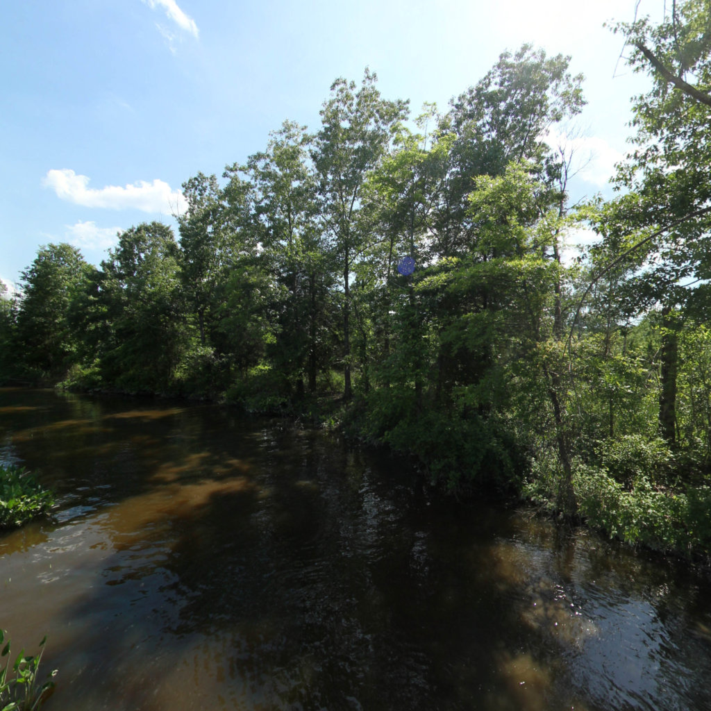
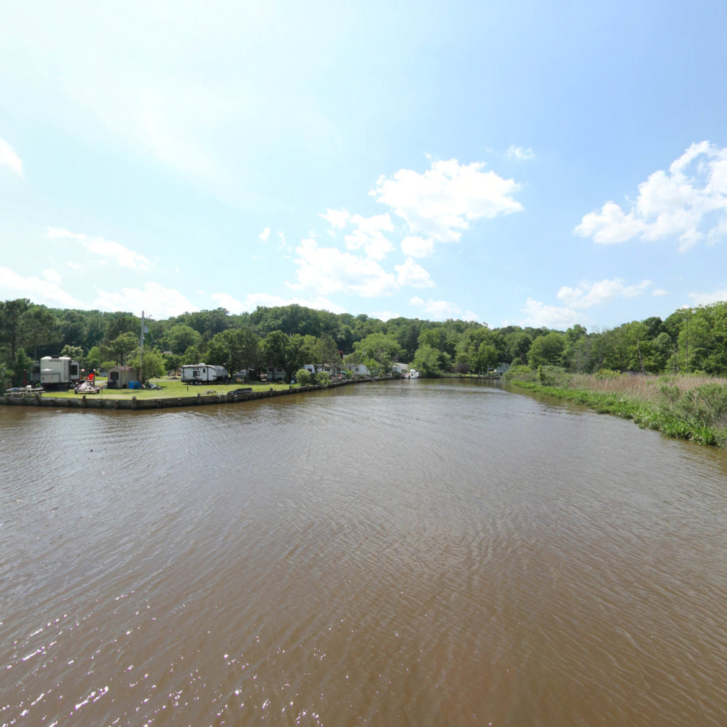
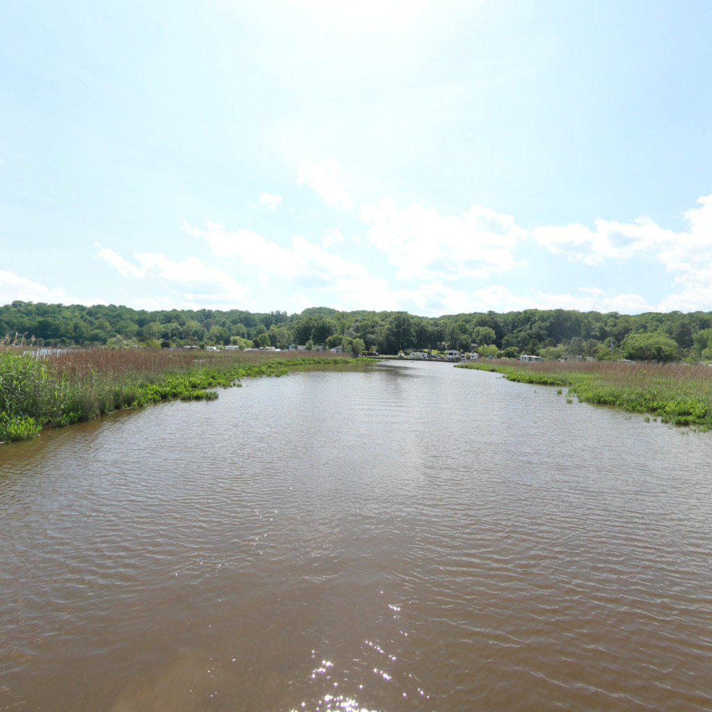
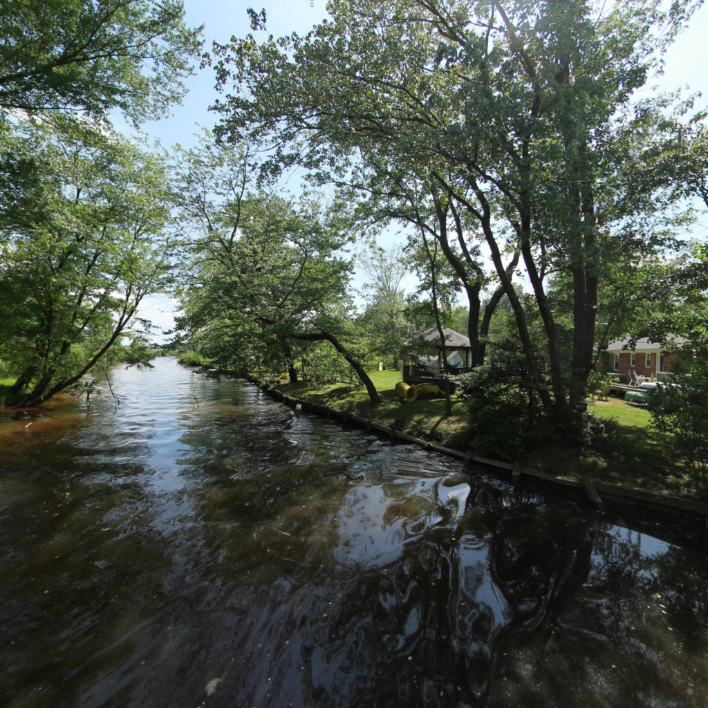
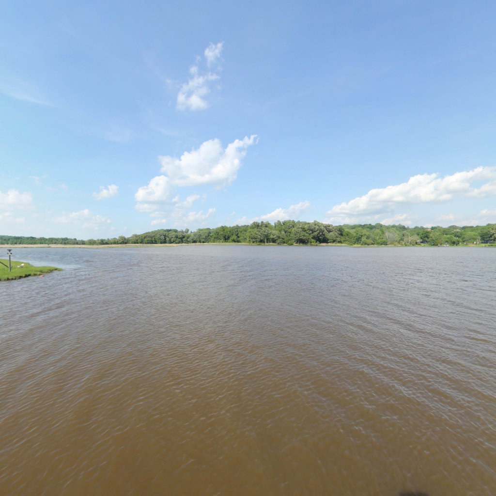
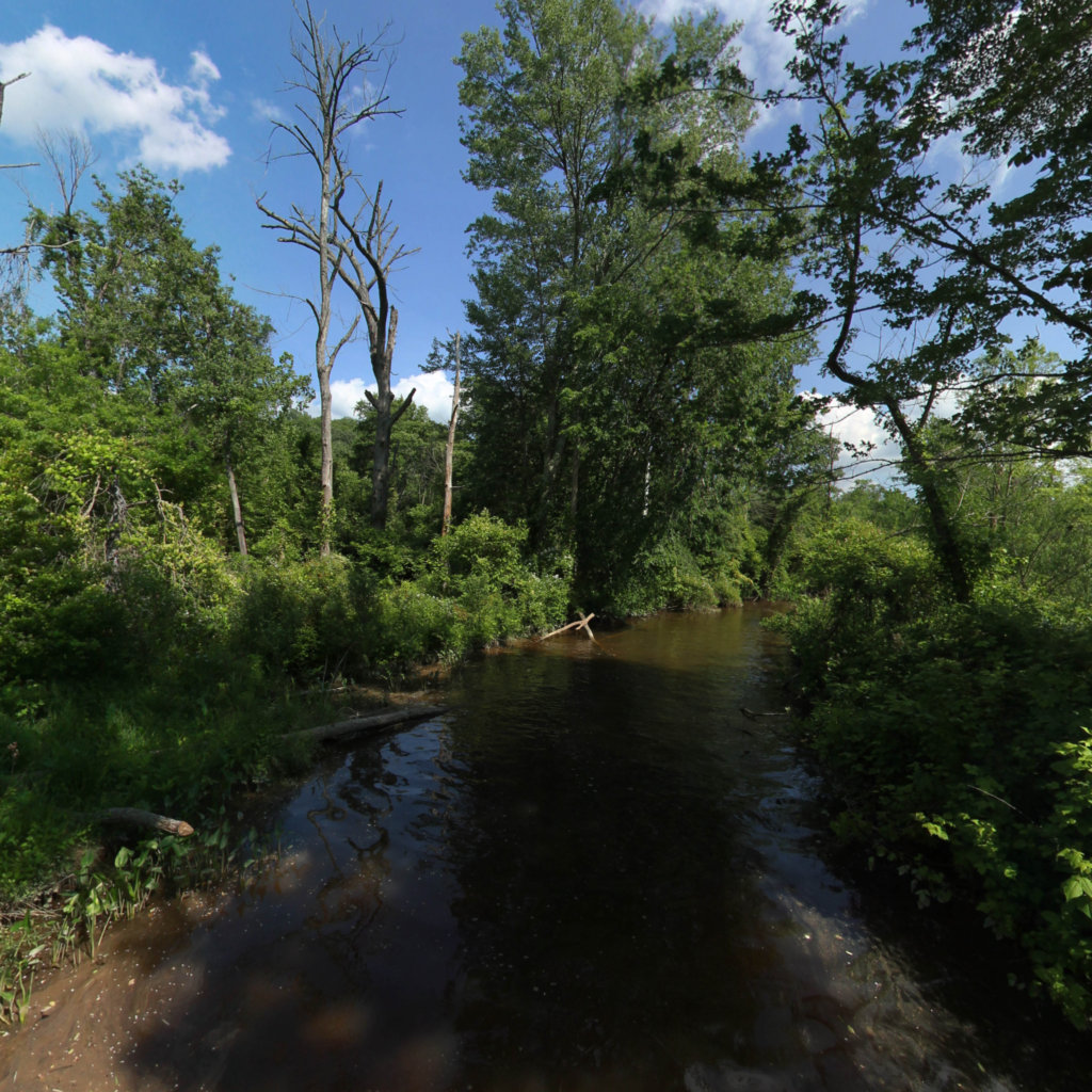
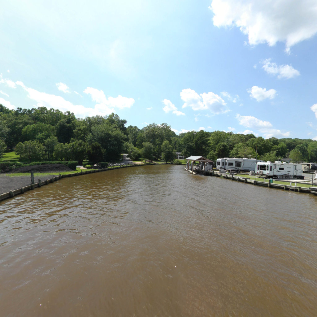
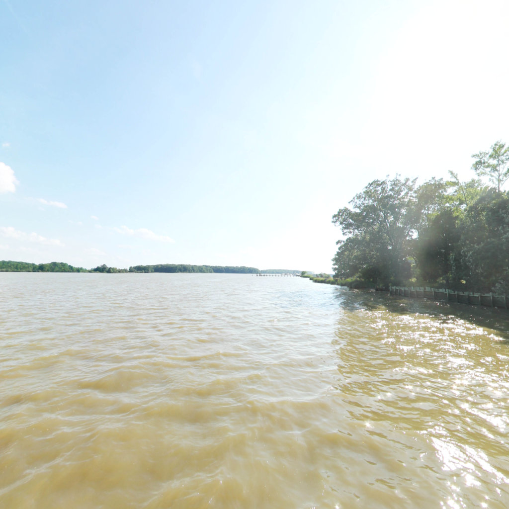
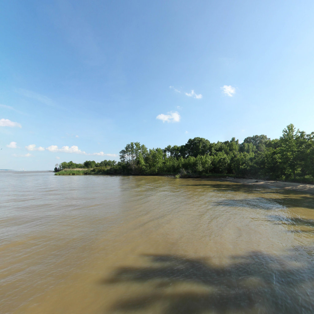
The Port Tobacco River is a tidal tributary of the Potomac River located in Charles CountyMaryland in the United States. The river is approximately 4.2 miles (6.8 km) in length. Port Tobacco, the county seat of Charles County from 1658 to 1895, was an active port until that portion of the river became silted and unnavigable. When the railroad bypassed the town, business declined, and the county seat was moved to La Plata, Maryland.

Explore the map

Click any line to drop into 360° street view.
Interactive · live map

Segment index

14 segments · grouped by area
Browsing a large collection? The interactive map is the fastest way to find a specific spot.
Featured trail

Port Tobacco River

In the news

News & updates

Recognition

Local Press Contact

Charles County Parks & Rec
John Snow
SnowJN@charlescountymd.gov

Nearby collections & trails

More places to explore