A showcase of the publicly accessible experiences we've captured.
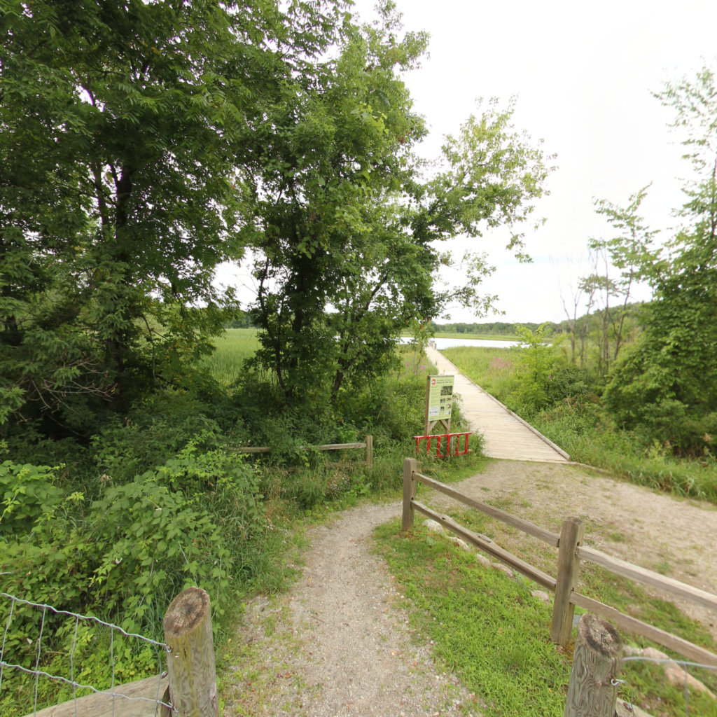
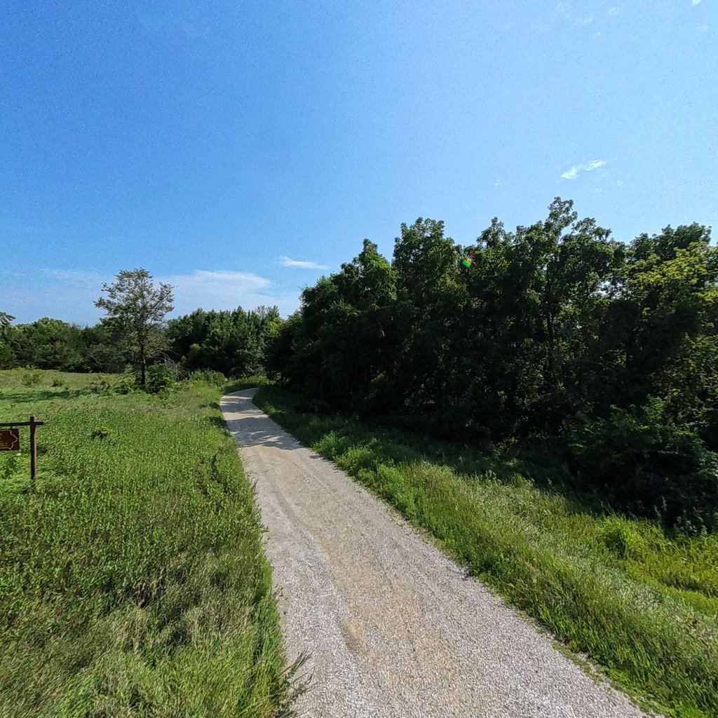
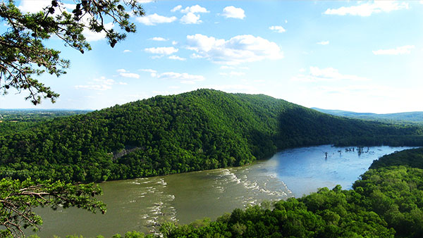
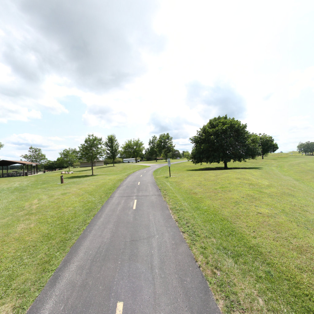
Explore our curated collection of outstanding maps and trails, each carefully selected to provide a unique and captivating experience. Alongside these, discover the unexpected with a series of randomly chosen trails, promising new adventures and explorations with each visit.
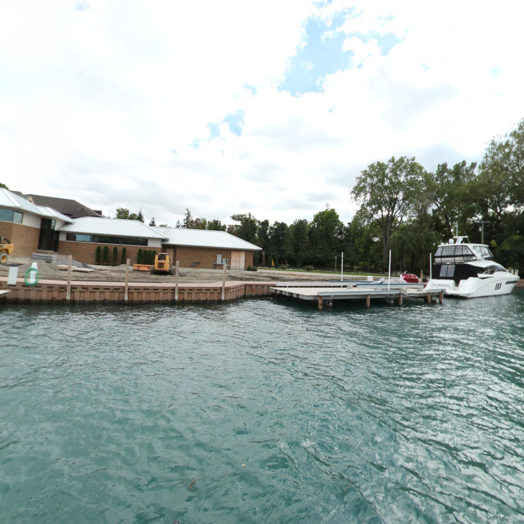
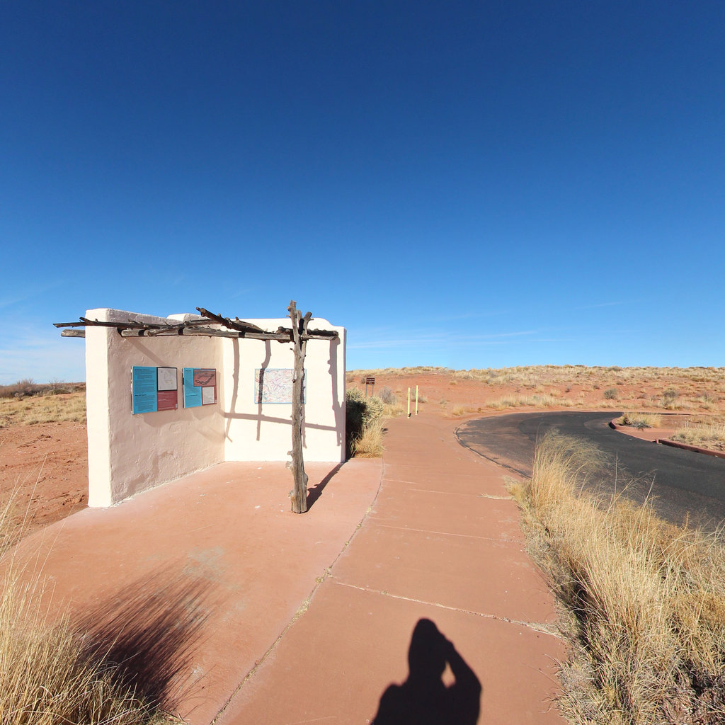
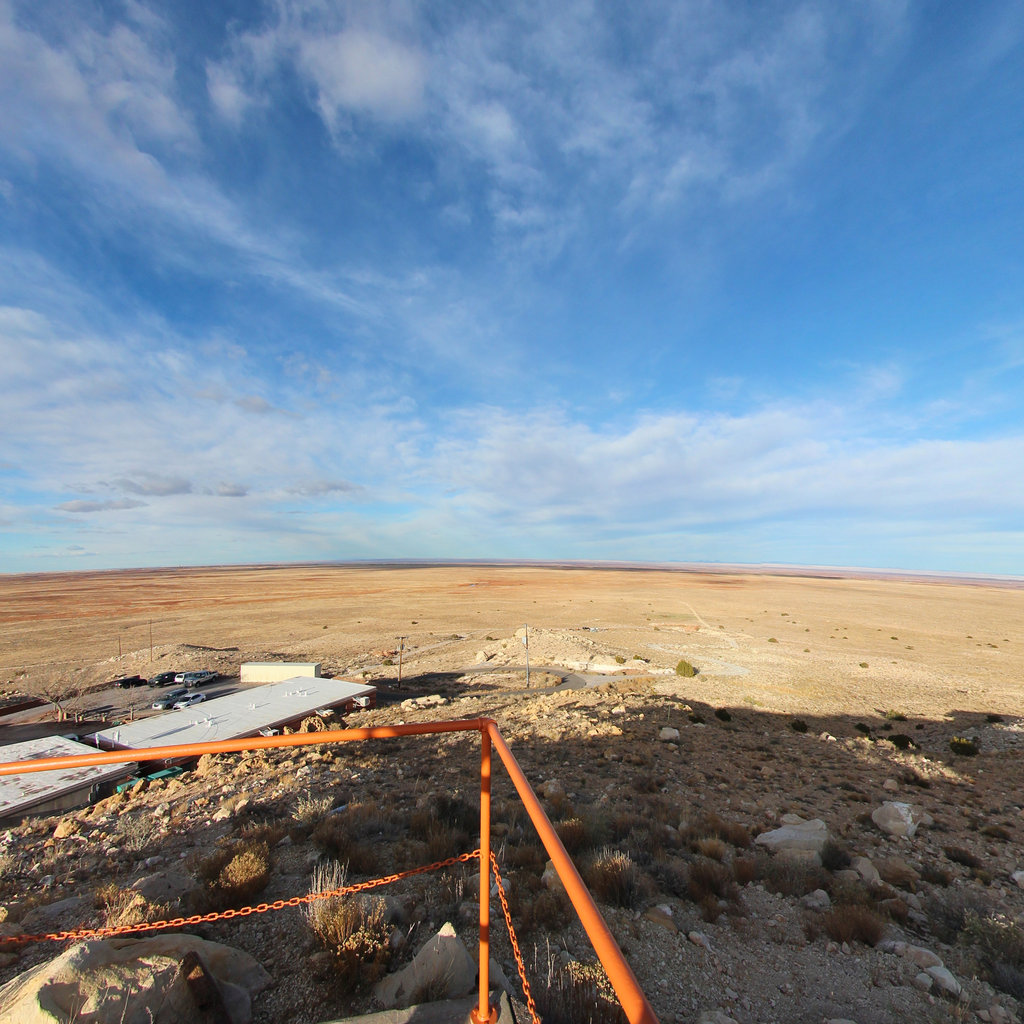
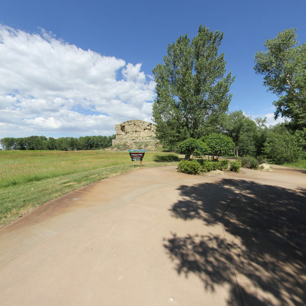
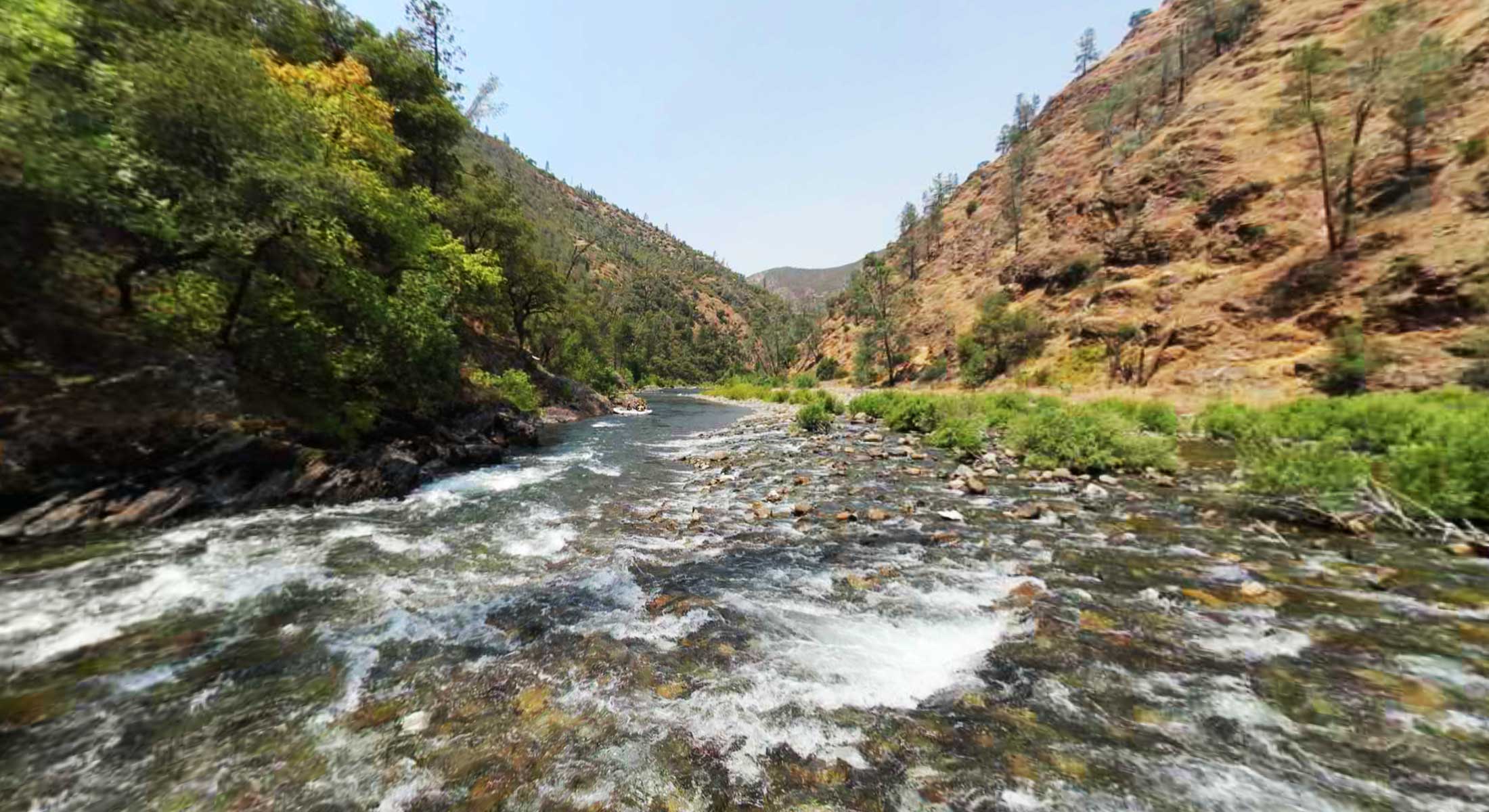
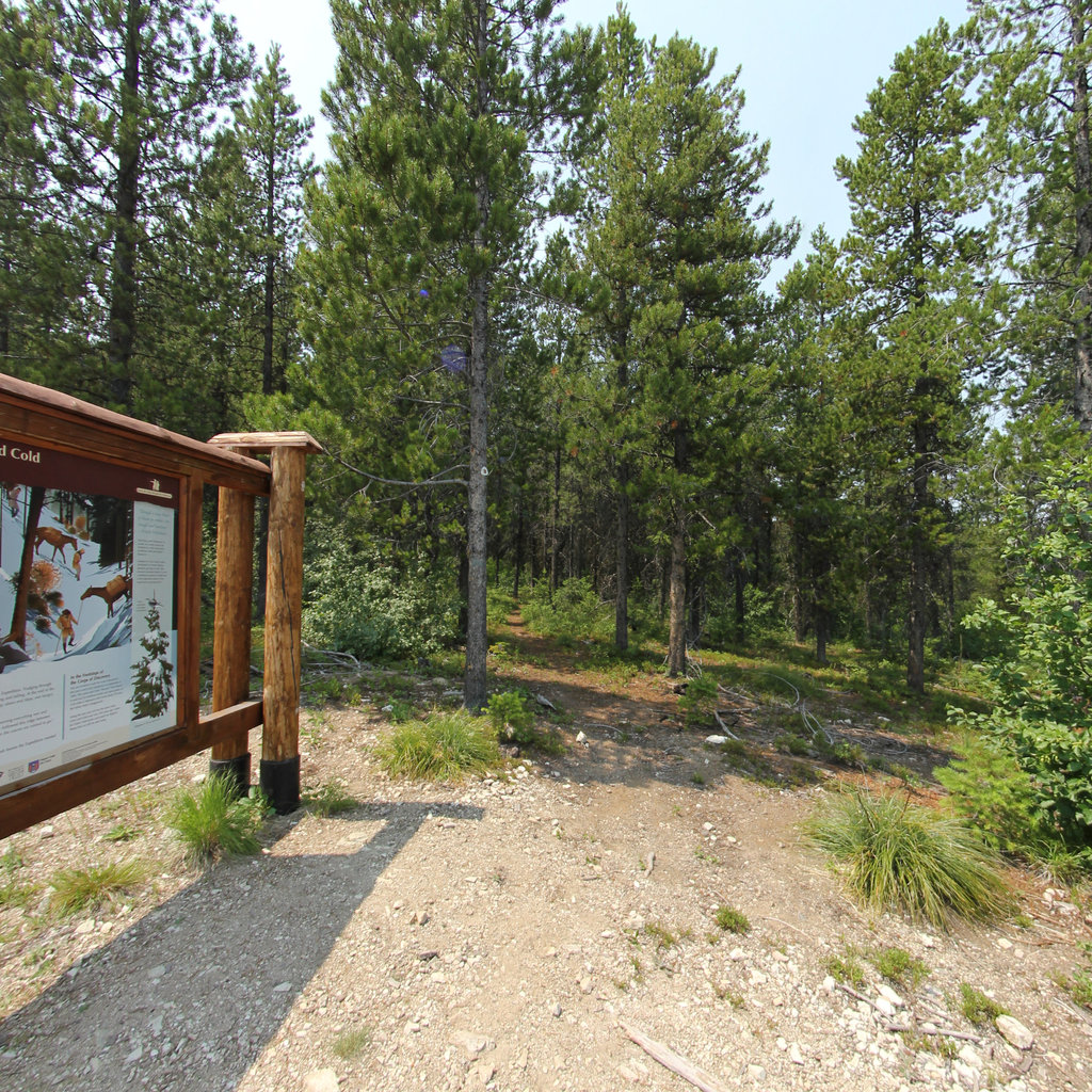
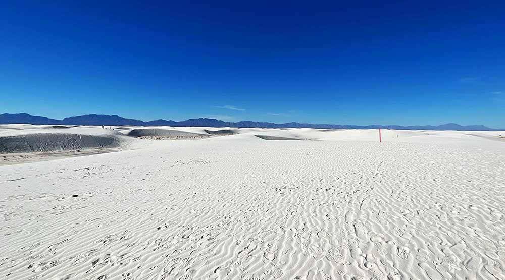
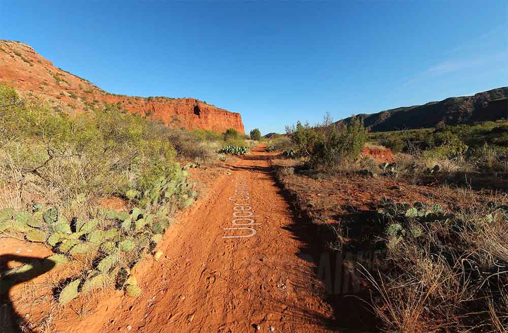
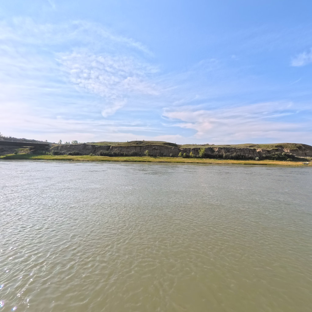
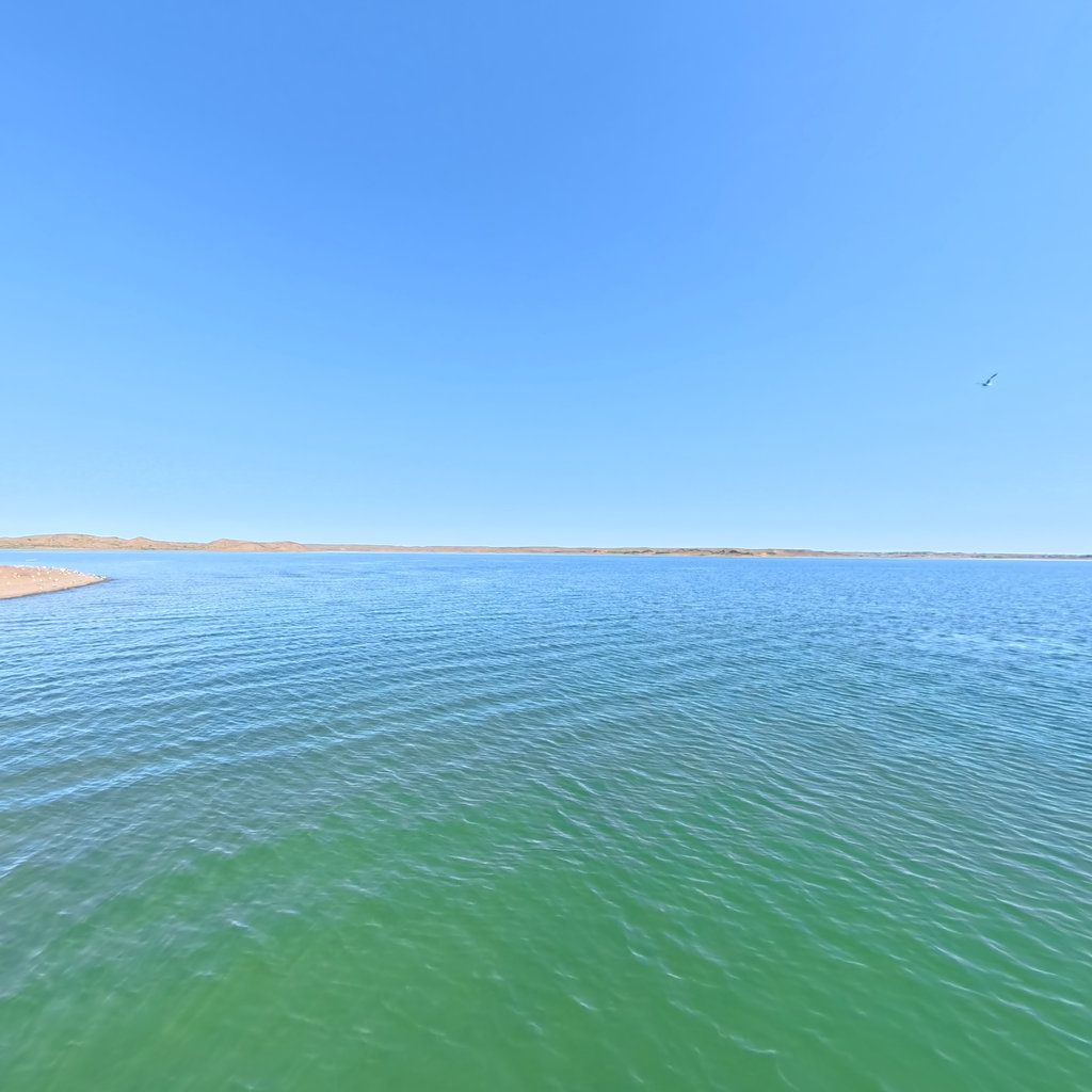
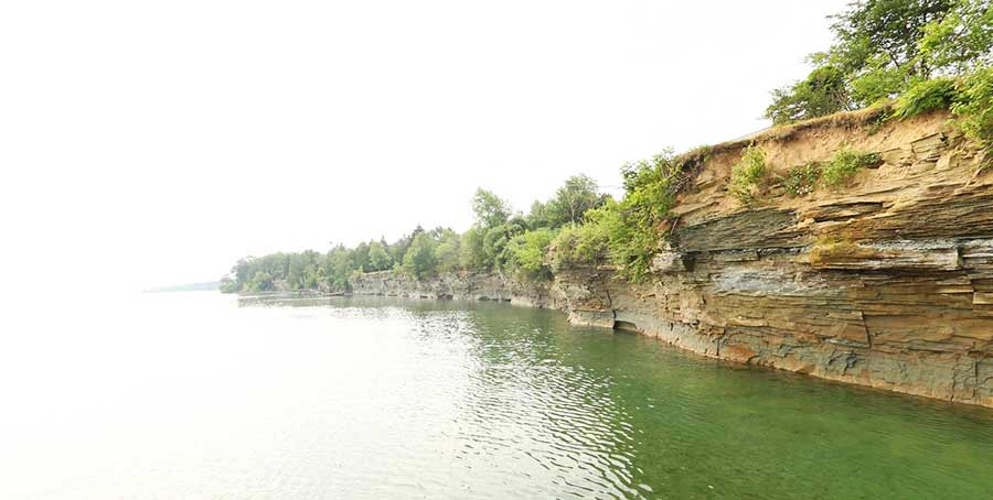
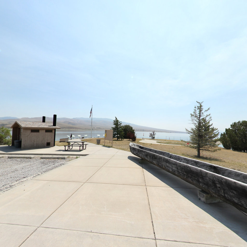
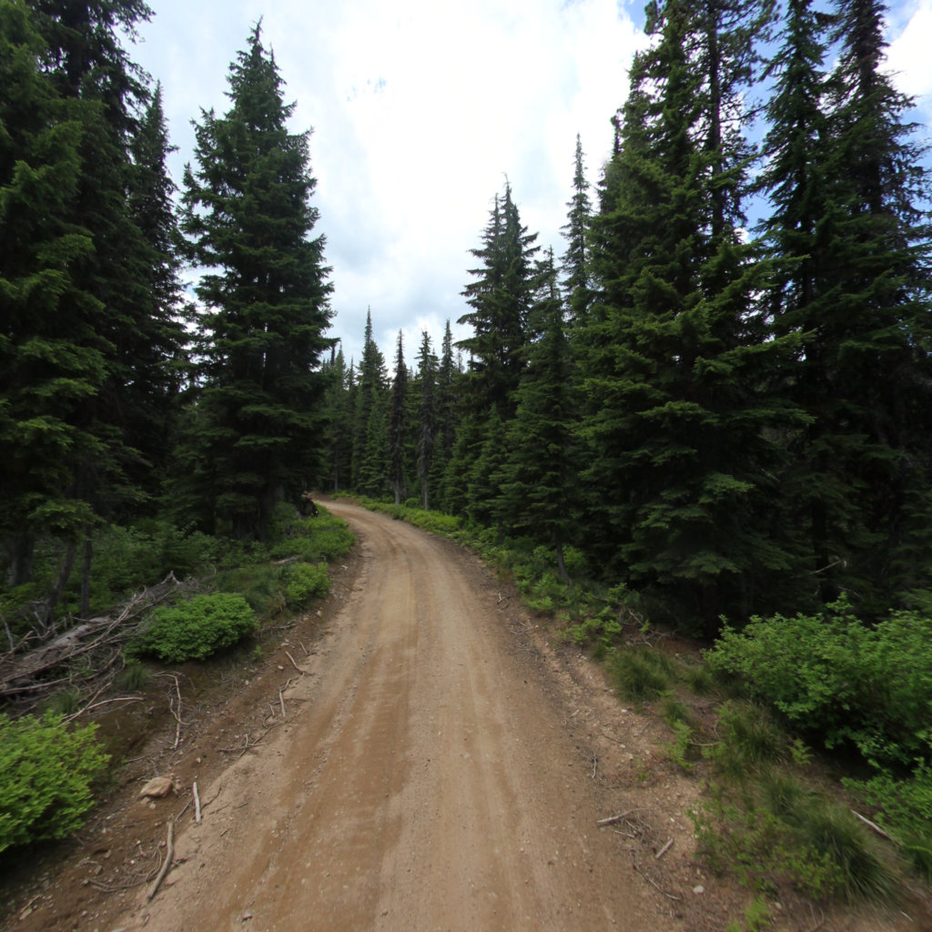
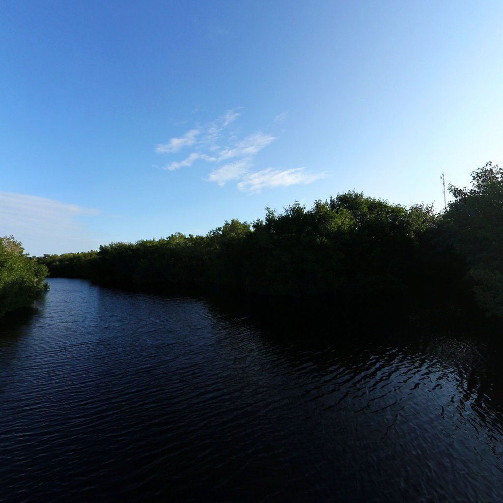
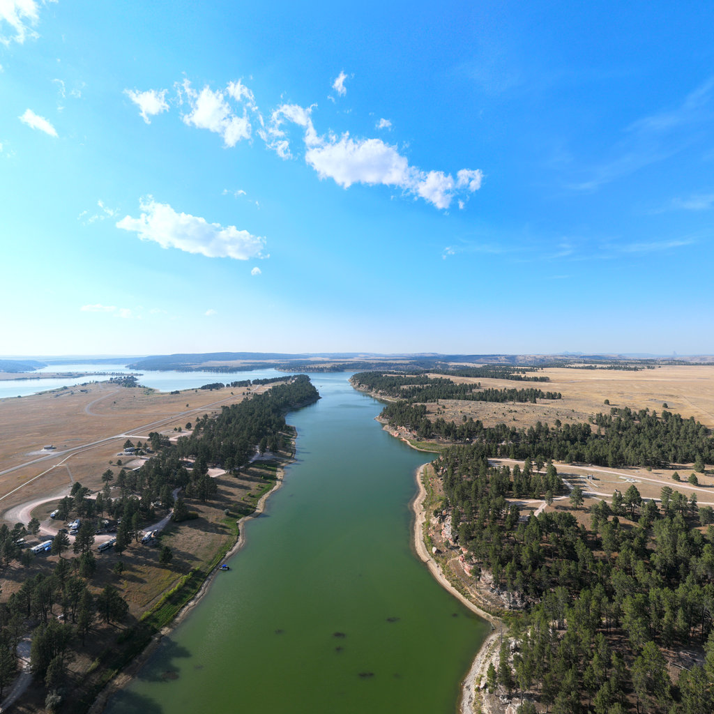
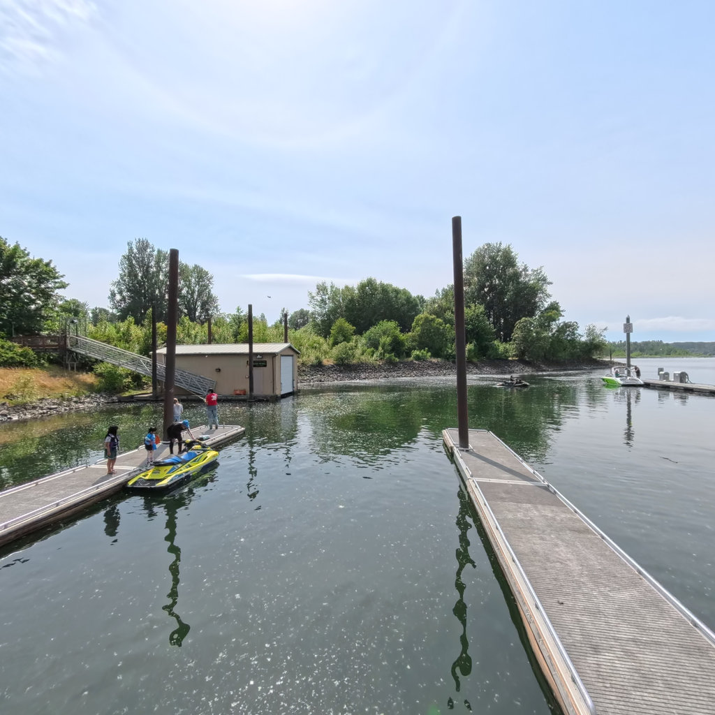
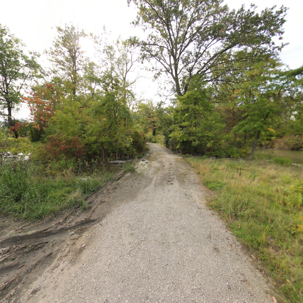
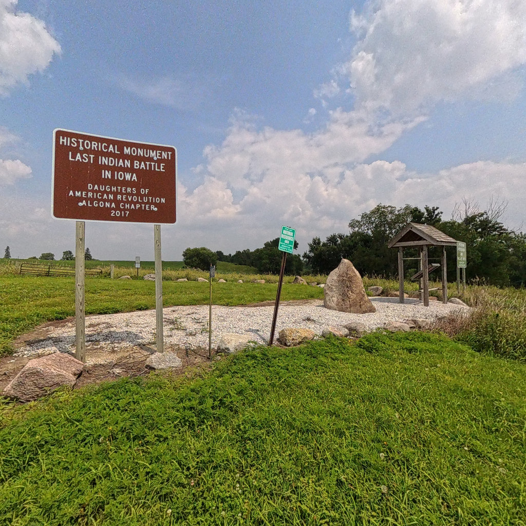
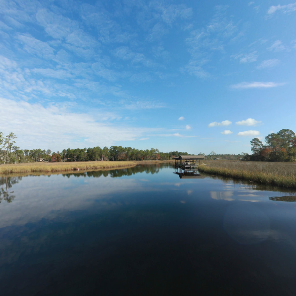
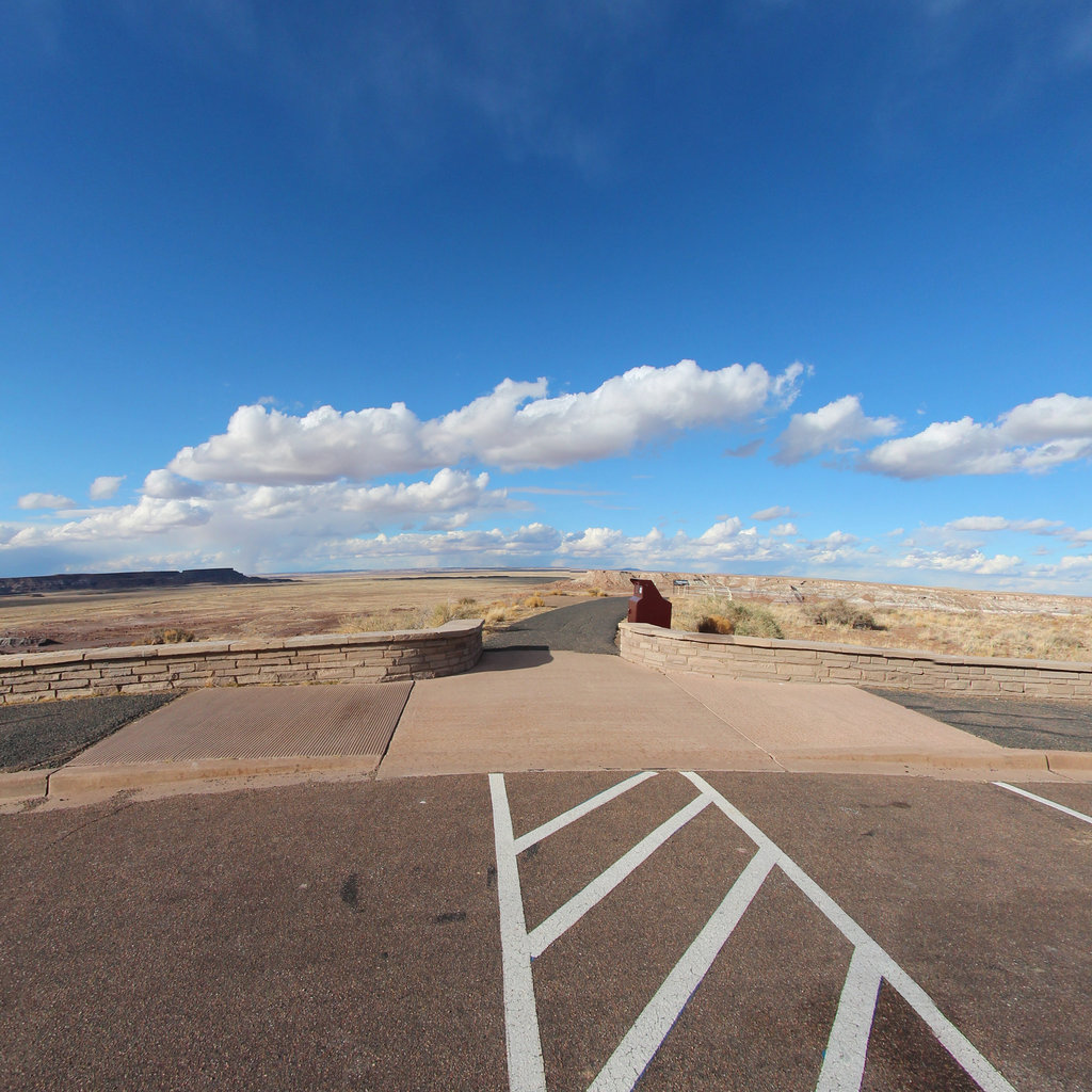
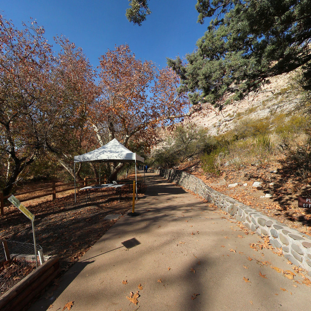
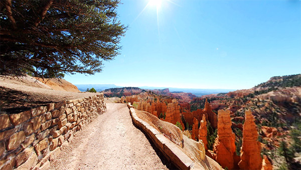
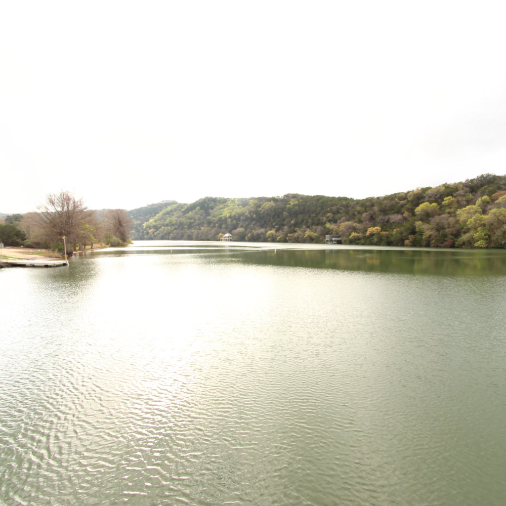
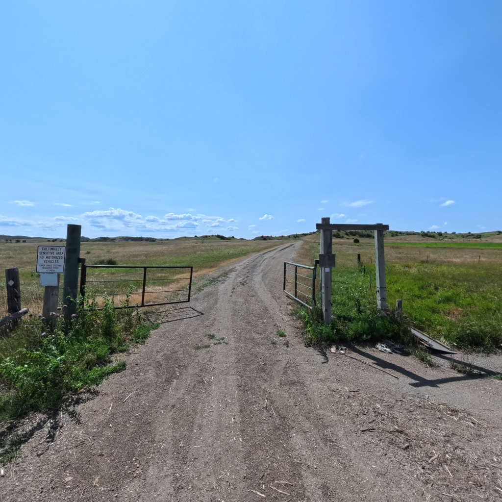
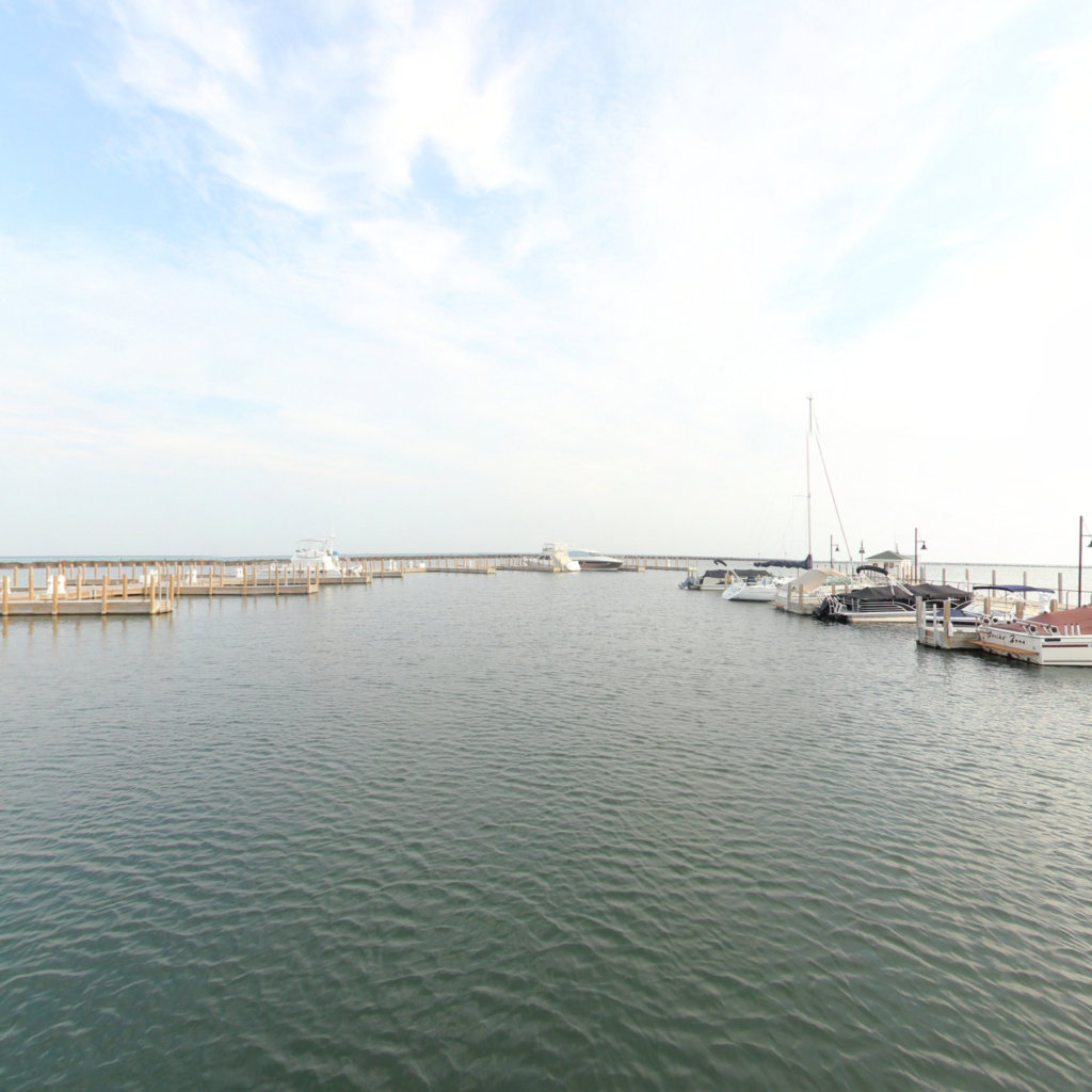
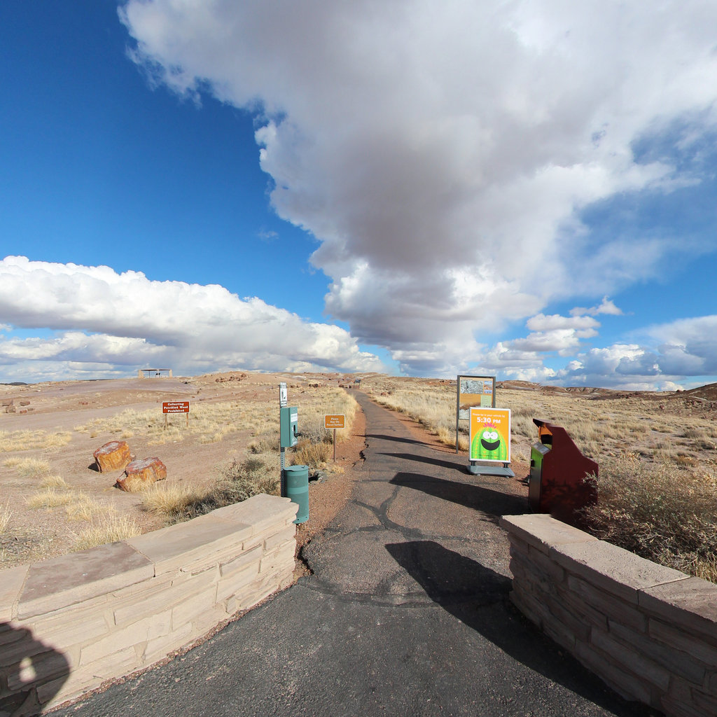
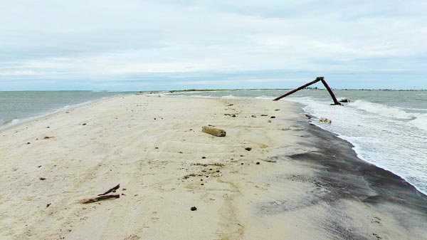
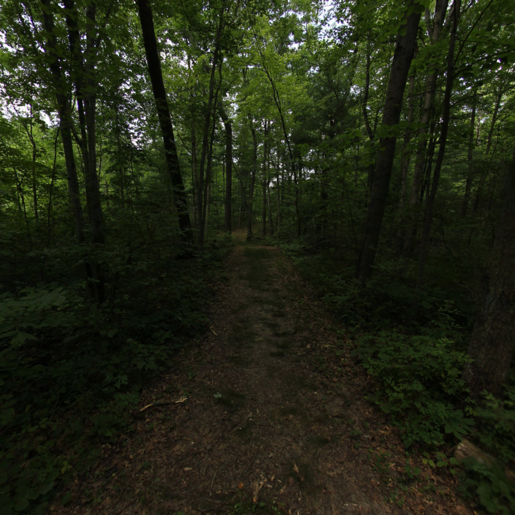
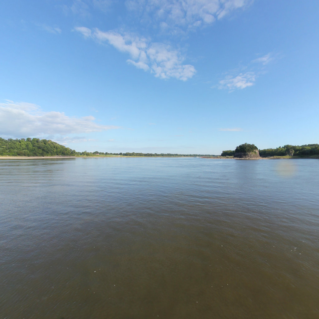
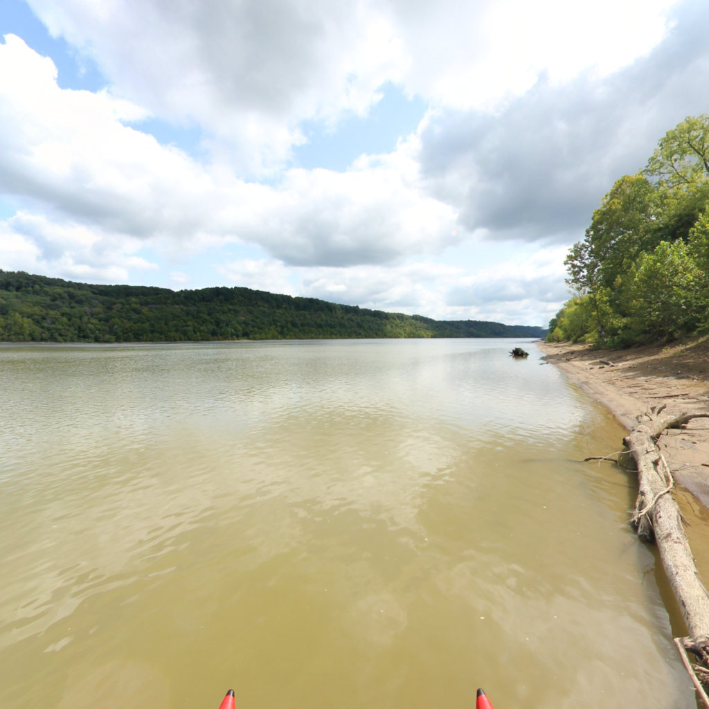
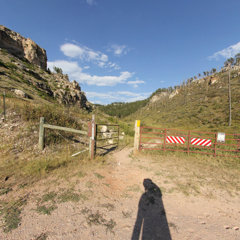
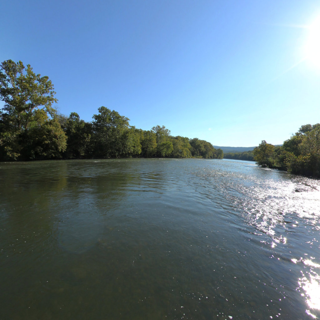
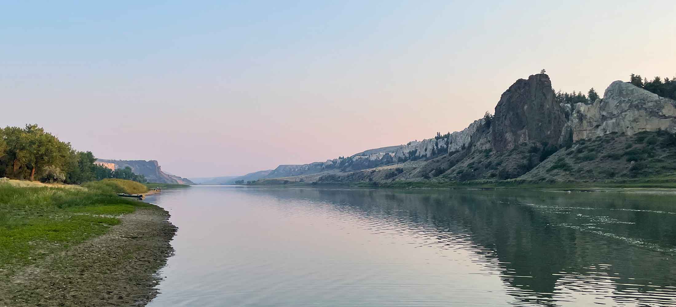
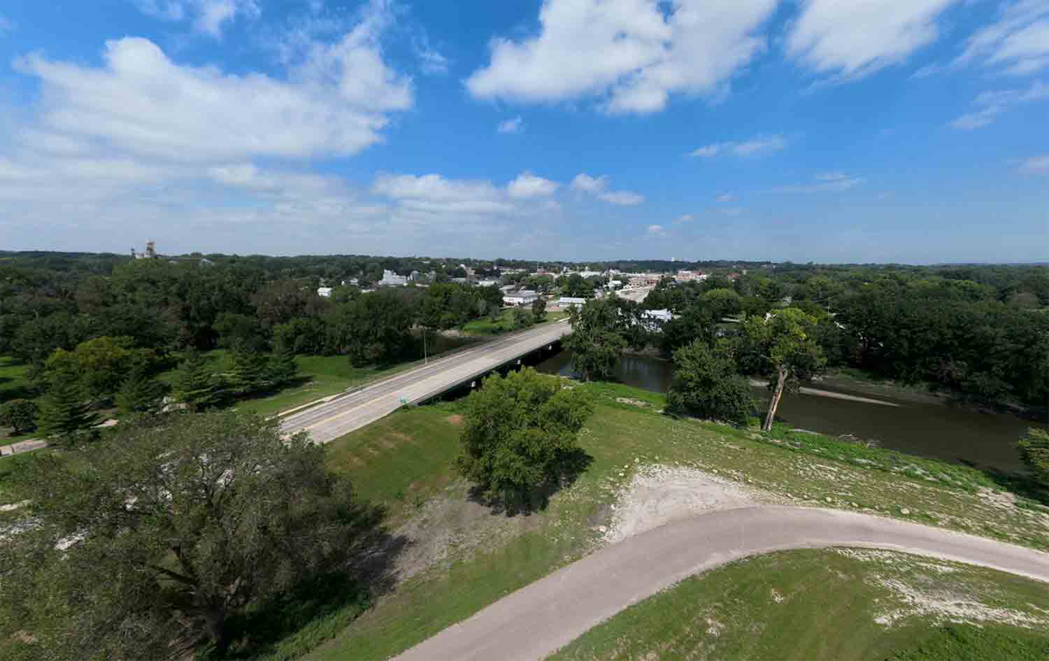
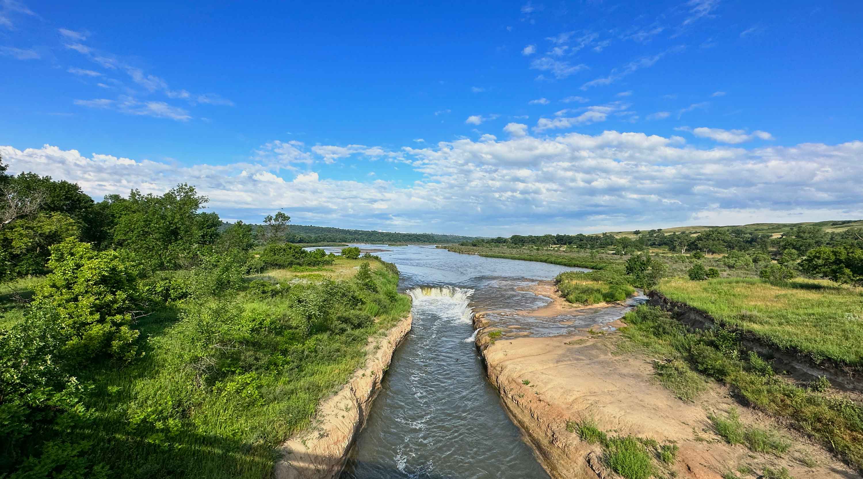
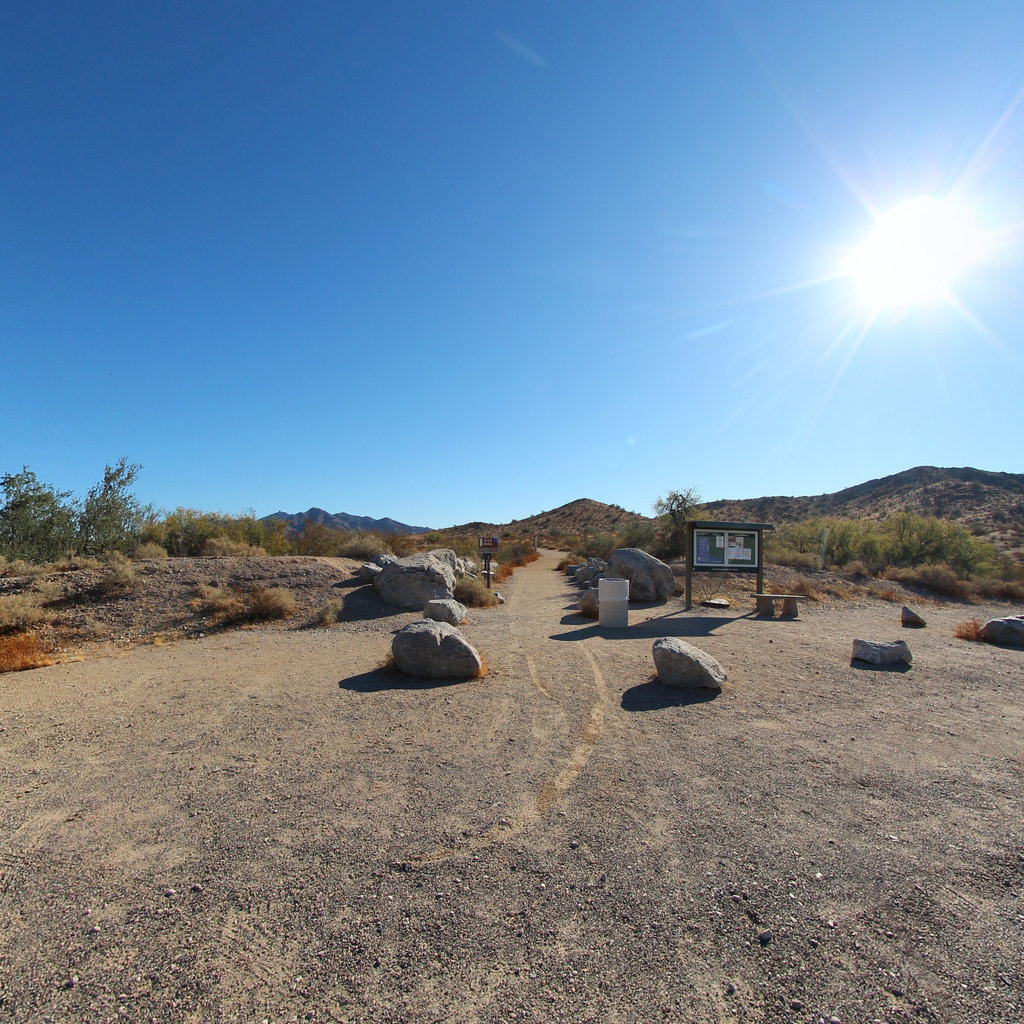
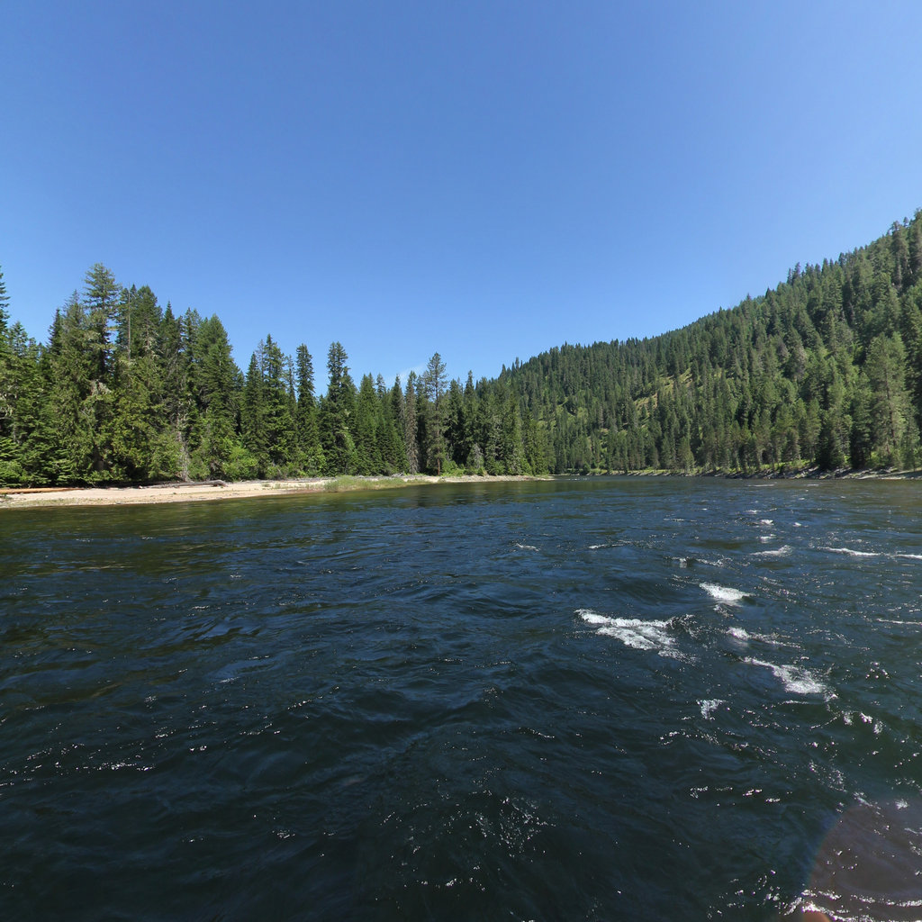
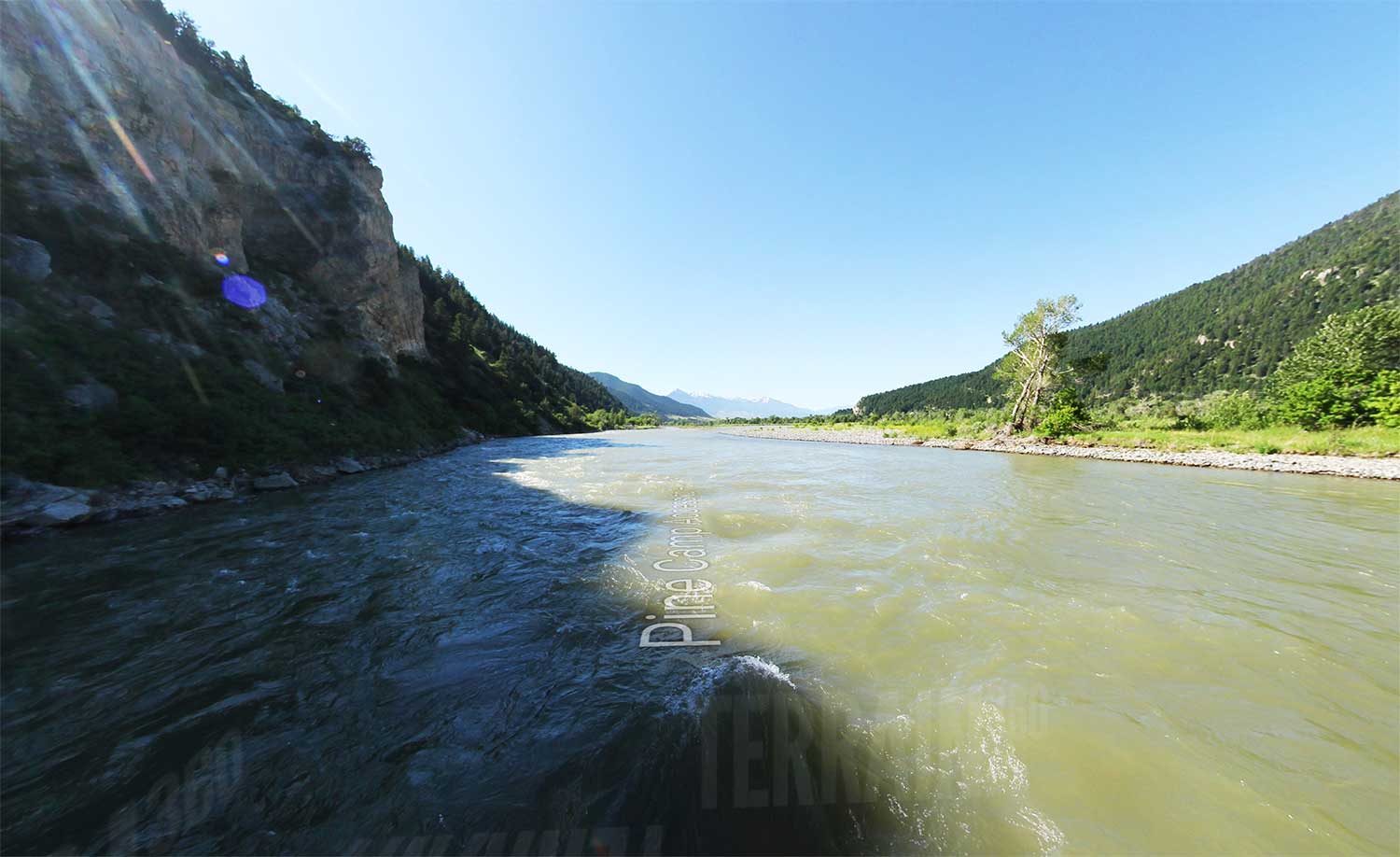
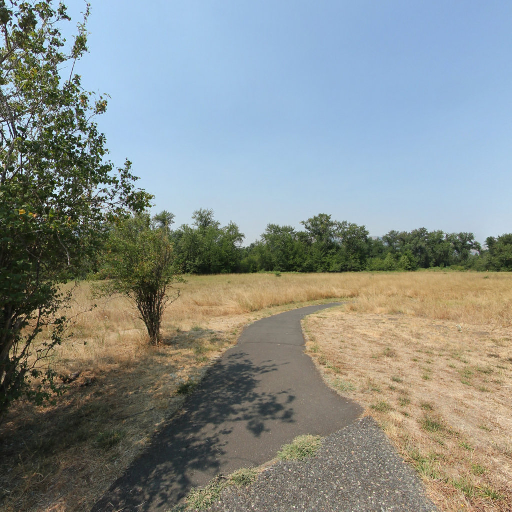
Terrain360 creates high-resolution, interactive panoramic maps of trails, waterways, and other outdoor recreation areas. Their maps allow users to explore and virtually experience these locations as if they were physically present. The maps are created using specialized mapping technology, including specialized cameras and software. Terrain360 maps can be accessed online on any device at anytime.


At Terrain360™, our website's dark mode design enhances the user experience on mobile devices, laptops, and tablets, while also aiding in battery conservation and reducing carbon footprint. This is especially beneficial for devices with OLED and AMOLED screens, which are common in modern technology and more energy-efficient when displaying darker colors.