In the summer of 1814 a British fleet entered the Chesapeake, rowed up the Patuxent, scattered an American force at Bladensburg and burned Washington. Three weeks later the same fleet failed to take Baltimore, and the bombardment of Fort McHenry gave Francis Scott Key the verses that became the national anthem. Congress designated the routes a National Historic Trail in 2008.
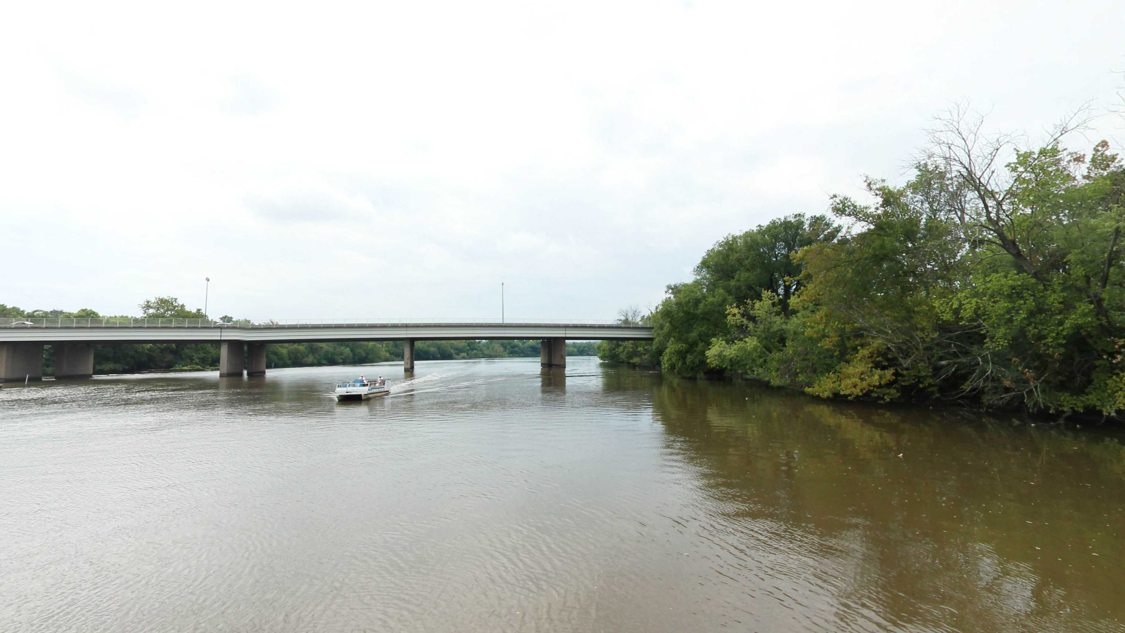
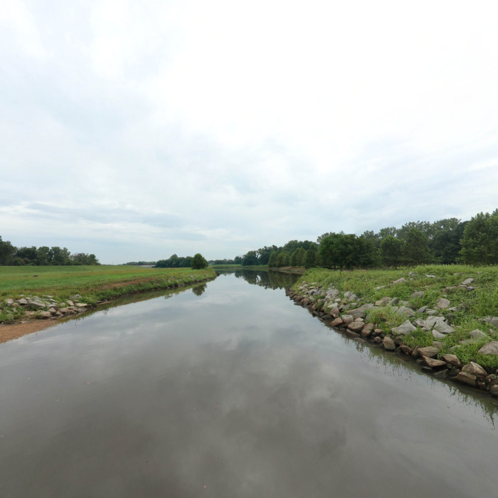
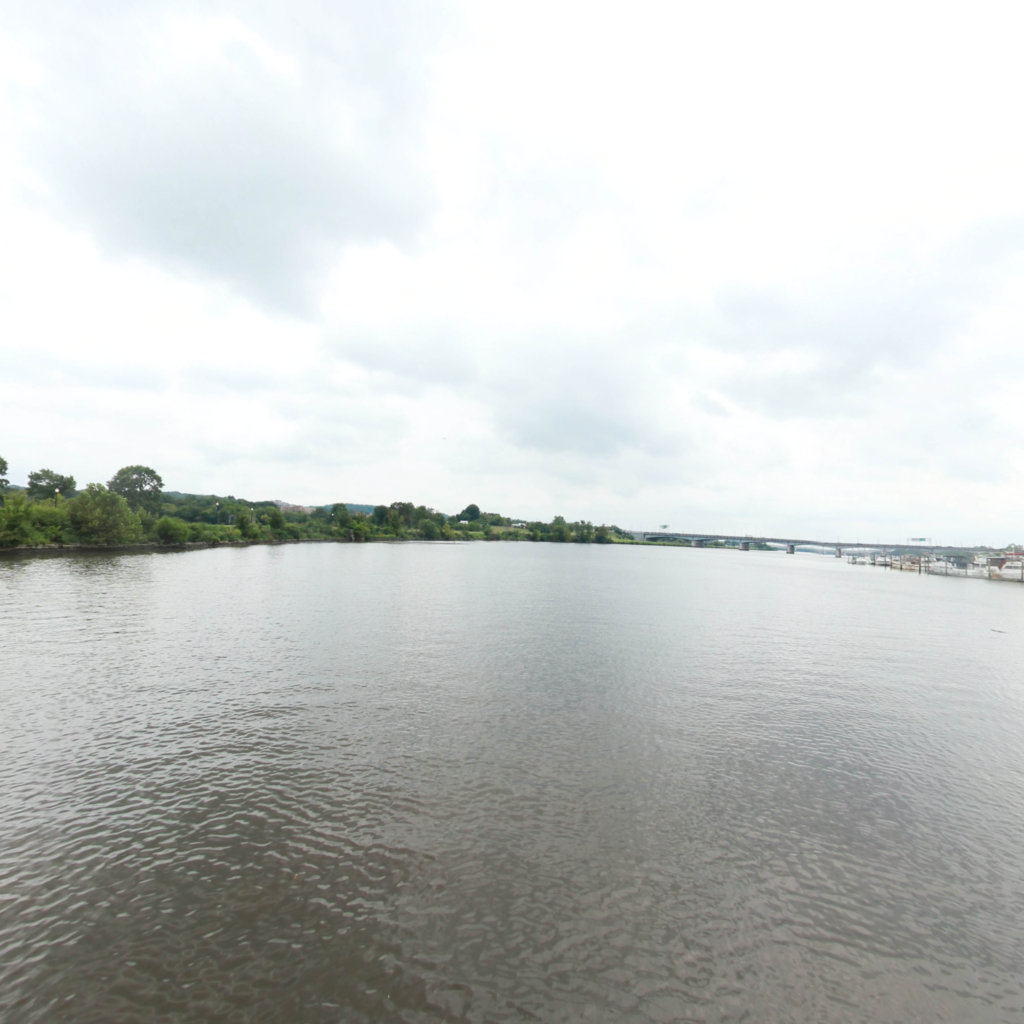
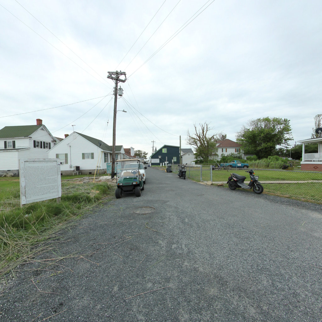
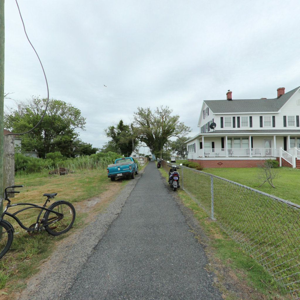
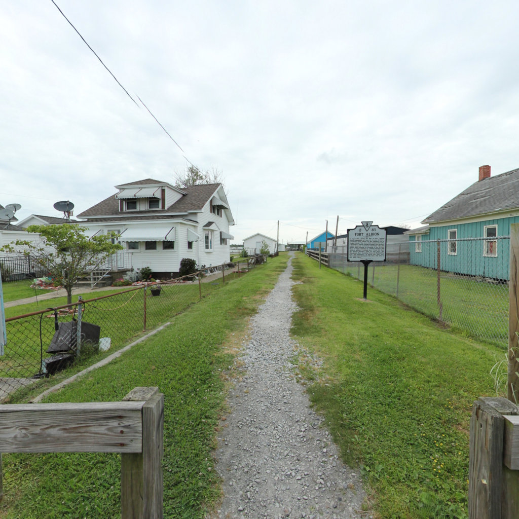
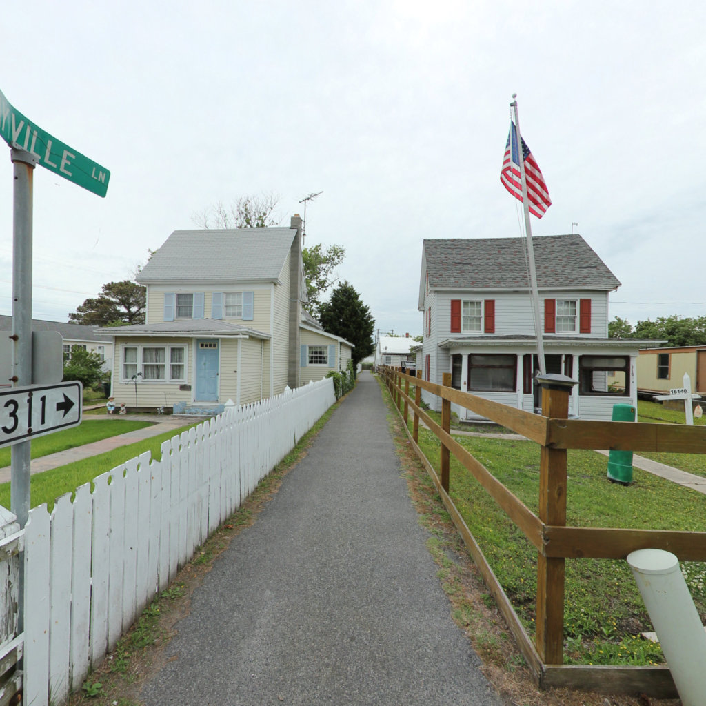
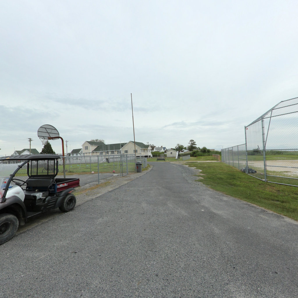
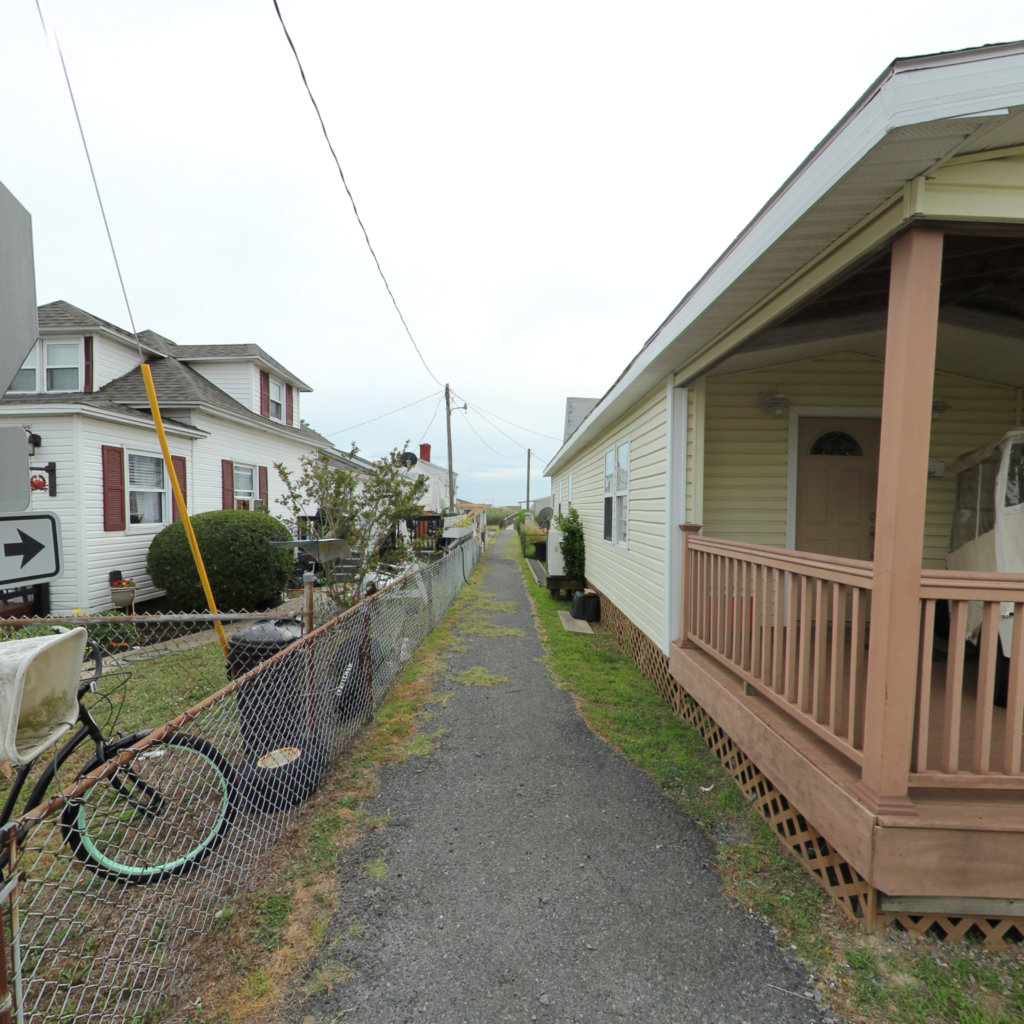
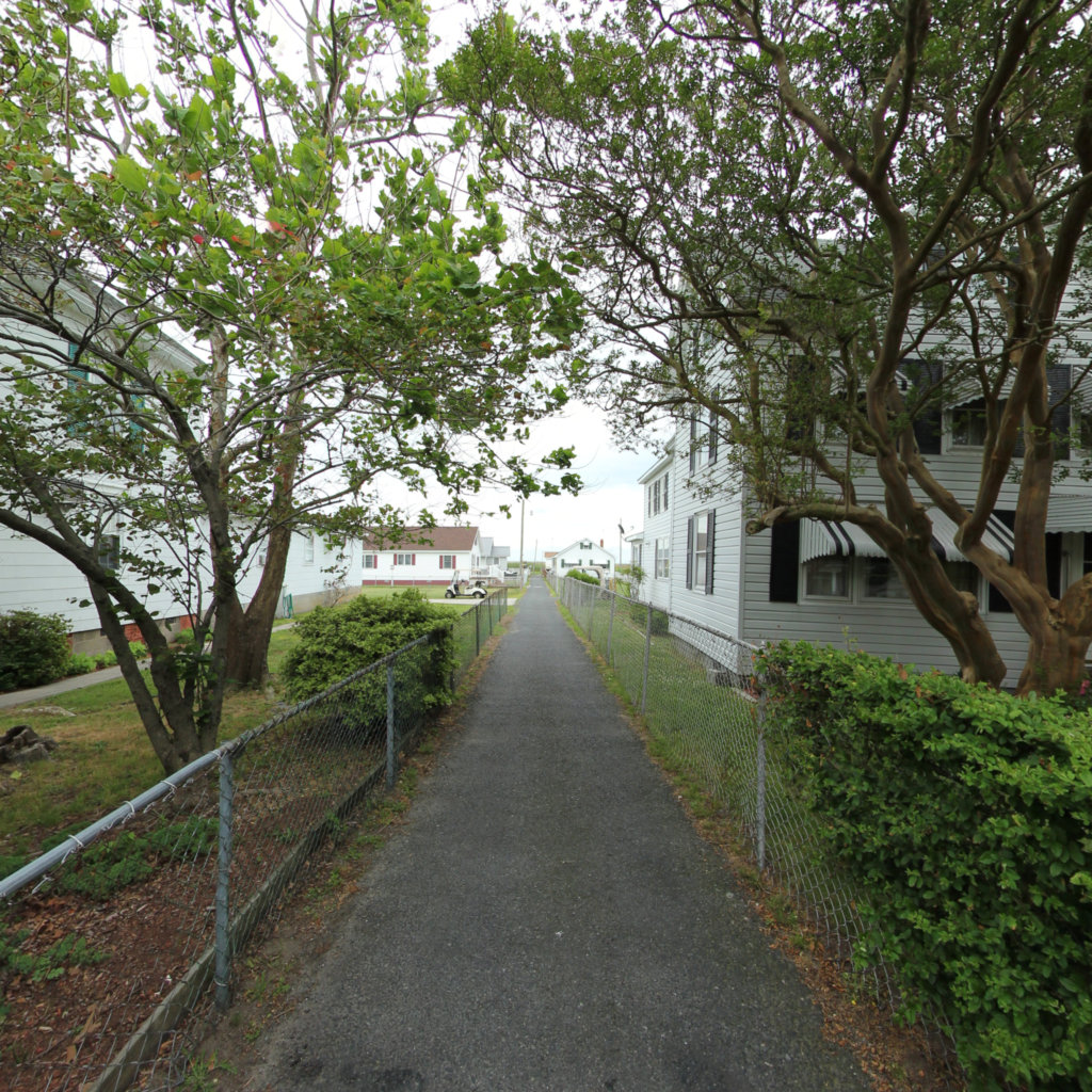
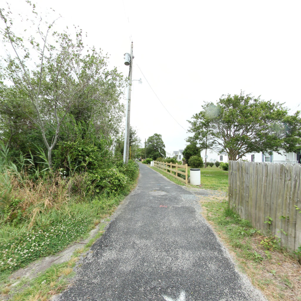
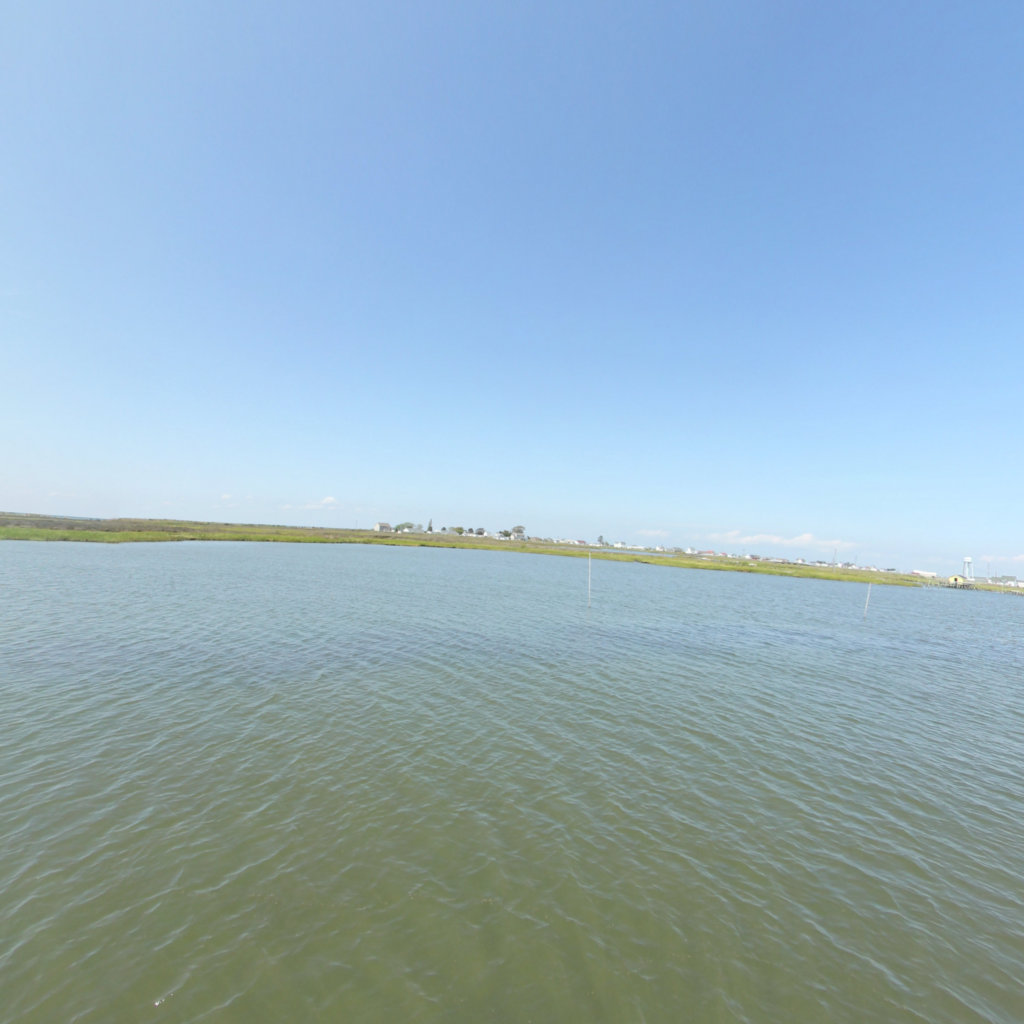
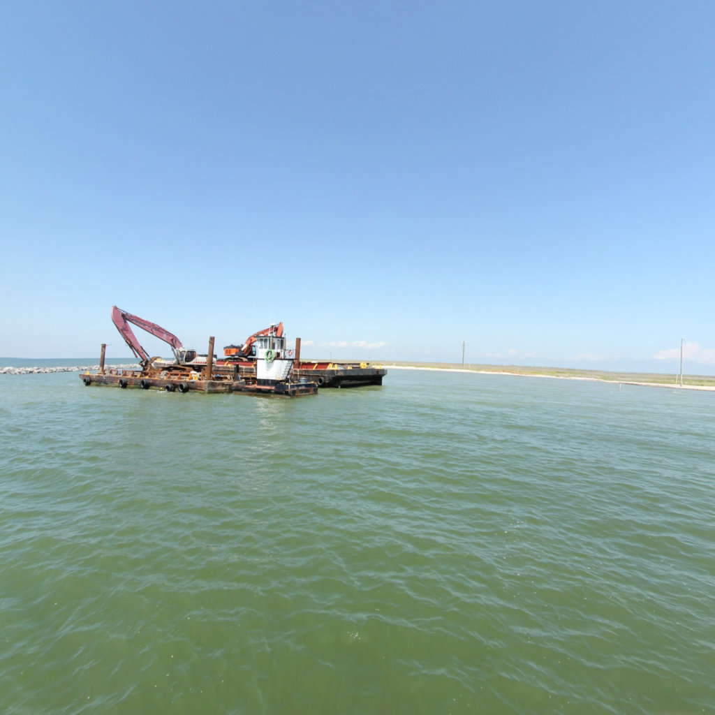
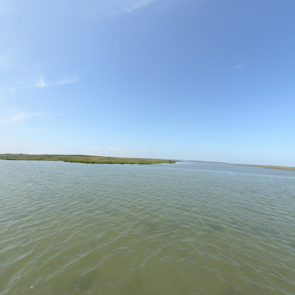
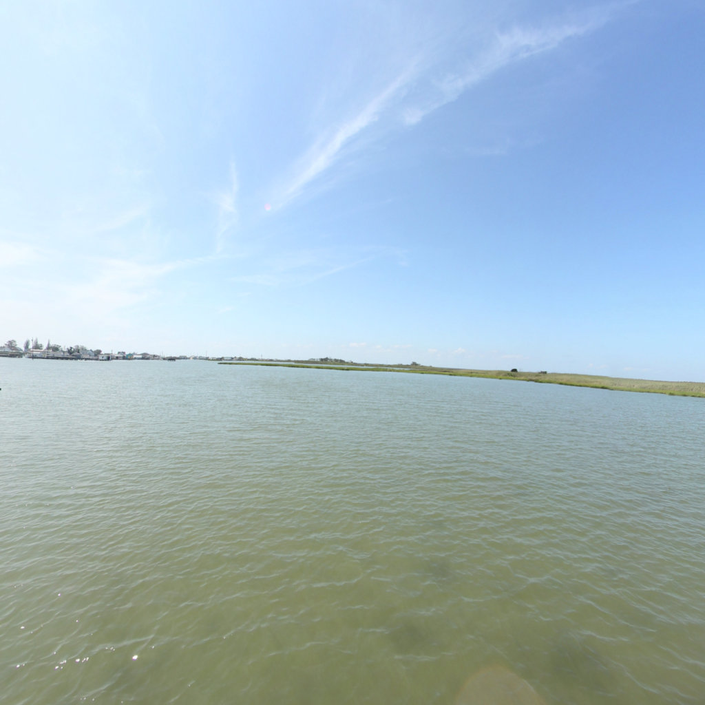
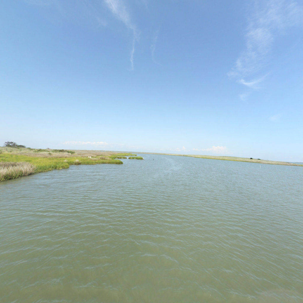
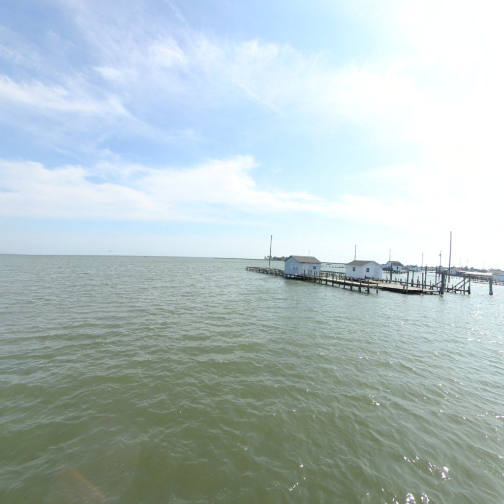
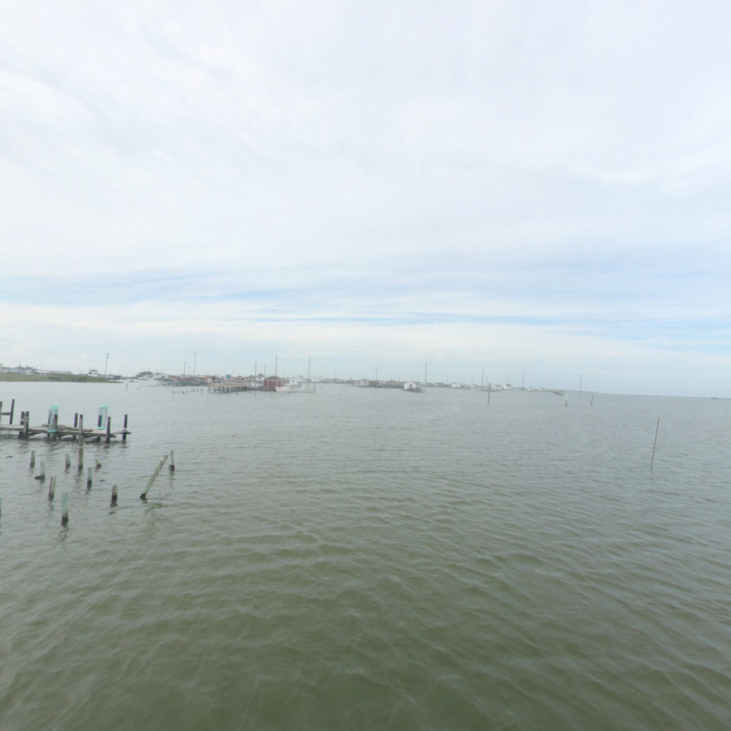
This map follows that ground and water at eye level — the Patuxent, the Anacostia at Bladensburg, the Potomac approaches to Washington and the Baltimore waterfront.
Route alignment follows the National Park Service centerline for the Star-Spangled Banner National Historic Trail.
Explore the map
Click anywhere on the line to drop into that spot in 360°.