Follow in the Footsteps of America's Greatest Expedition on the Lewis & Clark National Historic Trail
 1
Aug 31, 1803
1
Aug 31, 1803
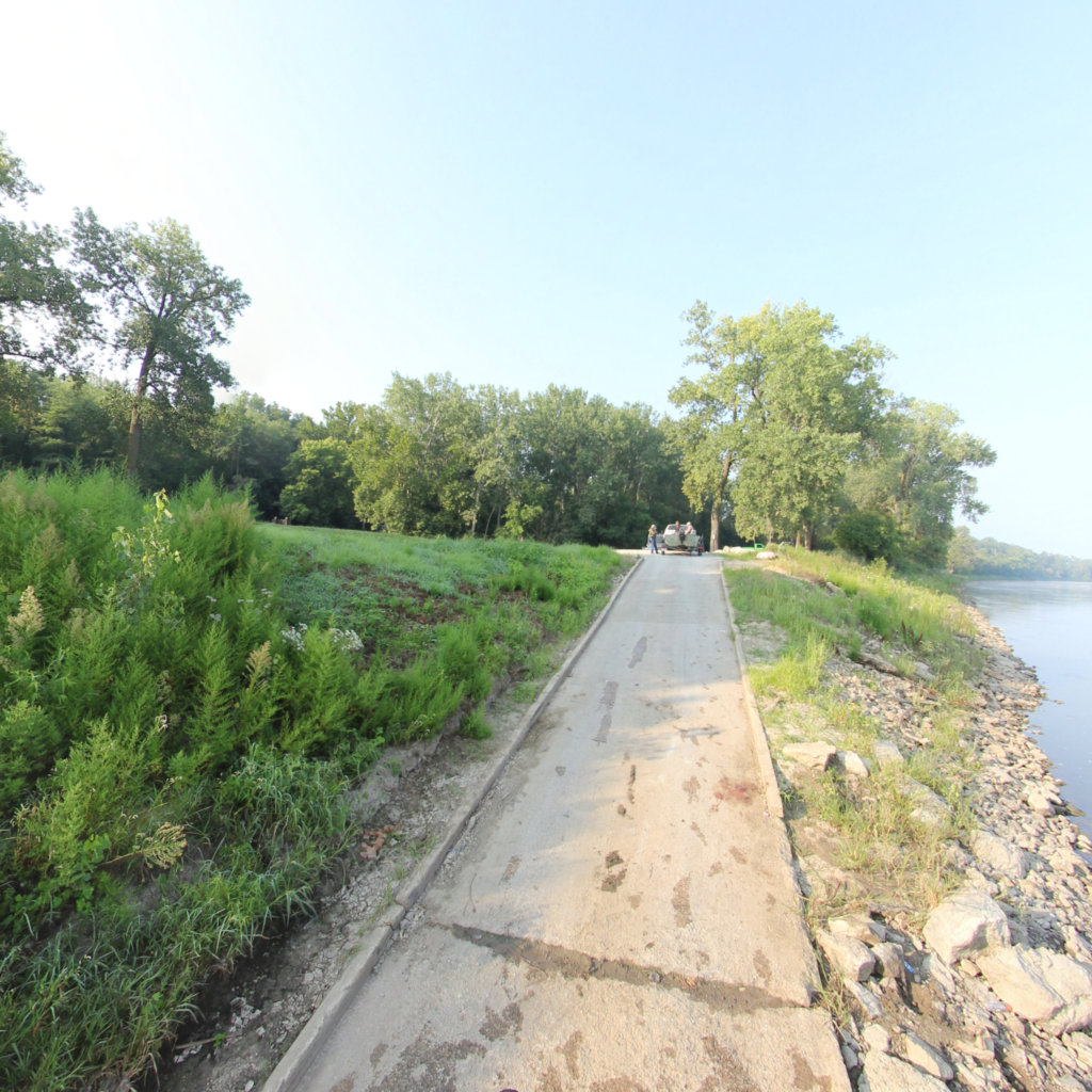
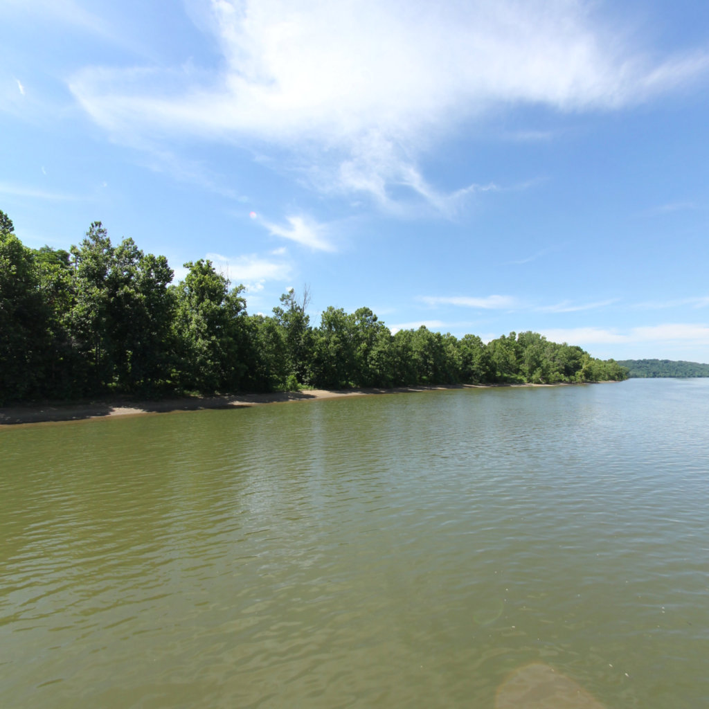
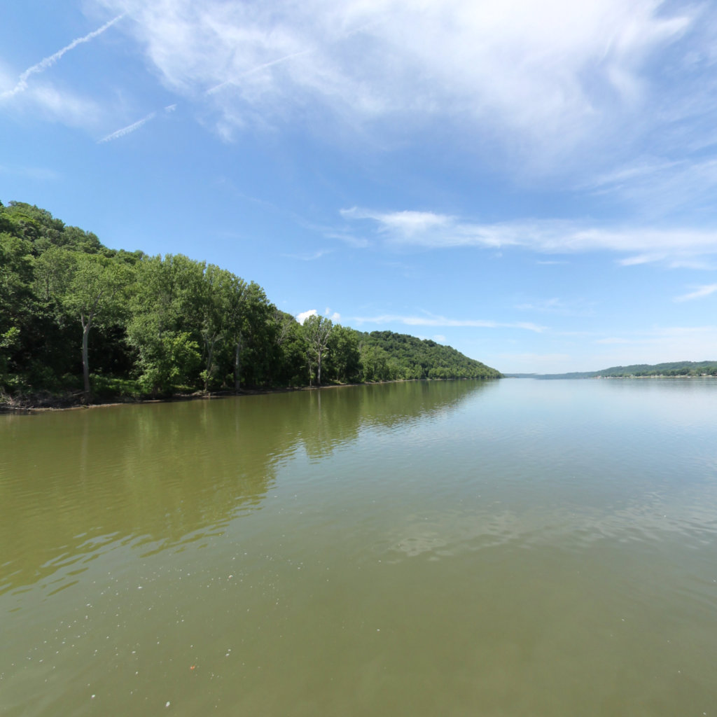
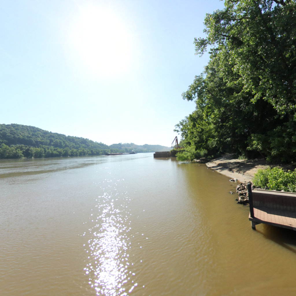
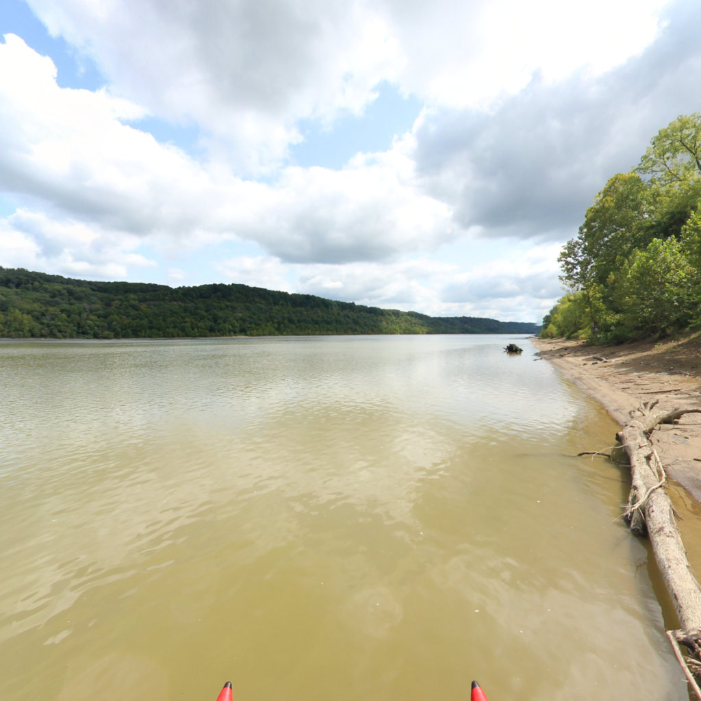
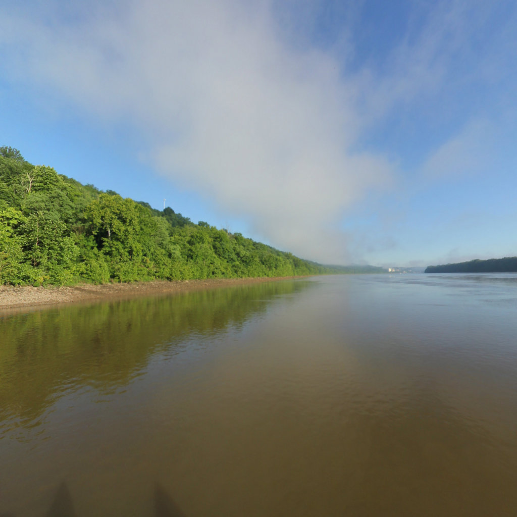
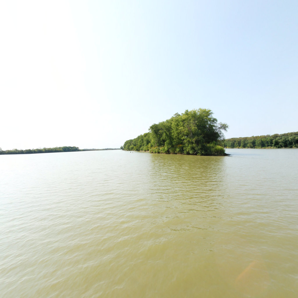
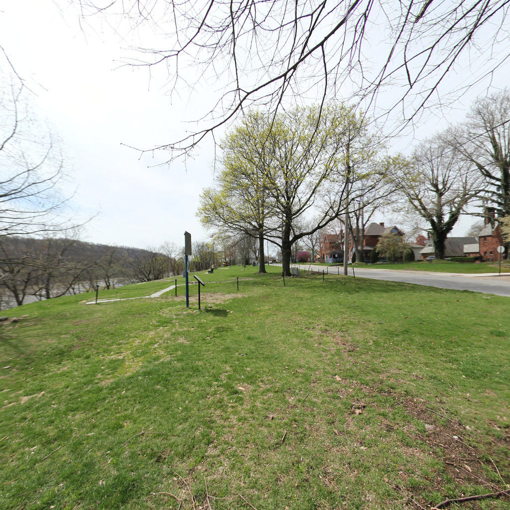
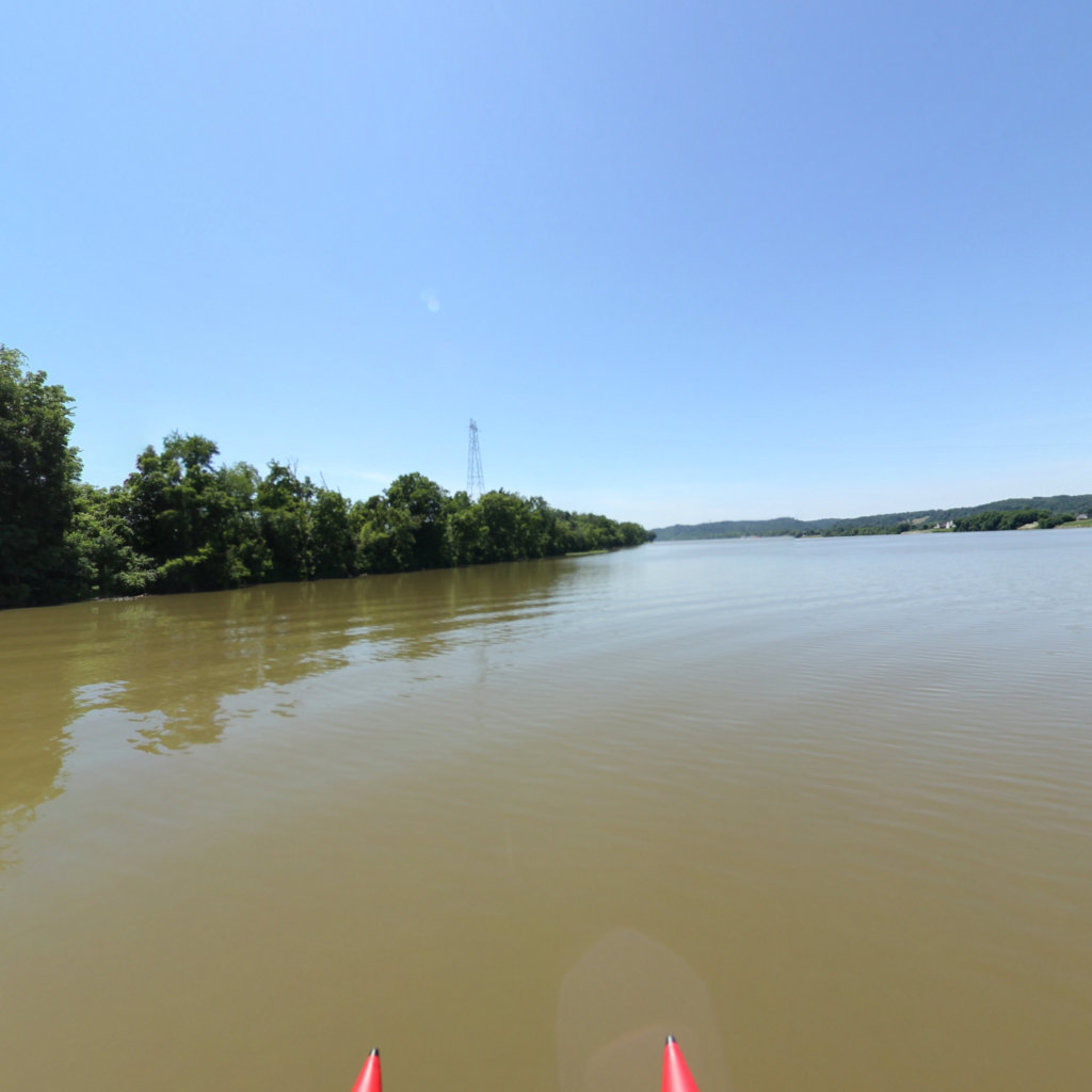
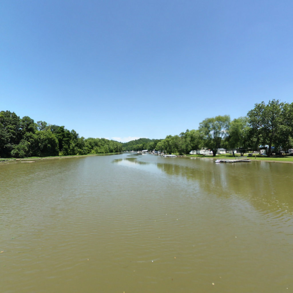
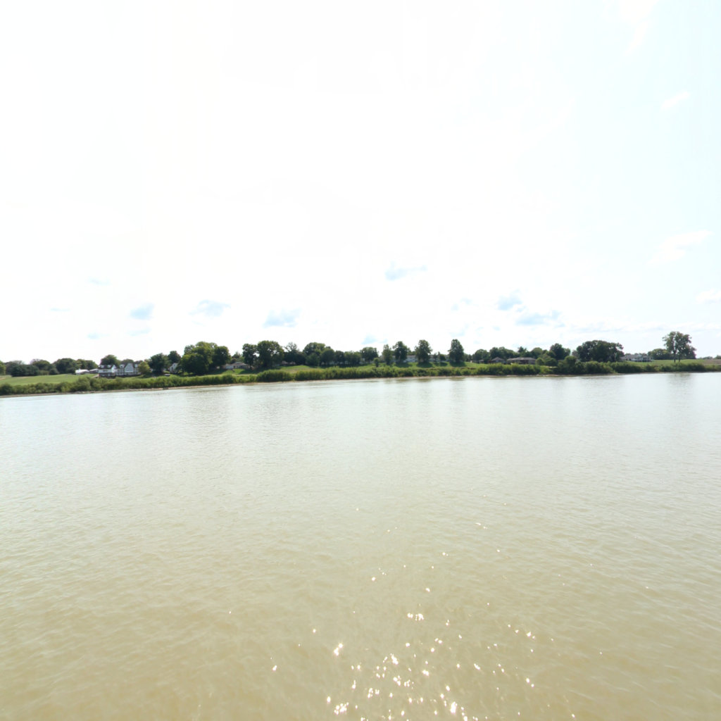
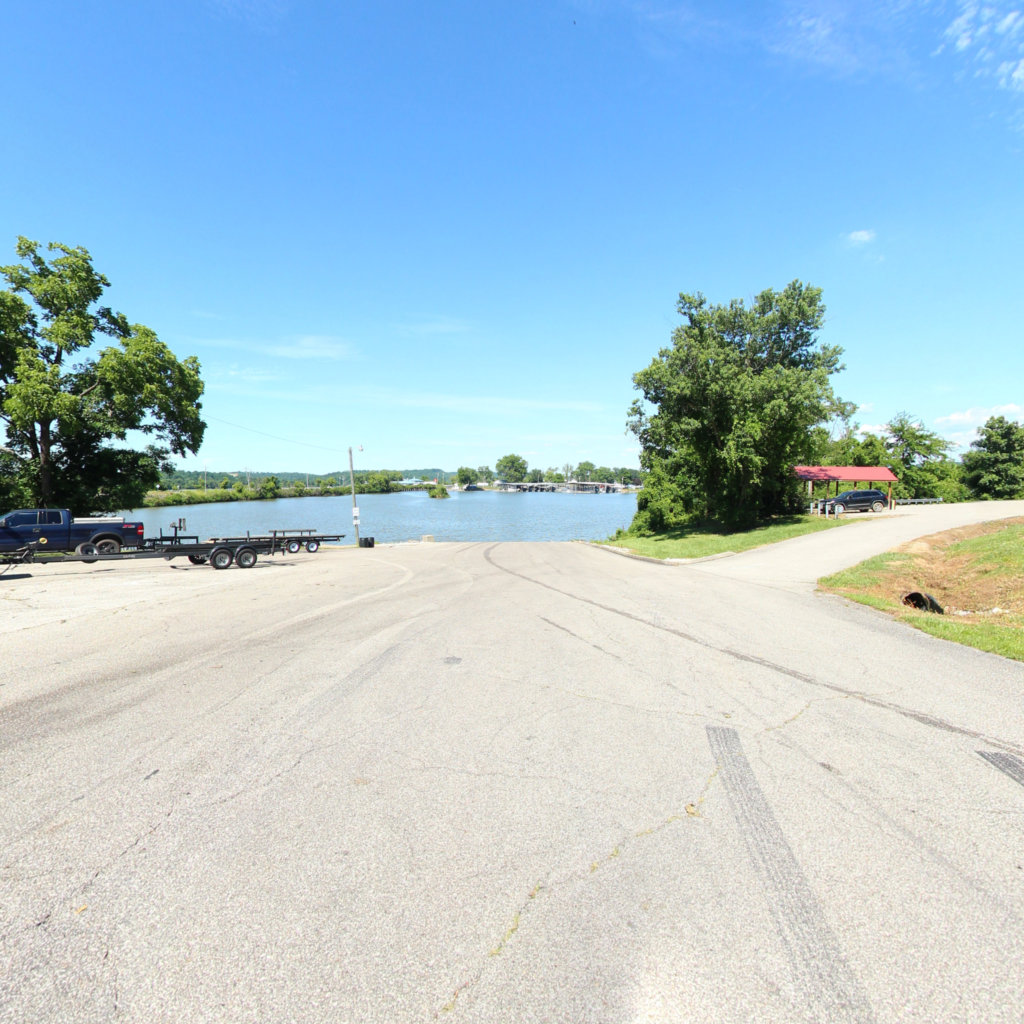
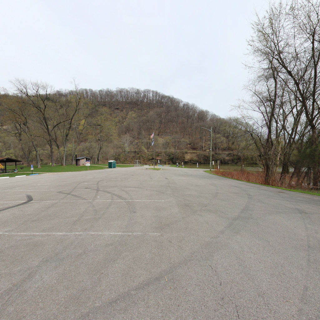
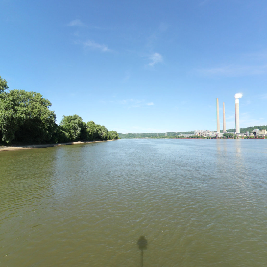
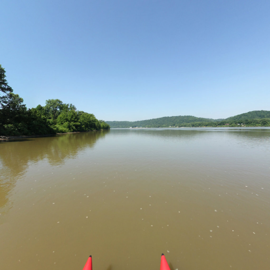
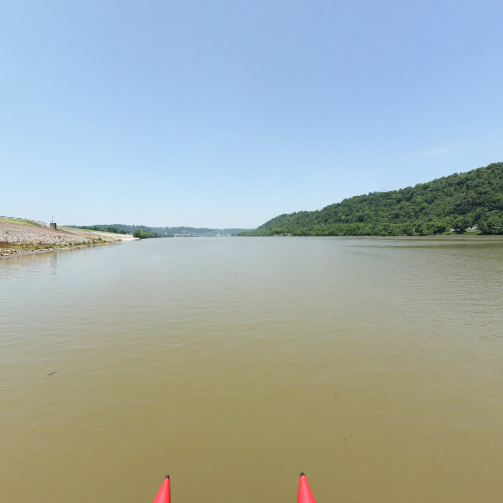
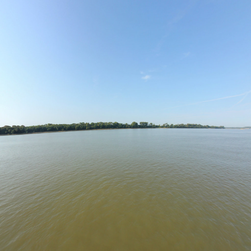
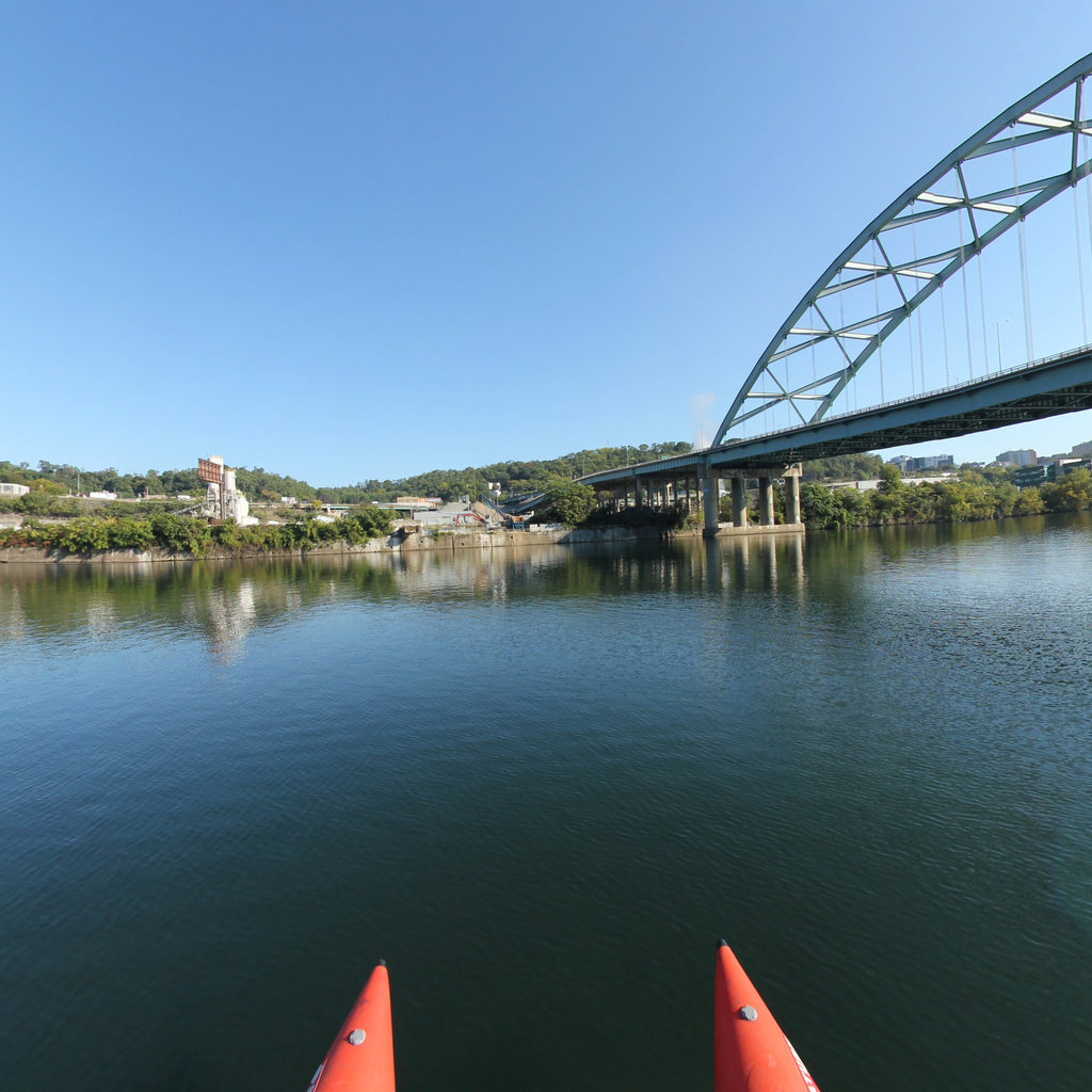
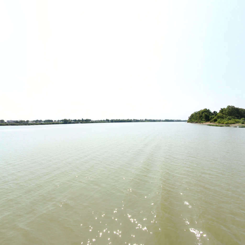
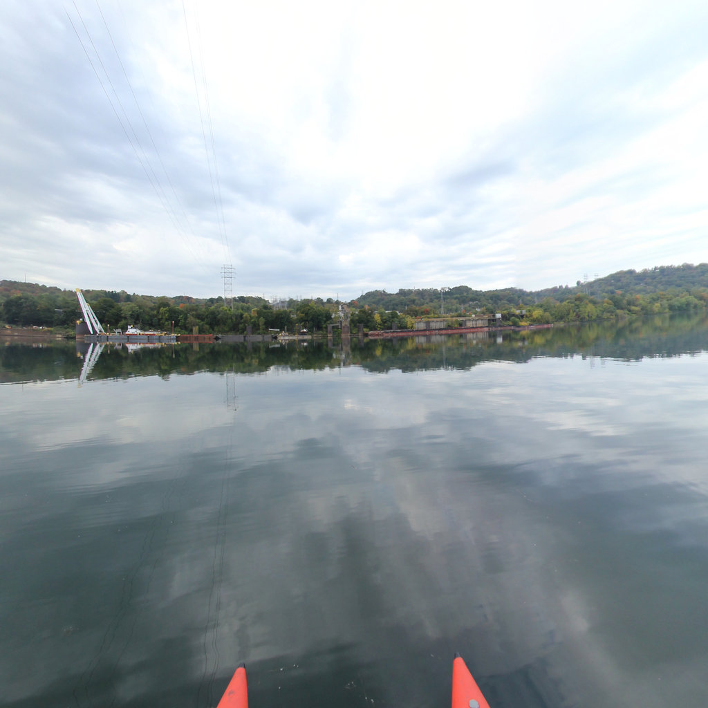
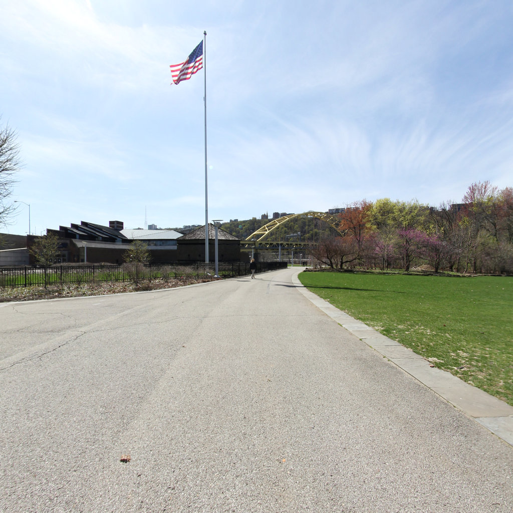
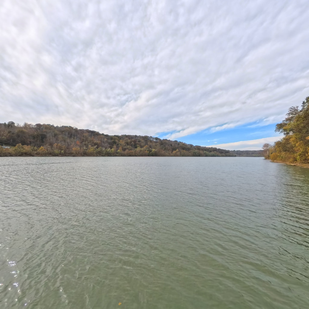
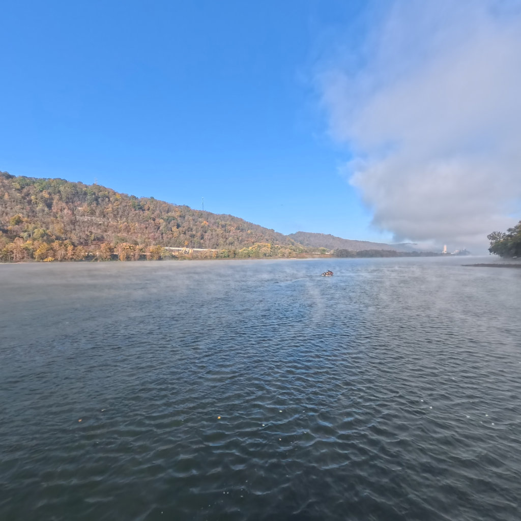
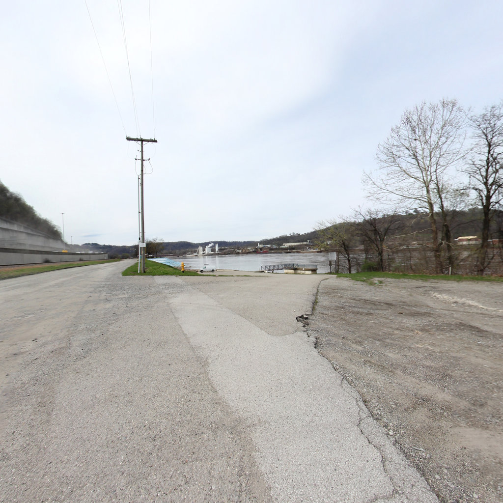
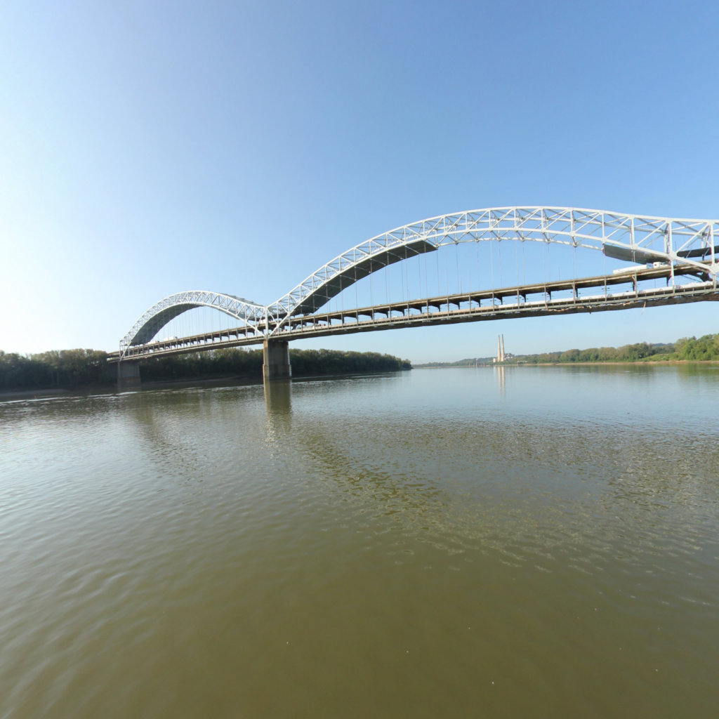
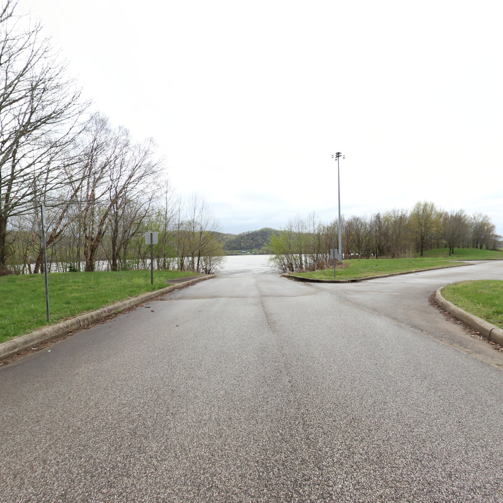
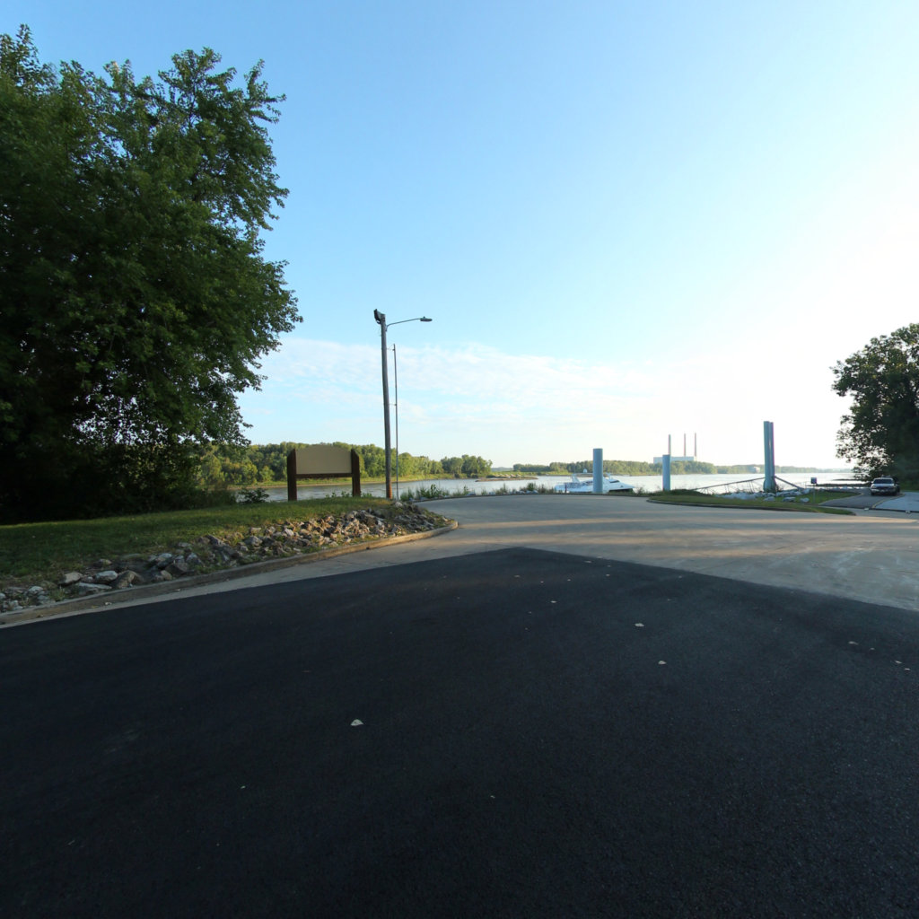
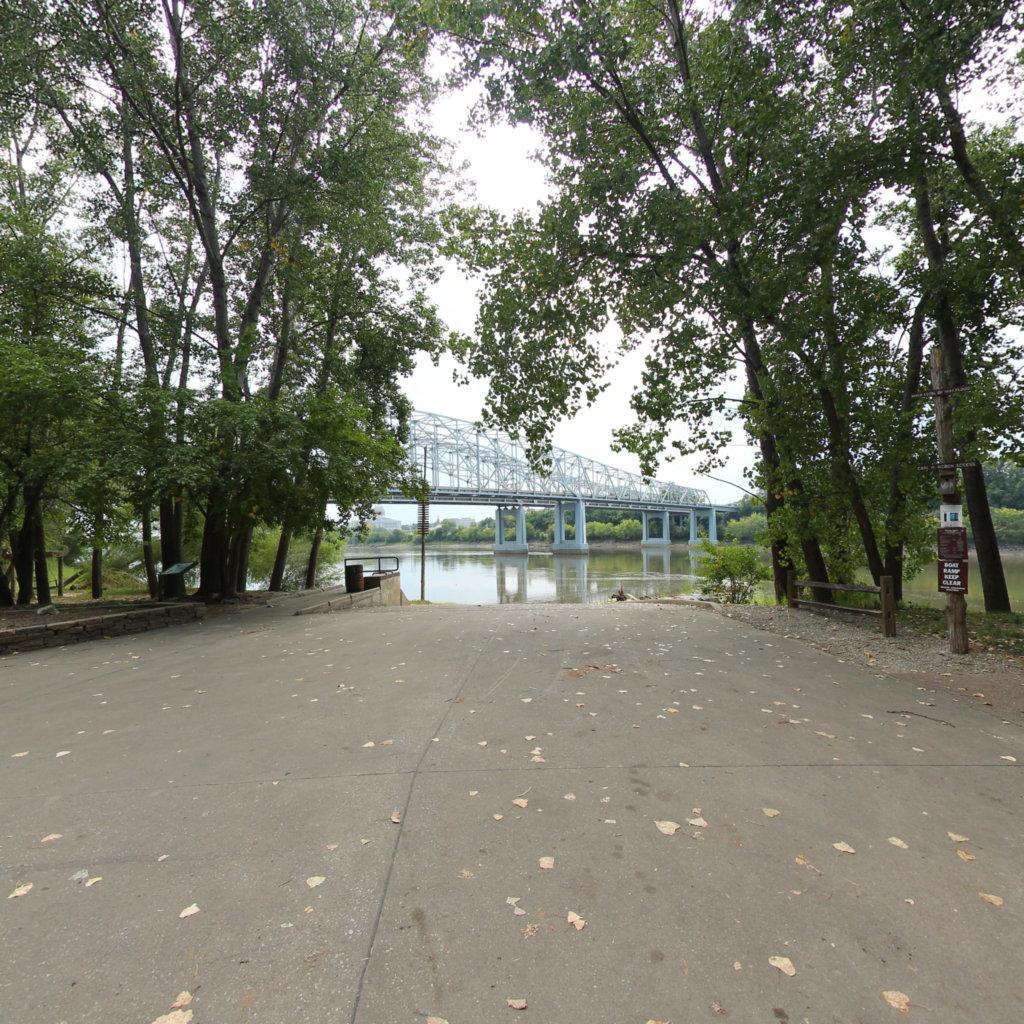
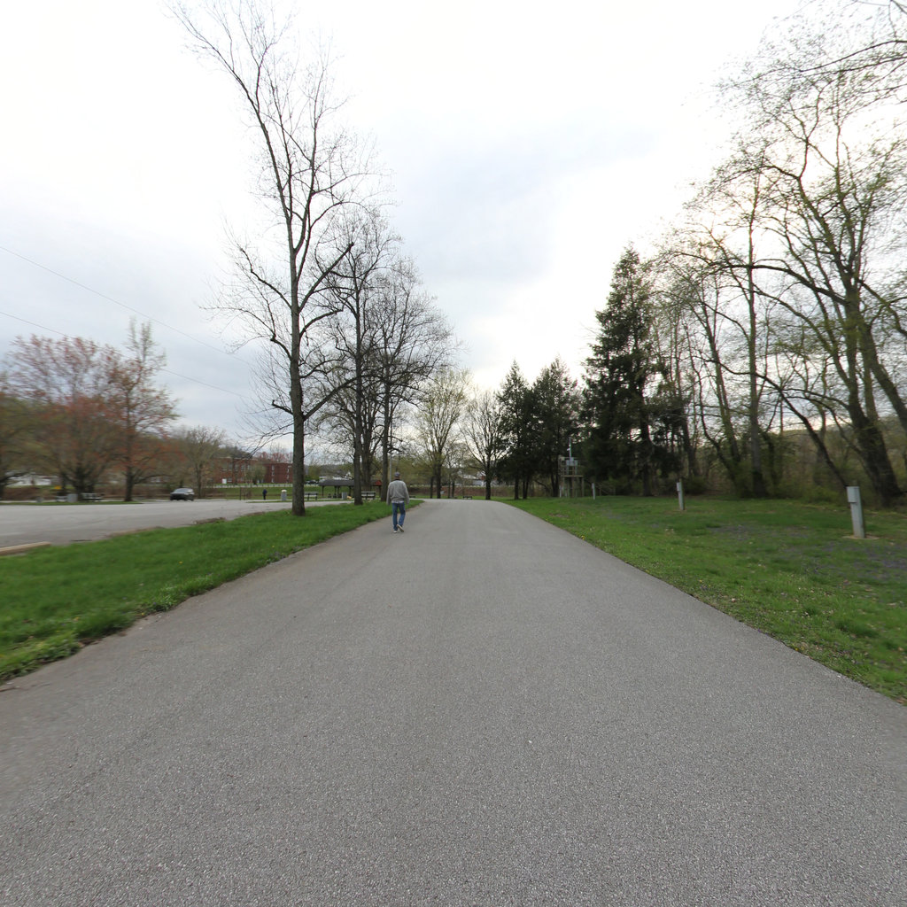
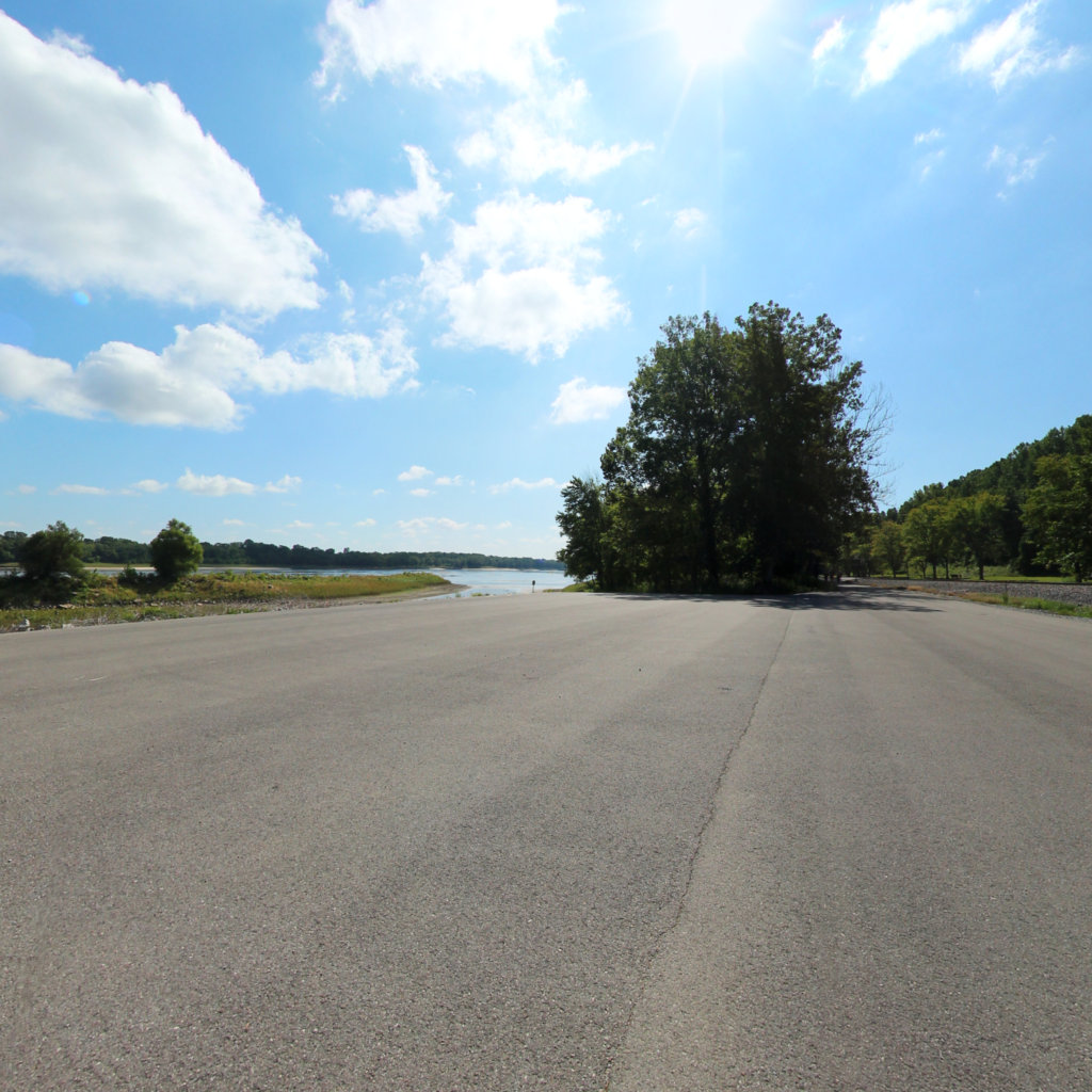
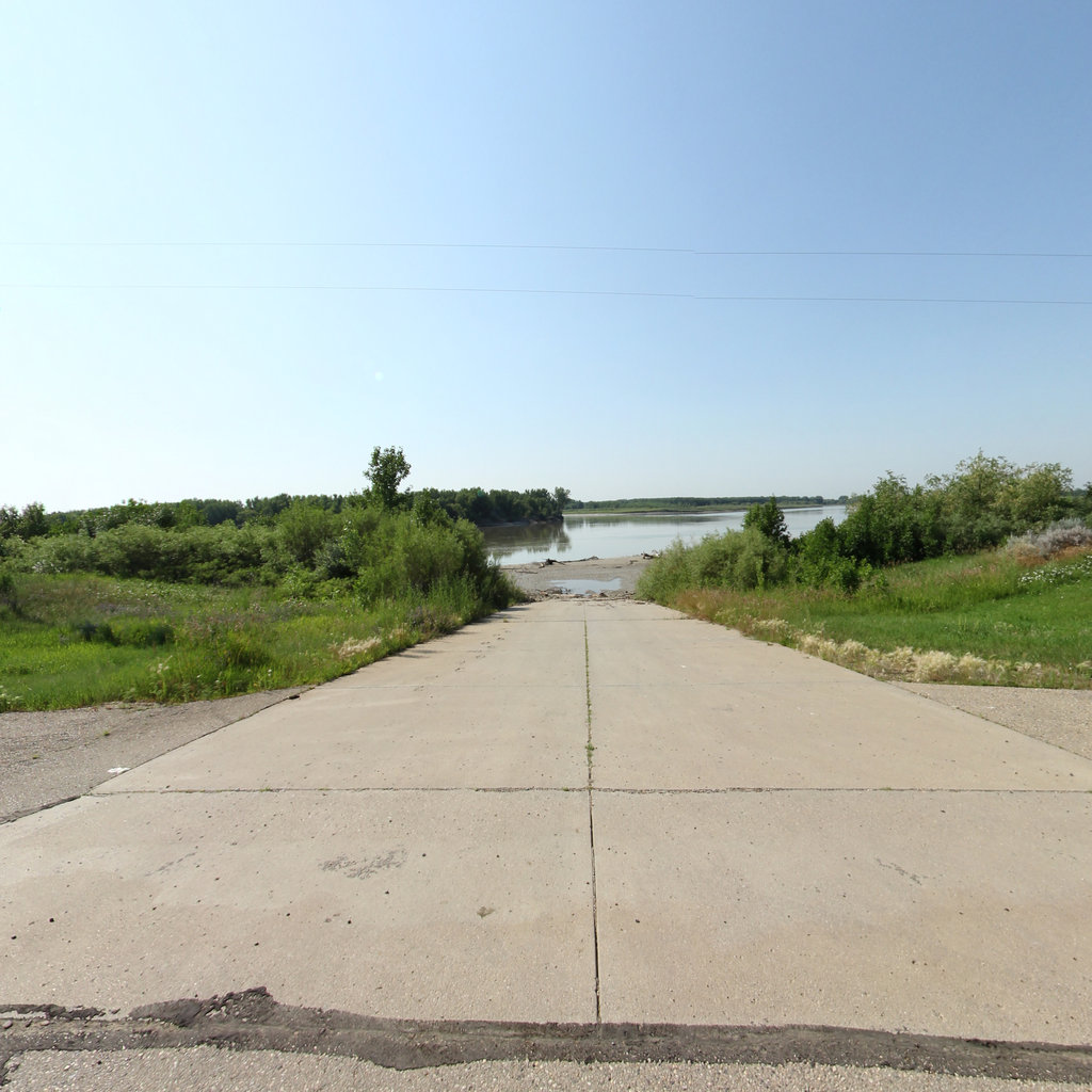
The expedition began here on August 31, 1803 — Lewis started the keelboat down the Ohio the same day it left the boatyard.
 2
Oct 14, 1803
2
Oct 14, 1803
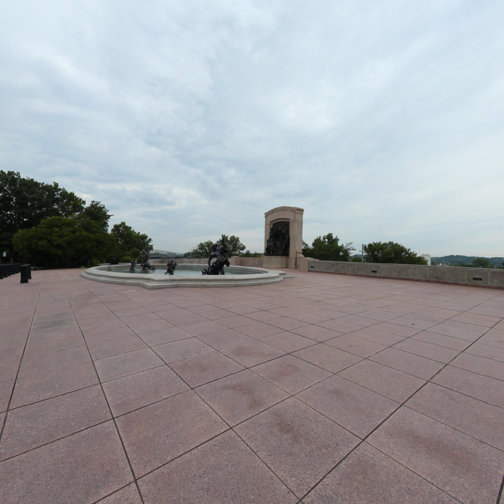
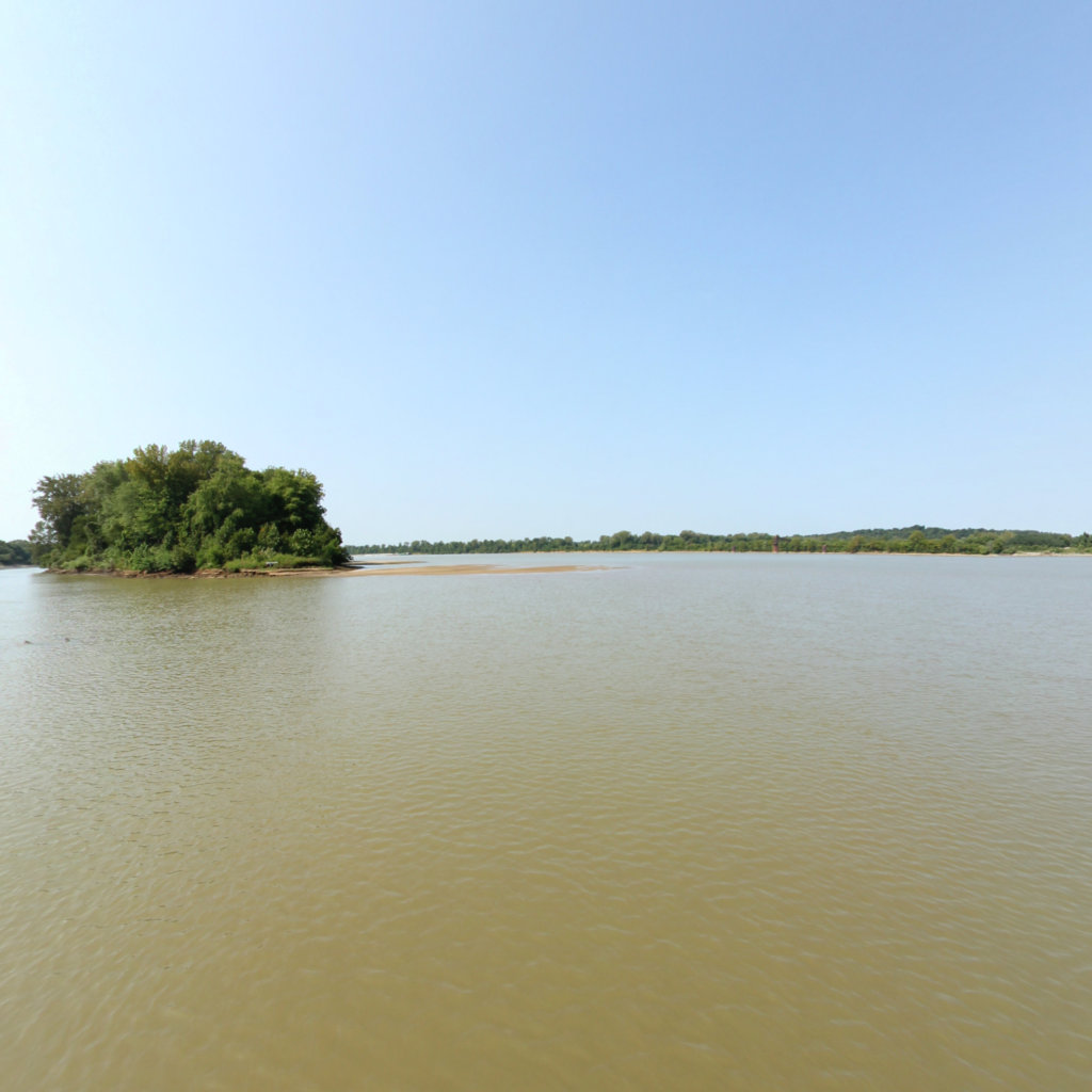
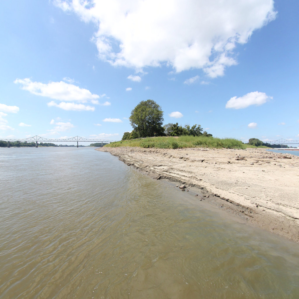
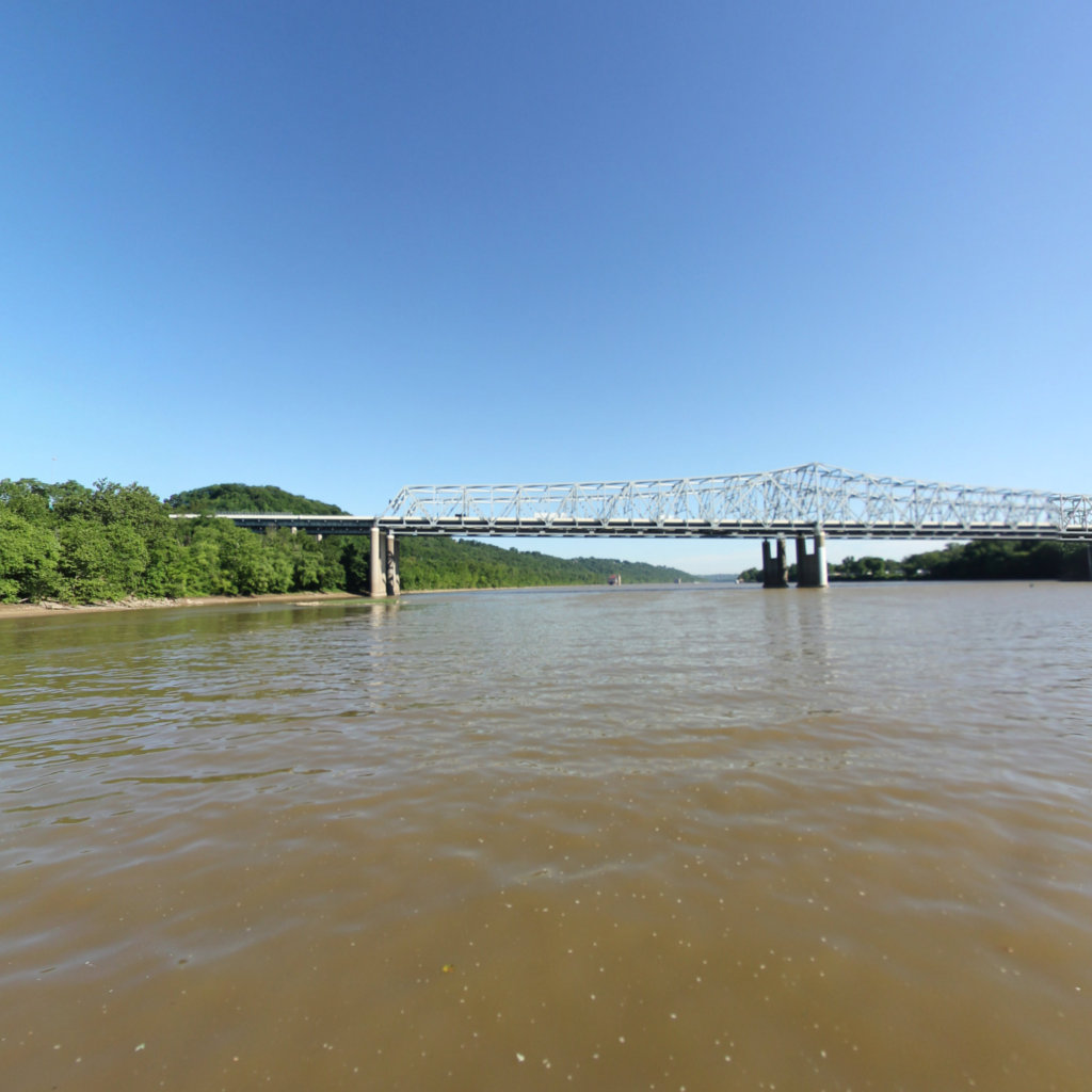
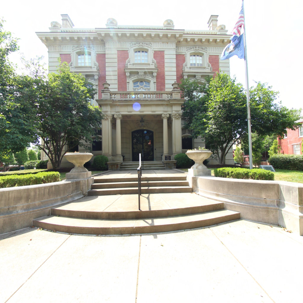
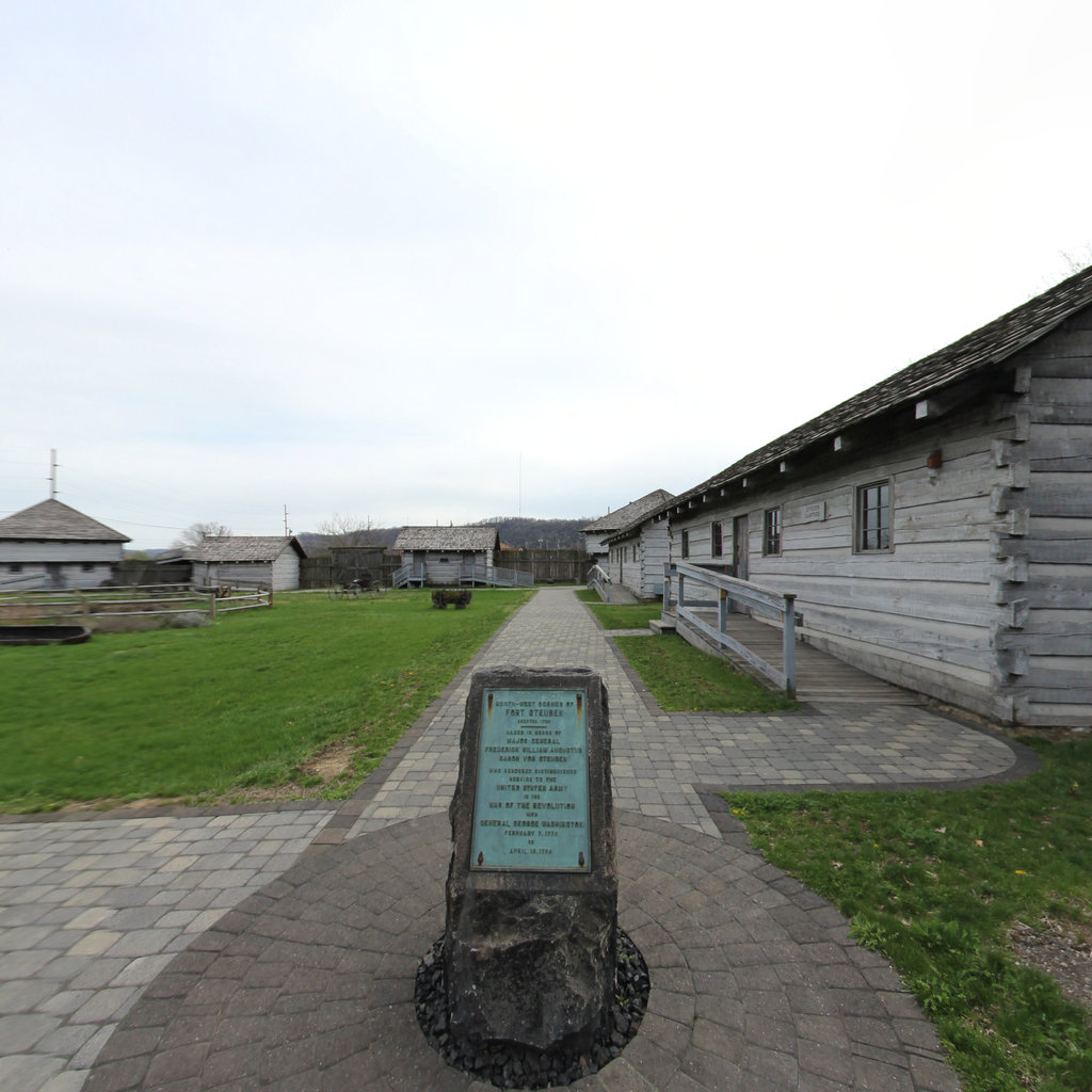
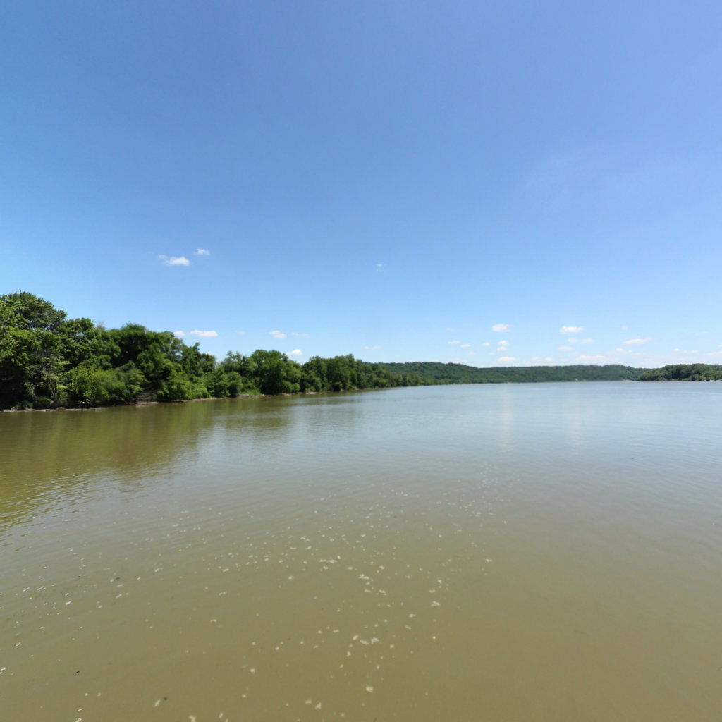
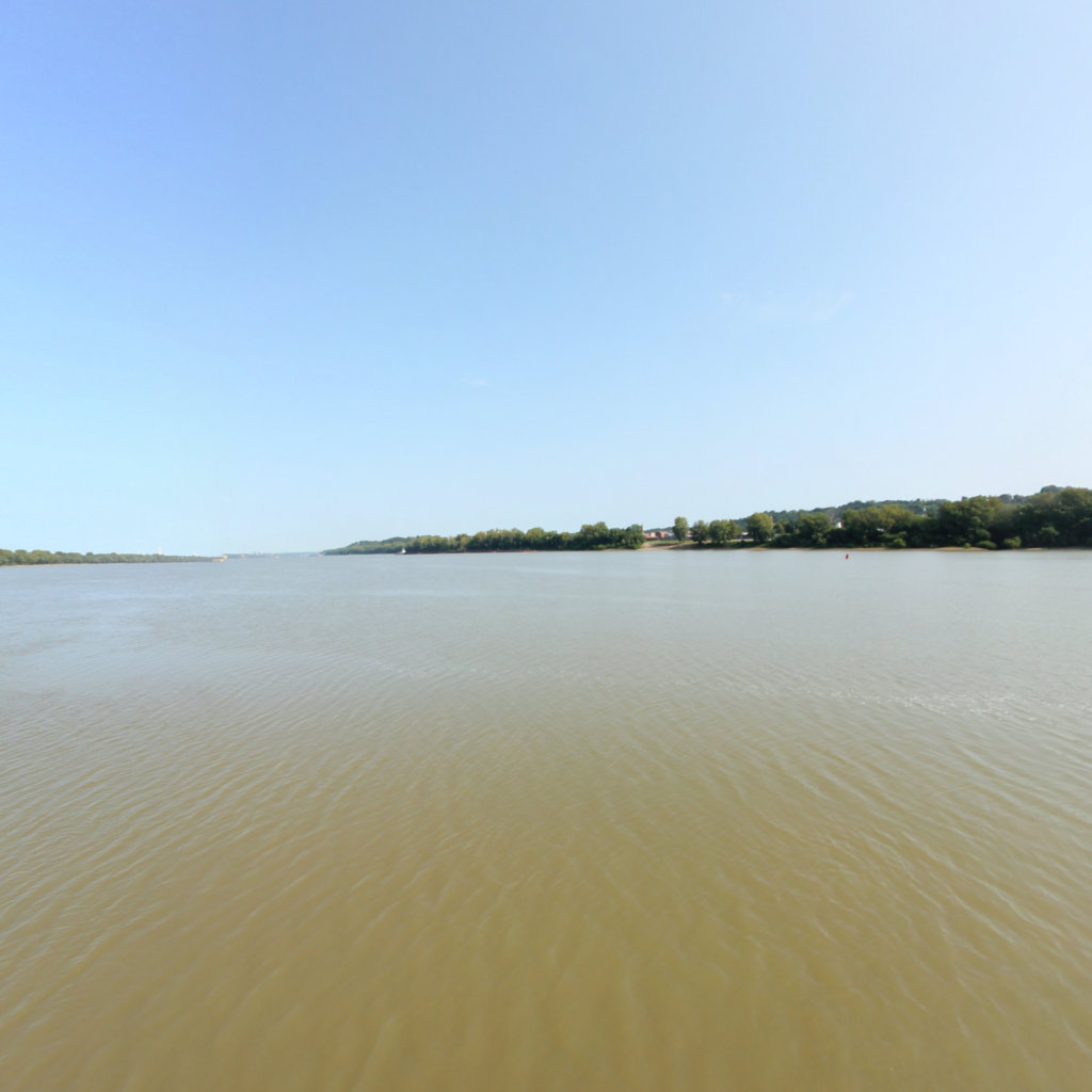
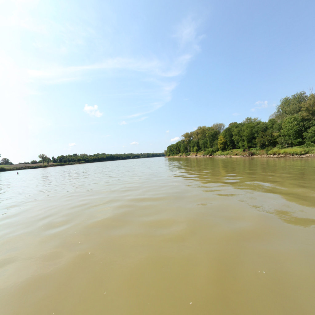
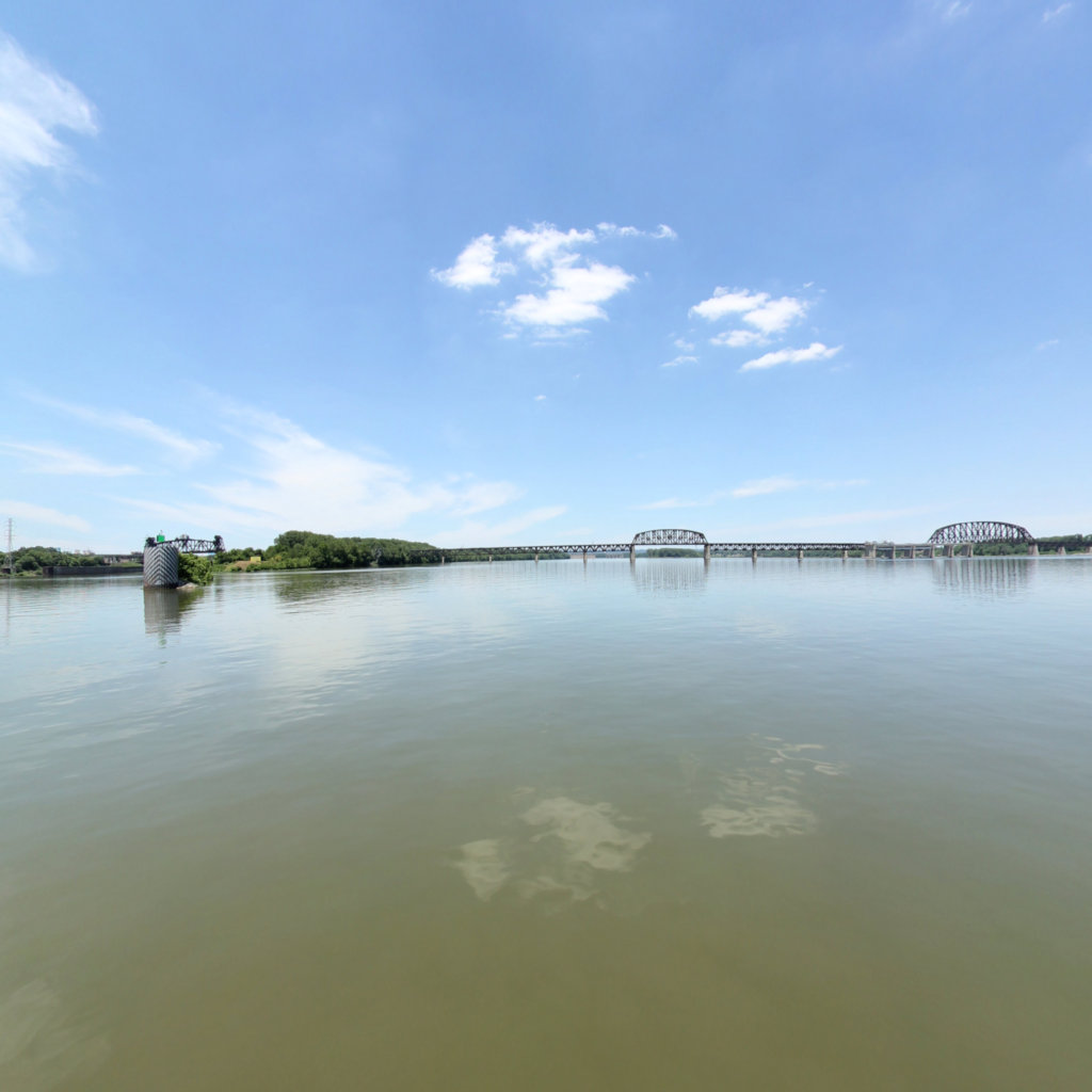
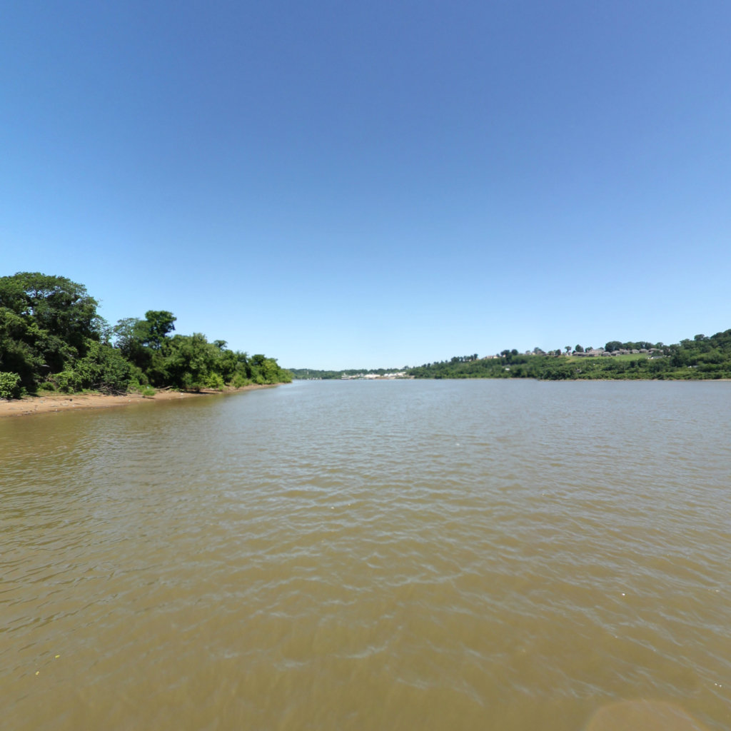
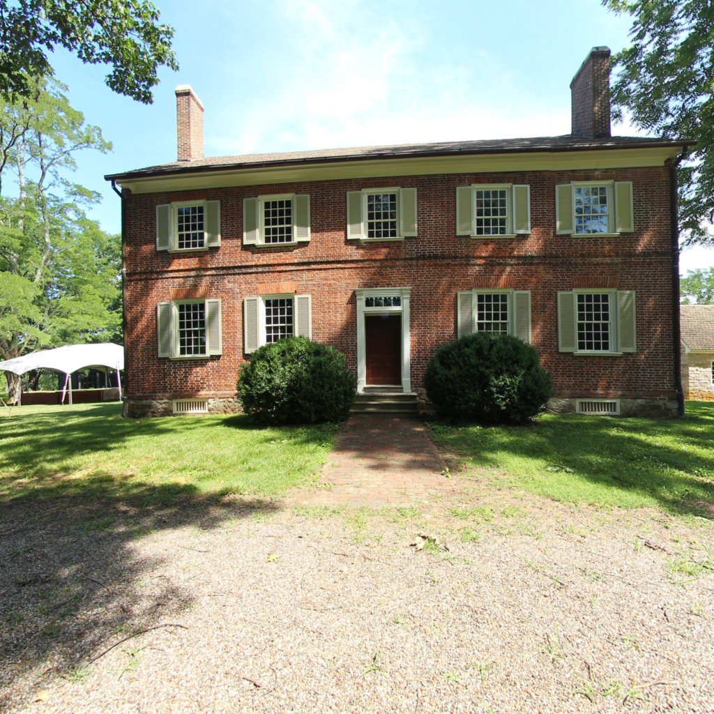
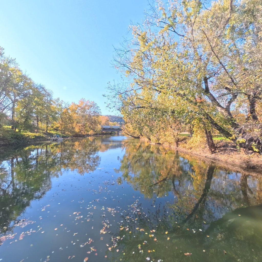
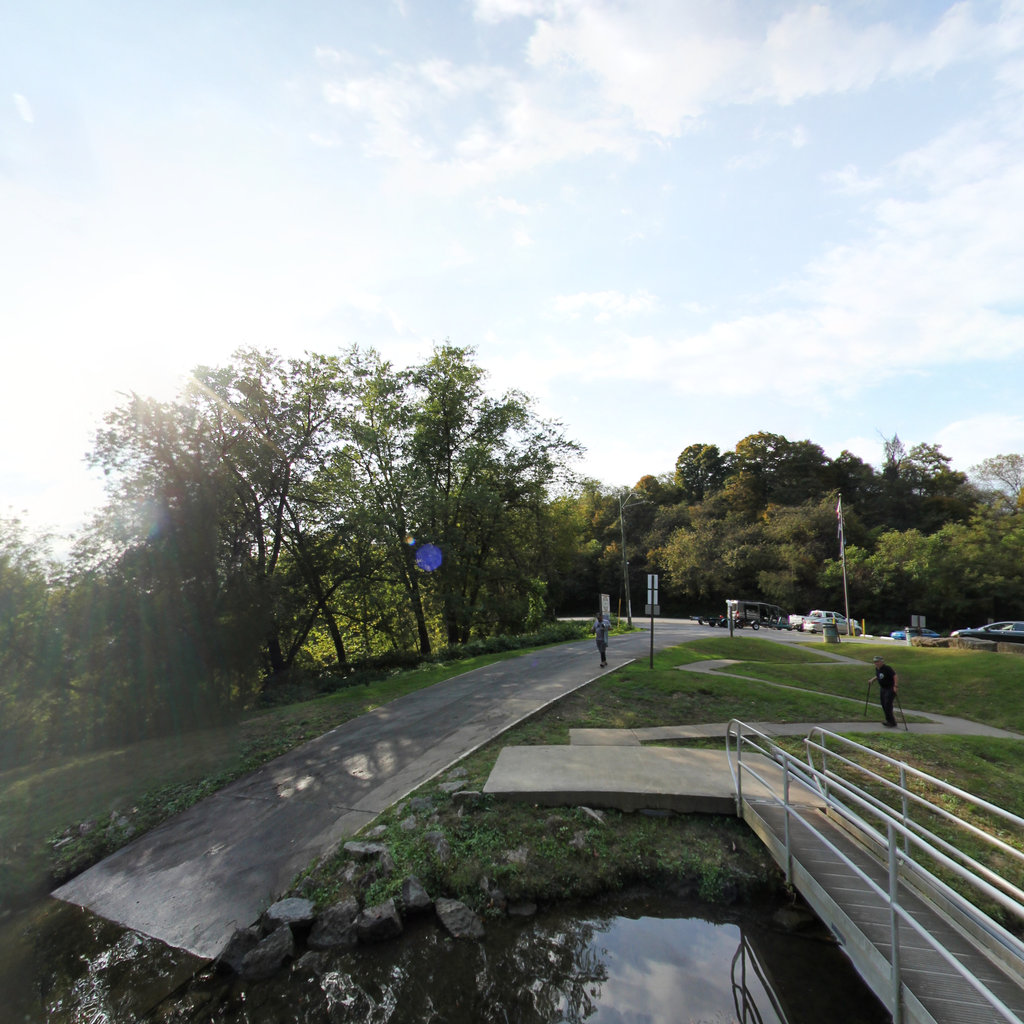
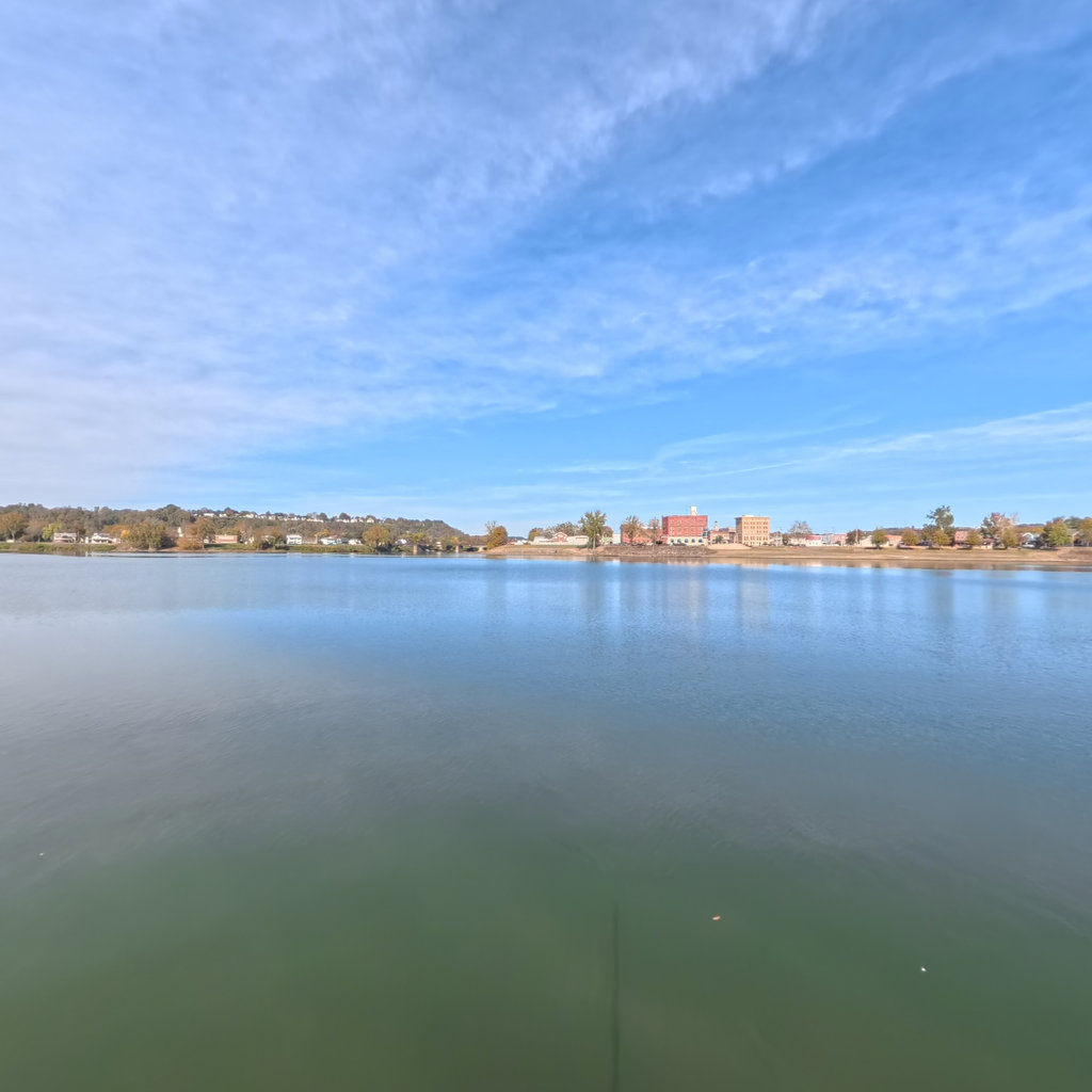
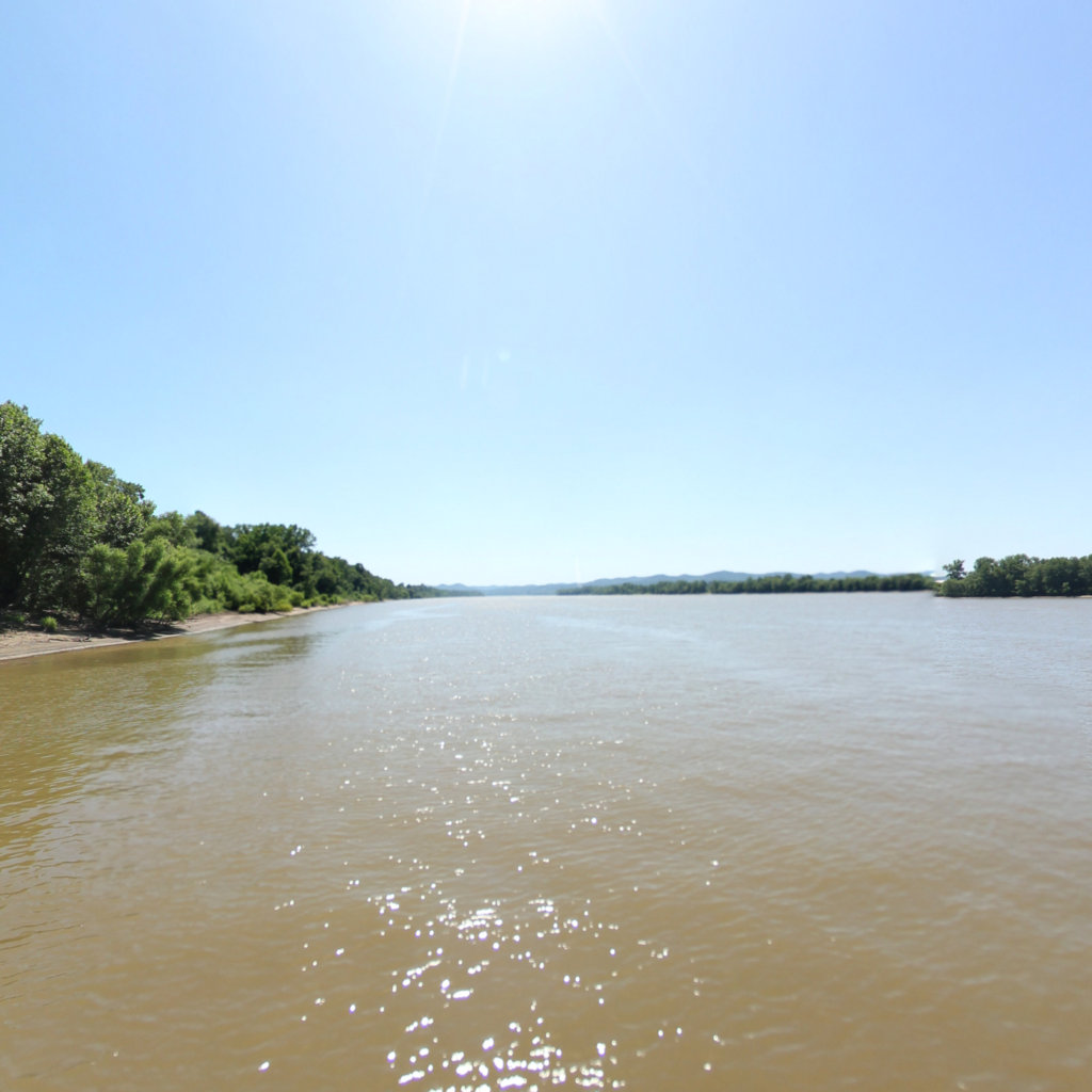
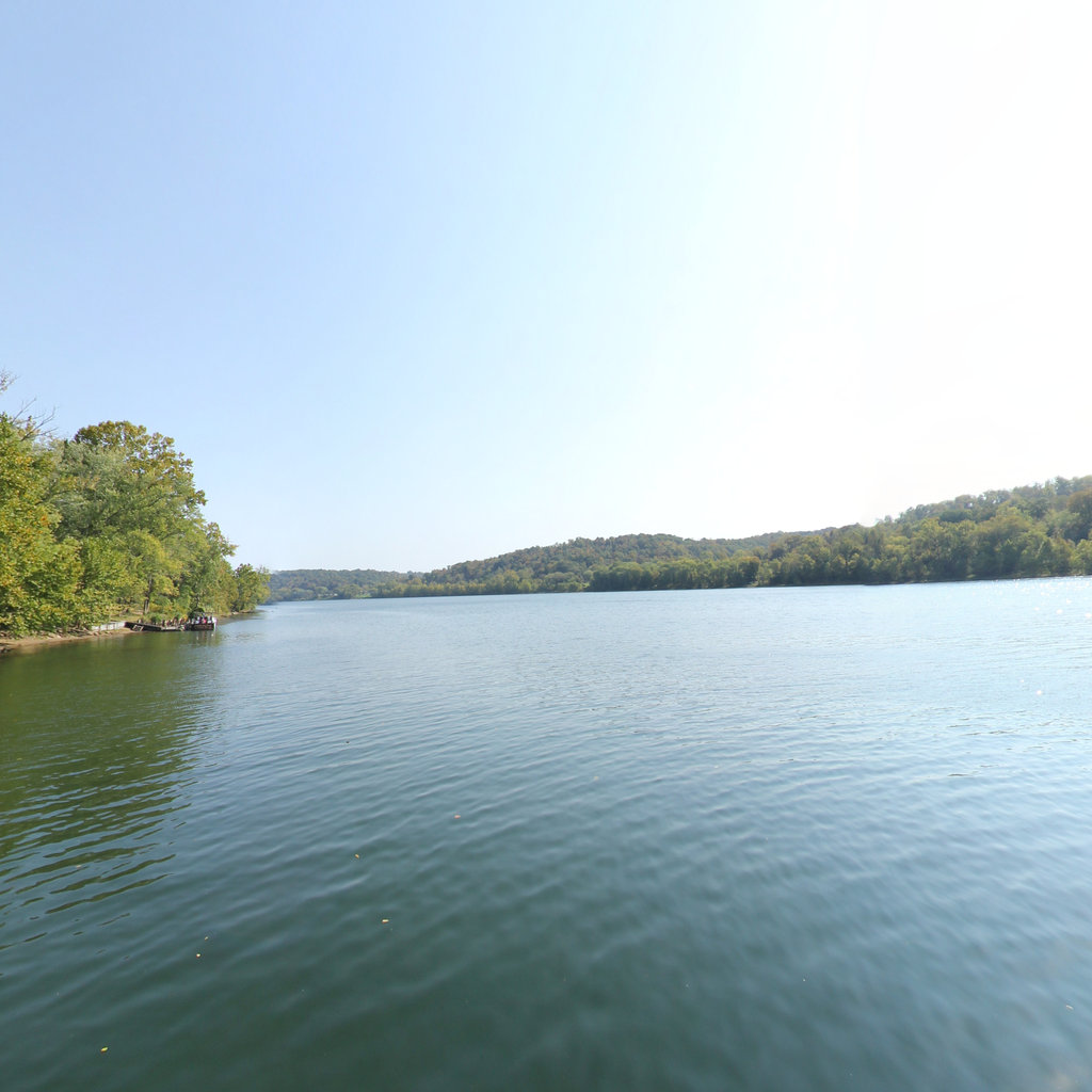
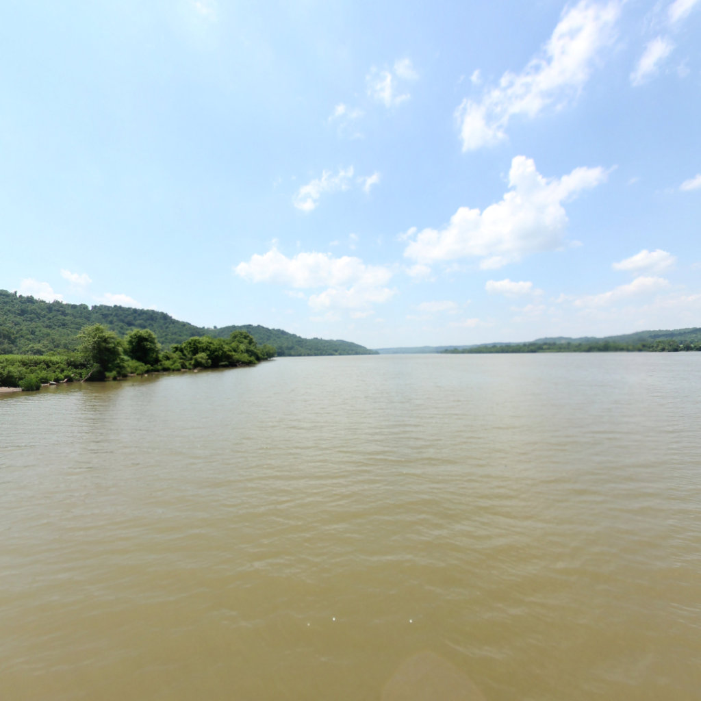
Lewis joined Clark near the Falls of the Ohio in October 1803 — the partnership, and the Corps, formed here.
 3
May 14, 1804
3
May 14, 1804
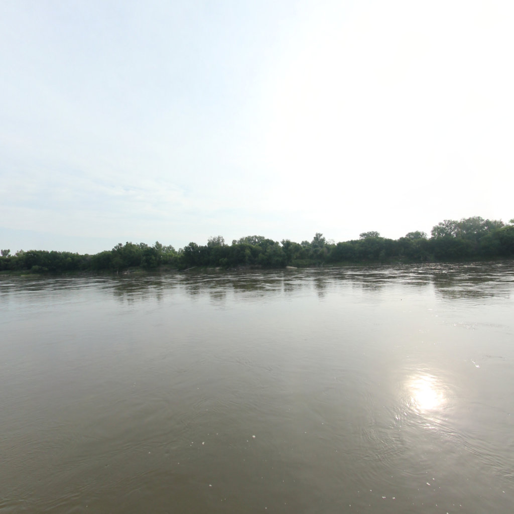
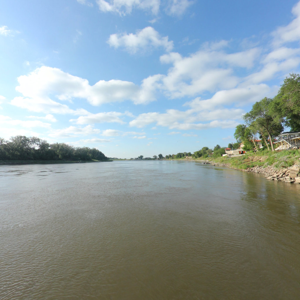
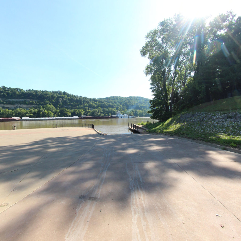
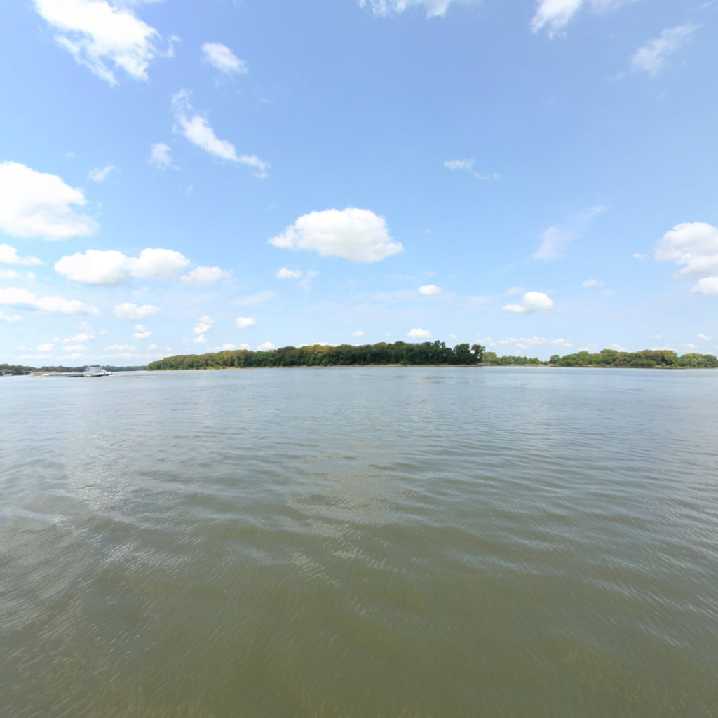
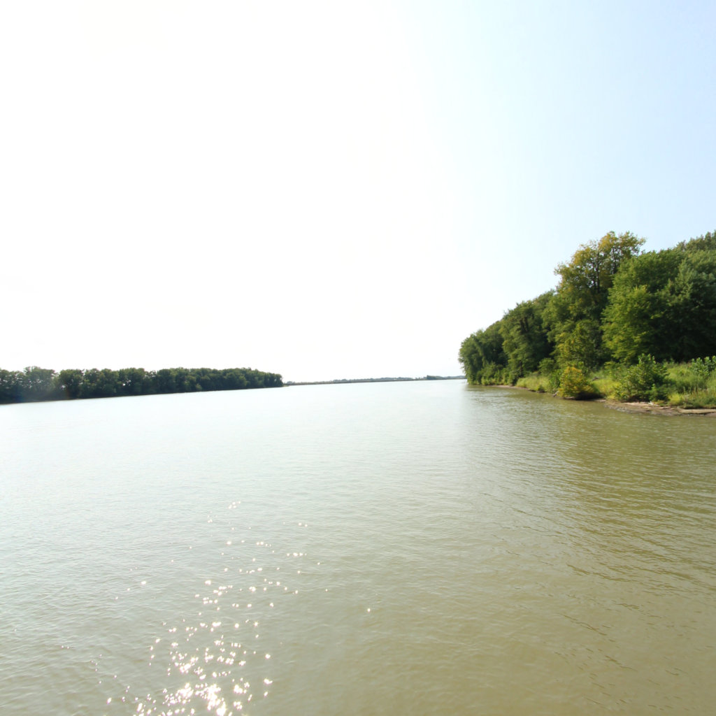
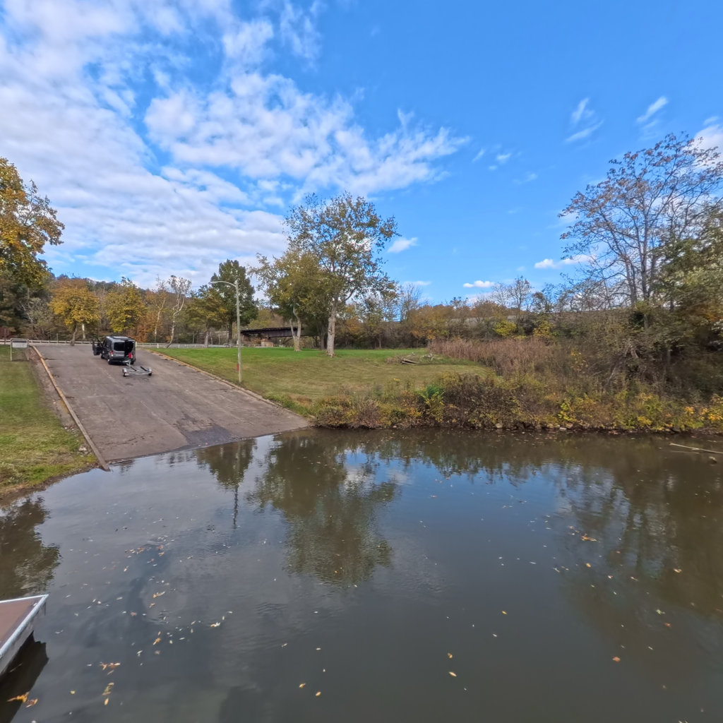
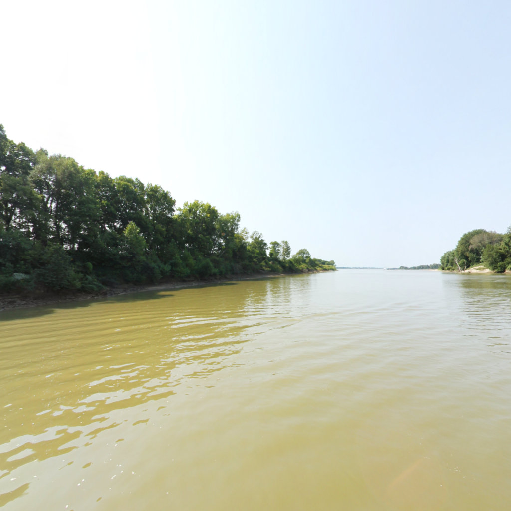
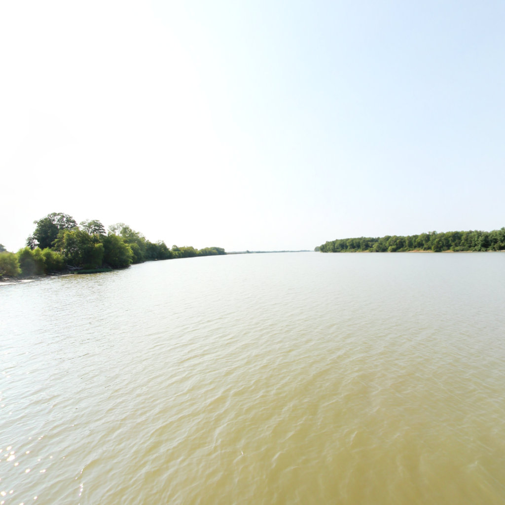
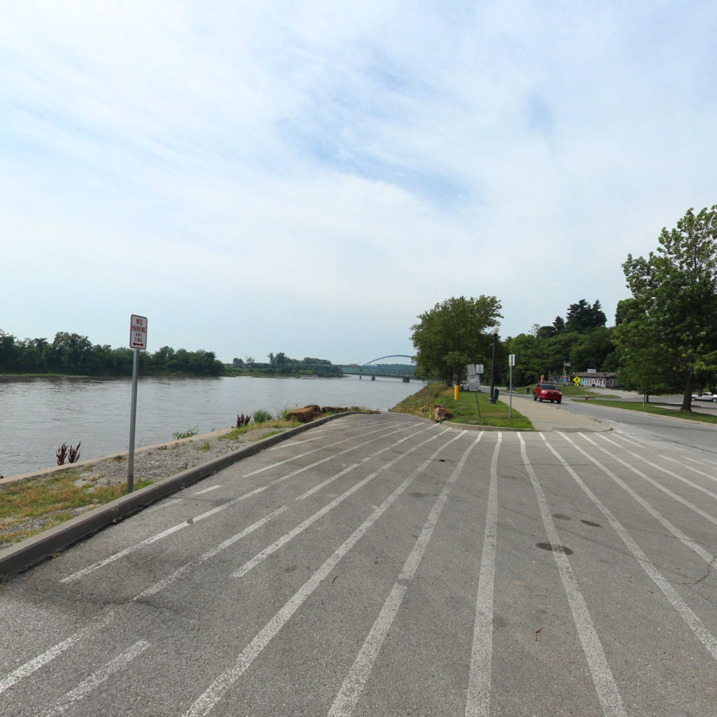
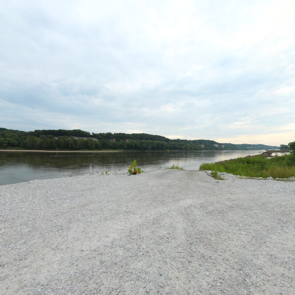
After a winter of drills at Camp River Dubois, the Corps crossed the Mississippi and started up the Missouri on May 14, 1804.
 4
Jun 26, 1804
4
Jun 26, 1804
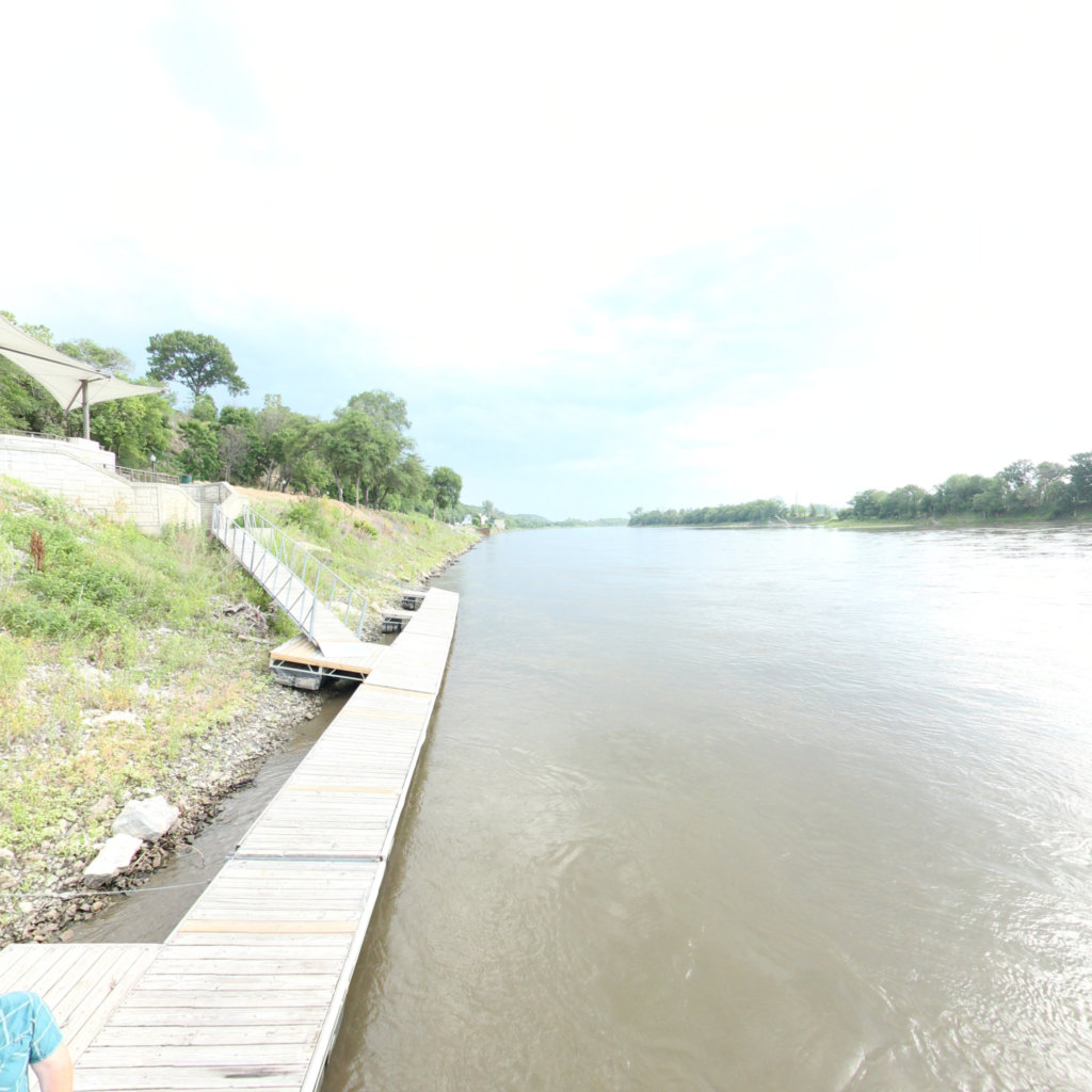
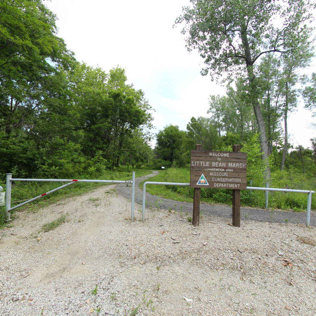
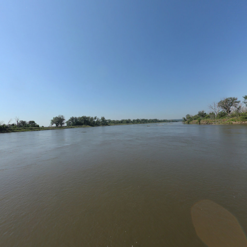
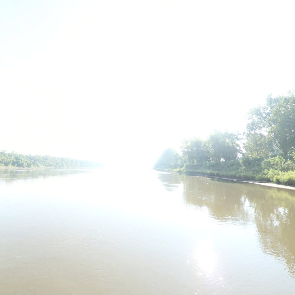
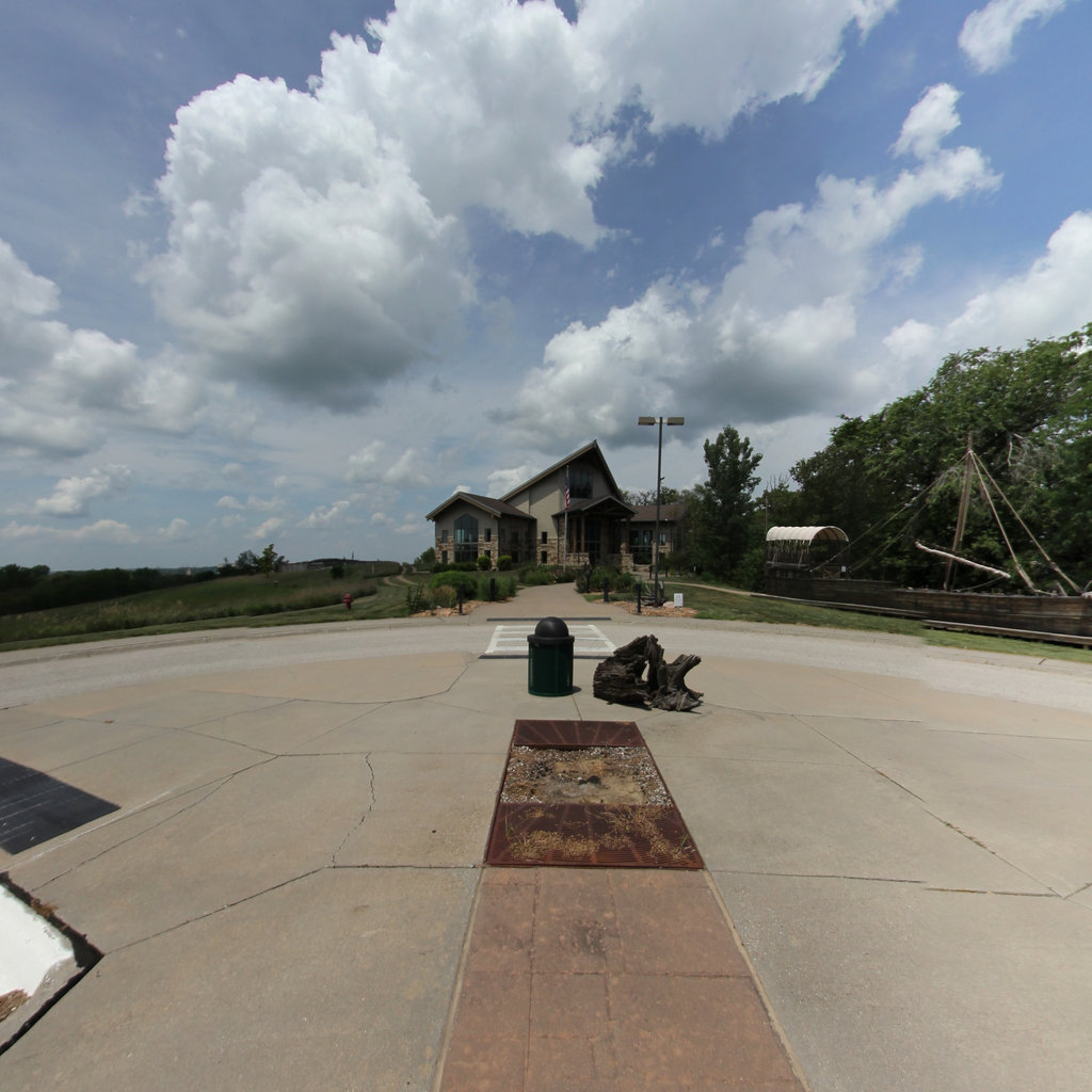
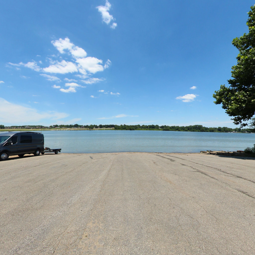
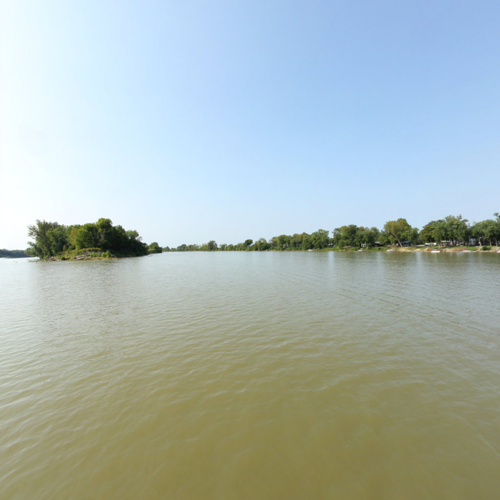
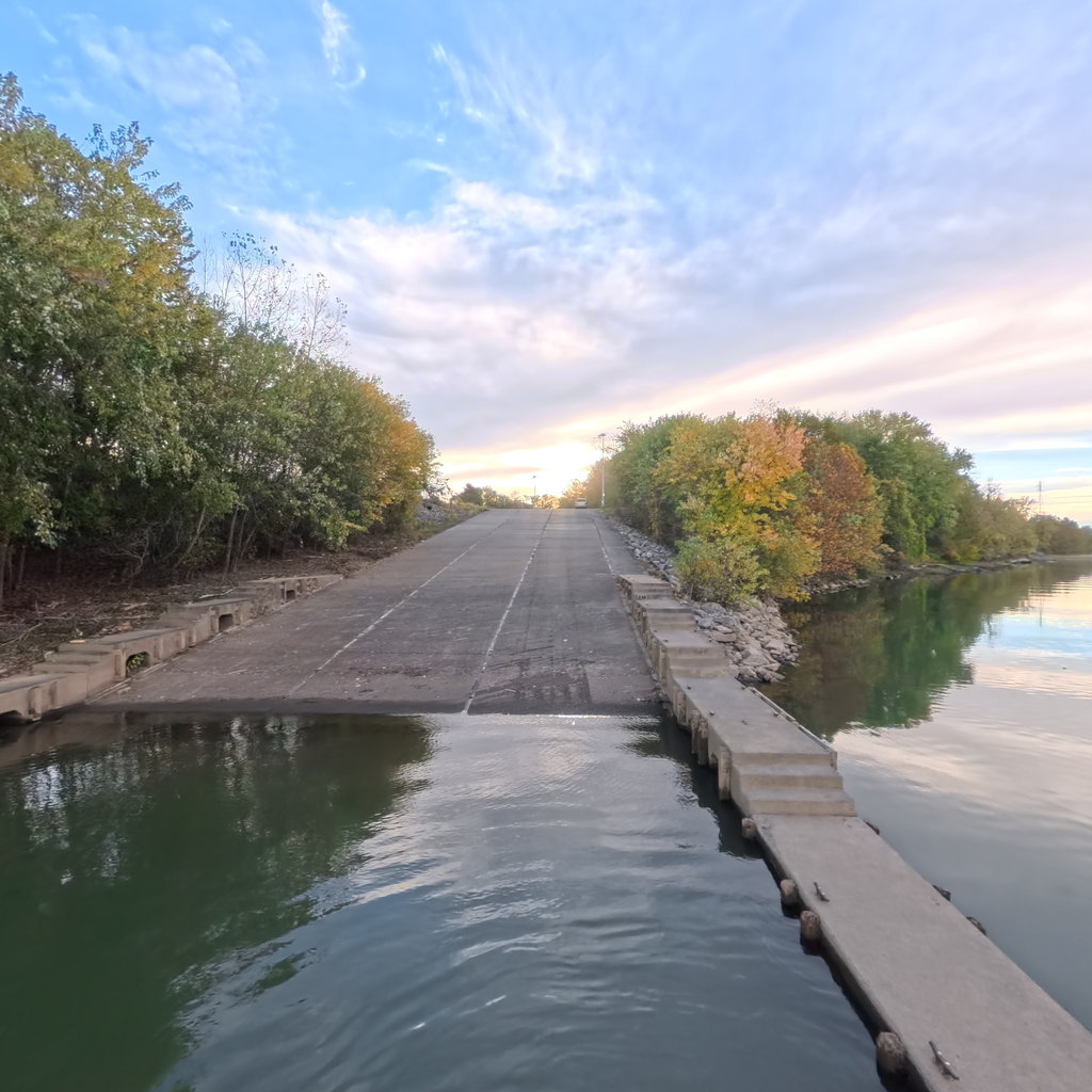
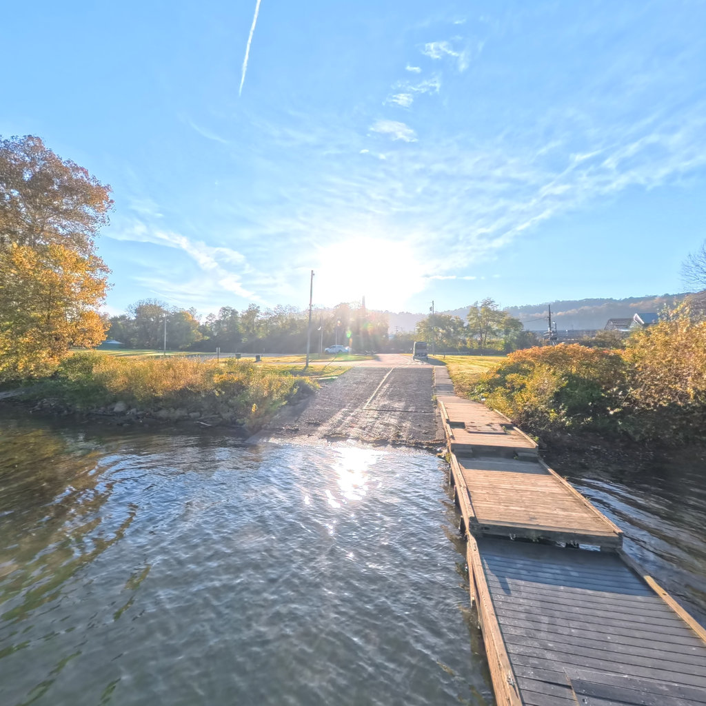
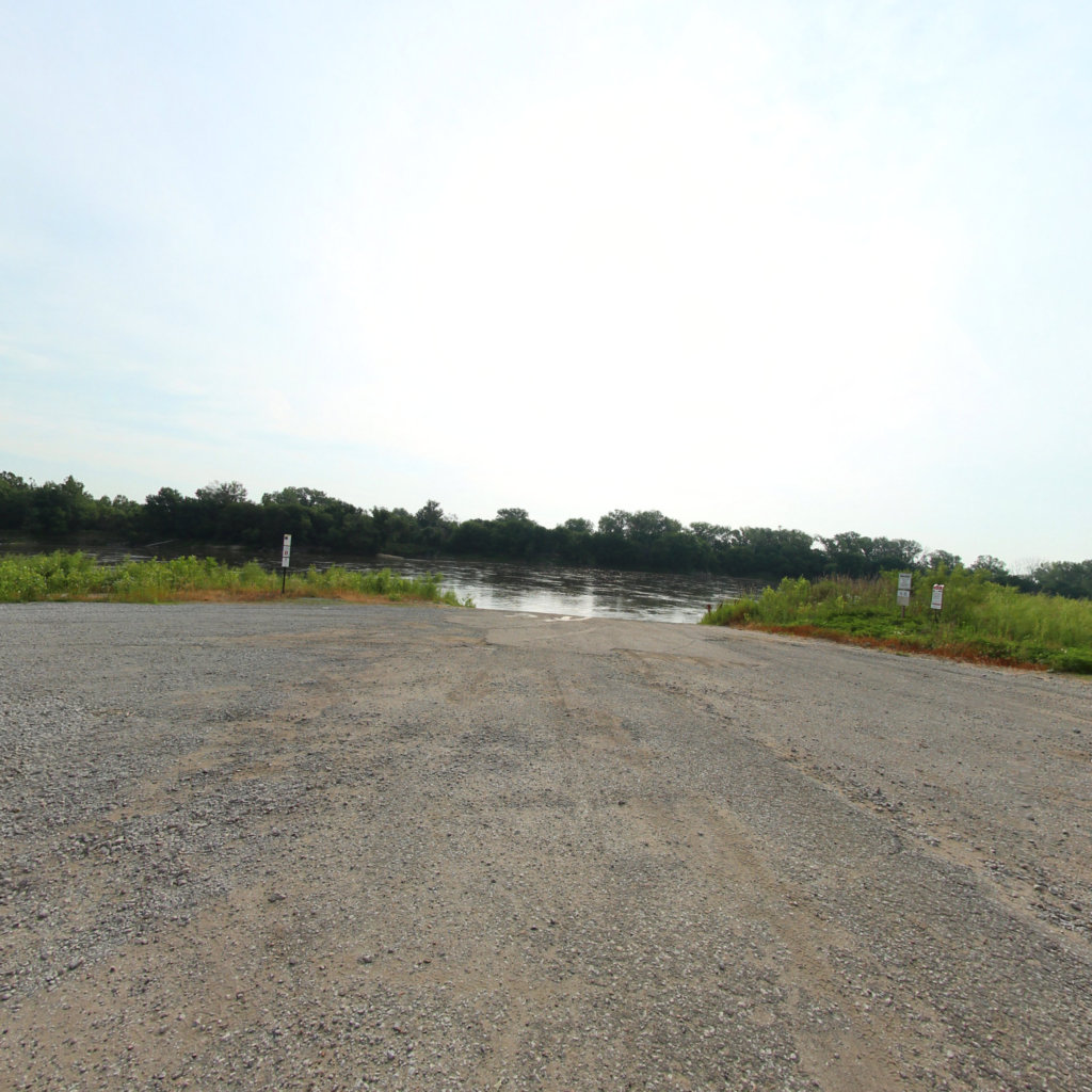
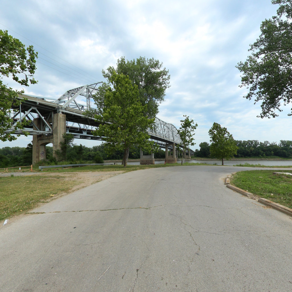
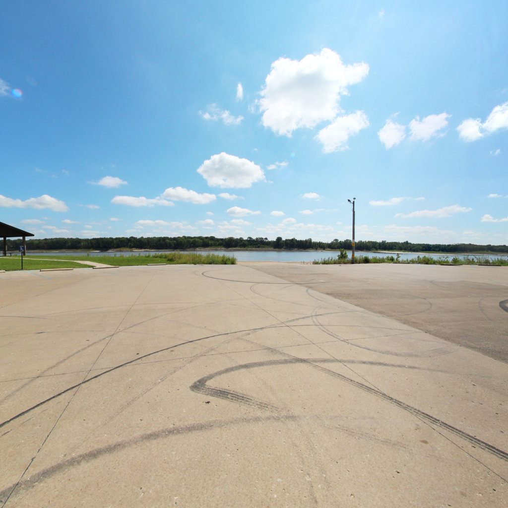
The Corps camped at the mouth of the Kansas River in late June 1804 to dry stores and repair the boats.
 5
Aug 3, 1804
5
Aug 3, 1804
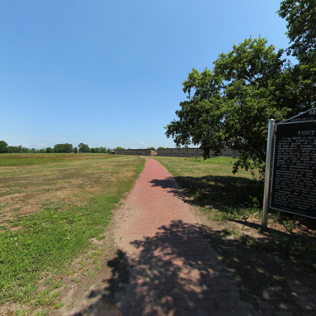
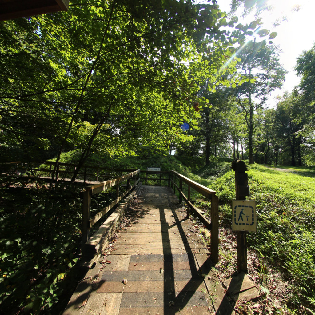
The expedition's first formal council with a Native nation — the Otoe and Missouria — was held on this bluff on August 3, 1804.
 6
Aug 20, 1804
6
Aug 20, 1804
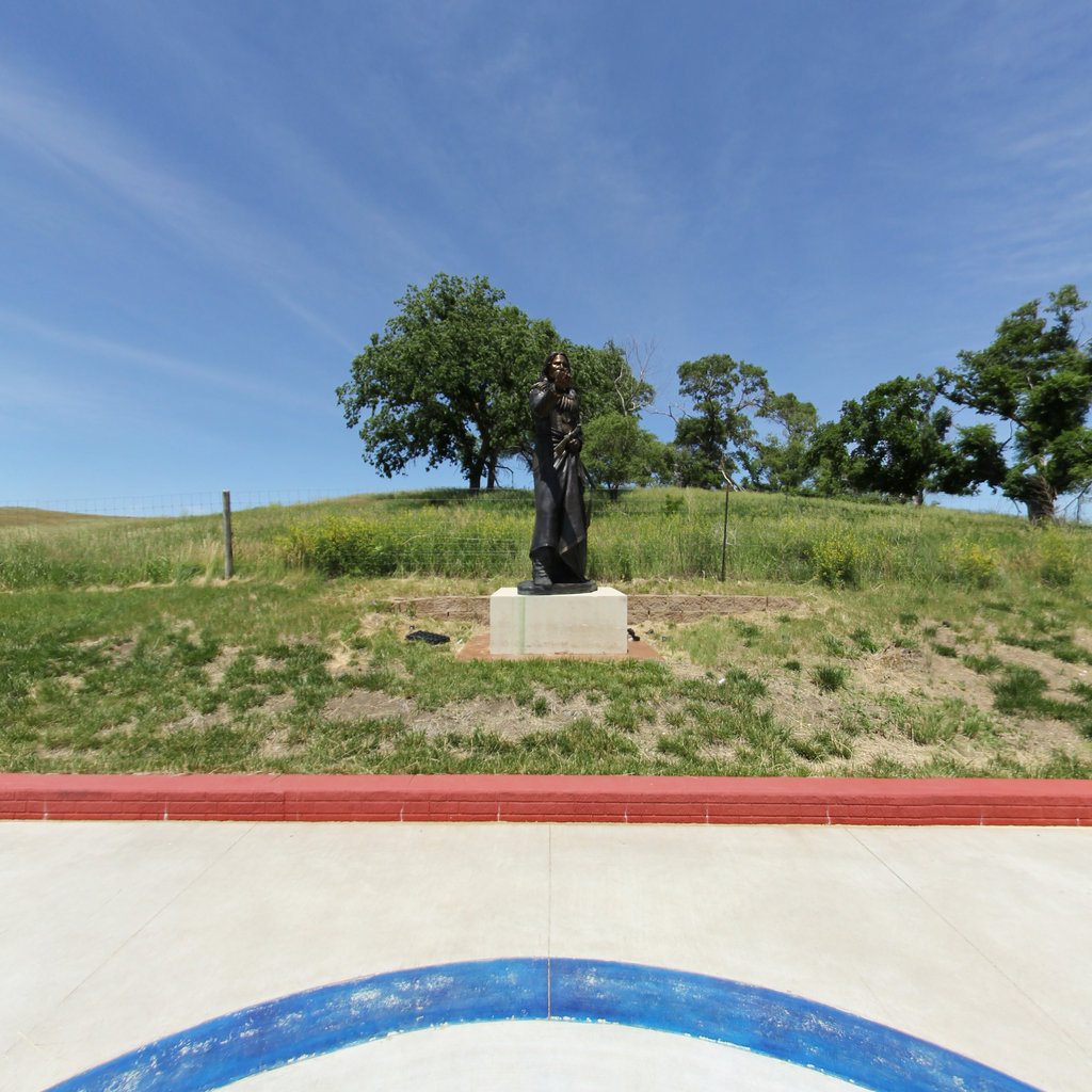
Sergeant Charles Floyd died near here on August 20, 1804 — the only member lost in twenty-eight months.
 7
Nov 2, 1804
7
Nov 2, 1804
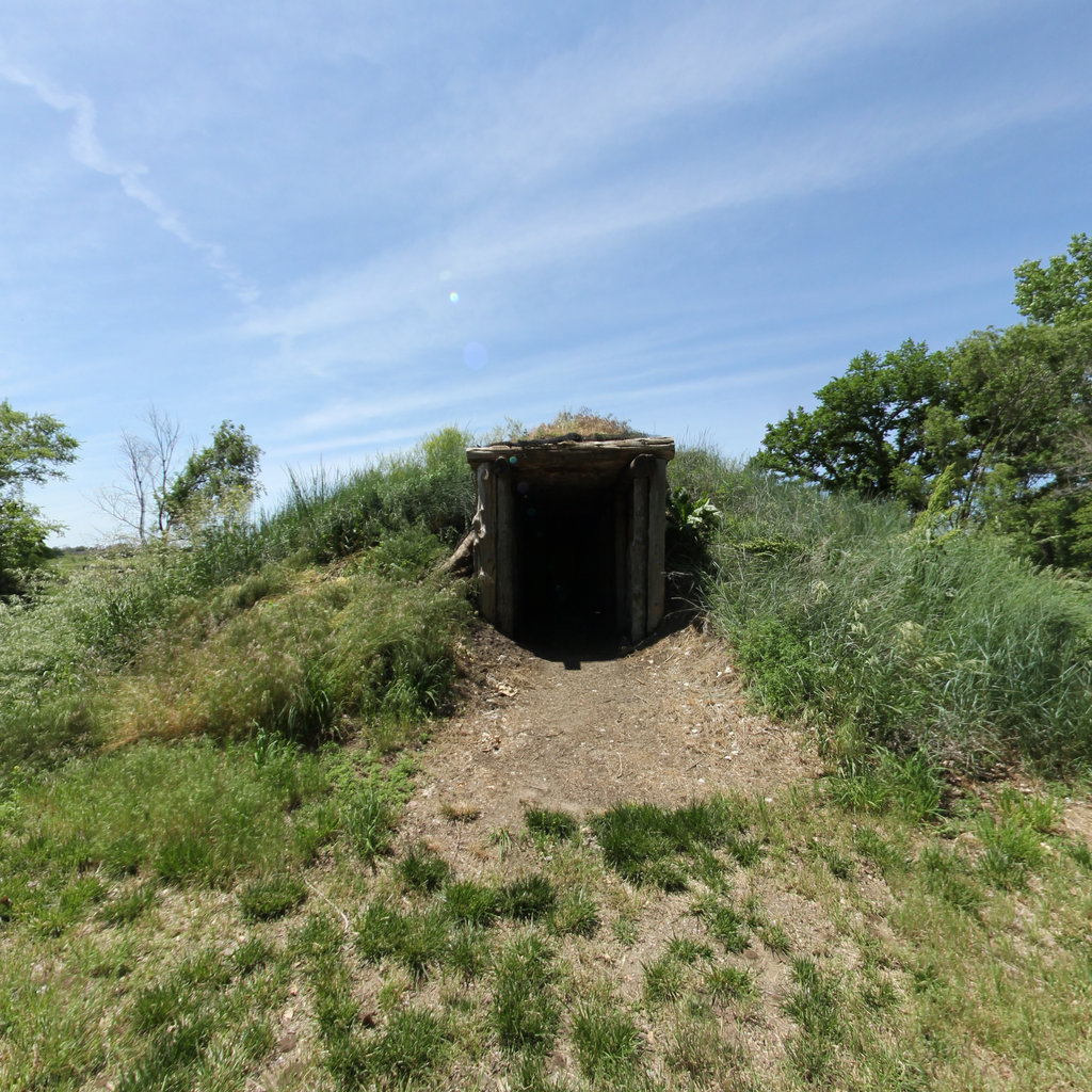
The Corps built Fort Mandan just downstream and wintered among the Mandan and Hidatsa; Sacagawea joined the expedition here.
 8
May 28, 1805
8
May 28, 1805
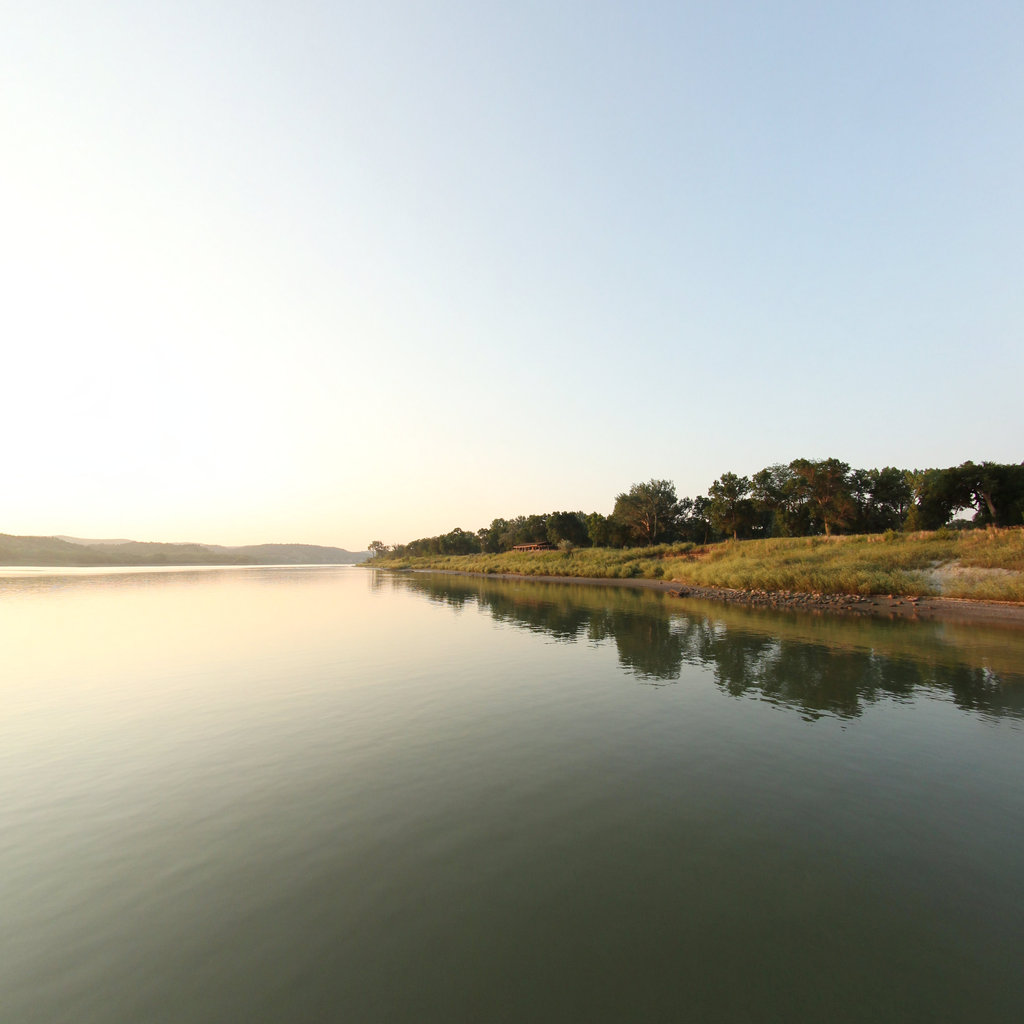
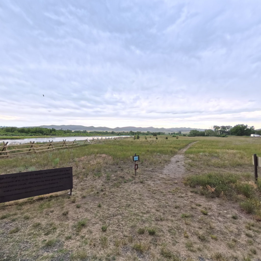
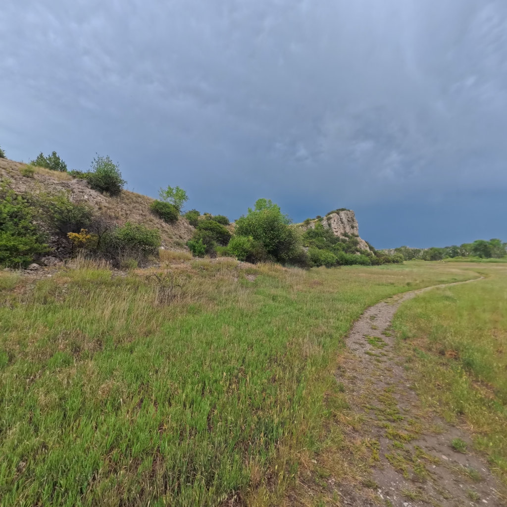
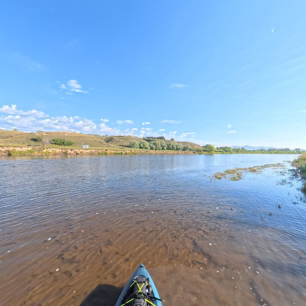
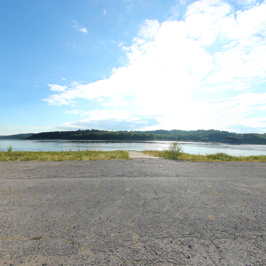
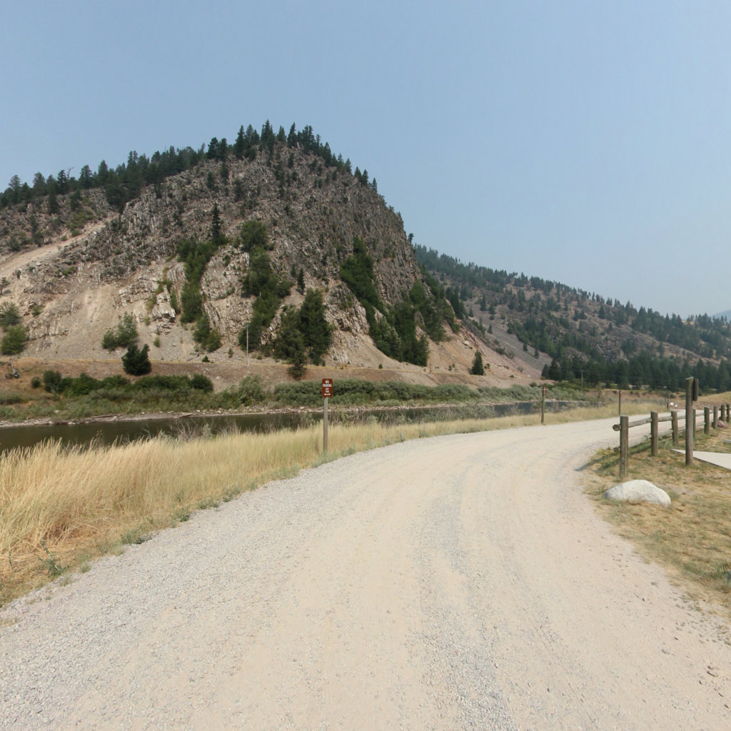
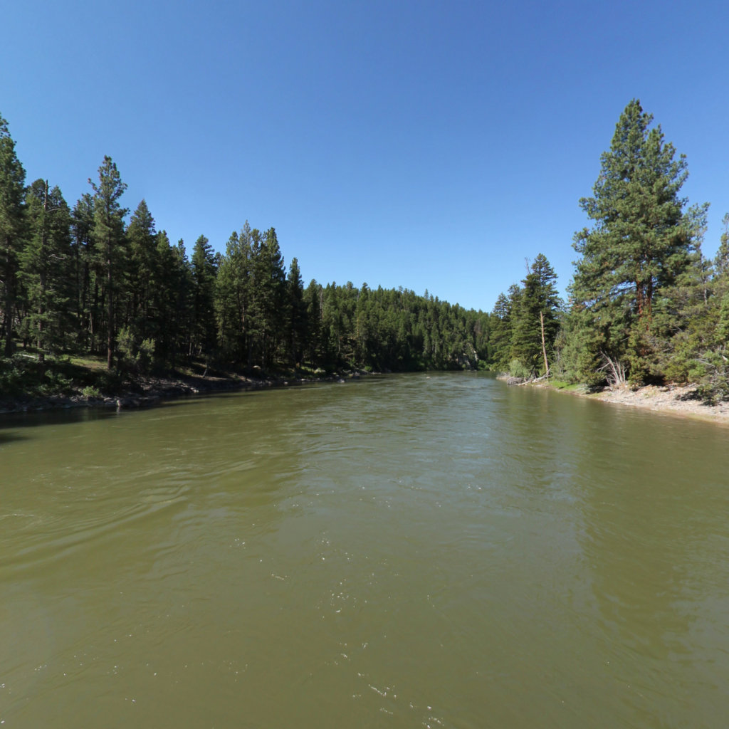
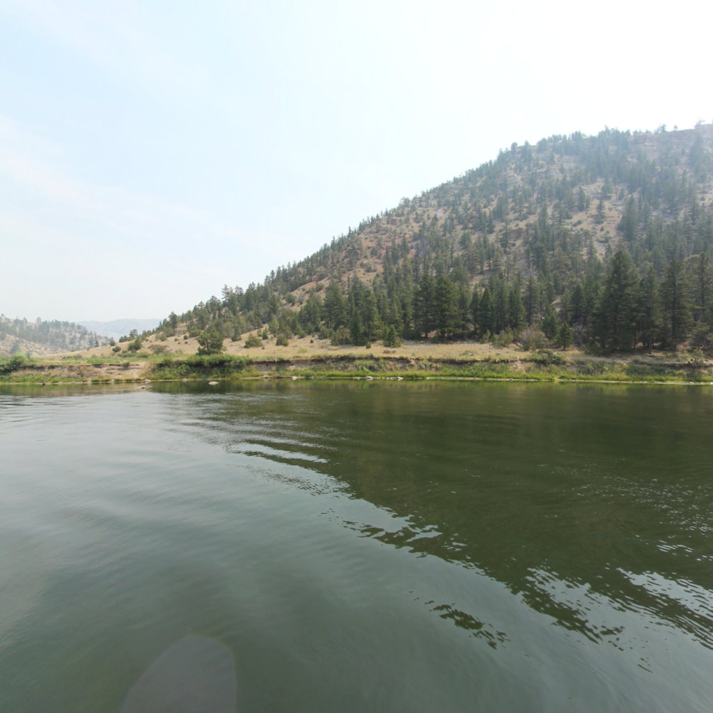
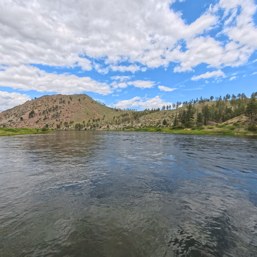
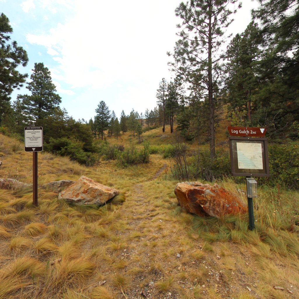
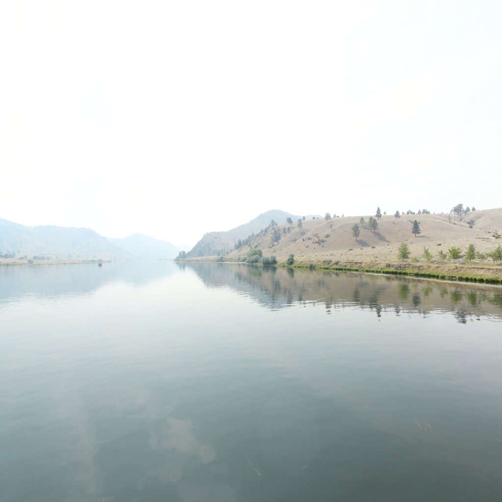
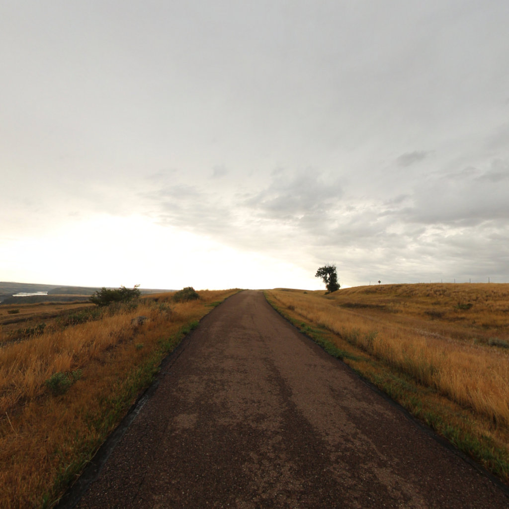
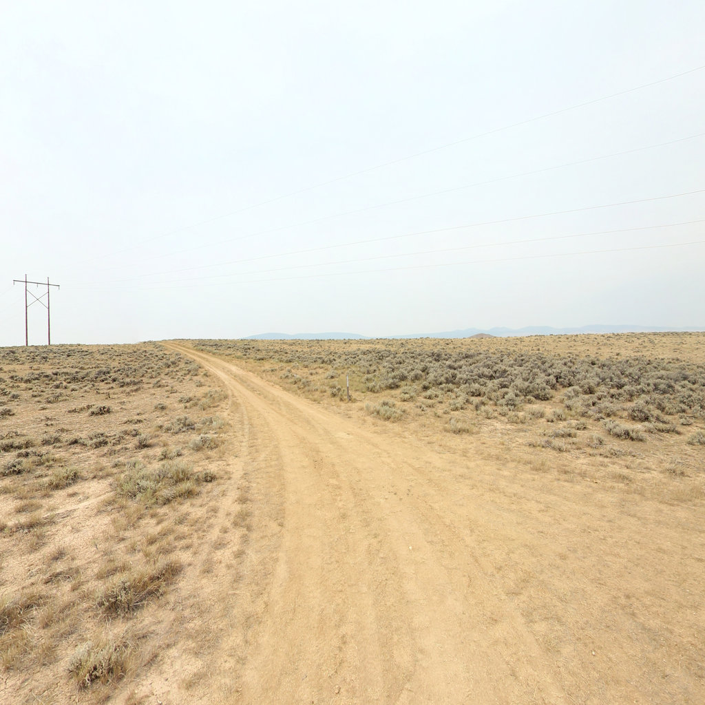
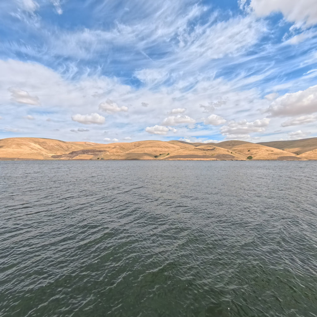
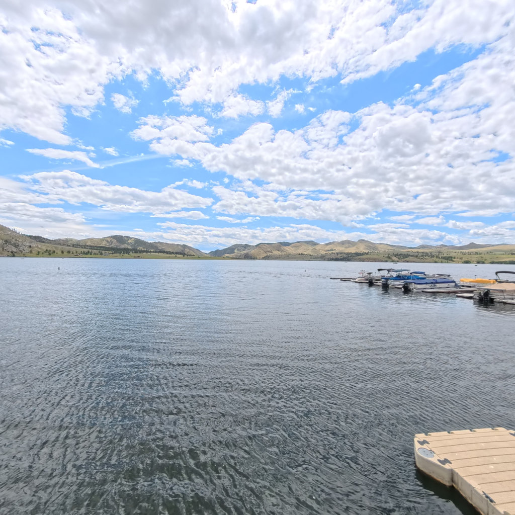
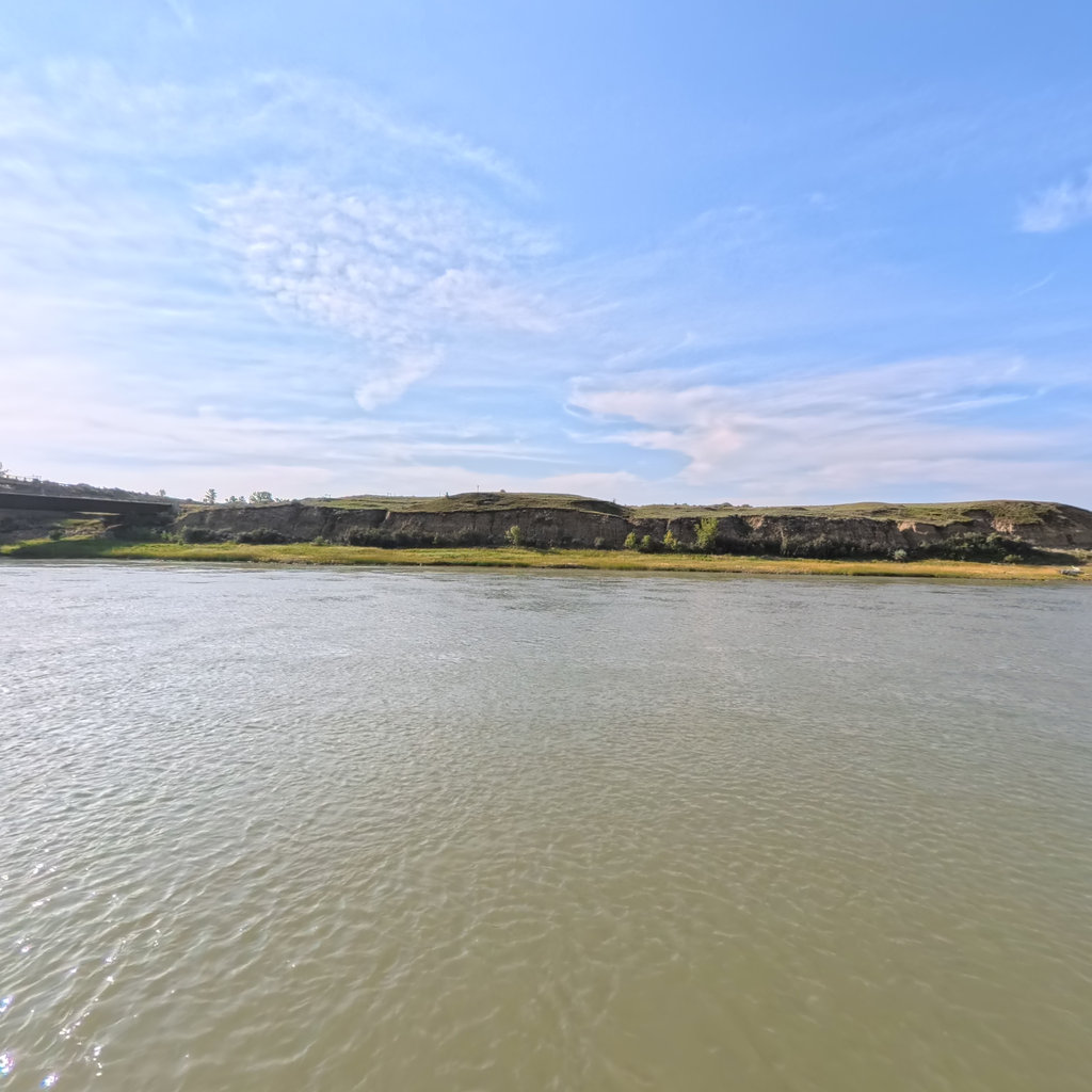
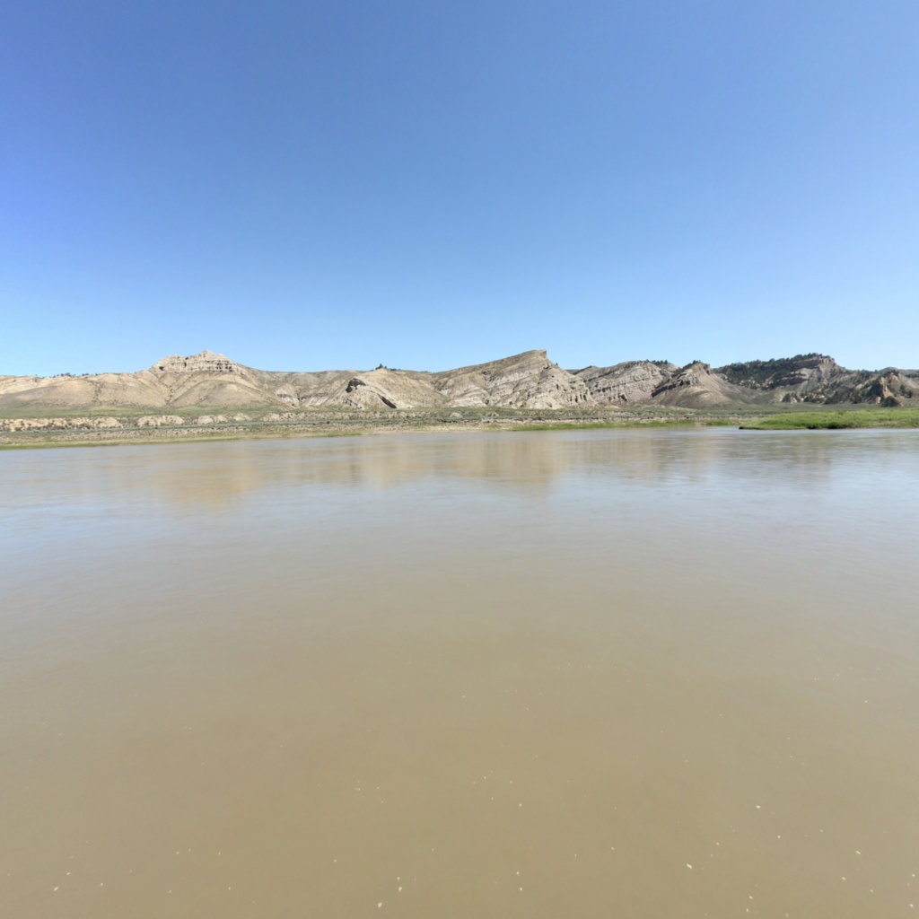
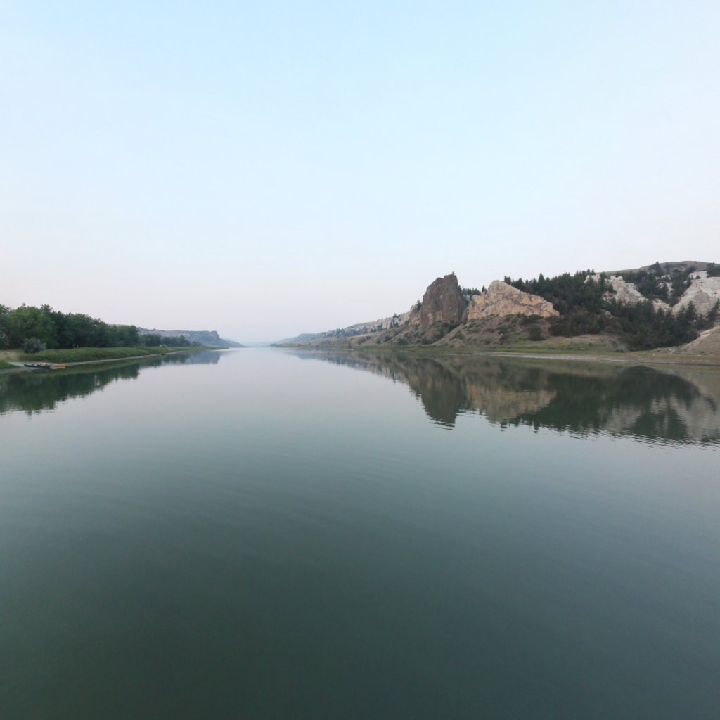
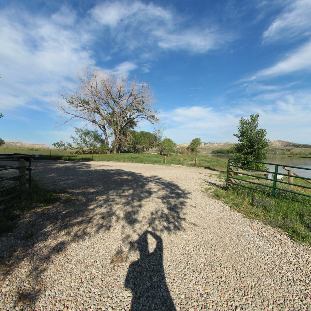
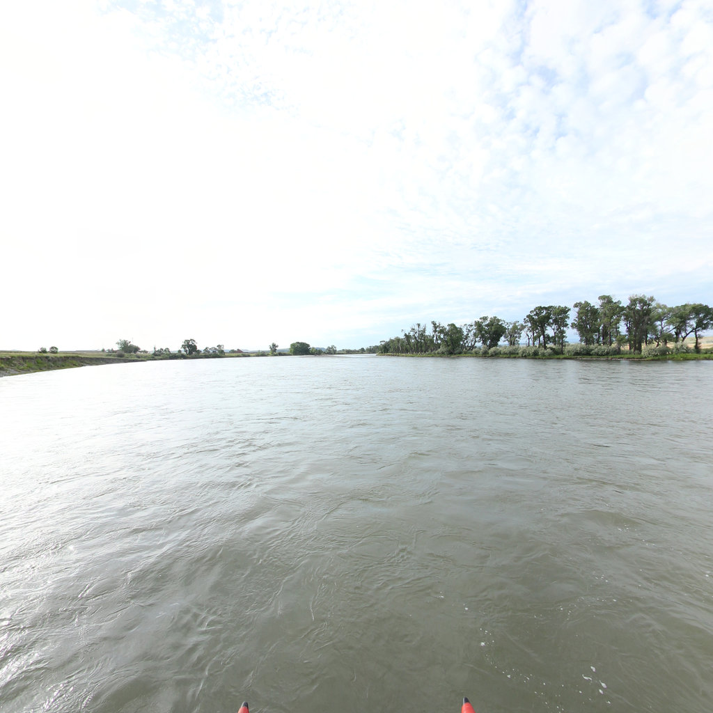
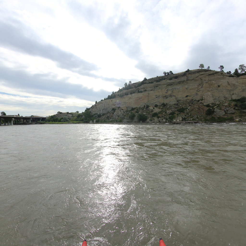
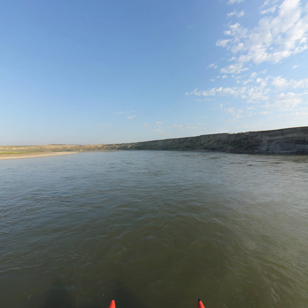
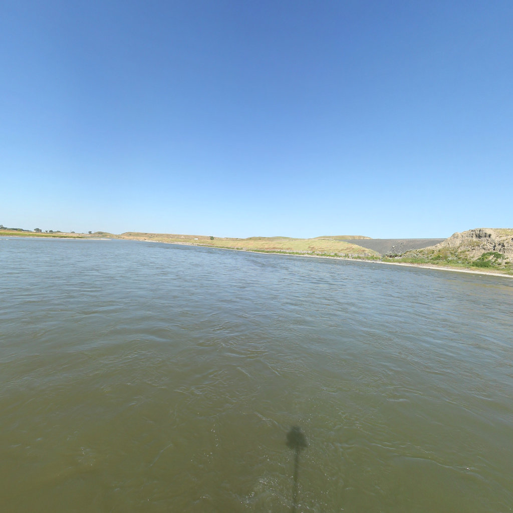
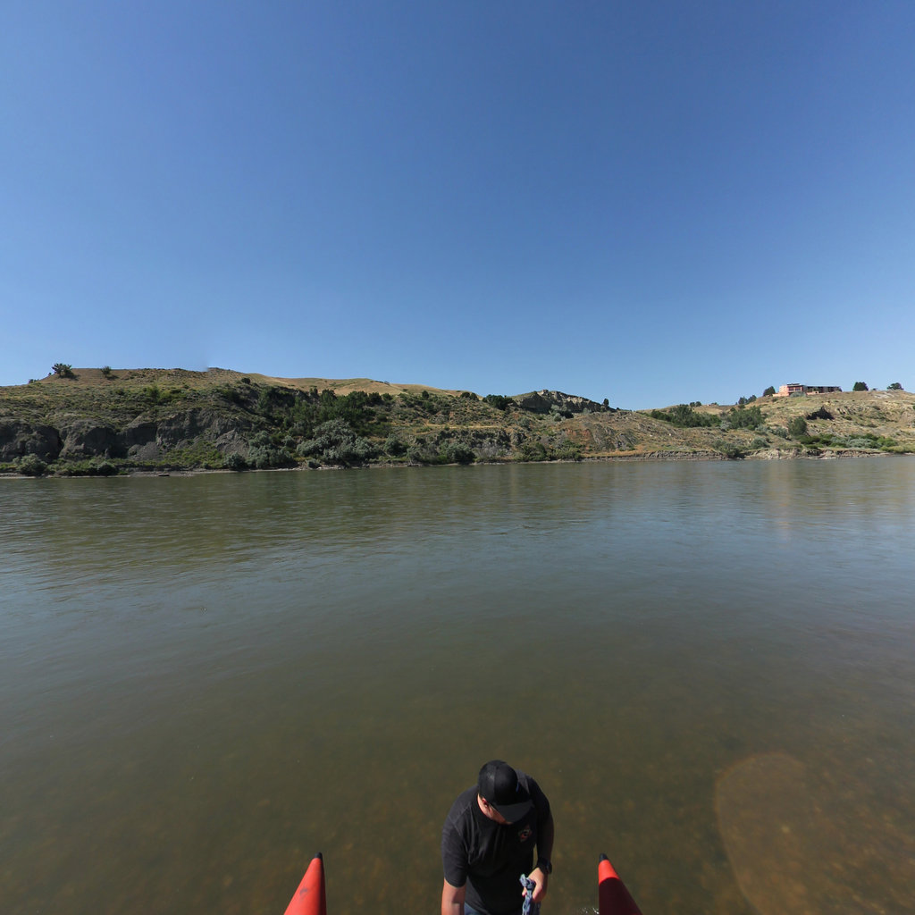
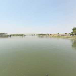
A Corps campsite deep in the Missouri Breaks, pitched as the river narrowed into unmapped country.
 9
May 29, 1805
9
May 29, 1805
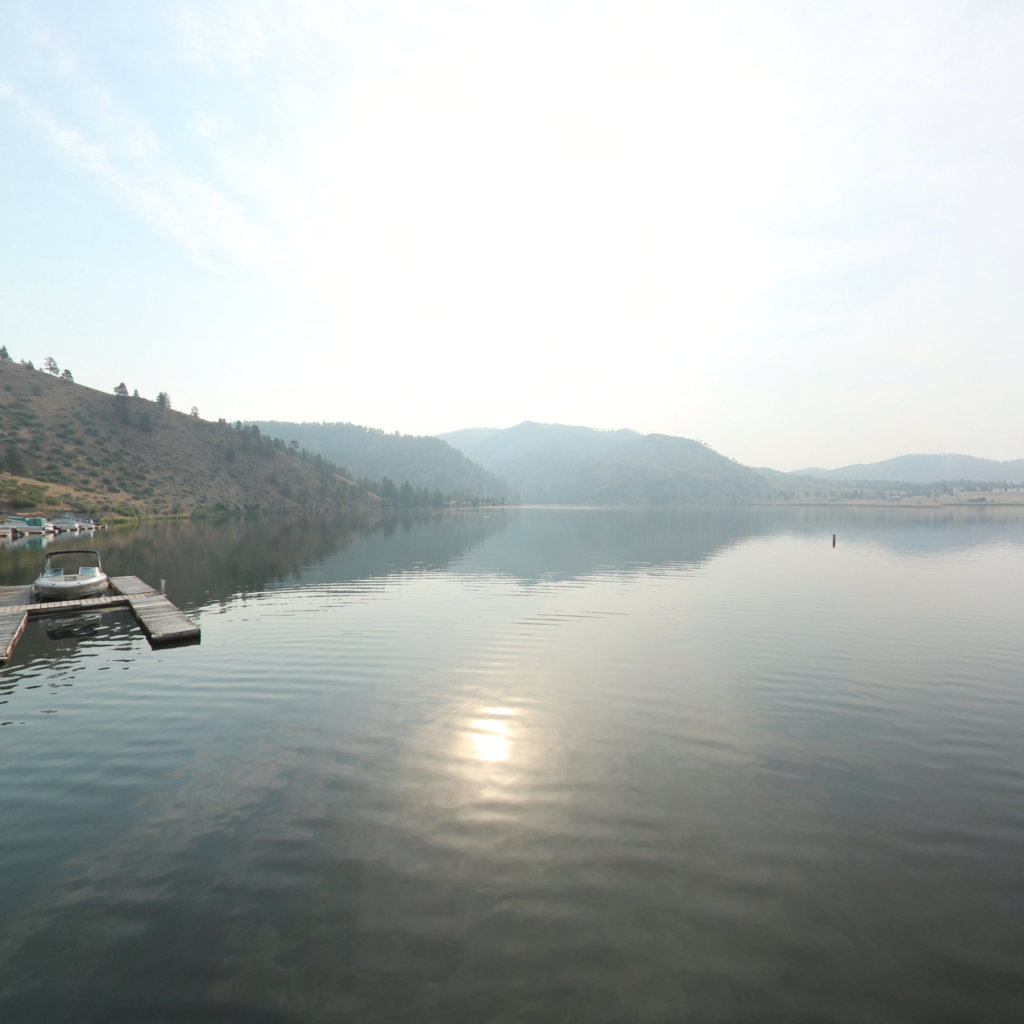
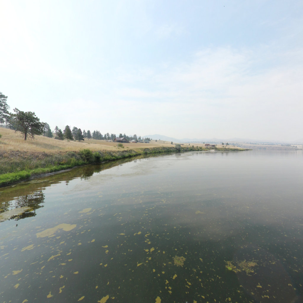
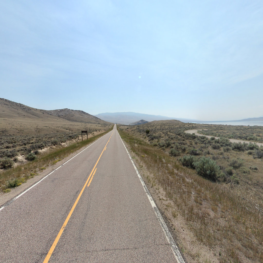
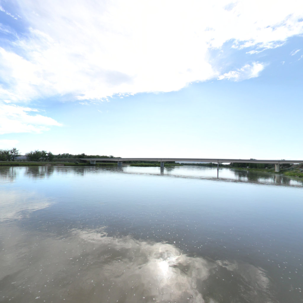
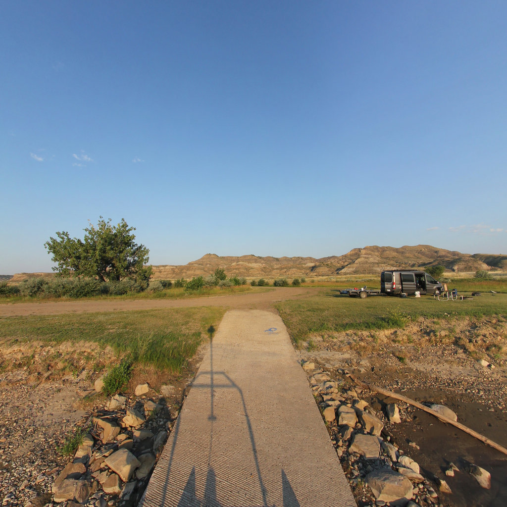
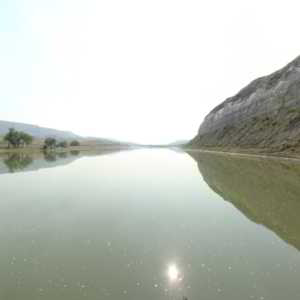
That evening's camp, just above the river Clark had named for Julia "Judith" Hancock.
 10
May 30, 1805
10
May 30, 1805
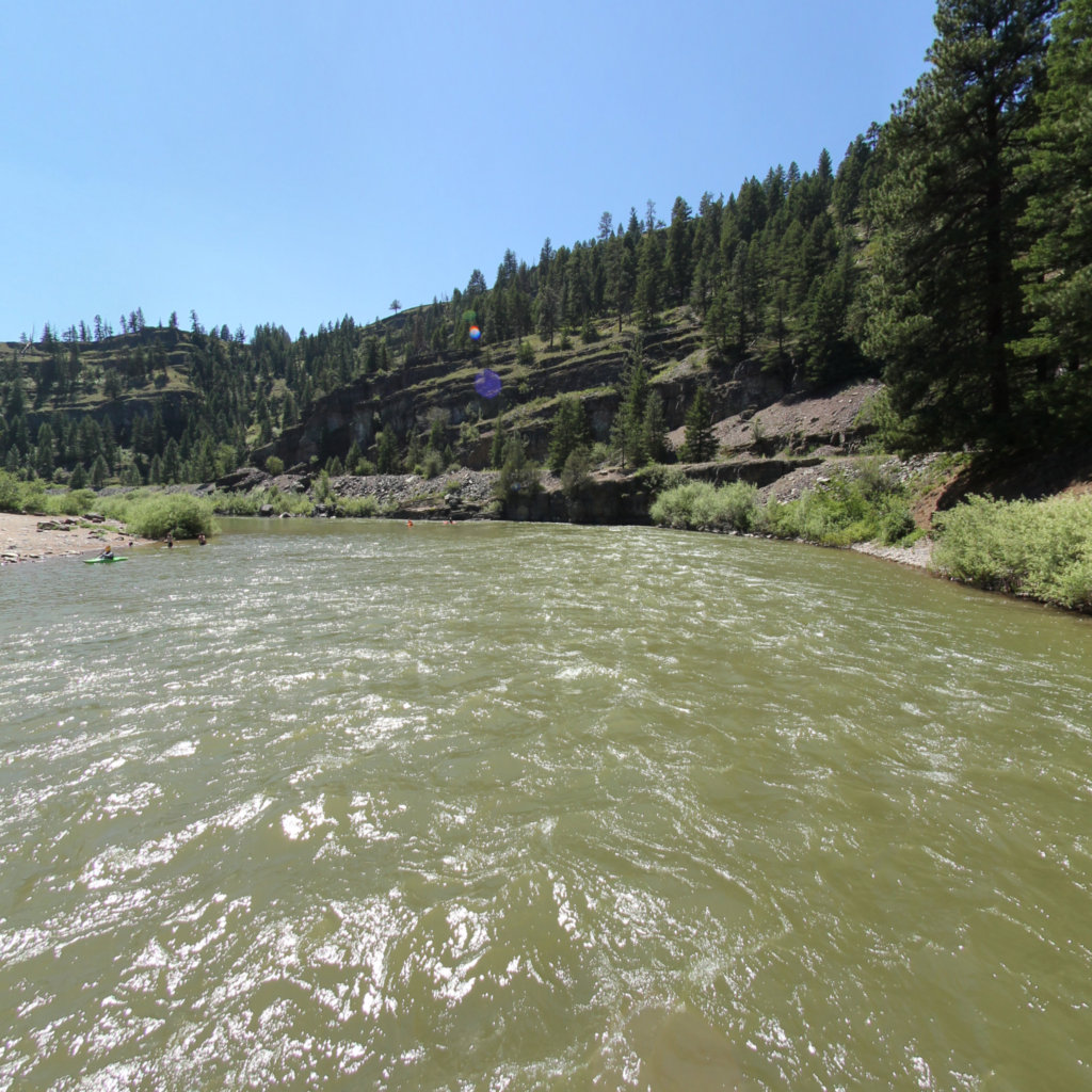
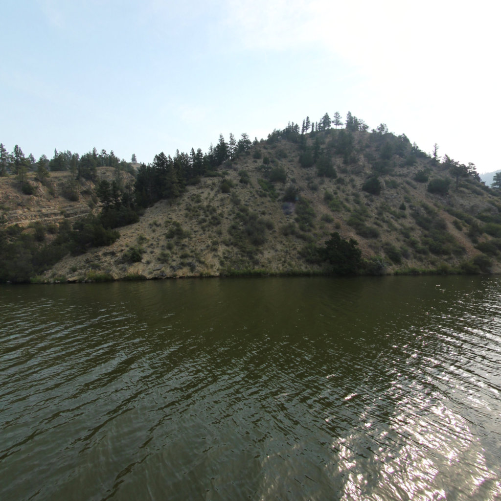
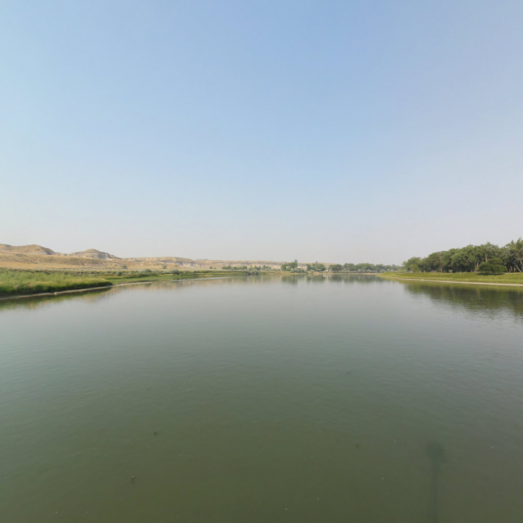
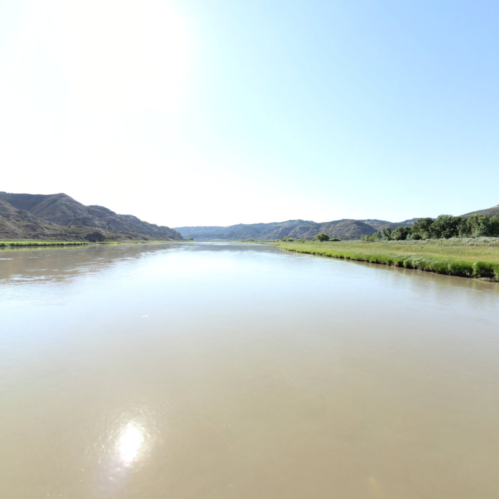
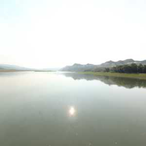
The journals record brutal miles here: rain, slick banks, and men towing the canoes by rope.
 11
May 31, 1805
11
May 31, 1805
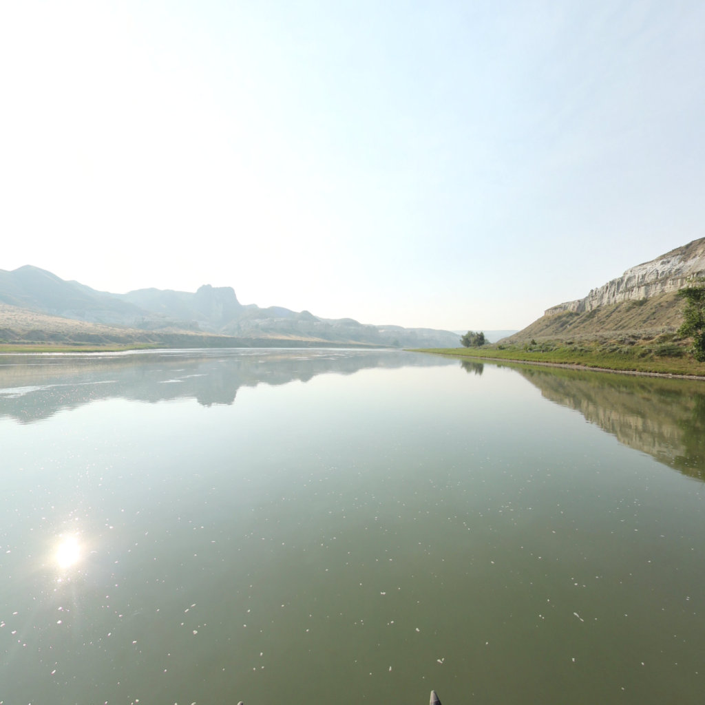
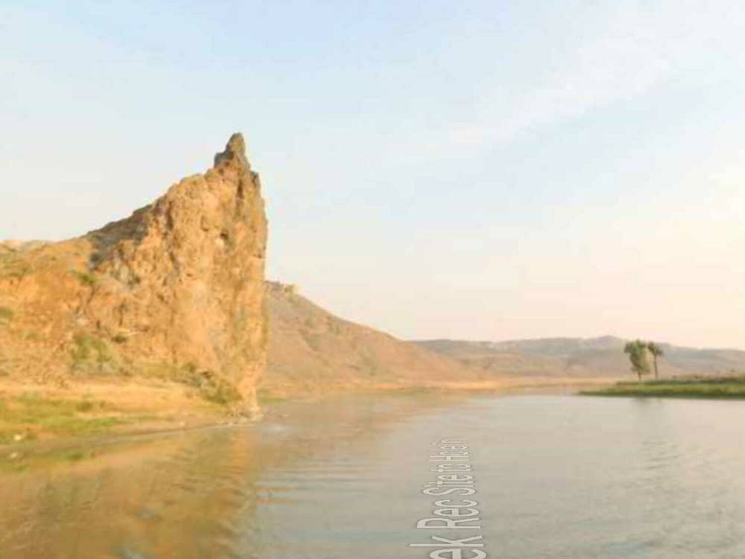
The volcanic monolith the expedition passed on May 31, 1805, still standing watch over the White Cliffs.
 12
Jun 13, 1805
12
Jun 13, 1805
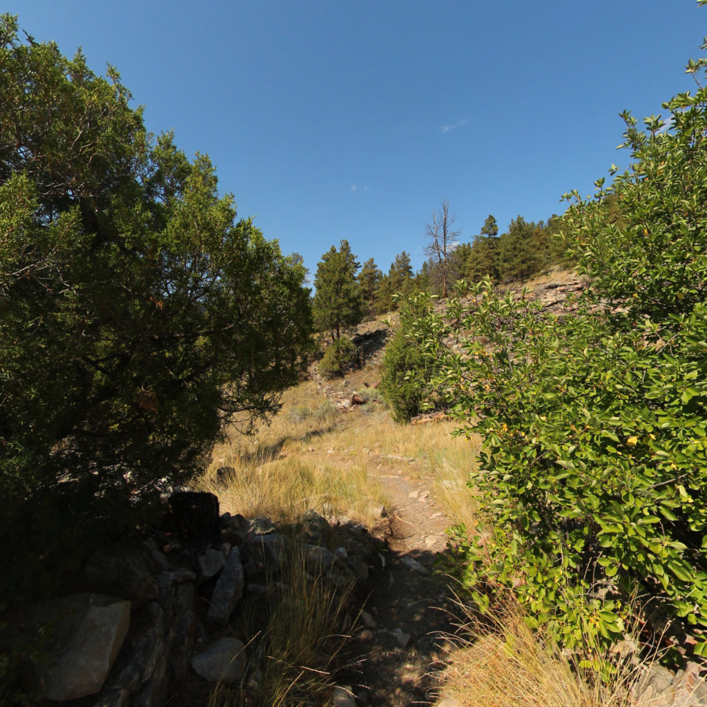
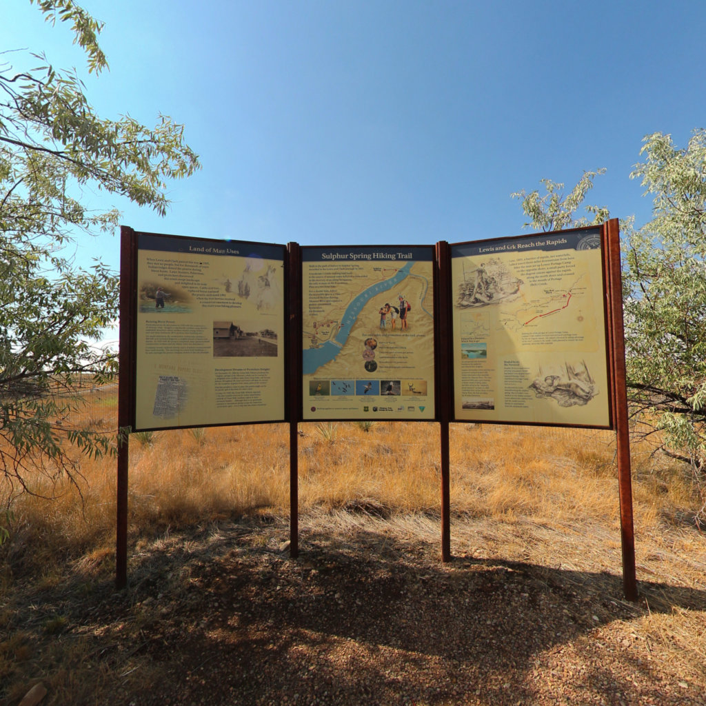
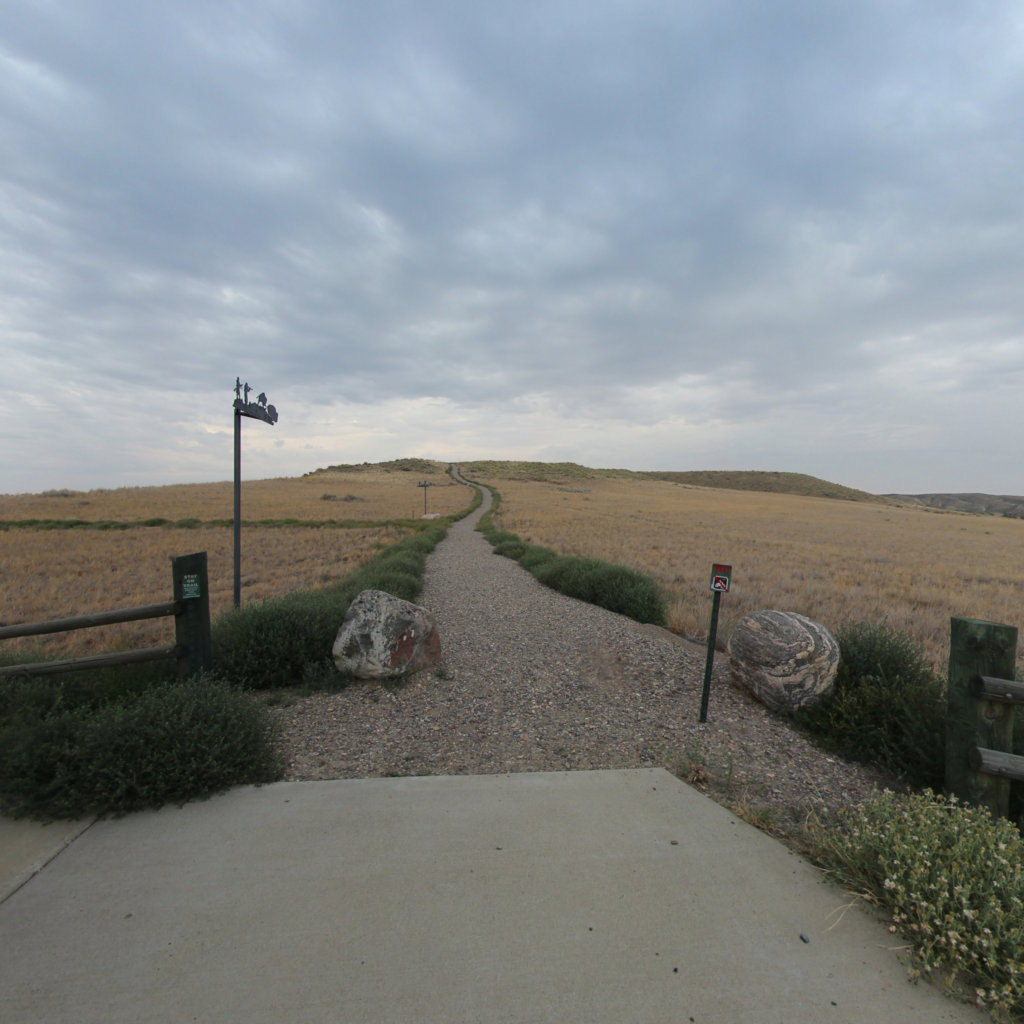
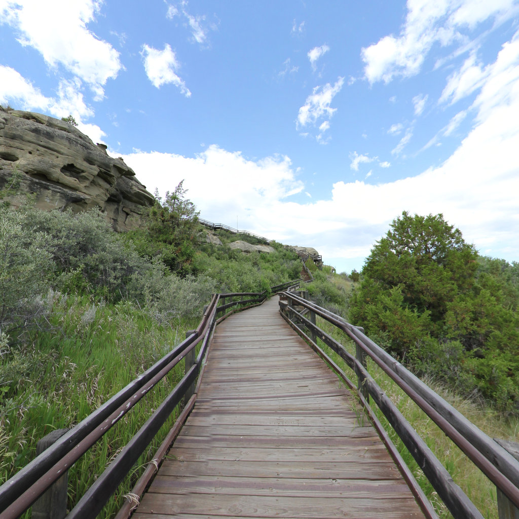
A mile of sandstone cliff used as a buffalo jump for a thousand years; the Corps spent June and July 1805 portaging the Great Falls nearby.
 13
Jul 19, 1805
13
Jul 19, 1805
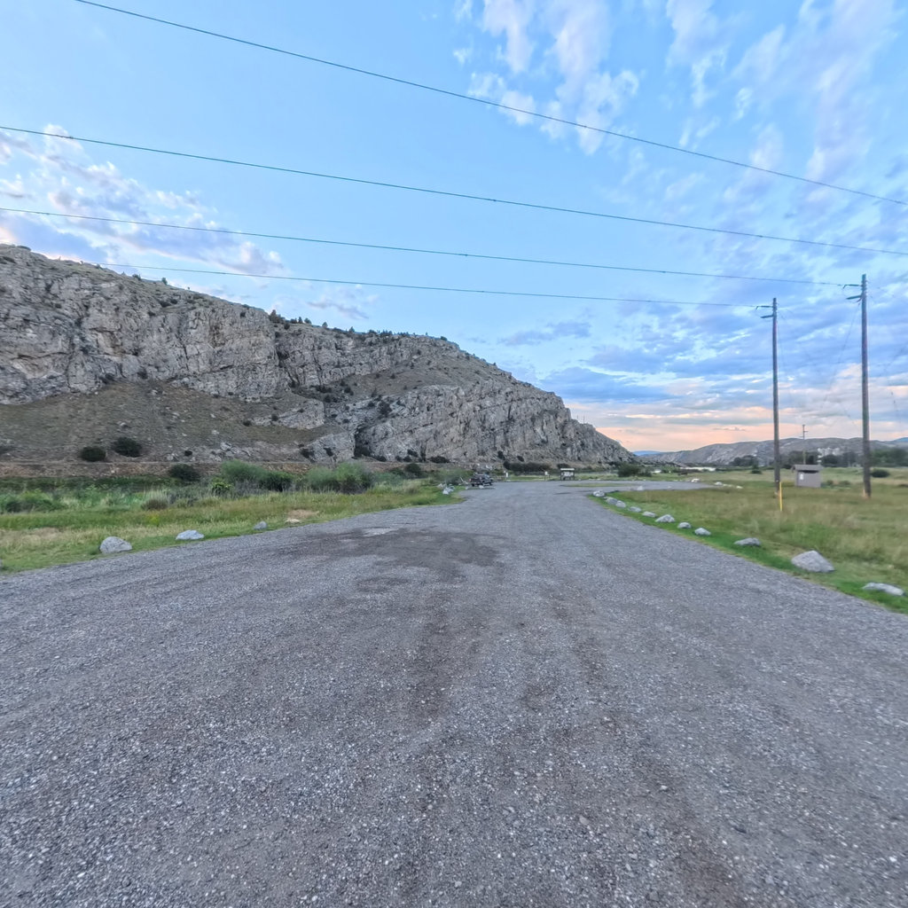
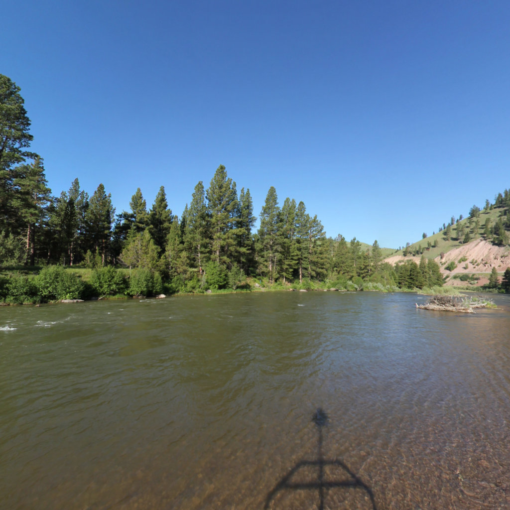
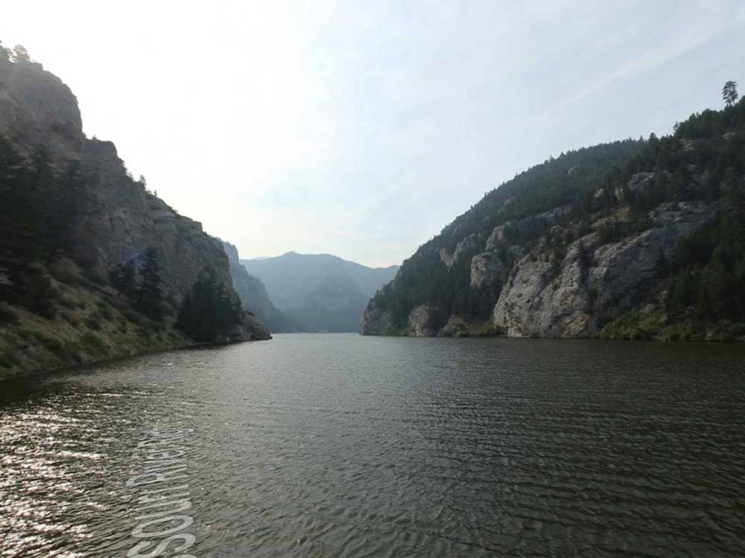
Lewis named these 1,200-foot limestone walls "the gates of the rocky mountains" on July 19, 1805.
 14
Oct 7, 1805
14
Oct 7, 1805
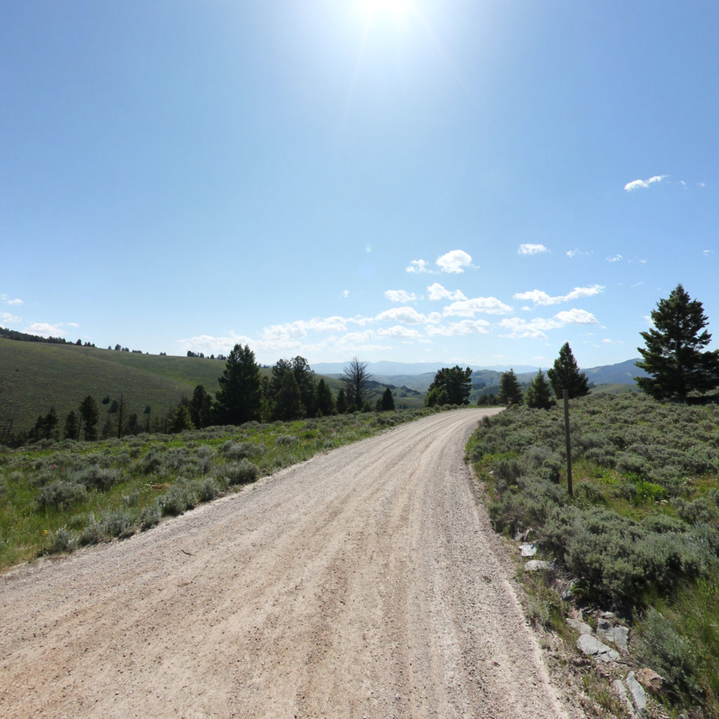
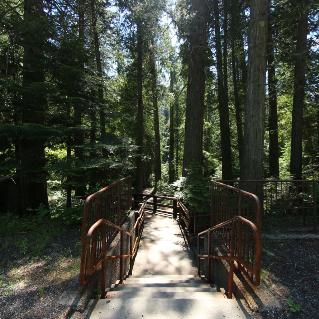
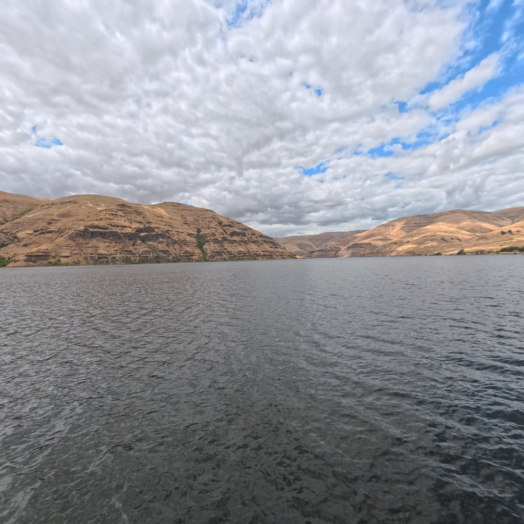
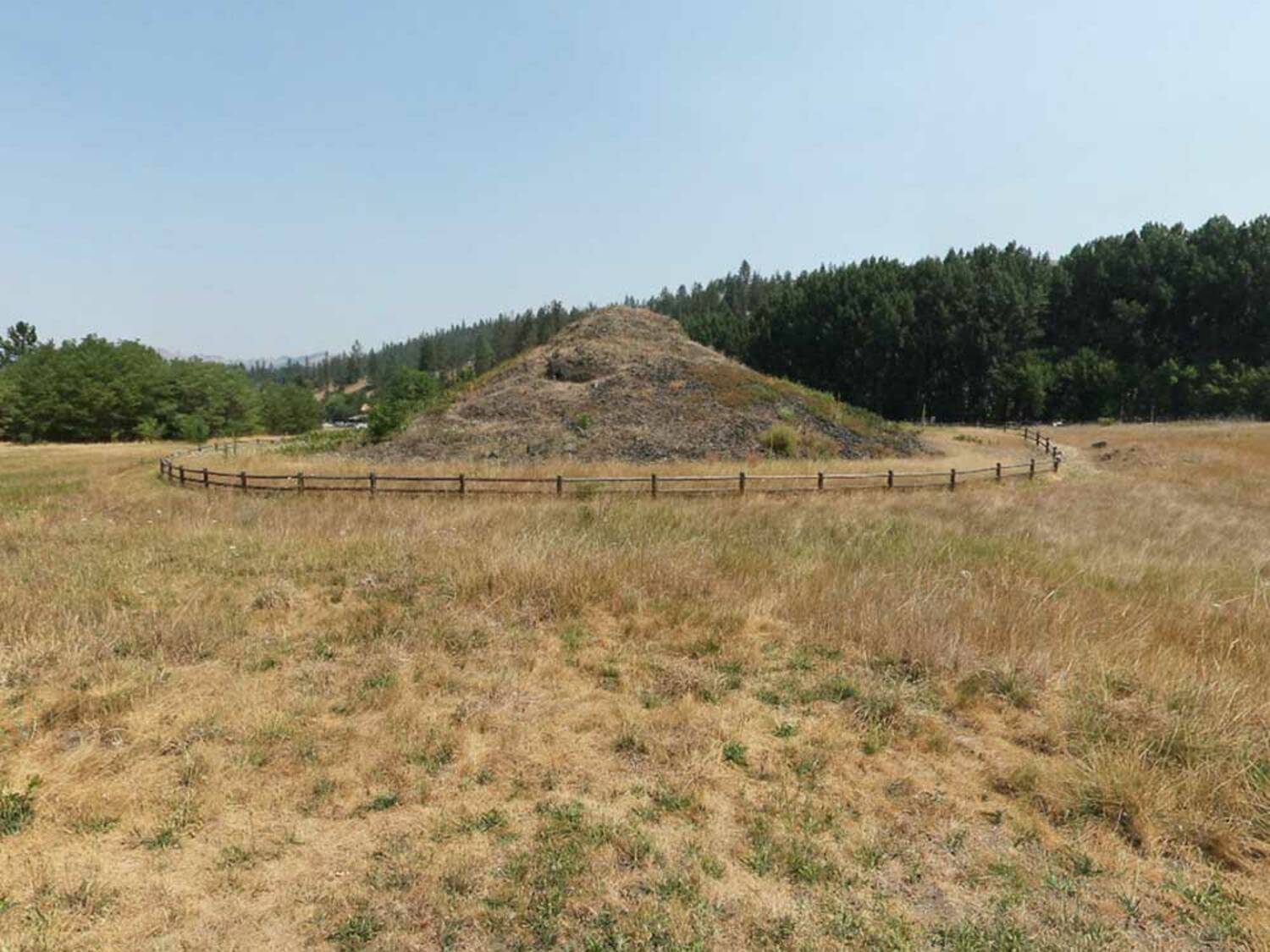
The Nez Perce creation site at Kamiah, homeland of the nation that fed and guided the Corps in fall 1805.
 15
Oct 14, 1805
15
Oct 14, 1805
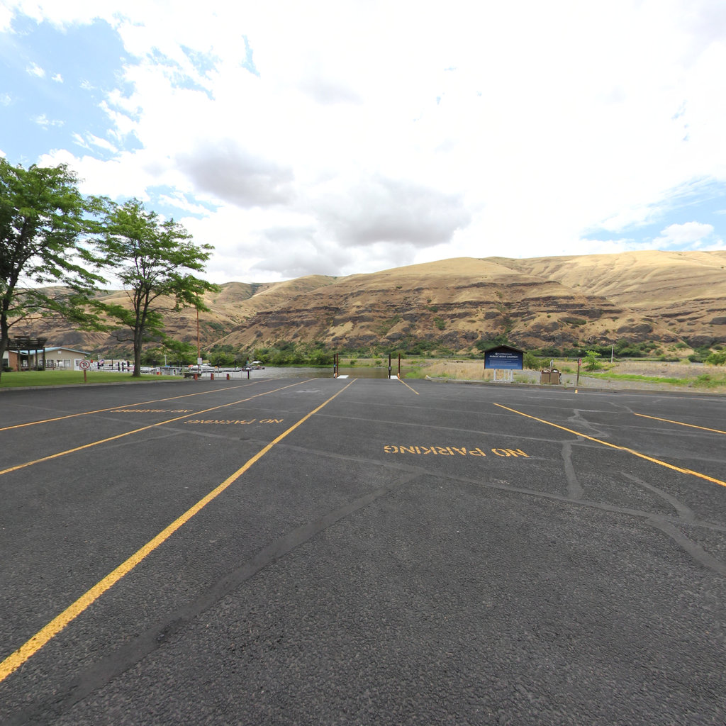
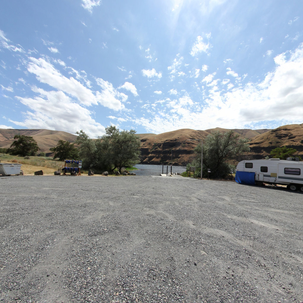
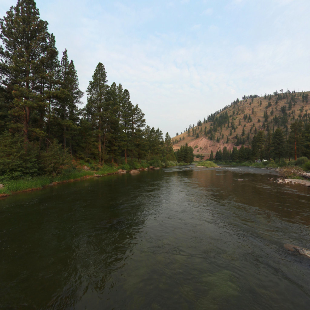
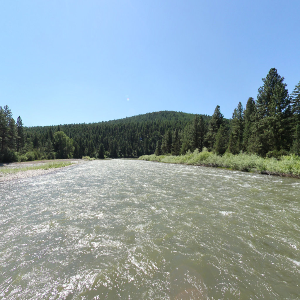
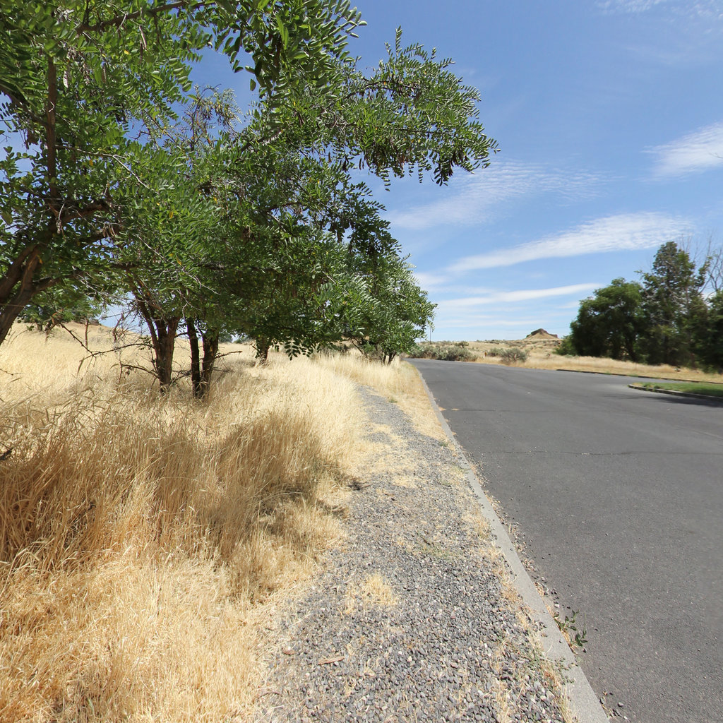
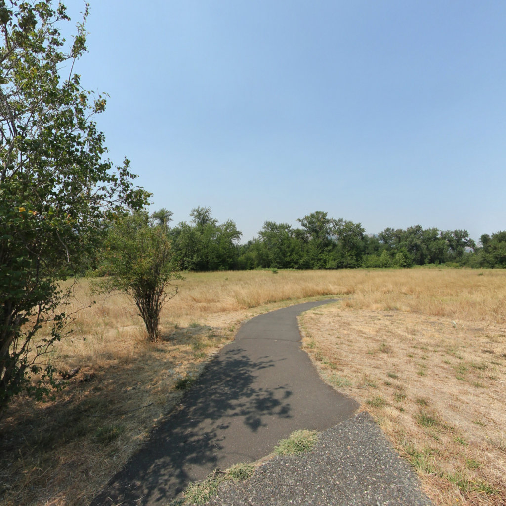
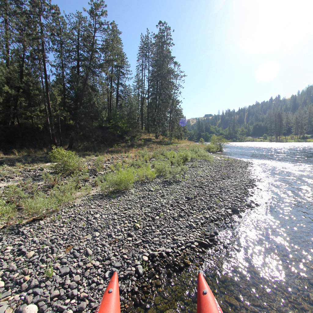
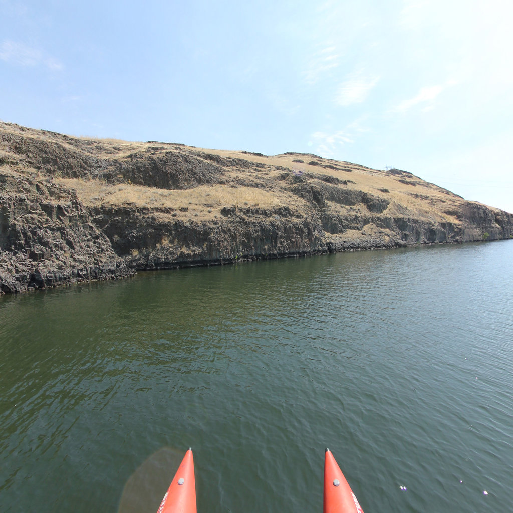
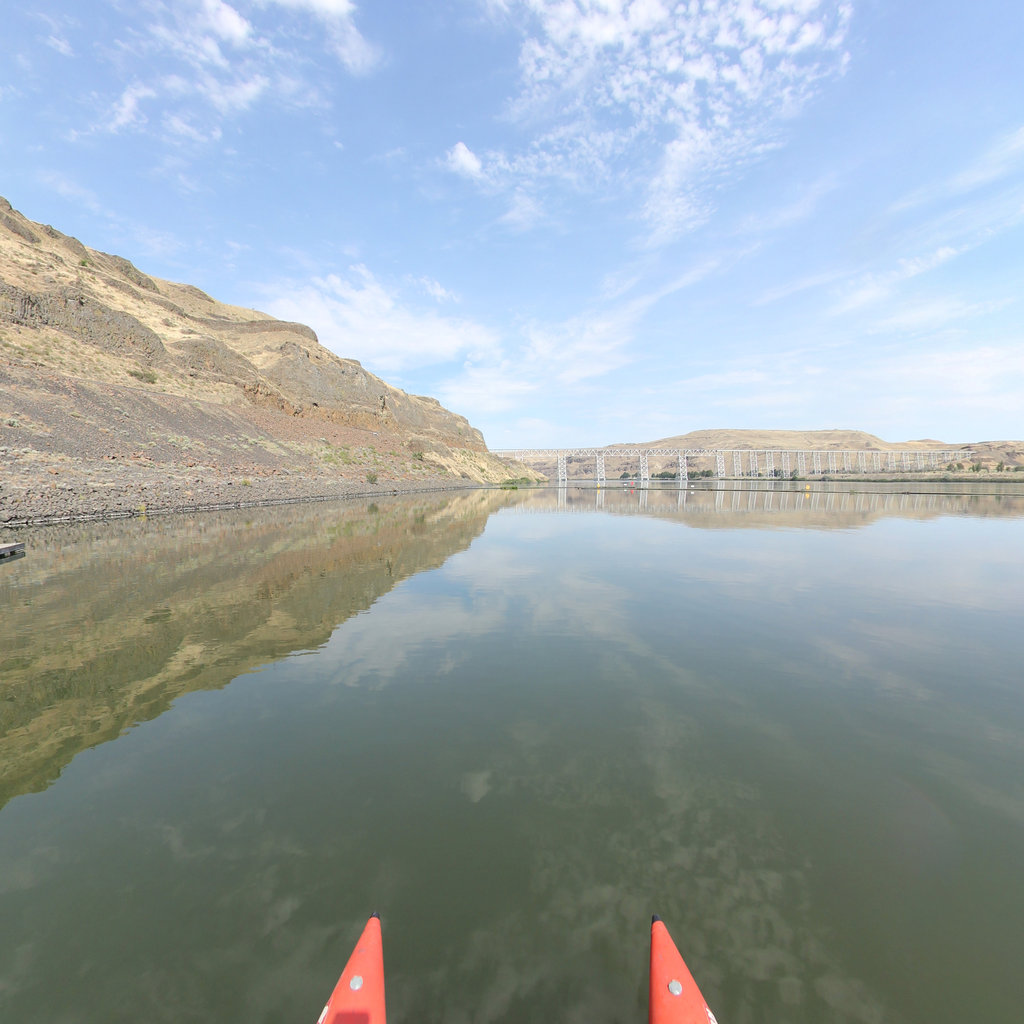
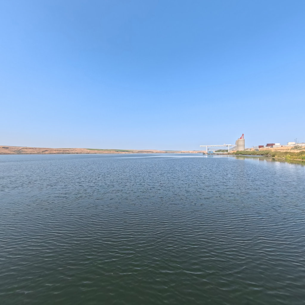
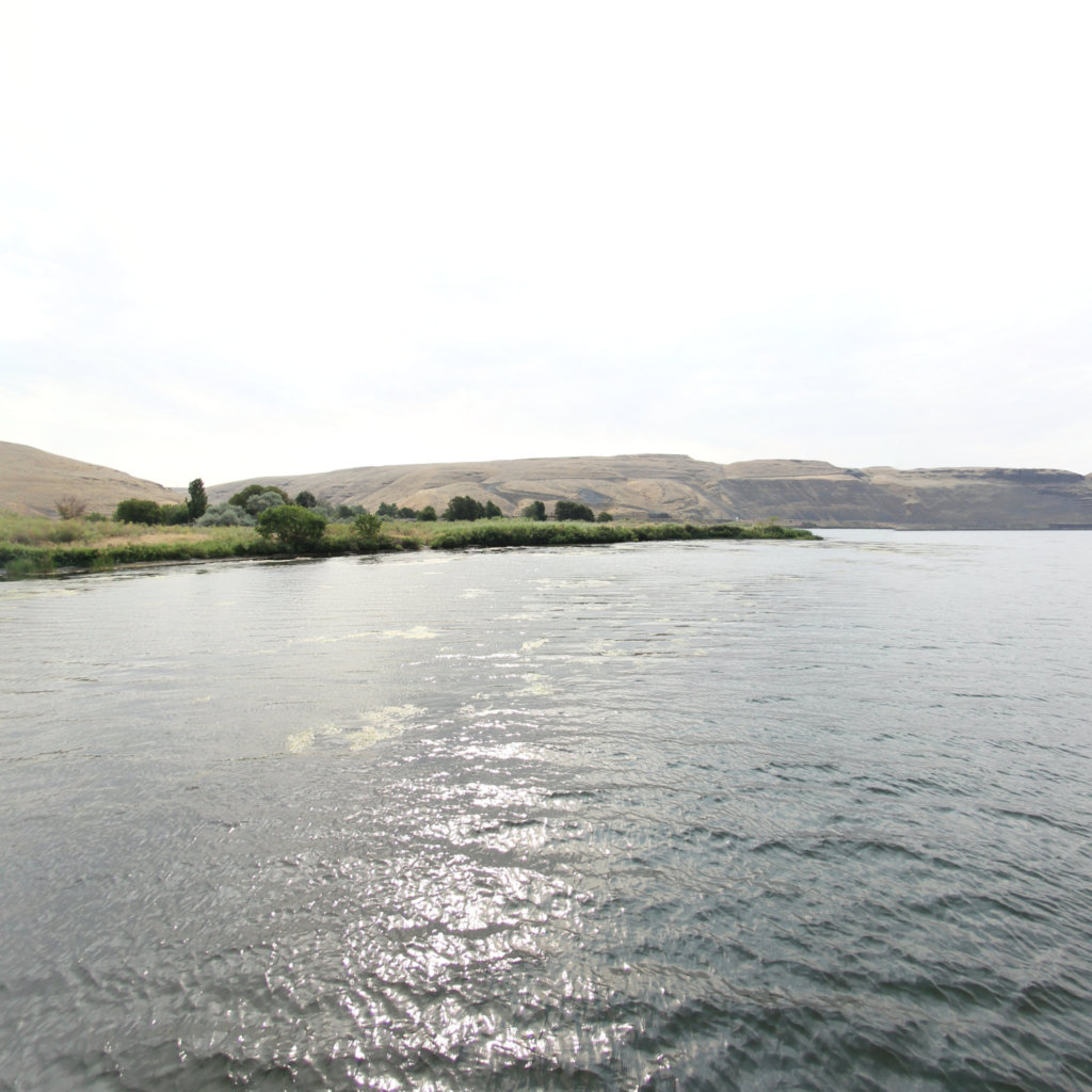
A Snake River camp during the fast, dangerous run of rapids toward the Columbia.
 16
Oct 15, 1805
16
Oct 15, 1805
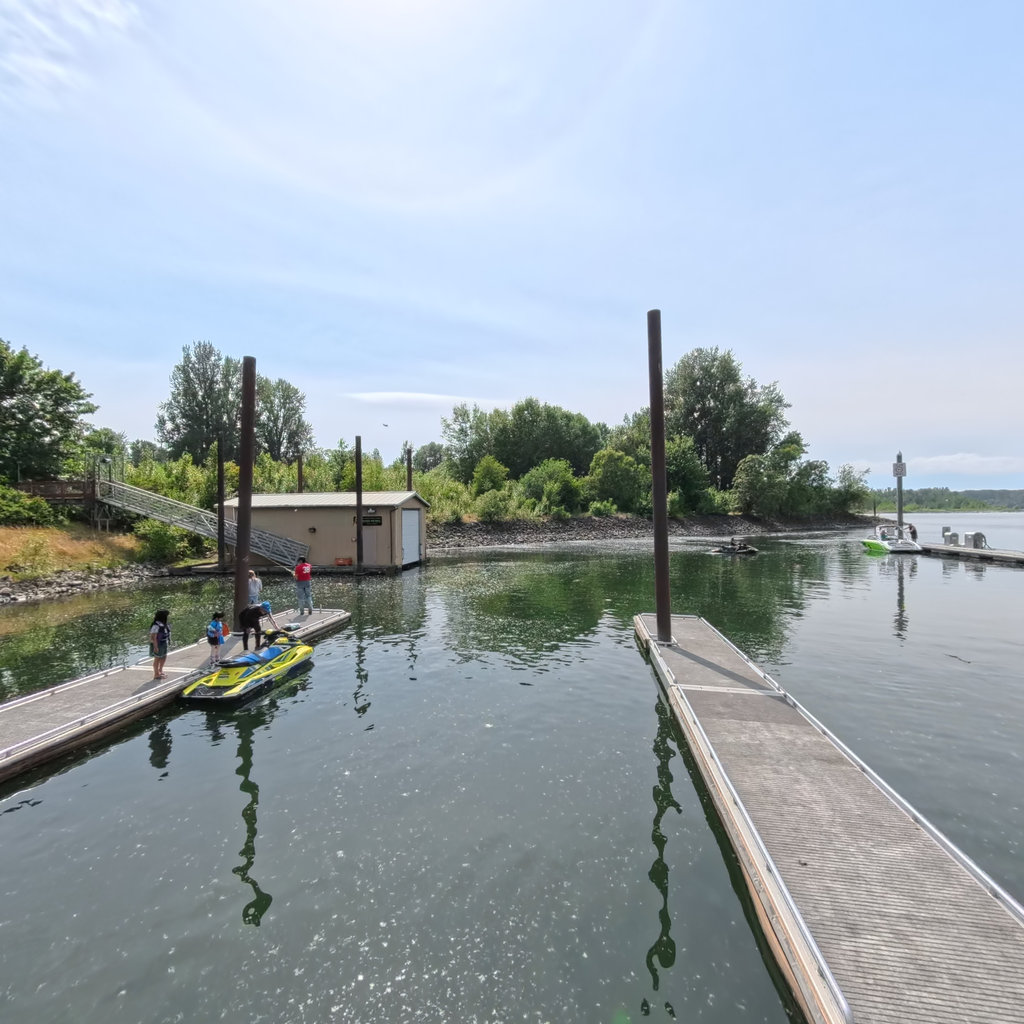
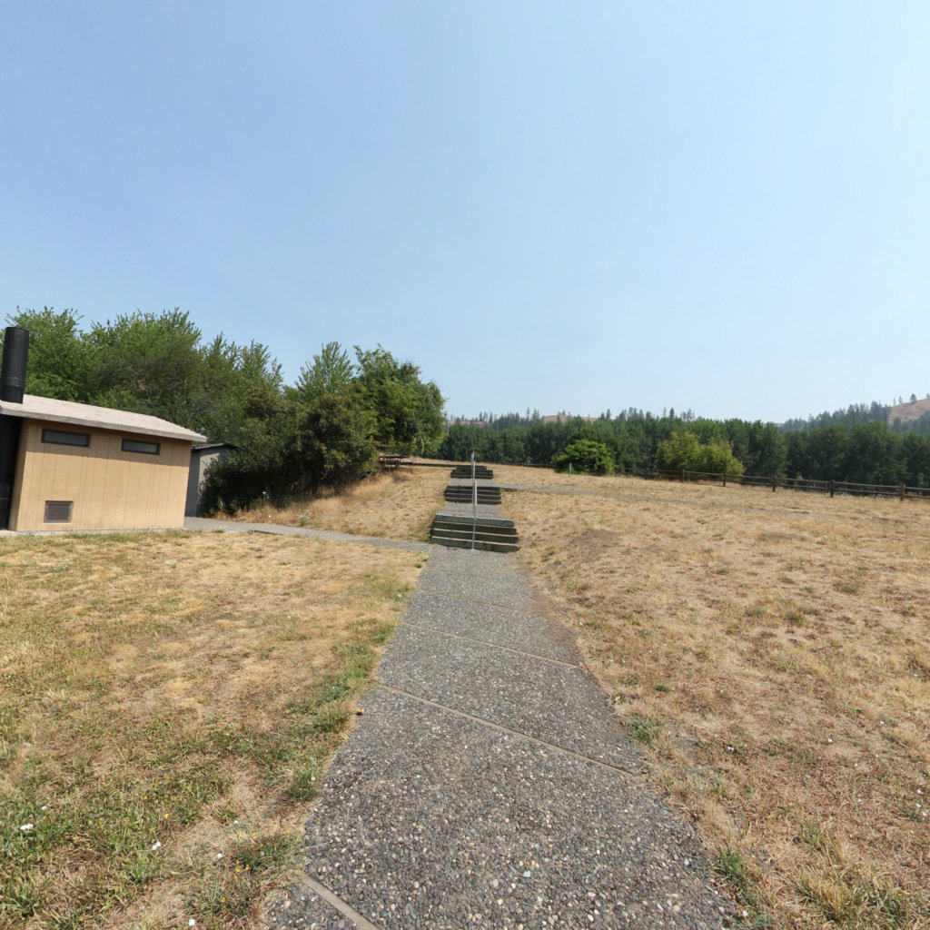
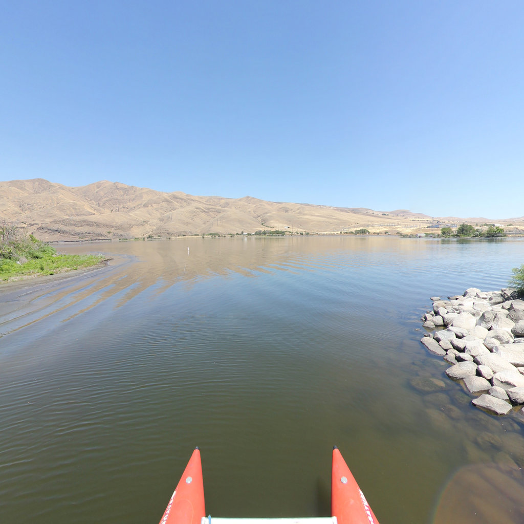
Camped a day's paddle from the Columbia; the Corps reached the confluence on October 16.
 17
Nov 2, 1805
17
Nov 2, 1805
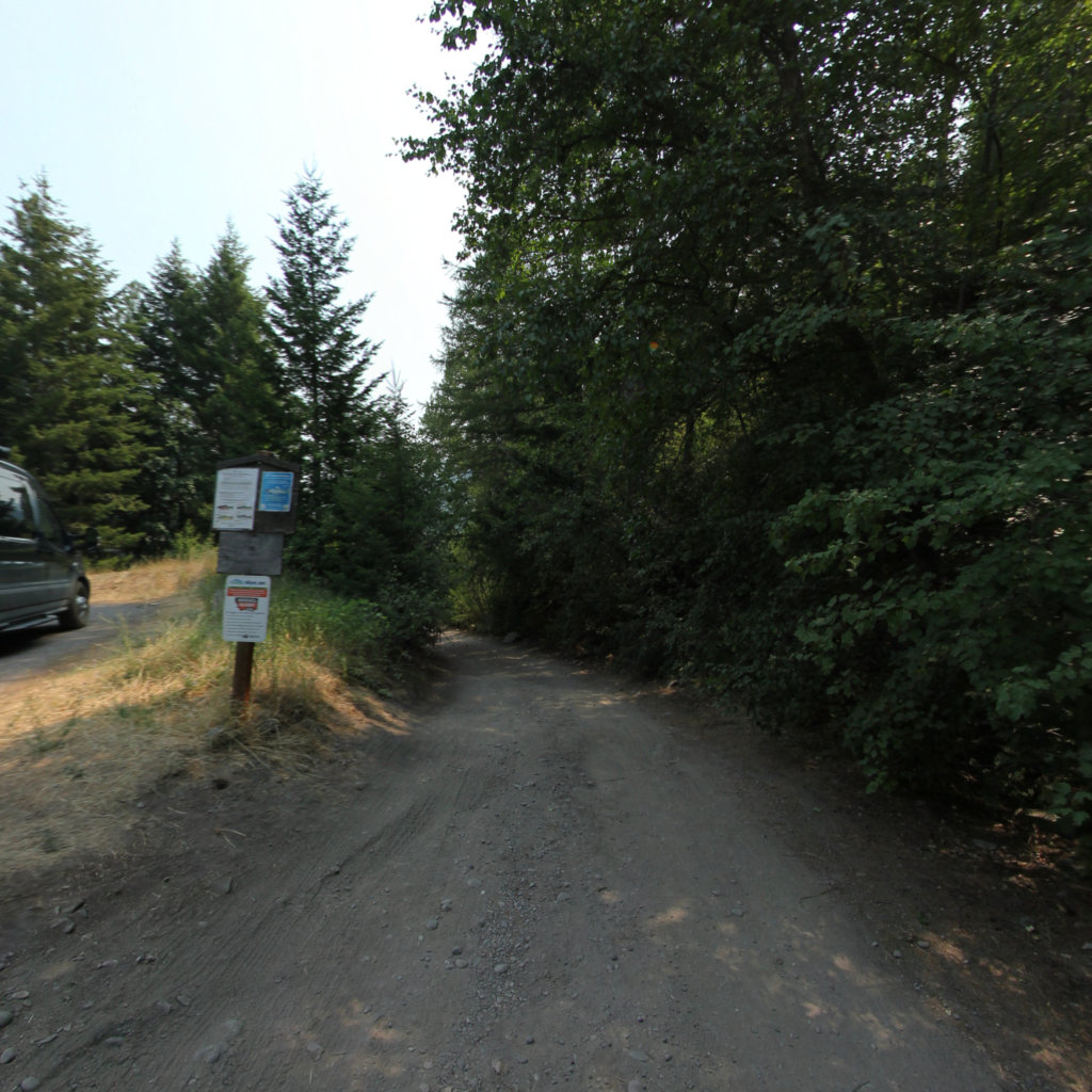
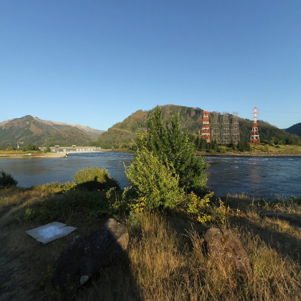
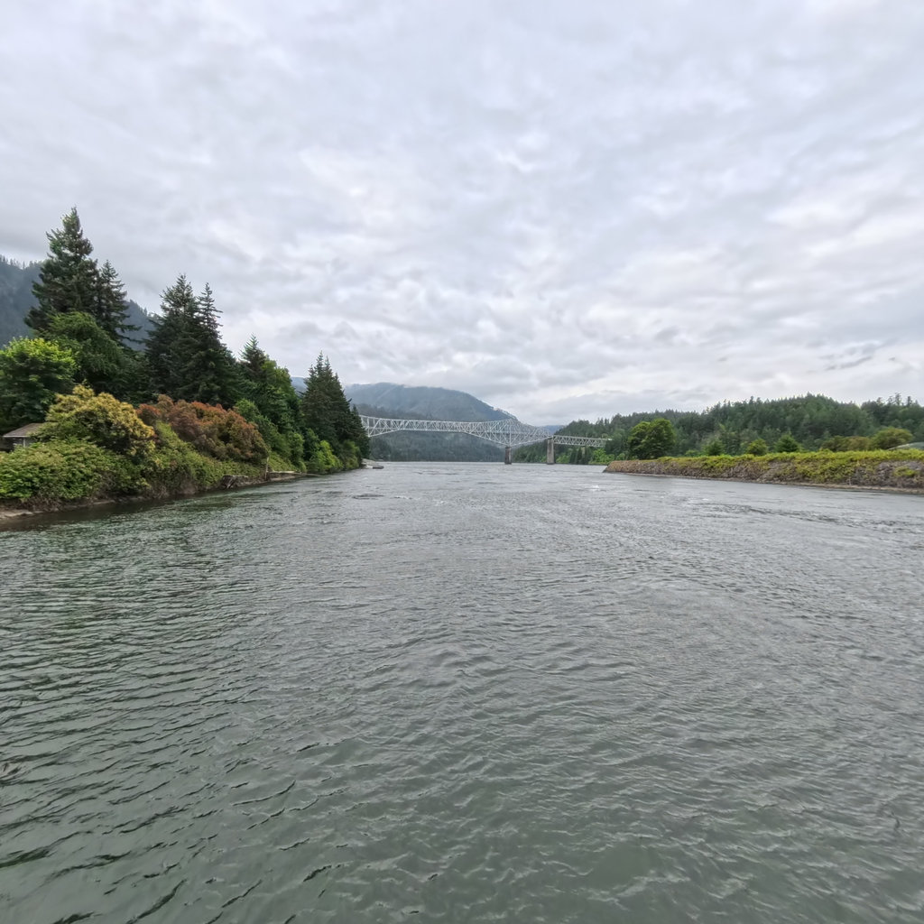
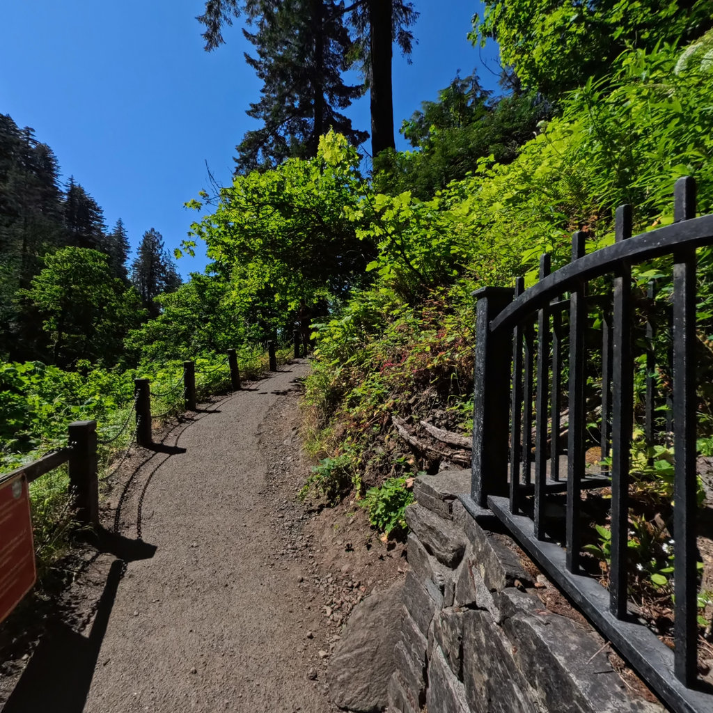
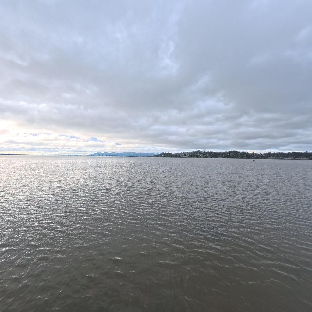
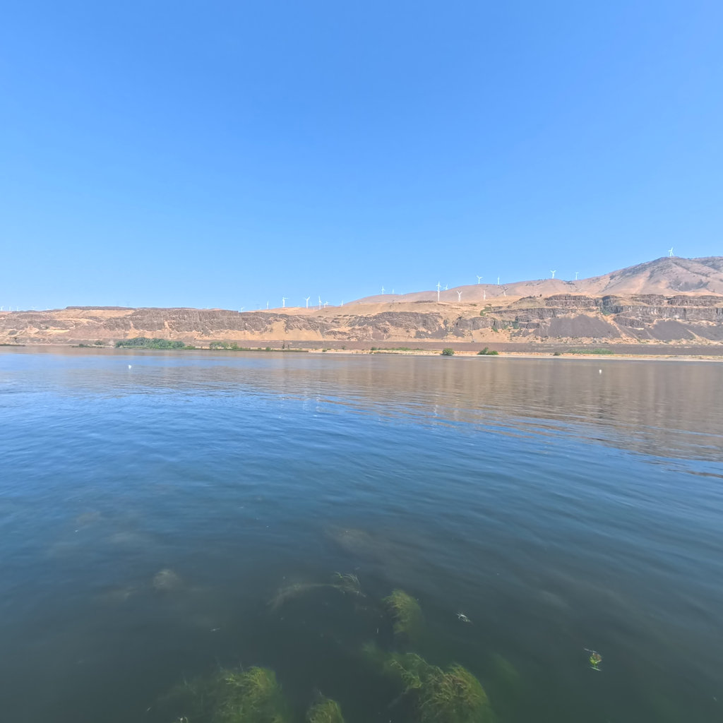
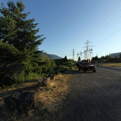
Here the Corps ran the Cascades of the Columbia in early November 1805, reaching tidewater at last.
 18
Dec 7, 1805
18
Dec 7, 1805
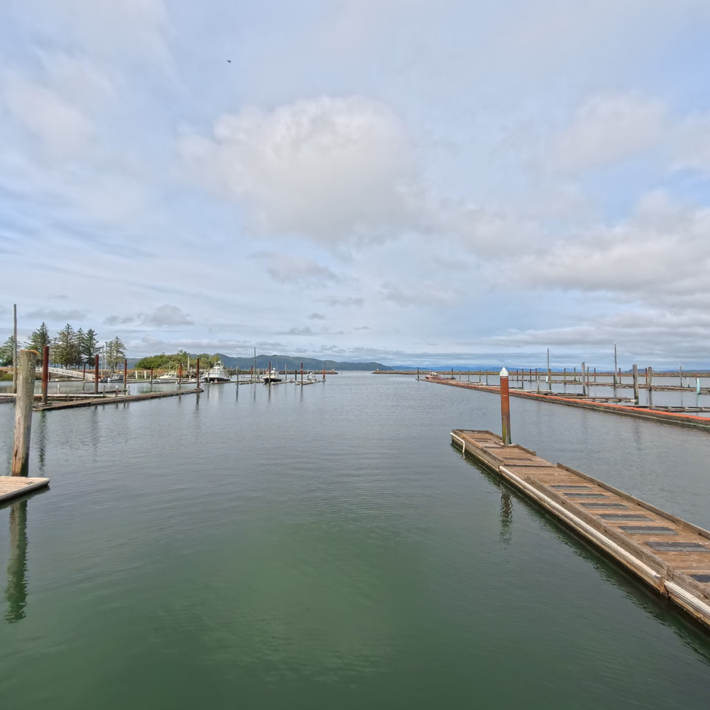
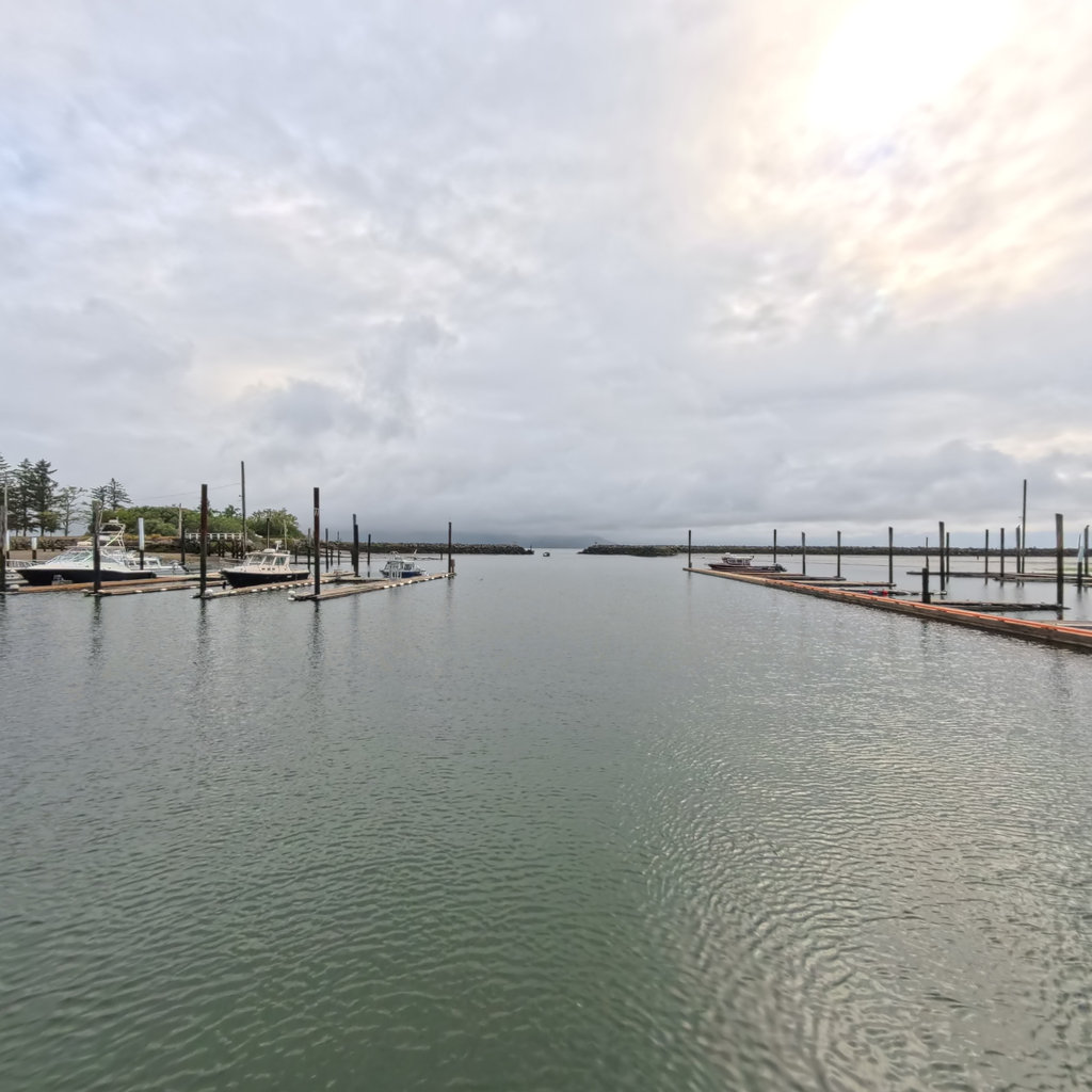
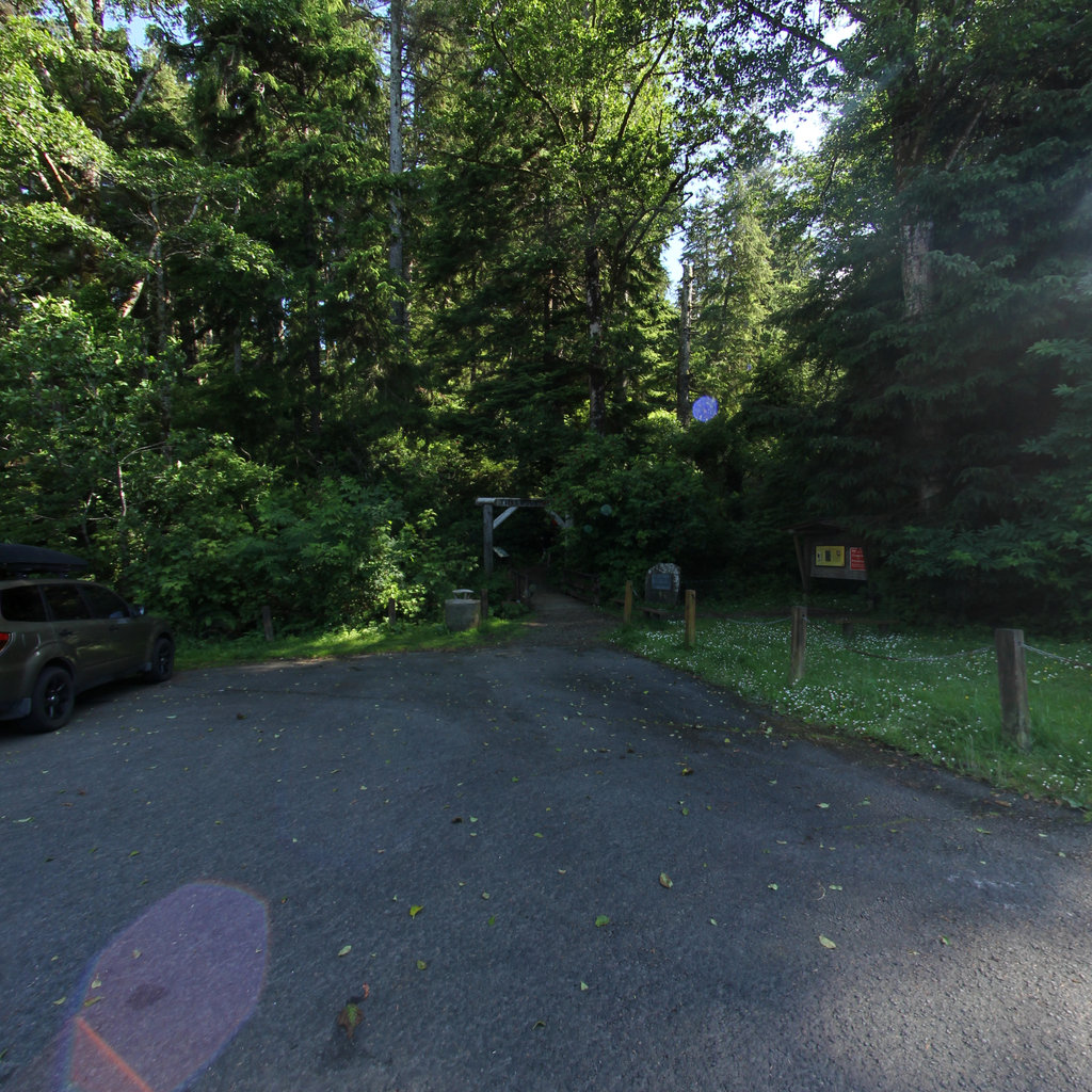
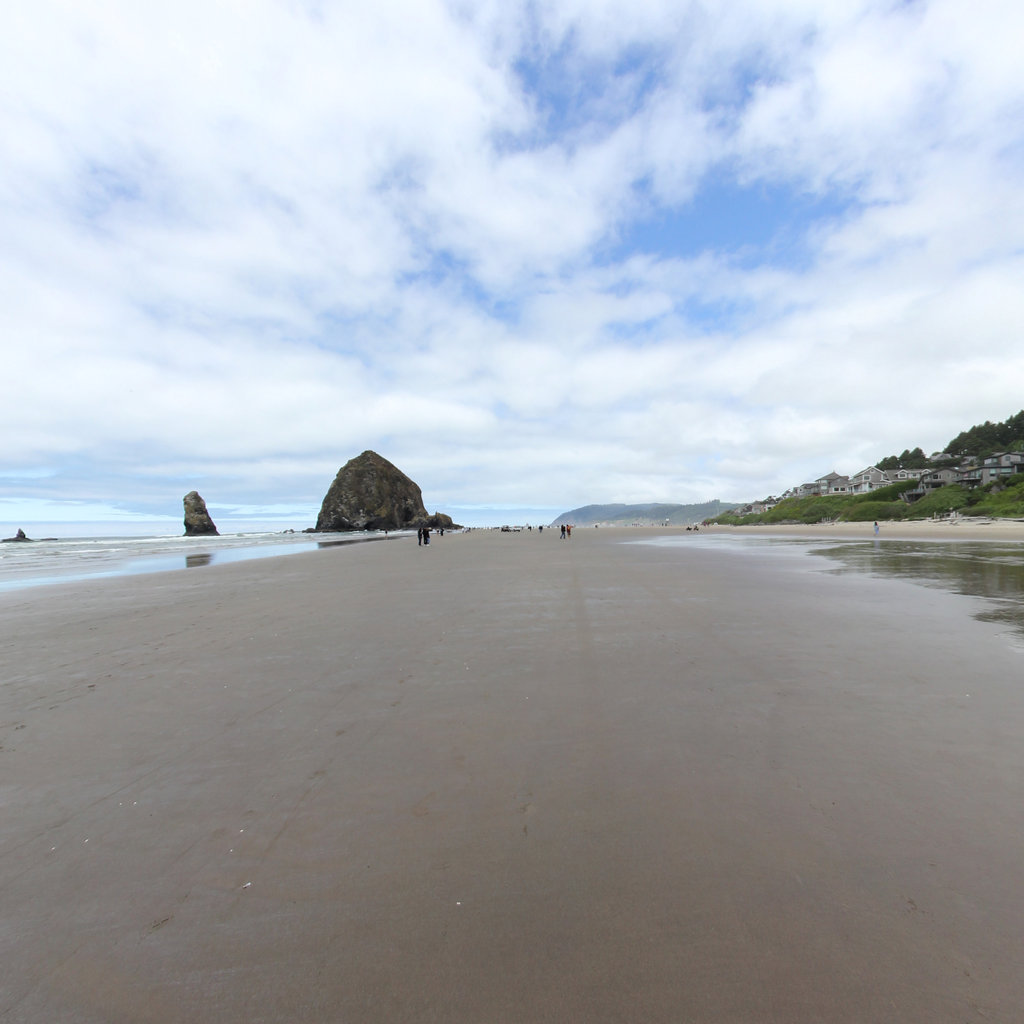
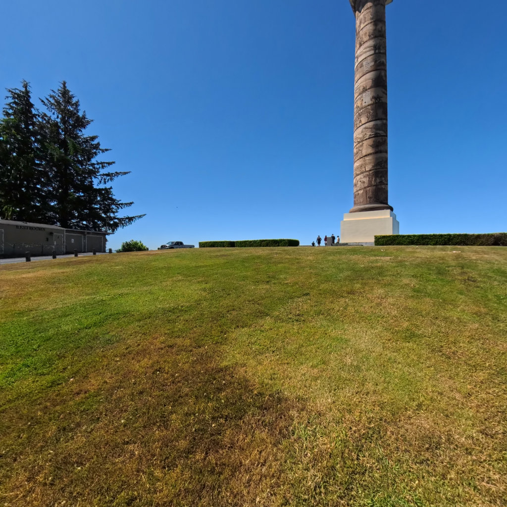
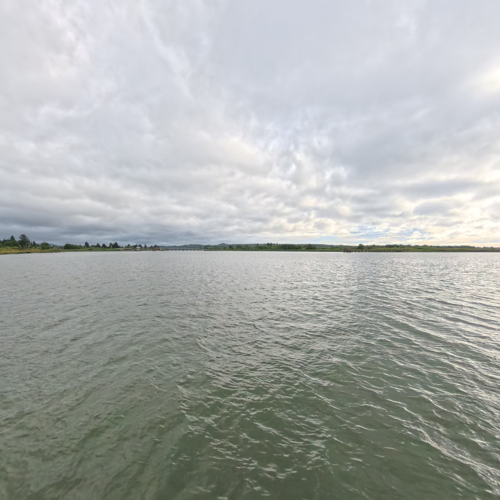
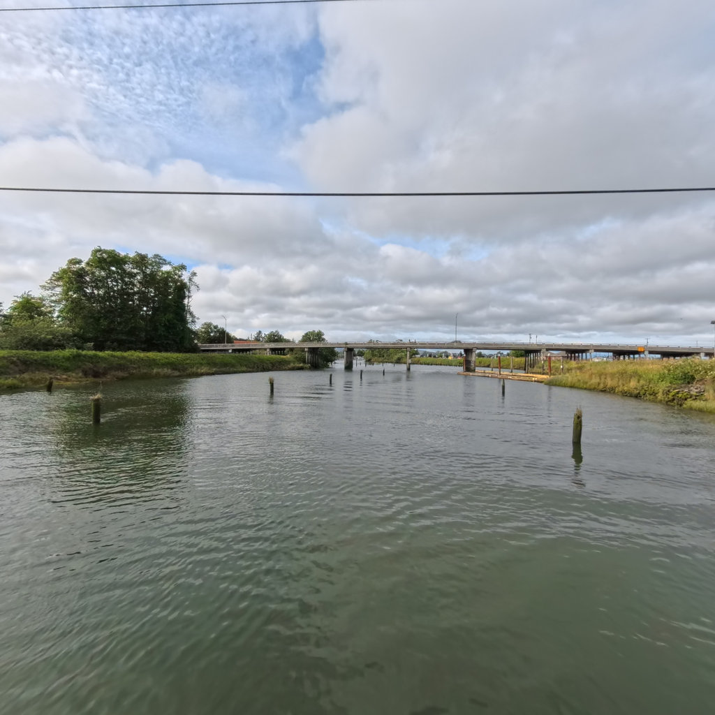
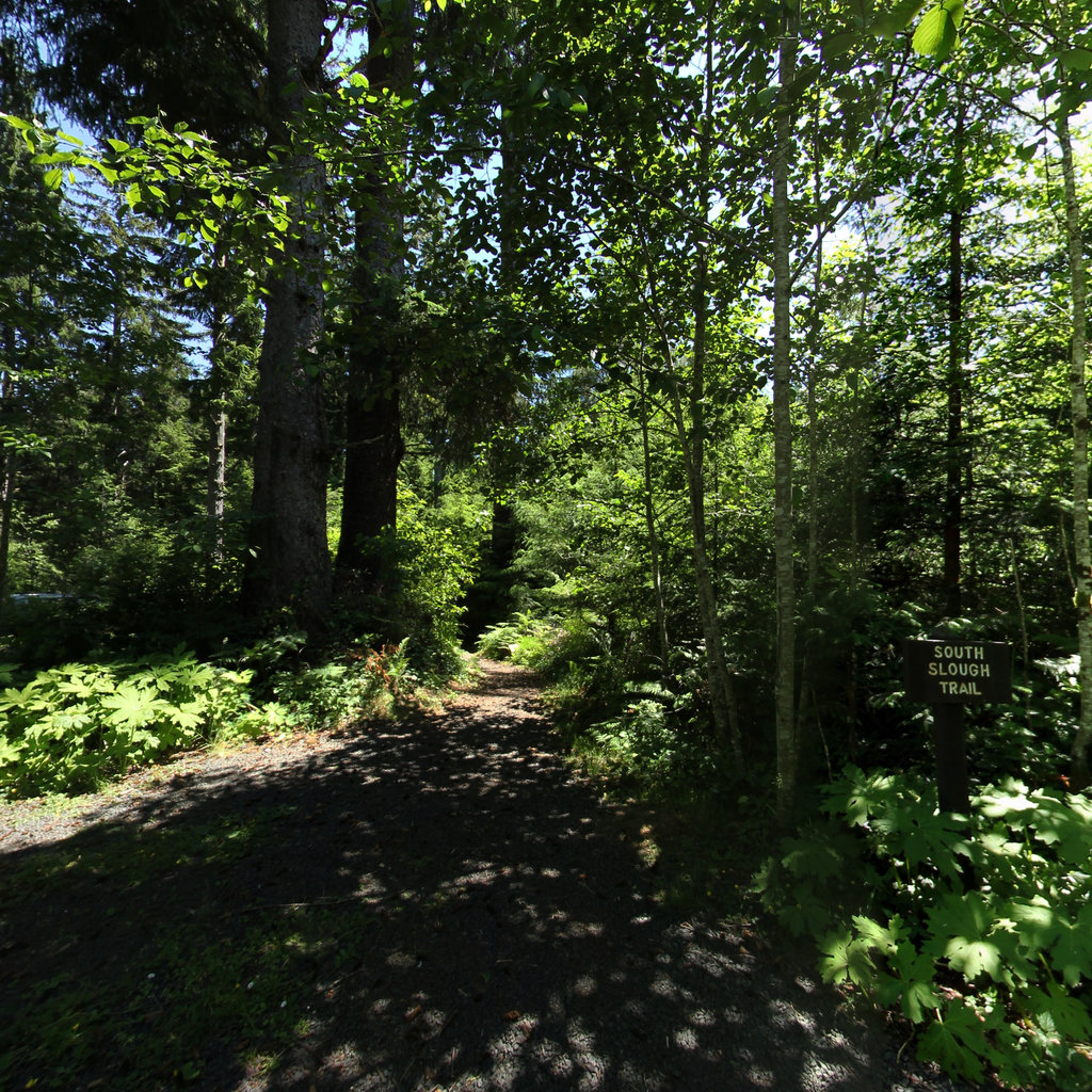
Winter quarters 1805-06 in Clatsop country near the mouth of the Columbia — the far end of the continent.
 19
Dec 28, 1805
19
Dec 28, 1805
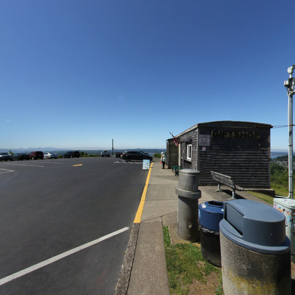
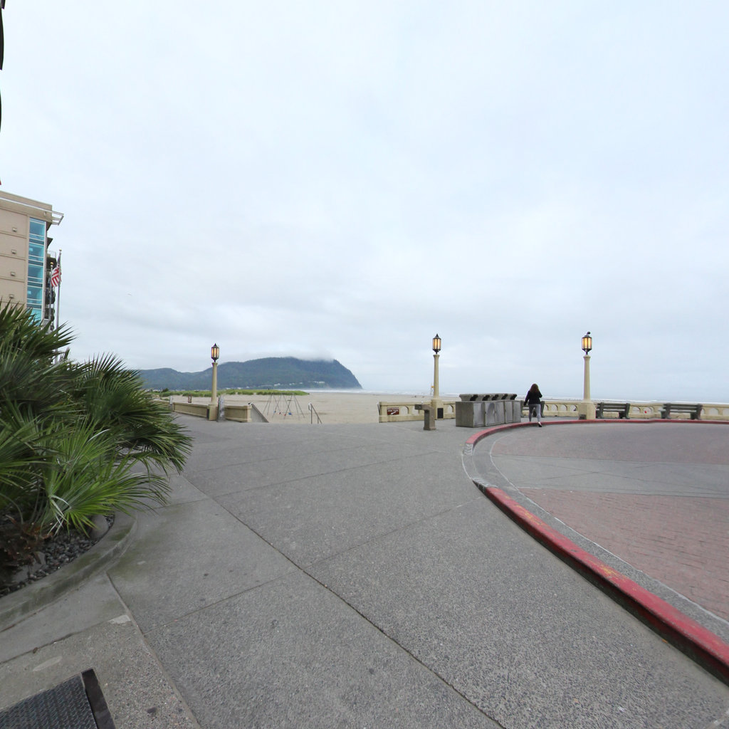
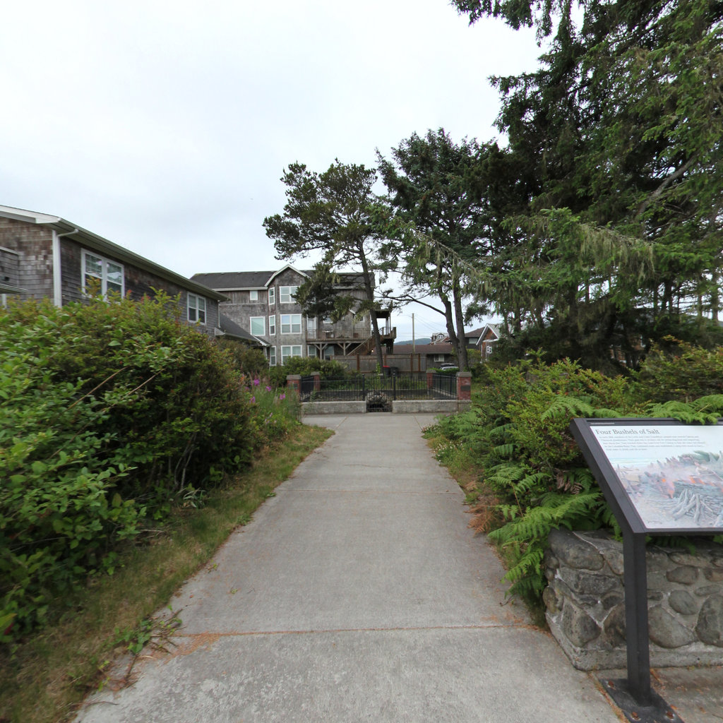
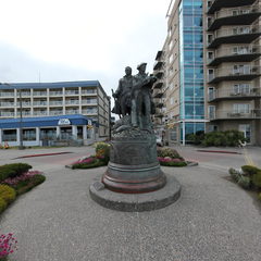
Seaside's bronze marks the western end of the journey; the Corps boiled seawater for salt nearby all winter.
 20
Jul 25, 1806
20
Jul 25, 1806
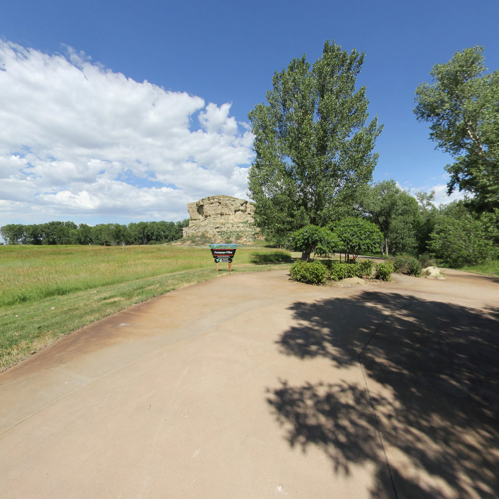
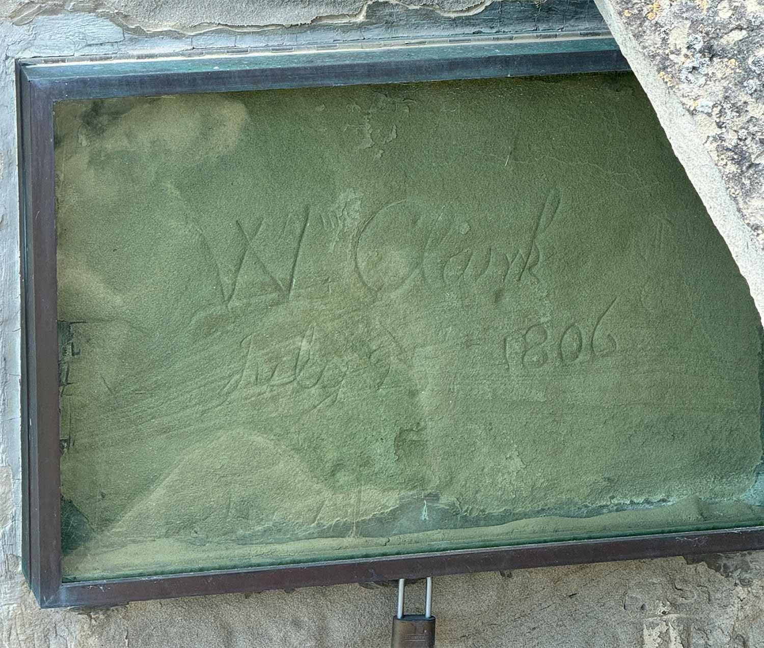
The expedition's only surviving physical trace: Clark carved his name here on July 25, 1806, homeward bound.