Map collection
· The 1607-09 voyages, and the rivers that feed the Bay
Captain John Smith Chesapeake National Historic Trail
The Bay and the rivers Smith charted
368
segments
1541.7
miles
About this collection
Captain John Smith Chesapeake National Historic Trail
Between 1607 and 1609 Captain John Smith and small crews made two voyages of roughly 3,000 miles around the Chesapeake Bay and up its tidal rivers, mapping the shoreline and the Algonquian towns along it. Congress designated the route the country's first national water trail in 2006.
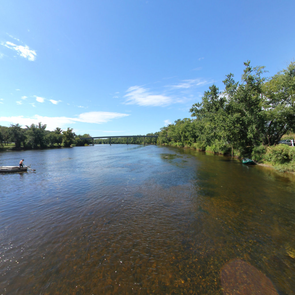
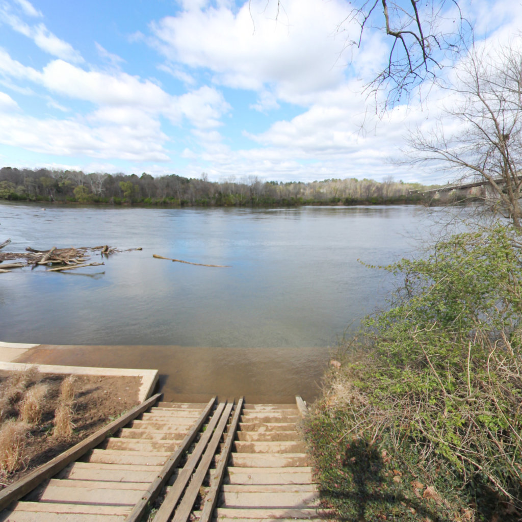
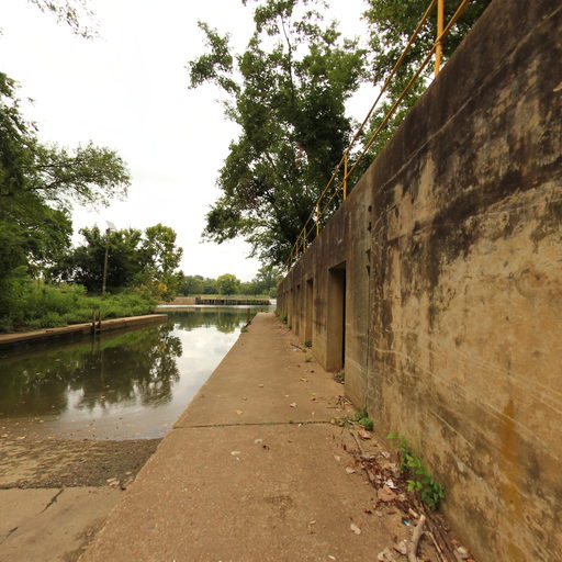
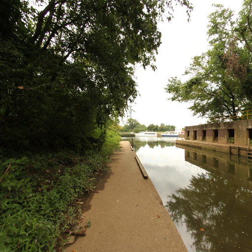
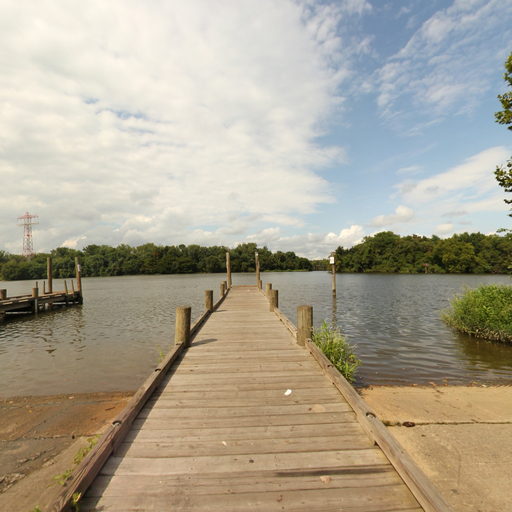
This map follows it at eye level. The blue lines are the designated historic route — the Bay and the tidal reaches of the James, York, Pamunkey, Mattaponi, Rappahannock, Potomac and Nanticoke that Smith travelled. The green lines are connecting trails added later, which carry the corridor up the Susquehanna and into the watershed above the fall line.
Route alignments follow the National Park Service centerline for the Captain John Smith Chesapeake National Historic Trail.
Explore the map
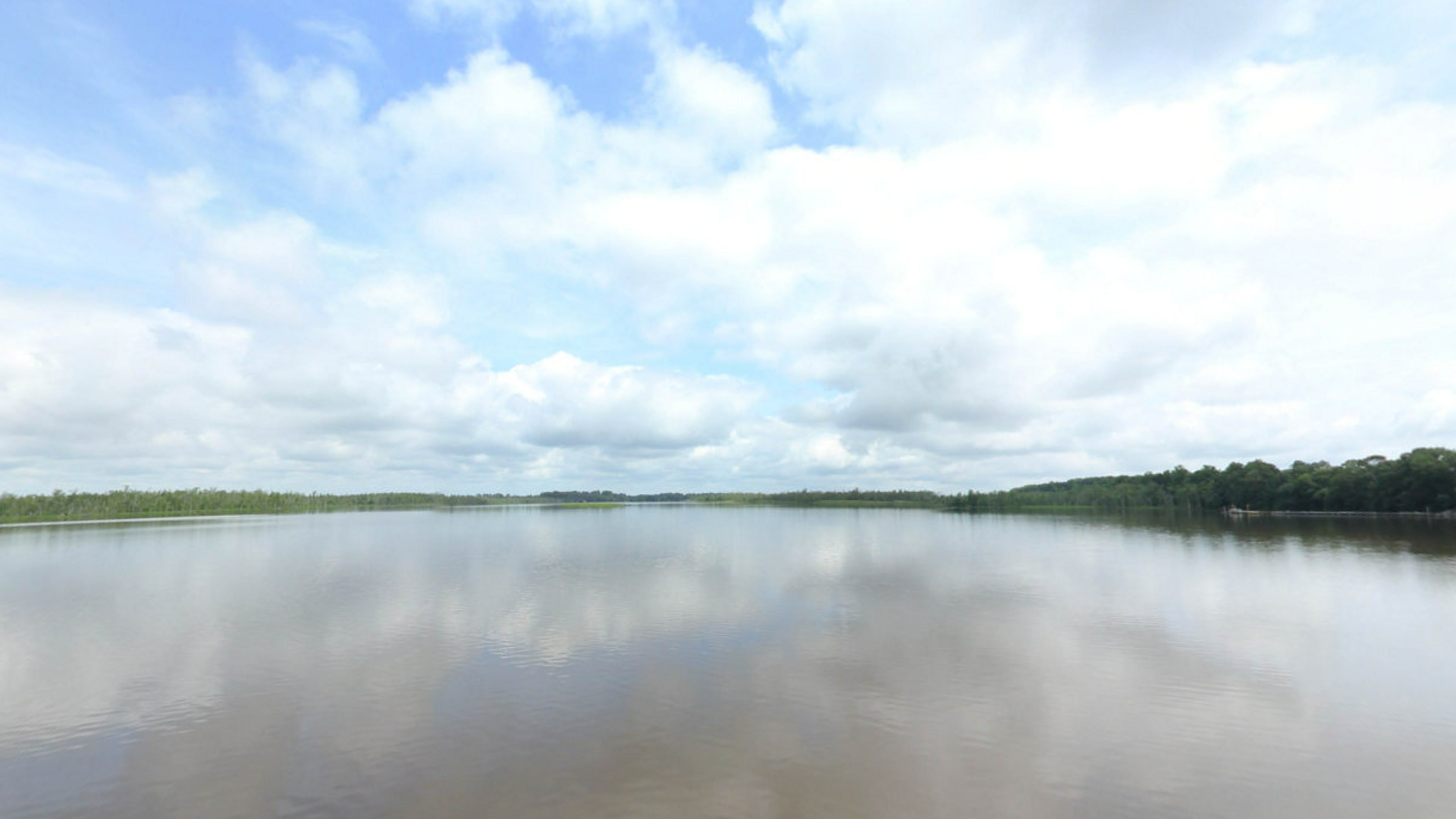
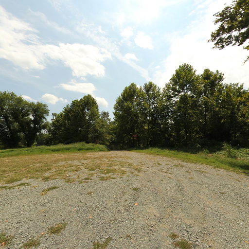
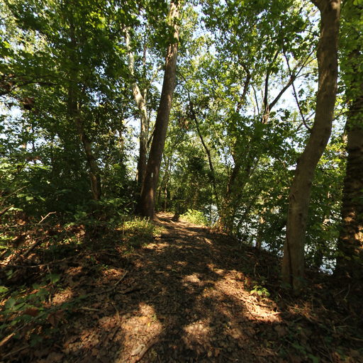
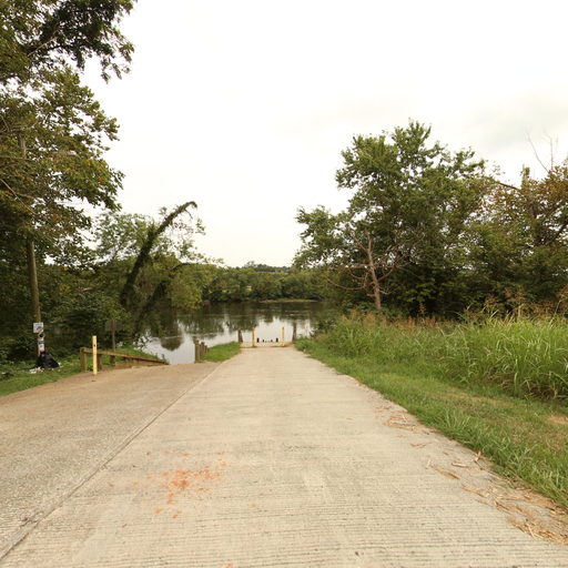
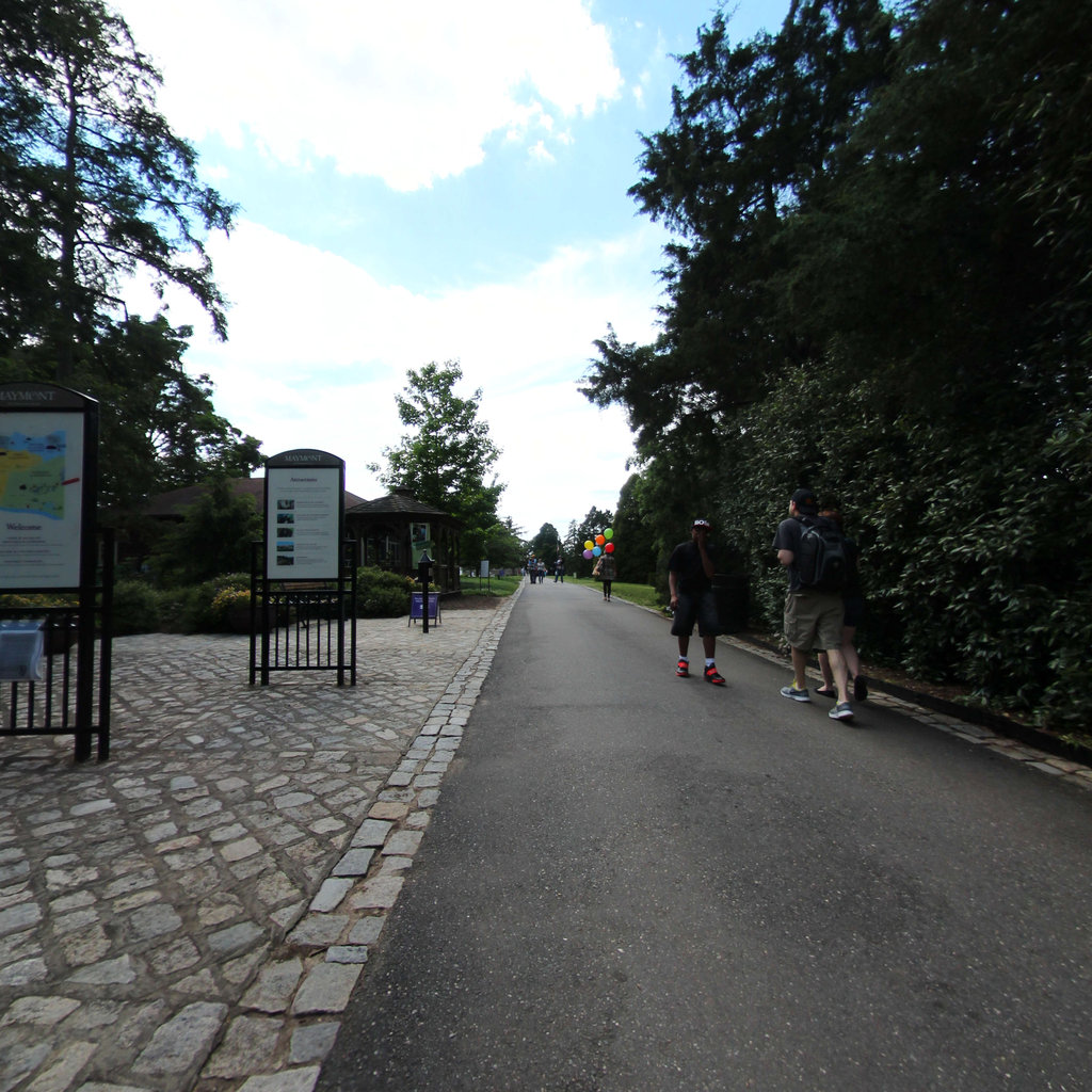
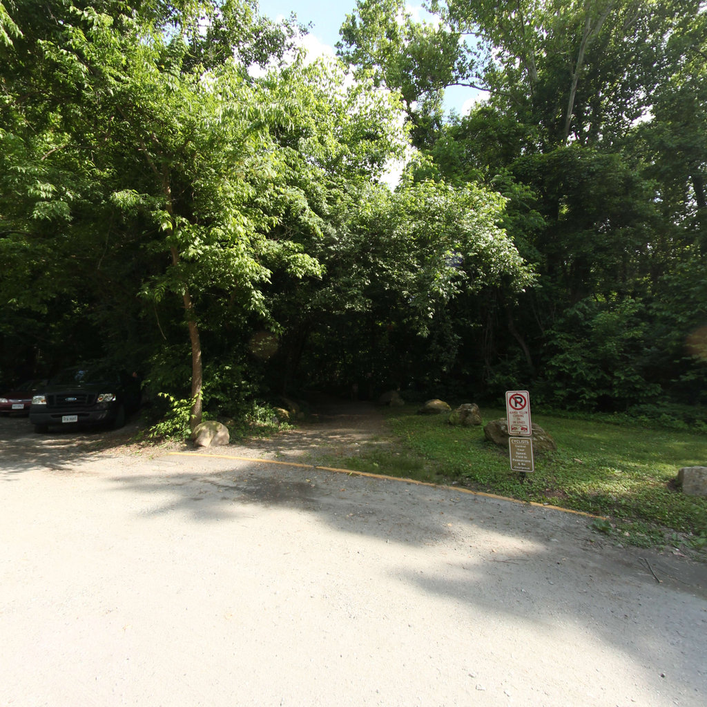
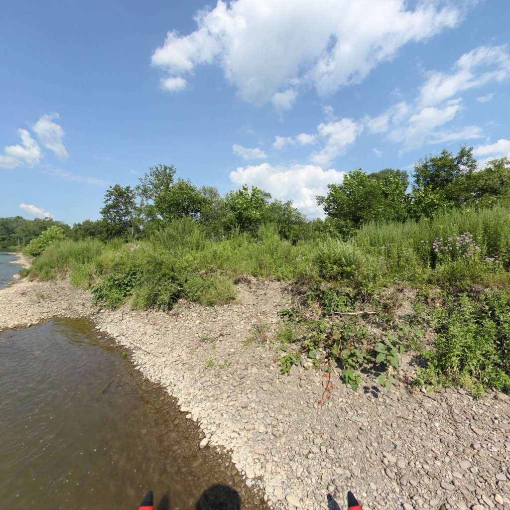
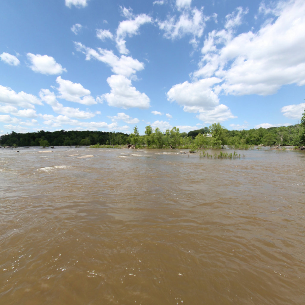
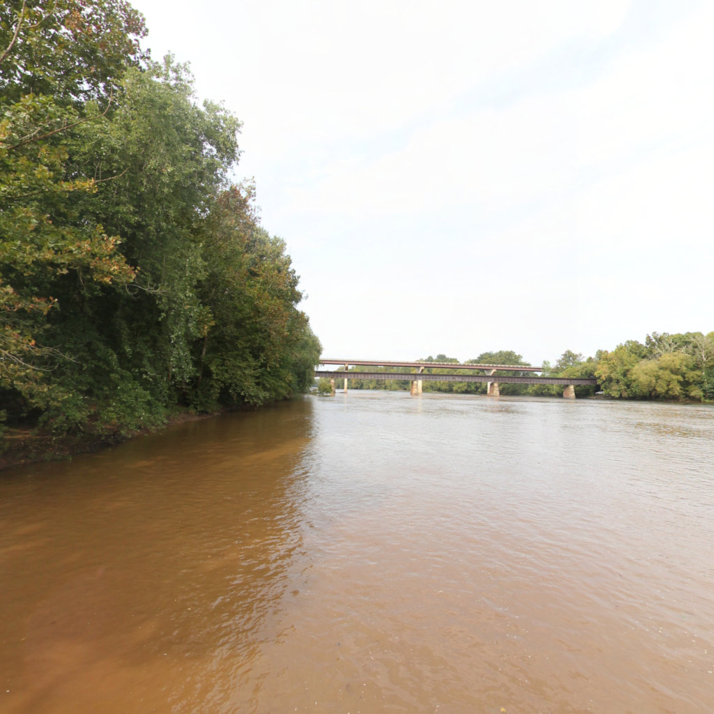
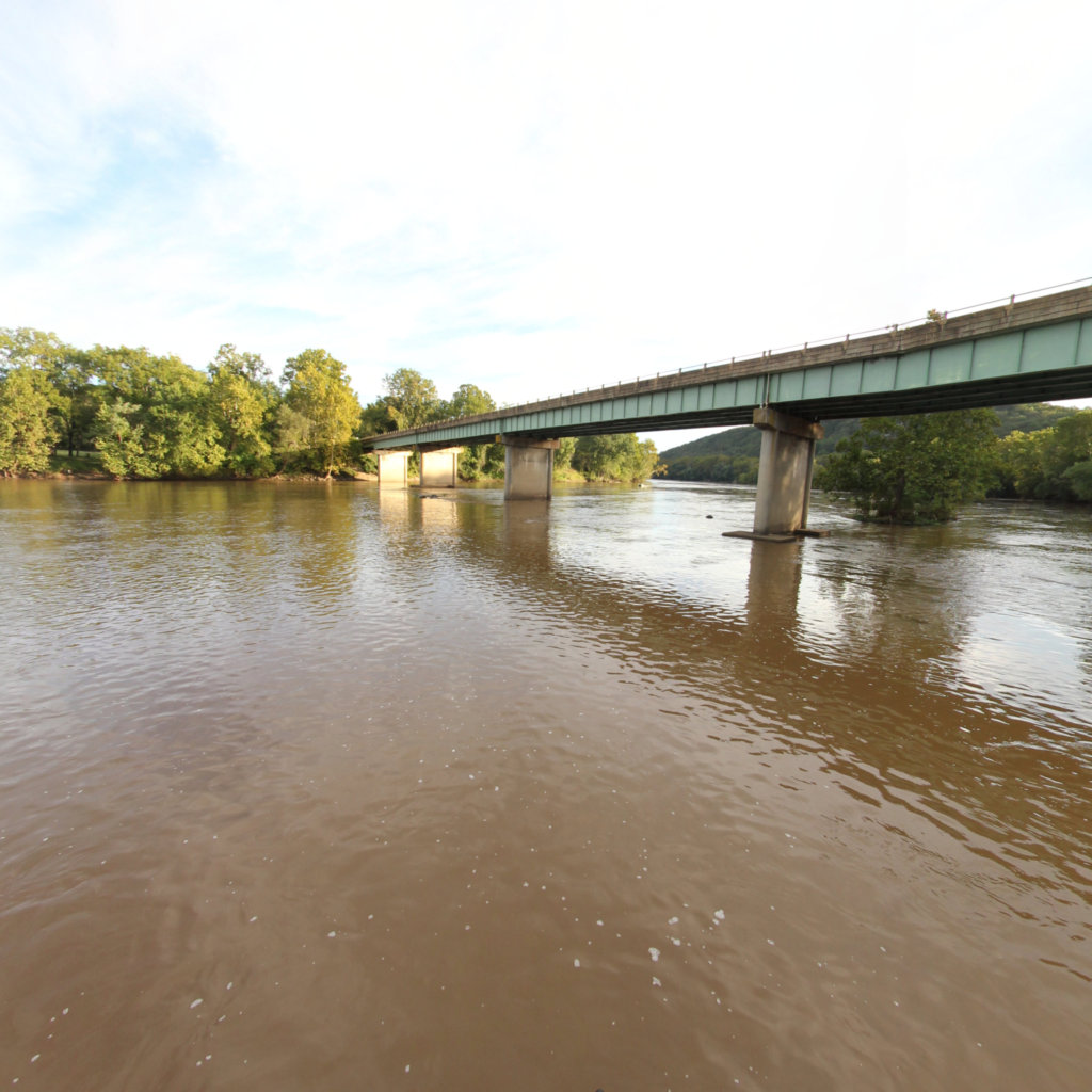
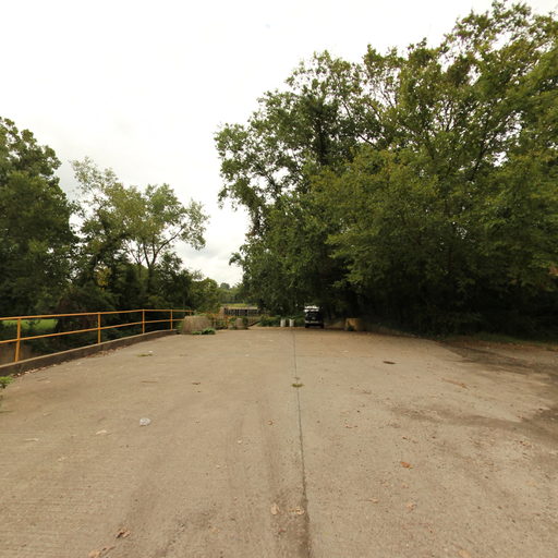
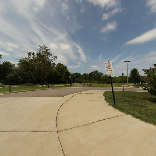
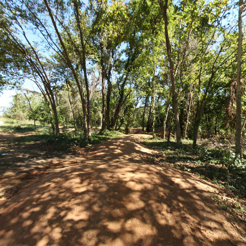
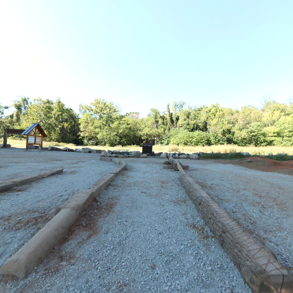
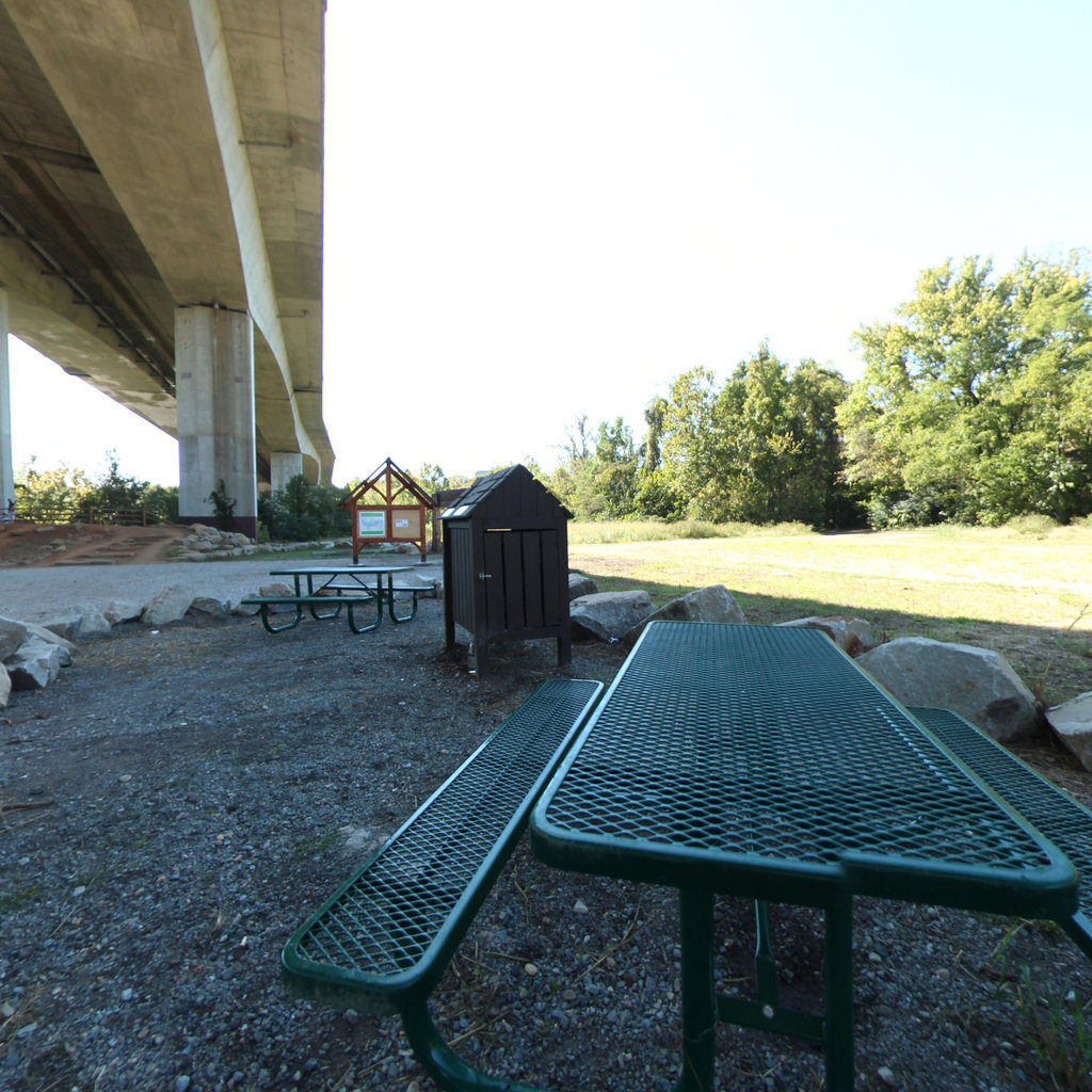
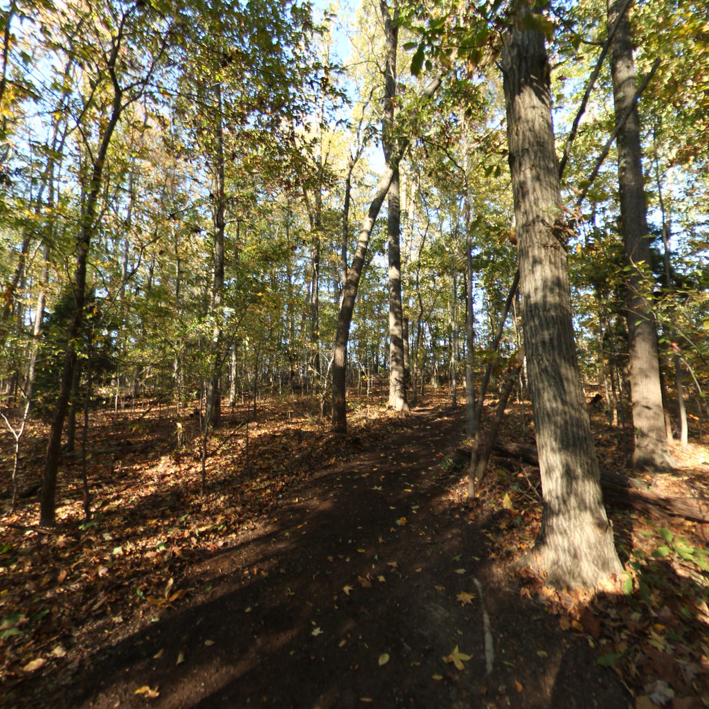
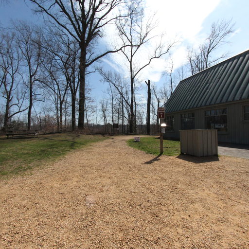
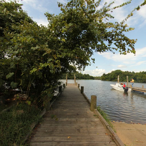
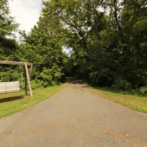
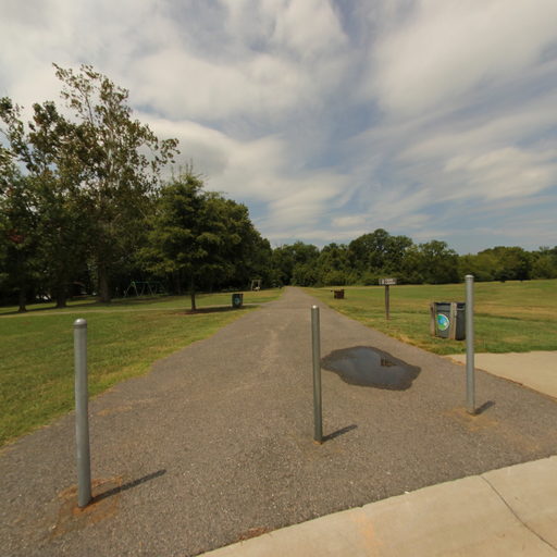
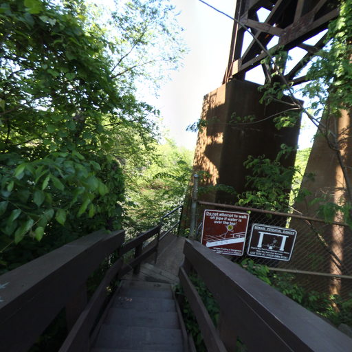
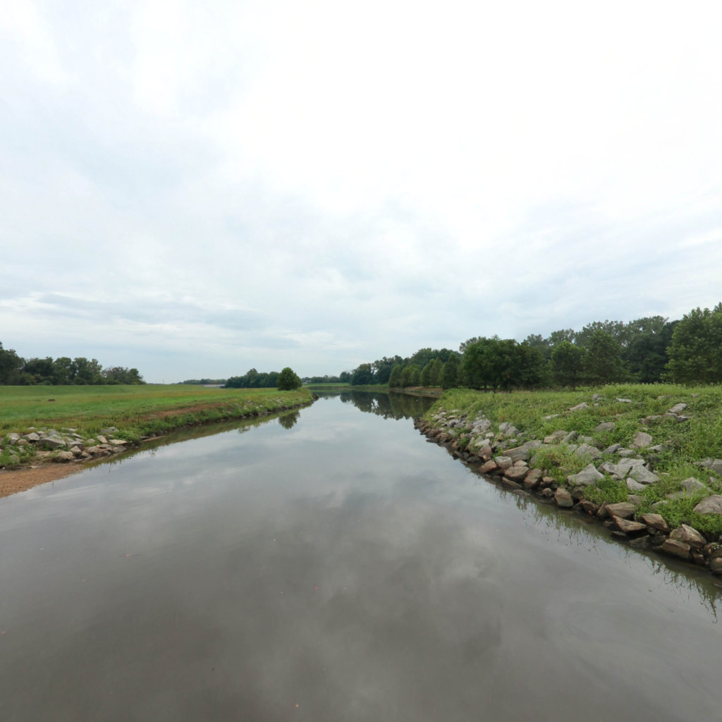
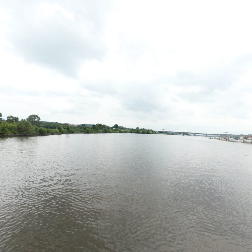
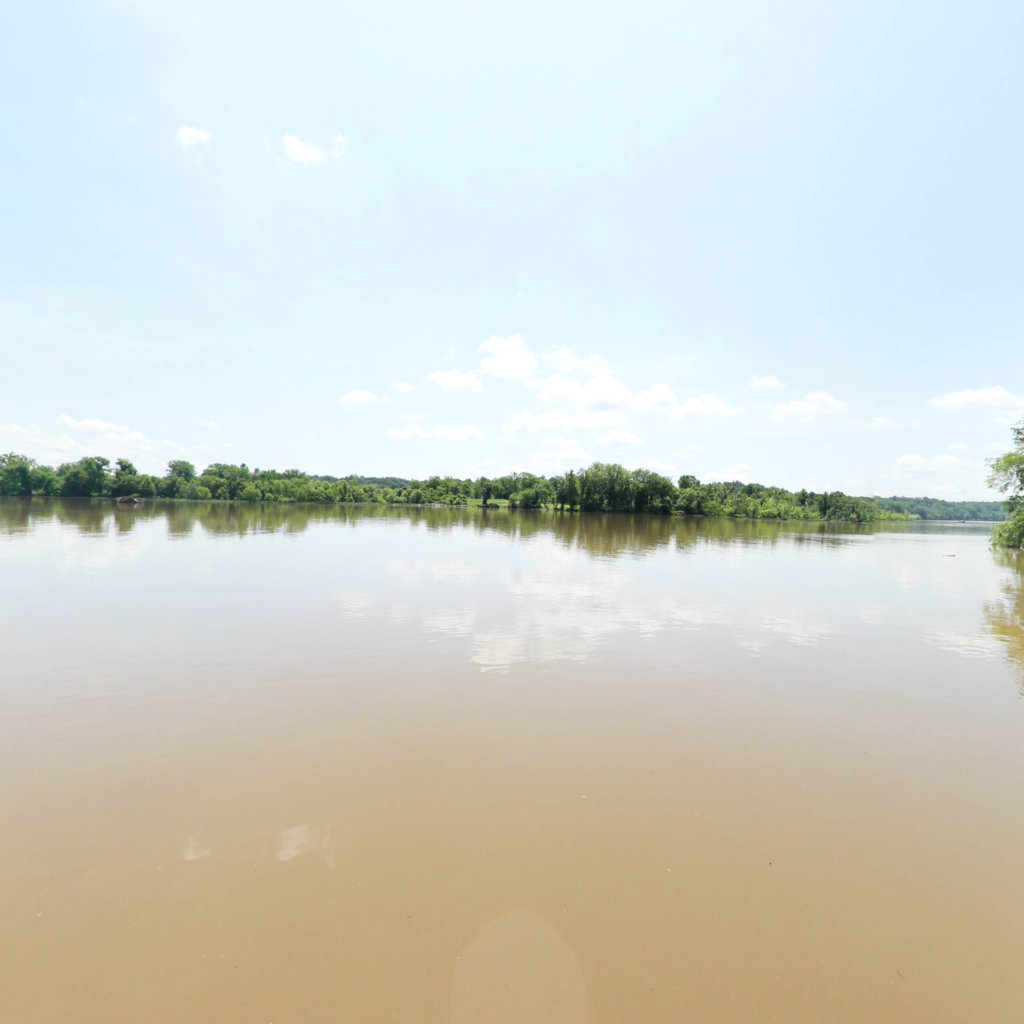
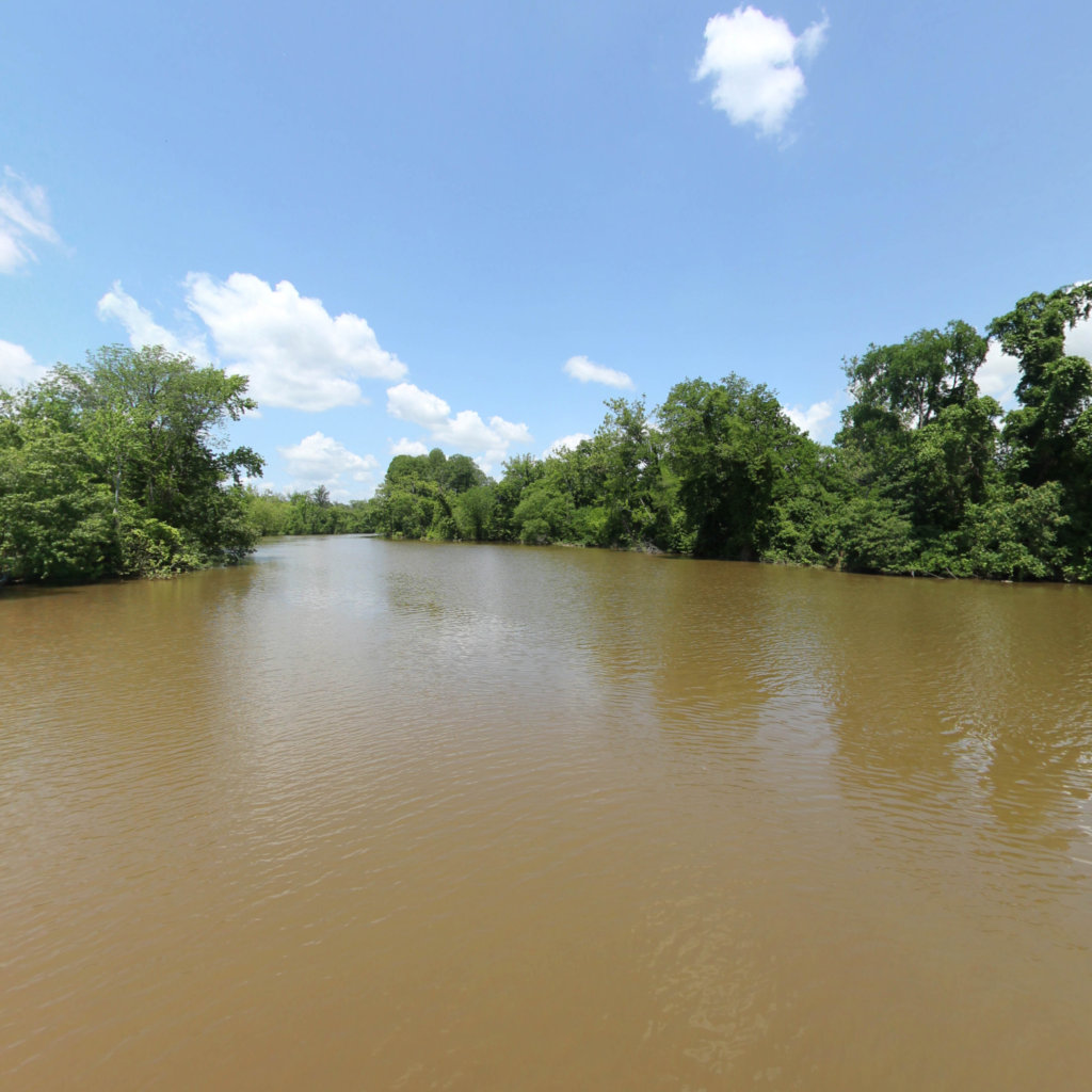
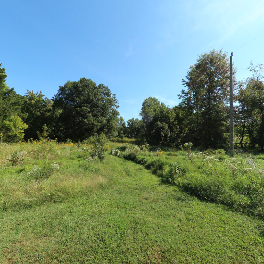
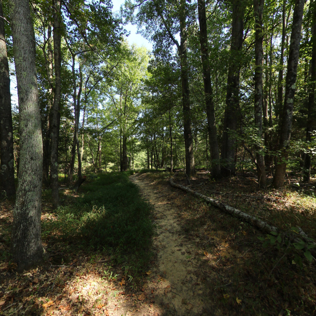
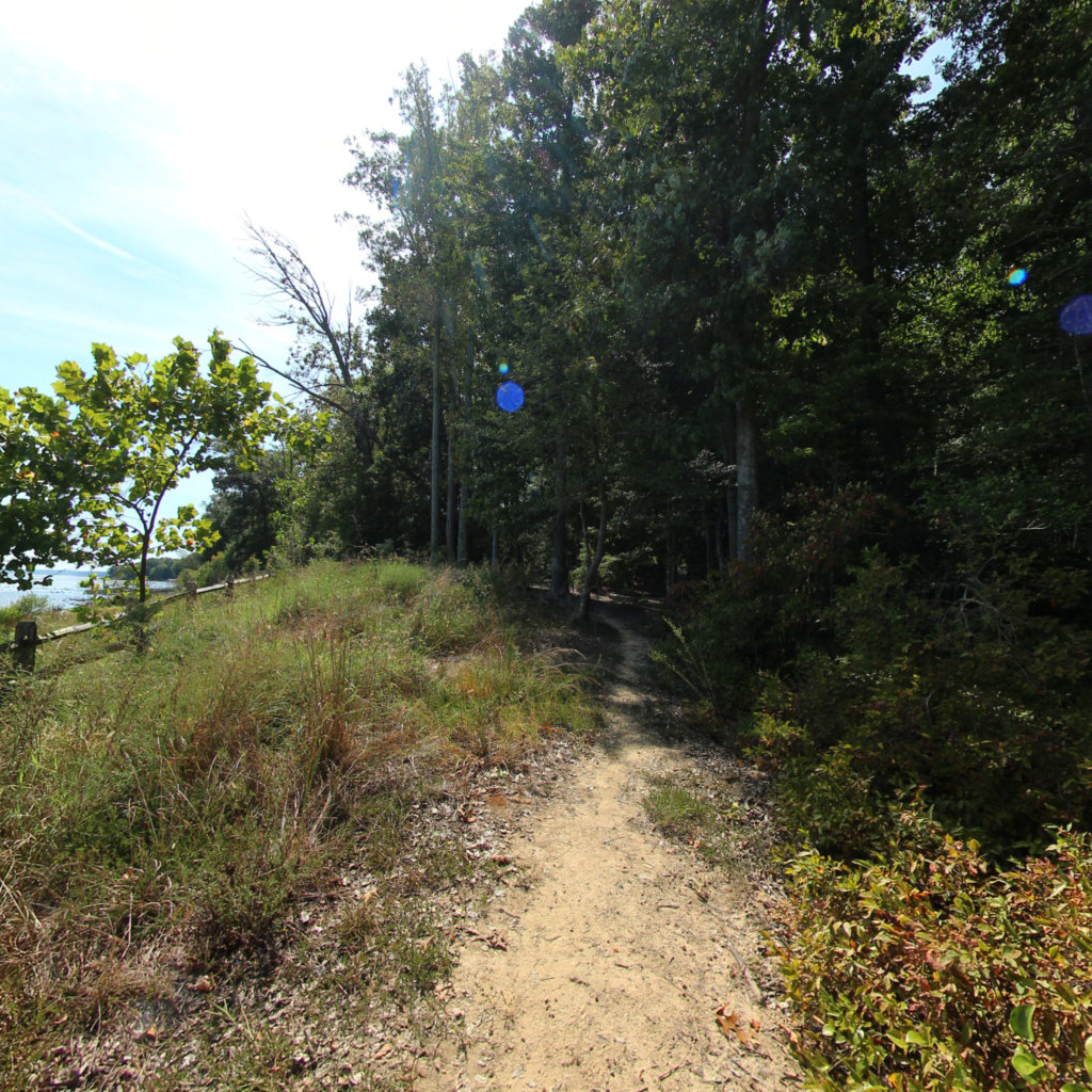
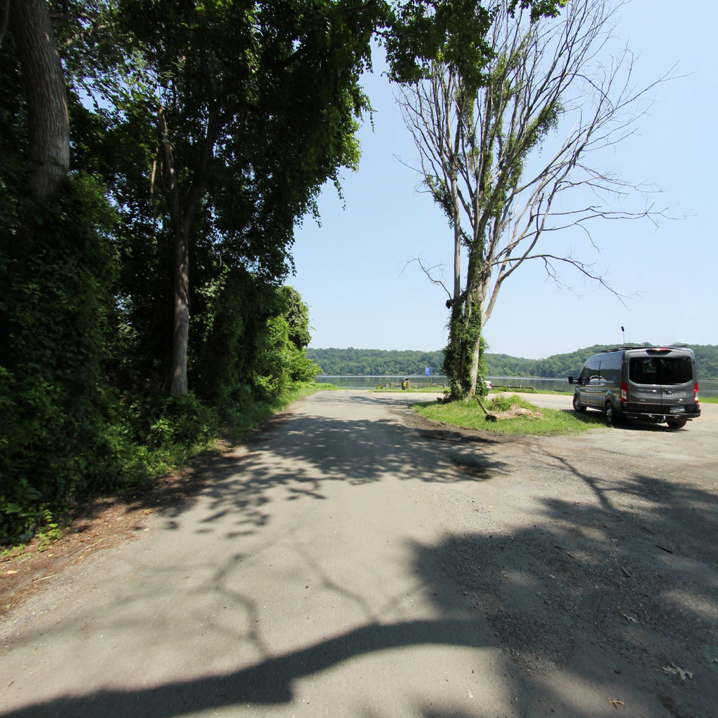
Click anywhere on the line to drop into that spot in 360°.